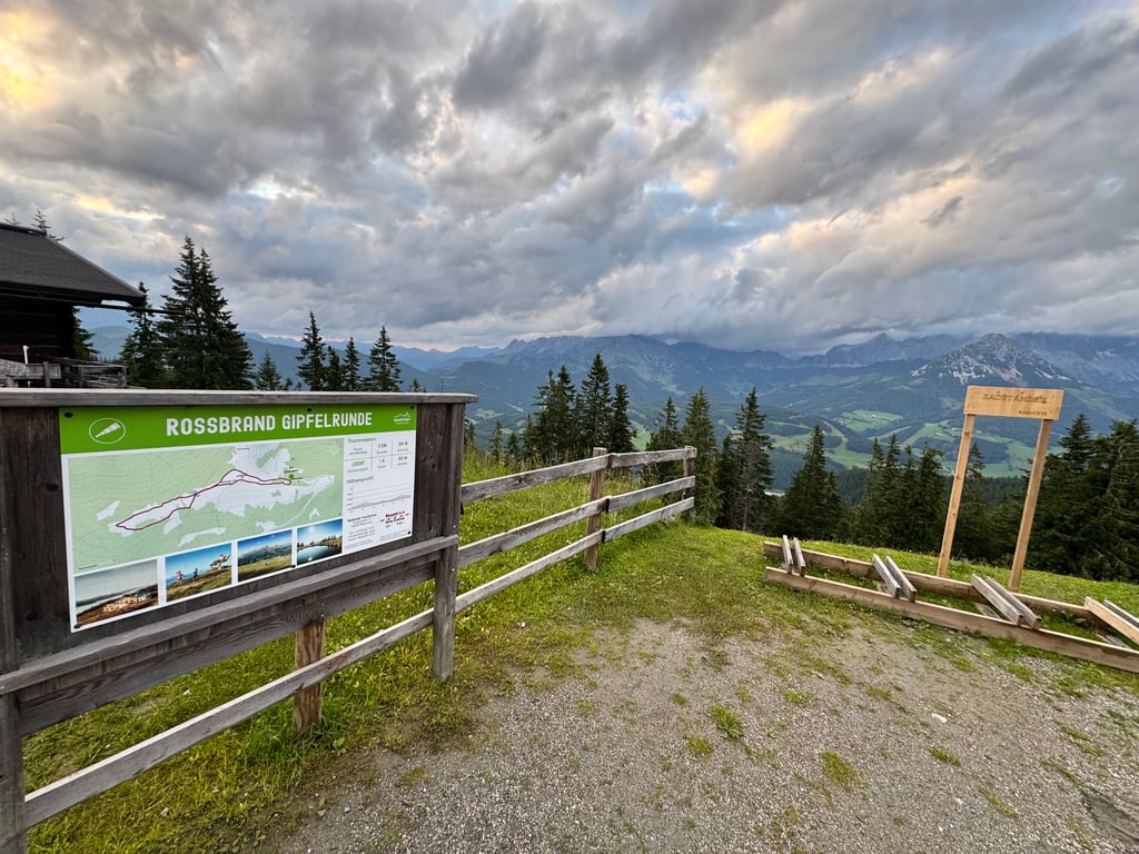
Rossbrand from Radstadt is a climb in the region Salzburg. It is 6.2 mi long and bridges 2900 ft of vertical ascent with an average gradient of 8.8%, resulting in a difficulty score of 891. The top of the ascent is located at 5666 ft above sea level. Climbfinder users shared 2 reviews of this climb and uploaded 5 photos.
Road name: Rossbransstrasse
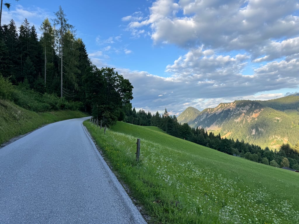
4.0 by JoostfietstThis is an automatic translation, the original language is: Dutch.Nice climb to do and the start is punchy. The first part of the climb has some curves, but then it's quite long stretches through the forest which is a bit boring, until you get the occasional beautiful view of the valley. At the summit, the view is fantastic and you can look both ways. Unpaved, you can cycle to the far end relatively easily. The asphalt in the middle of the climb is perfect, but the beginning and end a little less so... read more
Welcome! Please activate your account if you would like to share something. Look for the verification email in your inbox.
If you want to upload your photos, you need to create an account. It only takes 1 minute and it's completely free.
Nice climb to do and the start is punchy. The first part of the climb has some curves, but then it's quite long stretches through the forest which is a bit boring, until you get the occasional beautiful view of the valley. At the summit, the view is fantastic and you can look both ways. Unpaved, you can cycle to the far end relatively easily. The asphalt in the middle of the climb is perfect, but the beginning and end a little less so
Leuke klim om te doen en het begin is pittig. Het eerste deel van de klim kent nog wat bochten, maar daarna zijn het vrij lange stukken door het bos en dat is wat saaiig, tot je af en toe een prachtig uitzicht krijgt op het dal. Op de top is het uitzicht fantastich en kun je beide kanten uit kijken. Onverhard kun je relatief makkelijk naar het uiterste puntje fietsen. Het asfalt in het midden van de klim is perfect, maar het begin en einde iets minder
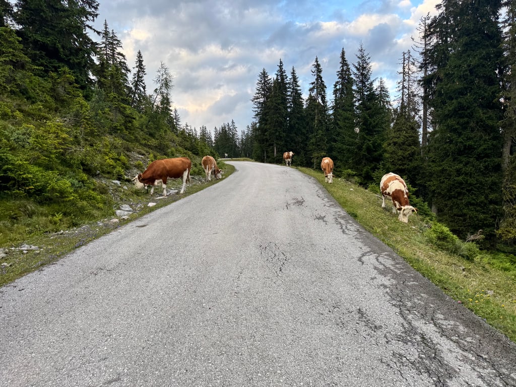
Nice climb on a quiet road. The road surface is okay, the description is not correct. The road surface even gets a little better towards the end of the climb. The climb is very irregular and especially in the first 2-3 km it is very steep but it flattens out more and more and especially towards the end you have long stretches of 4-5 percent. You end up at a parking lot, if you then walk a little further by the offroad road then you reach after 15 min walk a cafe with a beautiful view.
Mooie beklimming over een rustige weg. De wegdek is gewoon oké, de beschrijving klopt niet. De wegdek wordt zelfs iets beter richting het einde van de klim bereikt. De klim is erg onregelmatig en vooral in de eerste 2-3 km is die erg steil maar hij vlakt steeds meer af en voraal richting het einde heb je lange stukken 4-5 procent. Je eindigt bij een parkeerplaats, als je dan een stukje verder loopt door de offroad weg dan bereik je na 15 min lopen een cafetje met een schitterende uitzicht.
| 5 mph | 01:15:08 |
| 7 mph | 00:53:12 |
| 9 mph | 00:41:27 |
| 12 mph | 00:31:09 |
This page is better in the app