Tips nearby


Rondelenstraat from Libeek is a climb in the region South Limburg. It is 0.8 mi long and bridges 151 ft of vertical ascent with an average gradient of 3.5%, resulting in a difficulty score of 23. The top of the ascent is located at 548 ft above sea level. Climbfinder users shared 6 reviews of this climb and uploaded 9 photos.
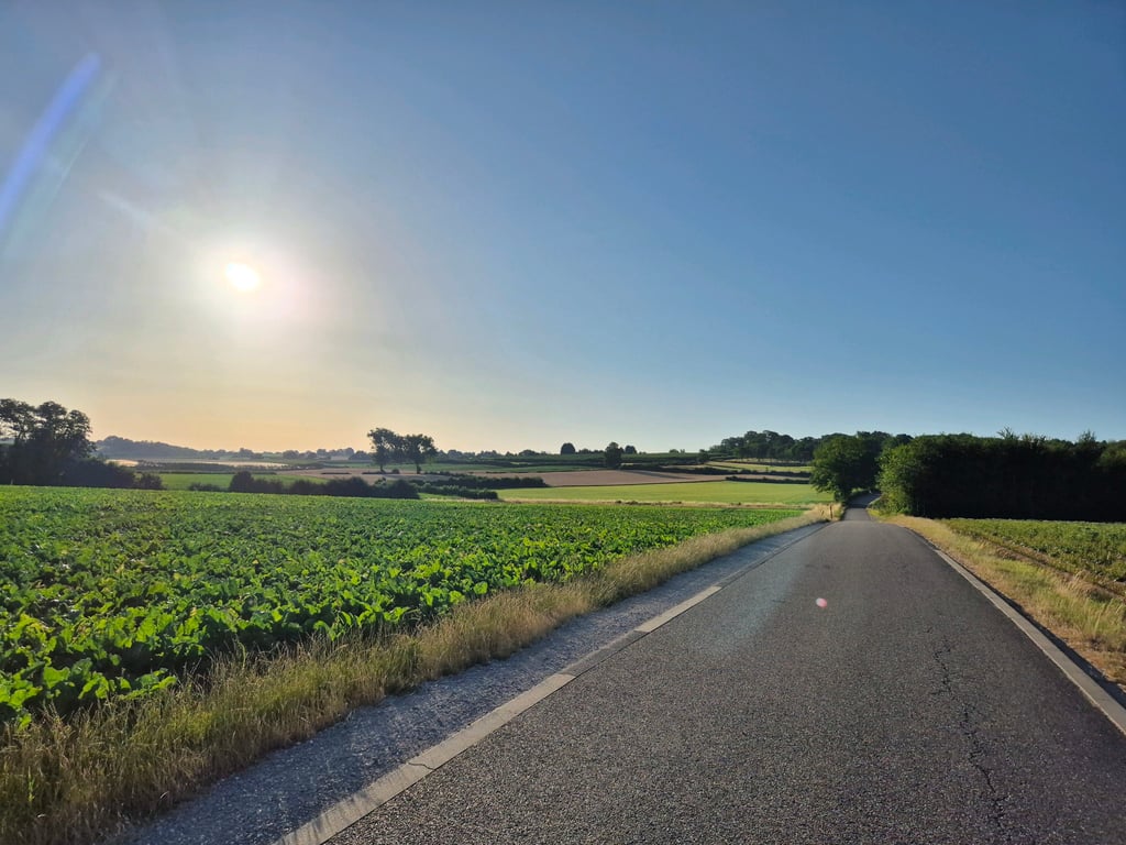
Road names: Libeek & Rondelenstraat
1.0 by TimvanDorstThis is an automatic translation, the original language is: Dutch.A nice little climb to start your trip through southern Limburg. Nothing else special... read more

Welcome! Please activate your account if you would like to share something. Look for the verification email in your inbox.
If you want to upload your photos, you need to create an account. It only takes 1 minute and it's completely free.
A nice little climb to start your trip through southern Limburg. Nothing else special
Een lekker klimmetje om je tocht door Zuid-Limburg mee in te komen. Verder niet speciaal
You can reach the start of this climb via Heiweg from Mesch as Moerslag via St Geertruiderweg and Libekerstraat from St Geertruid. The first 800 metres is false flat. Where there is an orchard on the right, it really goes up. The climb is then almost complete but, especially with the necessary kilometres already in the legs, the short steeper part can be quite painful.
Je kan het begin van deze klim bereiken via de Heiweg vanuit Mesch alsmede Moerslag via St. Geertruiderweg en de Libekerstraat vanuit St. Geertruid. De eerste 800 meter is vals plat. Waar rechts een hoogstamboomgaard is gaat het pas echt omhoog. De klim is dan bijna voltooid maar zeker bij al de nodige kilometers in de benen hebben kan het korte steilere deel flink pijn doen.
If you come from Sint-Geertruid, you already have some (steep) altitude metres in your legs before you reach the start of this climb. The road continues to rise slightly to and along a large farm after which a small descent follows, where you have the start of the "real"climb right in sight. The road rises steeply until the edge of the forest on the right. Then the slope decreases but you still feel a lot as you follow a hollow road to the top. Immediately afterwards you are between the houses of Mheer. A nice climb with beautiful asphalt and back nice view in the steep part.
Als je vanuit Sint-Geertruid komt heb je al wat (steile) hoogtemeters in de benen voordat je bij het begin van deze klim bent. De weg blijft lichtjes doorstijgen naar en langs een grote boerderij waarna een kleine afdaling volgt waarbij je het begin van de "echte" klim meteen mooi in beeld hebt. De weg stijgt flink tot aan de bosrand rechts. Daarna neemt de helling langzaam af maar je blijft deze nog wel flink voelen terwijl je een holle weg volgt tot aan de top. Meteen daarna zit je tussen de huizen van Mheer. Een leuke klim met mooi asfalt en achterom aardig uitzicht in het steile gedeelte.
From Libeek on, the road doesn't seem to rise much. Yet slowly you feel your legs filling up and it becomes harder to push a big gear. I felt it was just not going well but now that I see the profile, I can explain it; I was climbing more than I realized anyway. Only when the forest came into view did I really feel like I was on a climb. There you can see the road in front of you rising steeply for a while. But fortunately the steeper part does not last long and you are almost at the top.
Vanaf Libeek lijkt de weg nog niet echt te stijgen. Toch voel je langzaam je benen vollopen en wordt het zwaarder een groot verzet rond te duwen. Voor mijn gevoel liep het gewoon echt niet lekker maar nu ik het profiel zie kan ik dat verklaren; ik was toch al meer aan het klimmen dan ik door had. Pas toen het bos in beeld kwam had ik echt het gevoel op een klim te zitten. Daar zie je de weg voor je toch even steil oplopen. Maar gelukkig duurt het steilere stuk niet echt lang en ben je daarna ook zo goed als op de top.
The first hundreds of meters are actually false flat between fields and meadows. The steeper piece to Mheer is a typical South Limburg road (so beautiful). The climb is actually a little longer than indicated here, if you turn right at the top in Mheer (even if it is only false flat, but still ...) to the exit to Banholt.
De eerste honderden meters zijn eigenlijk vals plat tussen de weilanden en akkers door. Het steilere stuk naar Mheer is een typisch Zuid Limburgse komweg (dus fraai). De klim loopt eigenlijk iets langer door dan hier aangegeven, als je bovenaan rechtsaf slaat Mheer in (ook als het maar vals plat, maar toch...) tot aan de afslag naar Banholt.
| 5 mph | 00:09:53 |
| 7 mph | 00:06:59 |
| 9 mph | 00:05:27 |
| 12 mph | 00:04:05 |
This page is better in the app