Rochuskapelle via Albach is a climb in the region Hunsrück. It is 2.5 mi long and bridges 535 ft of vertical ascent with an average gradient of 4%, resulting in a difficulty score of 88. The top of the ascent is located at 1004 ft above sea level. Climbfinder users shared 1 review/story of this climb and uploaded 8 photos.
Road name: Albach
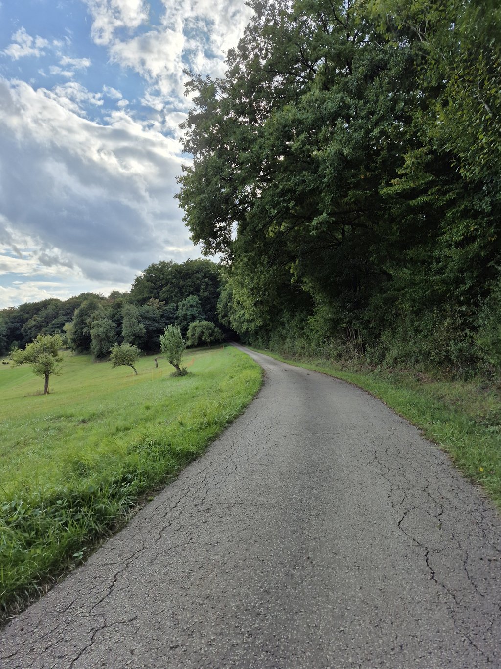
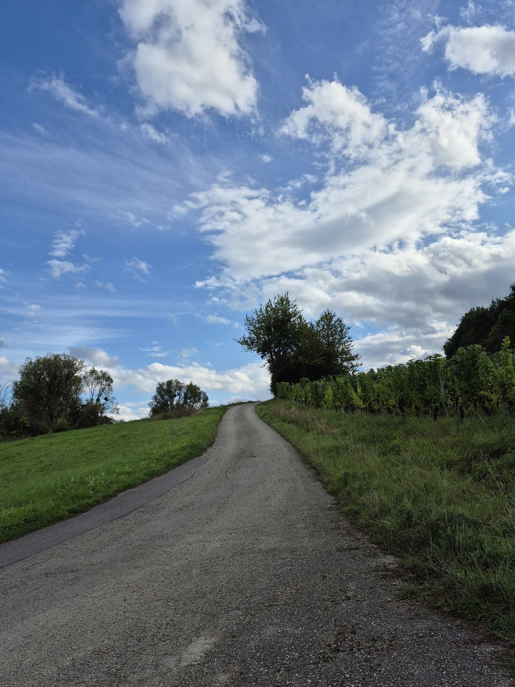
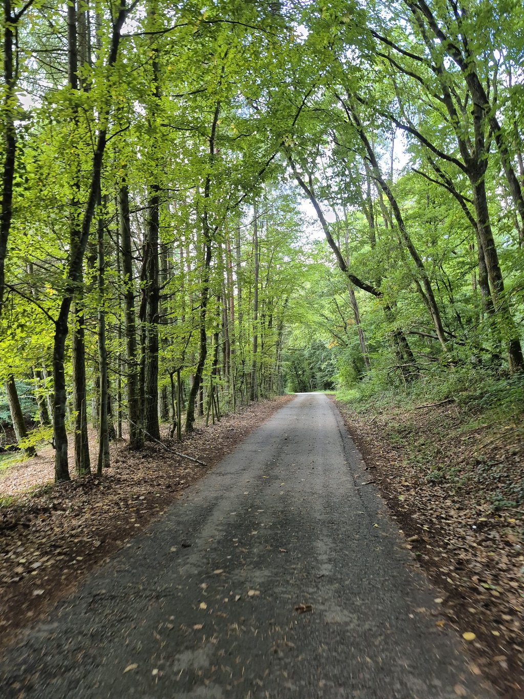
4.0 by elbowboyThis is an automatic translation, the original language is: German.The Ahlbach is a little insider tip, quietly situated, with little car traffic and quite good road conditions for a - de facto - farm track. The lower part is rather flat and is completely in the forest, here it is often cool and damp, even longer damp on the road. Once you have passed the hotel, the gradient increases slightly along the two hairpin bends. There are water drains here that have to be negotiated. After the hairpin bends, the gradient flattens out, you cycle through the vineyards ... read more

Welcome! Please activate your account if you would like to share something. Look for the verification email in your inbox.
If you want to upload your photos, you need to create an account. It only takes 1 minute and it's completely free.
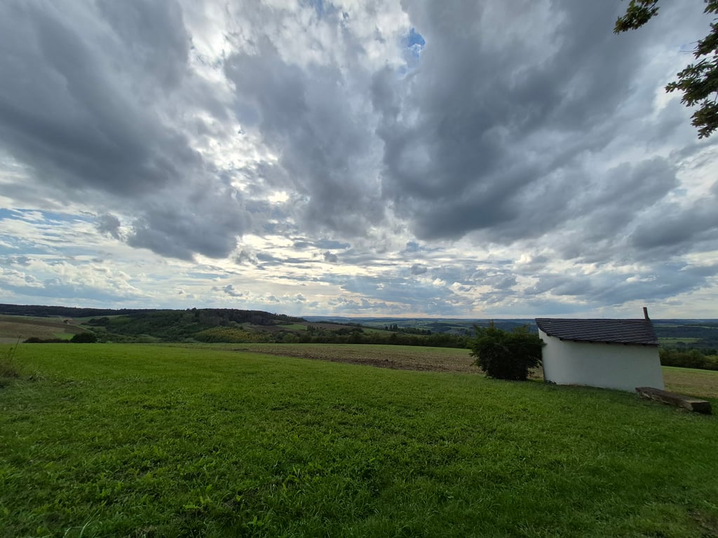
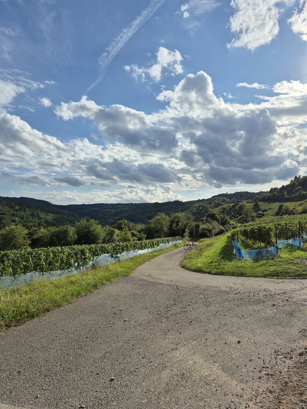
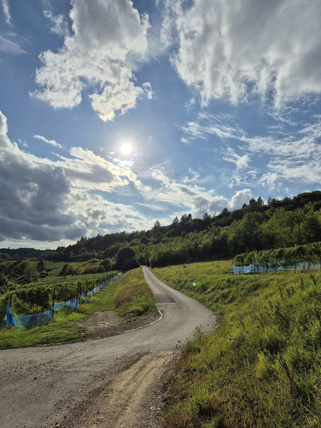
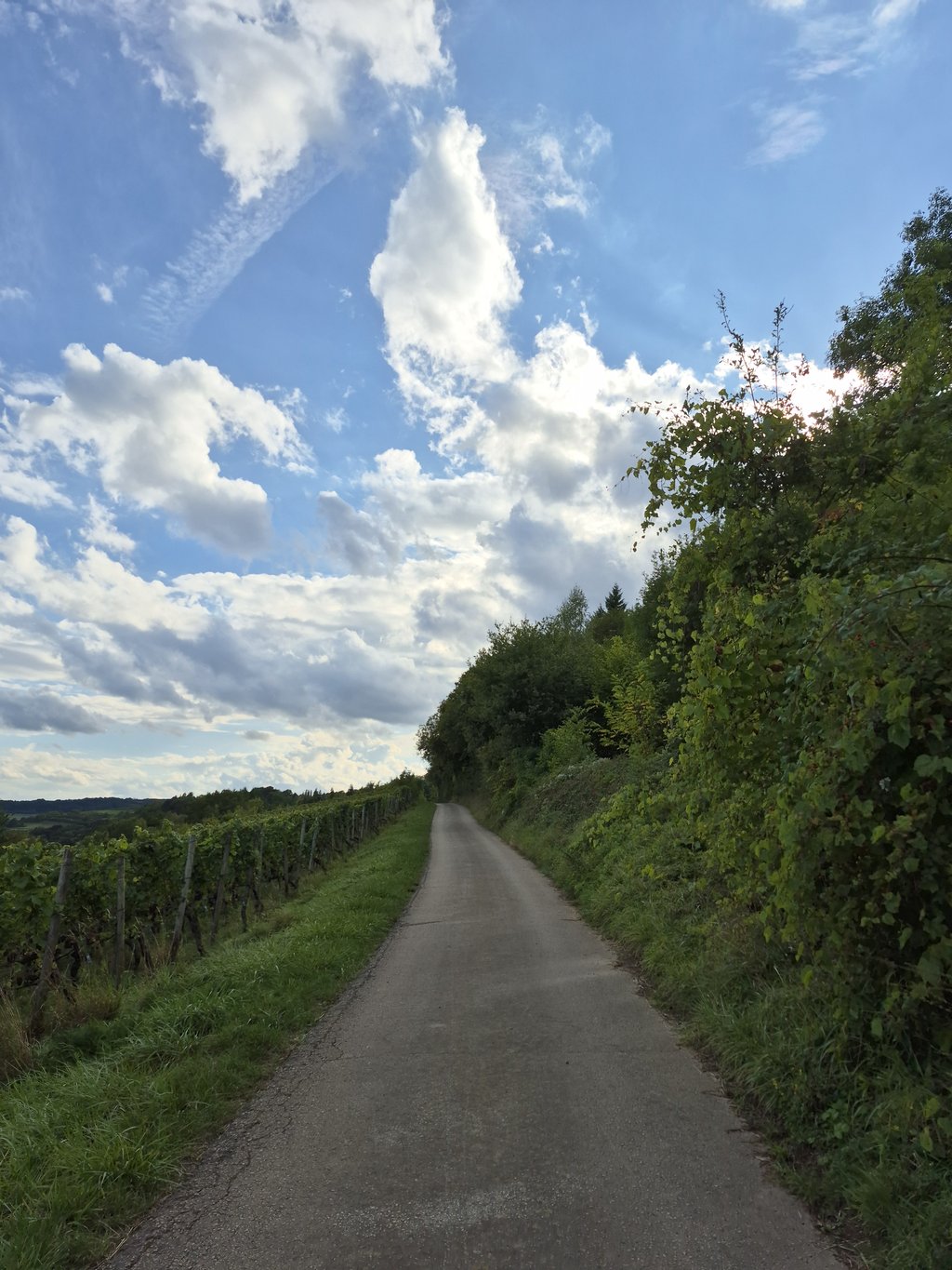
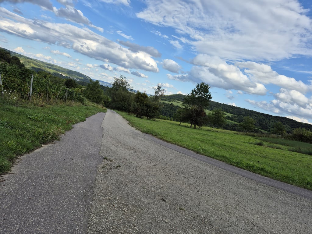
The Ahlbach is a little insider tip, quietly situated, with little car traffic and quite good road conditions for a - de facto - farm track. The lower part is rather flat and is completely in the forest, here it is often cool and damp, even longer damp on the road. Once you have passed the hotel, the gradient increases slightly along the two hairpin bends. There are water drains here that have to be negotiated. After the hairpin bends, the gradient flattens out, you cycle through the vineyards and have a beautiful view. Approx. 1 km before the end, there is a short steep section for a maximum of 100 m, after which it is easy to cycle up to the chapel, crossing another short wooded section. The view of the Moselle from the top is very beautiful.
Die Ahlbach ist ein kleiner Geheimtipp, ruhig gelegen, mit wenig Autoverkehr und recht guten Straßenverhältnissen für einen - de facto - Wirtschaftsweg. Der untere Teil ist eher flach und liegt komplett im Wald, hier ist es oft kühl und feucht, auch länger feucht auf der Straße. Wenn man am Hotel vorbei ist zieht die Steigung im Verlauf der beiden Serpentinen etwas an. Hier gibt es Wasserabläufe, die durchfahren werden müssen. Nach den Serpentinen flacht die Steigung ab, mam fährt duch die Weinberge und hat eine schöne Aussicht. Ca. 1 km vor Schluss kommt dann ein kurzer steiler Abschnitt für max. 100 m, danach bis zur Kapelle einfach zu fahren, man durchquert nochmal kurz bewaldete Strecke. Der Blick von oben auf die Mosel ist sehr schön.
| 5 mph | 00:30:34 |
| 7 mph | 00:21:38 |
| 9 mph | 00:16:51 |
| 12 mph | 00:12:40 |
This page is better in the app