View on map
© MapLibre | OpenStreetMap contributors
1%
2%
4%
6%
8%
10%
12%
15%
20%

Renkebierg from Schrondweiler

3.0
1 review/story | Elevation profile | 4 photos
Tips nearby
Renkebierg from Schrondweiler
transparant thumb
transparant thumb
transparant thumb
transparant thumb
Your achievable time
Calculating based on your best performances...
Relaxed
Maximum
W/kg
W/kg
W/kg
Analyze your climbing performance
Detailed insight into your climbing performance & automatically check off climbs
Based on your best performances.
Your best attempt:
Number of attempts:
Elevation profile Renkebierg from Schrondweiler

Statistics

Difficulty points 51
Length 1.4 mi
Average gradient 4%
Steepest segment 8.5%
Total ascent 299 ft
Feedback about this climb?
Show climbs nearby Export to GPS device

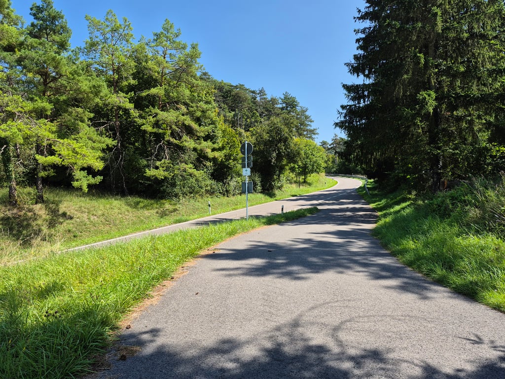
Renkebierg from Schrondweiler is a climb in the region Nordstad. It is 1.4 mi long and bridges 299 ft of vertical ascent with an average gradient of 4%, resulting in a difficulty score of 51. The top of the ascent is located at 1102 ft above sea level. Climbfinder users shared 1 review/story of this climb and uploaded 4 photos.

Road names: Rue de l'ecole & Cr 119
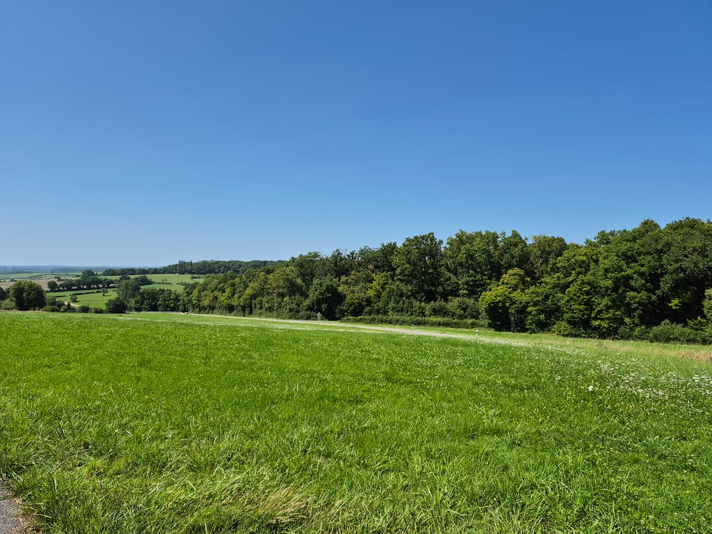
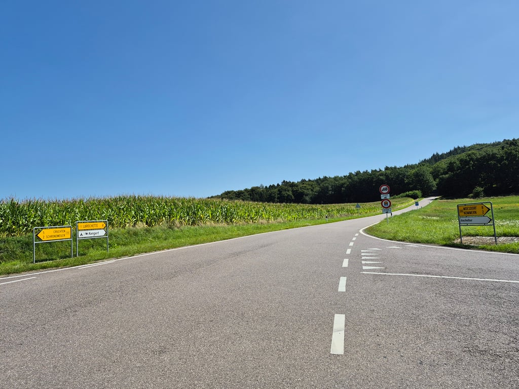
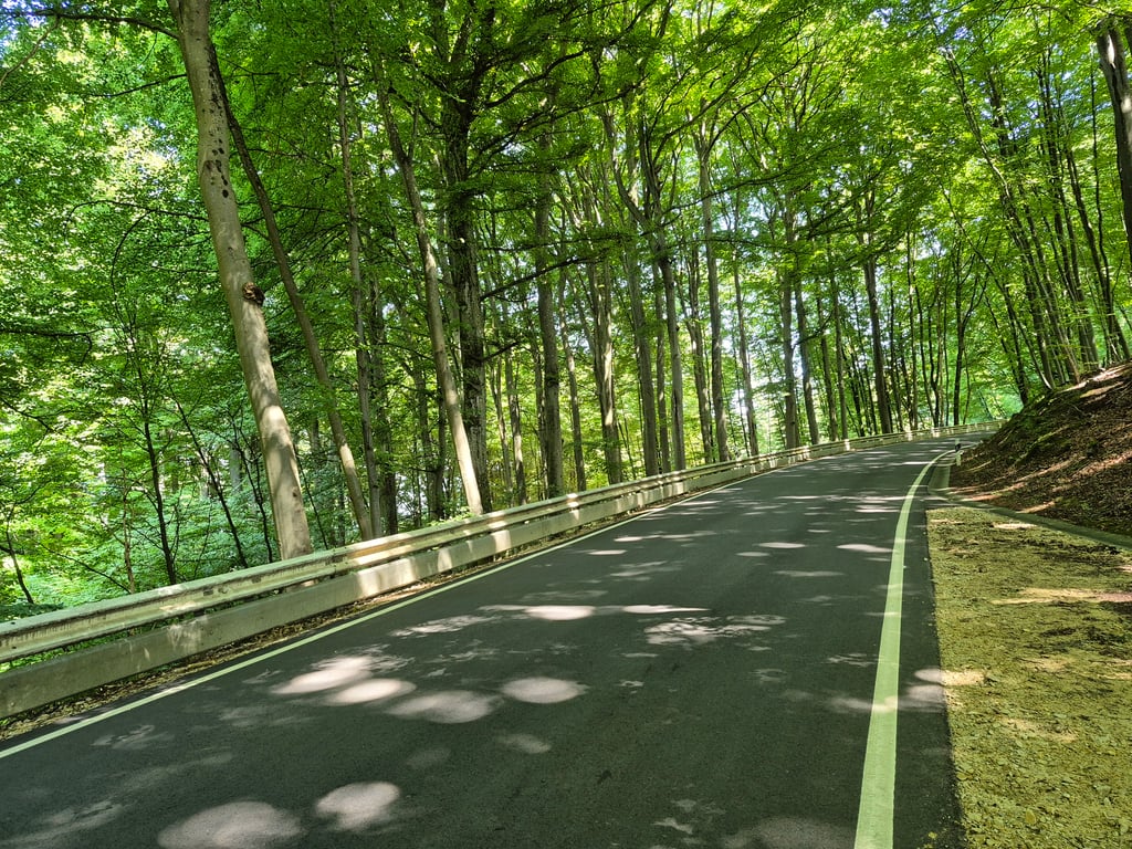
3.0 by elbowboy
This is an automatic translation, the original language is: German.
Definitely worth it if you're in the neighbourhood. The ascent starts from Schrondweiler at a leisurely pace with a short descent in between. Then a somewhat tiring section, not particularly steep but you can see the route straight ahead of you before entering a wooded area that is rather steeper than the 3-5% indicated here.... read more

Photos (4)

Renkebierg from Schrondweiler
transparant thumb
transparant thumb

Your uploads (max 4)

Welcome! Please activate your account if you would like to share something. Look for the verification email in your inbox.

If you want to upload your photos, you need to create an account. It only takes 1 minute and it's completely free.

  • Receive free climbfinder goodies for your reviews & photos.
  • Create a bucket list and check off conquered climbs.
  • Add missing climbs.
Continue with GoogleContinue with Google Continue with FacebookContinue with Facebook Continue with AppleContinue with Apple Sign up with email
By signing up you agree to our terms of service and confirm that you have read our privacy & content policy.

Reviews (1)

5.0
4.0
3.0
2.0
1.0
elbowboy
9 Mo 3.0 via the Climbfinder app
This is an automatic translation, the original language is: German. Show original

Definitely worth it if you're in the neighbourhood. The ascent starts from Schrondweiler at a leisurely pace with a short descent in between. Then a somewhat tiring section, not particularly steep but you can see the route straight ahead of you before entering a wooded area that is rather steeper than the 3-5% indicated here.

Lohnt sich auf jeden Fall, wenn man in der Nähe ist. Die Steigung beginnt von Schrondweiler aus gemütlich mit einer kleinen Abfahrt dazwischen. Danach ein etwas ermüdender Abschnitt, nicht besonders steil aber man sieht die Strecke gerade vor sich liegen, bevor es in einen bewaldeten Bereich geht, der eher etwas steiler ist, als die hier angegebenen 3-5%.

Dashboard

Climbing times

5 mph 00:17:11
7 mph 00:12:10
9 mph 00:09:29
12 mph 00:07:07

Road surface condition

0% 0% 0%
Based on 0 votes
Share your knowledge. What was the road condition during your ascent?

Traffic

0% 0% 0%
Based on 0 votes
Your experience counts. How much traffic did you encounter during the climb?

Frequently Asked Questions

Renkebierg can be cycled from 3 sides. Renkebierg from Medernach is the most popular side, but the summit can also be reached via Renkebierg from Nommern & Renkebierg from Schrondweiler.

You don't need special gearing for Renkebierg from Schrondweiler. The slope isn't long or steep enough to require much shifting down. You can conquer this climb on power alone. However, a compact gearing system with a smallest front chainring of 34 and largest rear sprocket of 28 or 30 is always nice if you enjoy cycling uphill. This helps maintain a smooth cadence.

Renkebierg from Schrondweiler falls into the 5th category. With good fitness, you can ride it up with speed and power. If you have less training, shift down and climb smoothly.

Renkebierg from Schrondweiler is 1.4 mi long.

The average gradient of Renkebierg from Schrondweiler is 4%.

Renkebierg from Schrondweiler has a steepest segment with an average gradient of 8.5%.

The summit of Renkebierg from Schrondweiler is at 1102 ft.

At a slow pace of 5 mph, it takes about 00:17:11 to climb Renkebierg from Schrondweiler. At 7 mph the time is 00:12:10, and at 9 mph 00:09:29. For the fastest cyclists, 00:07:07 is an achievable time.

Renkebierg from Schrondweiler is located in the region Nordstad in Luxembourg.

This page is better in the app

Climbfinder app
Climbfinder
(Free)
Open