Relais Télécom de Musan is a climb in the region Vercors. It is 3.8 mi long and bridges 1959 ft of vertical ascent with an average gradient of 9.7%, resulting in a difficulty score of 678. The top of the ascent is located at 3937 ft above sea level. Climbfinder users shared 3 reviews of this climb and uploaded 4 photos.
This is an automatic translation, the original language is: French.
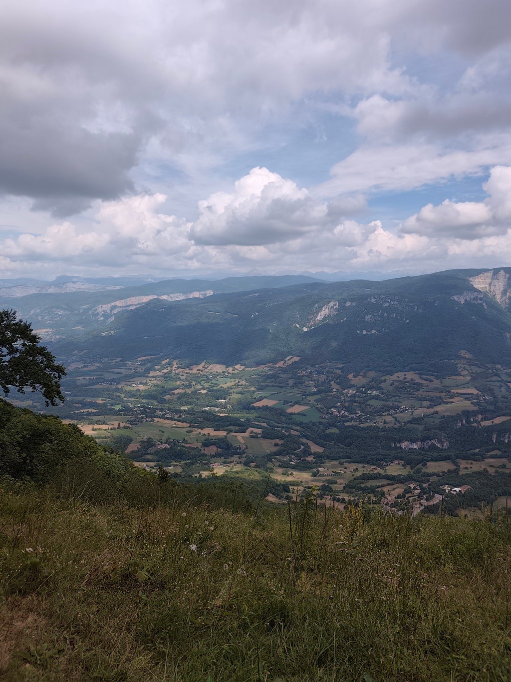
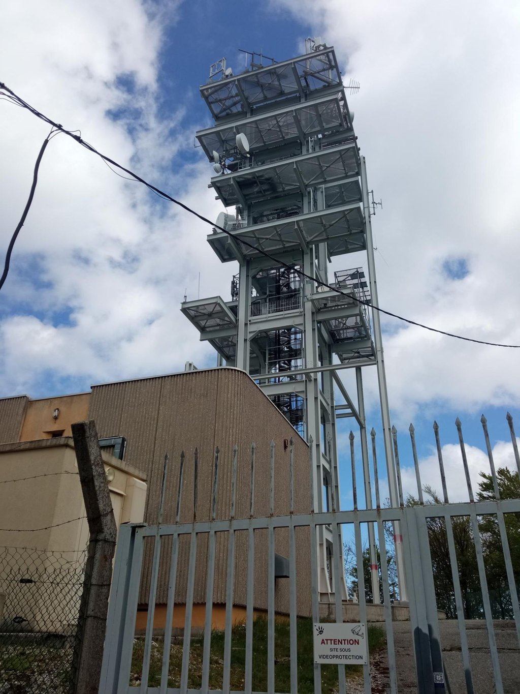
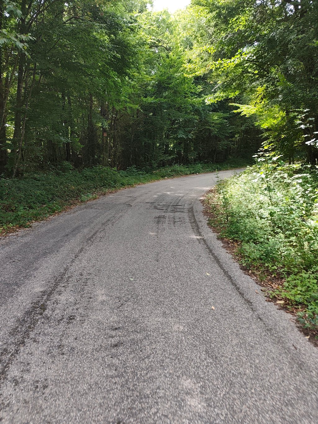
You need to be aware that this climb is only a challenge. Everything else is of no interest: the tarmac is of very poor quality and only gets worse throughout the climb (watch out for the big holes on the descent), there are virtually no views and the summit is completely uninteresting: no stopping area, no orientation table, just a white grid in the middle of the path. In short, I give it 3 stars because it's pretty rare in the region to be able to tackle this kind of slope on a road bike....read more
Photos (4)
Welcome! Please activate your account if you would like to share something. Look for the verification email in your inbox.
This is an automatic translation, the original language is: French.
Show original
You need to be aware that this climb is only a challenge. Everything else is of no interest: the tarmac is of very poor quality and only gets worse throughout the climb (watch out for the big holes on the descent), there are virtually no views and the summit is completely uninteresting: no stopping area, no orientation table, just a white grid in the middle of the path. In short, I give it 3 stars because it's pretty rare in the region to be able to tackle this kind of slope on a road bike.
Il faut être conscient que cette ascension se fait uniquement comme un défi. Tout le reste ne présente aucun intérêt : le bitume est de très mauvaise qualité et ne fait que s'empirer tout au long de la montée (attention aux gros trous à la descente), il n'y a pratiquement aucune vue et le sommet est complètement sans intérêt: ni aire en arrêt, ni table d'orientation, simplement une grille blanche au milieu du chemin. En bref, je mets 3 étoiles car c'est plutôt rare dans la région de pouvoir affronter de genre de pentes en vélo de route.
This is an automatic translation, the original language is: French.
Show original
A very demanding climb with steep gradients and a road in very average condition, but doable by road bike.
Access authorised up to the top of the climb, at the relay station.
Ascension très exigeante avec des pourcentages sévère et une route en état très moyen mais faisable en vélo de route.
Accès autorisé jusqu'en haut de la montée, au relais
This is an automatic translation, the original language is: French.
Show original
For what it's given it's perfect
On the other hand, you have to like the heat, as it's not at all rolling (even annoying on the way down) and it's very sunny.
Pour ce l'a donner c'est parfait
Par contre il faut aimer la chaleur car pas roulant du tout(même embêtant à la descente) et plein soleil
Share your knowledge. What was the road condition during your ascent?
Traffic
100% 0% 0%
Based on 4 votes
Your experience counts. How much traffic did you encounter during the climb?
Frequently Asked Questions
Relais Télécom de Musan is a challenging ascent. For this type of climbing, we recommend mountain gearing, specifically a compact system. This means a small front chainring of 34 teeth, combined with a rear cassette where, depending on your level, strength, and experience, you choose a sprocket with 30, 32, or even 34 teeth. Remember that a smooth cadence is always more efficient!
Relais Télécom de Musan is a first-category climb: long and tough. Do not underestimate this climb. Many famous Tour de France cols fall into this category. Prepare for a long, challenging ride. Only well-trained riders will reach the top smoothly. Make sure you have a road bike with climbing gears and enough training; otherwise, it will be a struggle.
Relais Télécom de Musan is 3.8 mi long.
The average gradient of Relais Télécom de Musan is 9.7%.
Relais Télécom de Musan has a steepest segment with an average gradient of 17%.
The summit of Relais Télécom de Musan is at 3937 ft.
At a slow pace of 5 mph, it takes about 00:46:09 to climb Relais Télécom de Musan. At 7 mph the time is 00:32:40, and at 9 mph 00:25:28. For the fastest cyclists, 00:19:08 is an achievable time.
Relais Télécom de Musan is located in the region Drôme in France.