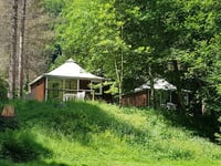
View on map
© MapLibre | OpenStreetMap contributors
1%
2%
4%
6%
8%
10%
12%
15%
20%

Refugio del Fornet from Esterri d'Aneu

4.0
1 review/story | Elevation profile | 1 photo
Tips nearby
Refugio del Fornet from Esterri d'Aneu
transparant thumb
transparant thumb
transparant thumb
transparant thumb
transparant thumb
transparant thumb
transparant thumb
Your achievable time
Calculating based on your best performances...
Relaxed
Maximum
W/kg
W/kg
W/kg
Analyze your climbing performance
Detailed insight into your climbing performance & automatically check off climbs
Based on your best performances.
Your best attempt:
Number of attempts:
Elevation profile Refugio del Fornet from Esterri d'Aneu

Statistics

Difficulty points 223
Length 10 mi
Average gradient 2.9%
Steepest segment 9.2%
Total ascent 1549 ft

Short recap

Beautiful scenery
2 hairpin turns
#75 longest climb of Catalonia
Feedback about this climb?
Show climbs nearby Export to GPS device

Refugio del Fornet from Esterri d'Aneu is a climb in the region Spanish Pyrenees. It is 10 mi long and bridges 1549 ft of vertical ascent with an average gradient of 2.9%, resulting in a difficulty score of 223. The top of the ascent is located at 4498 ft above sea level. Climbfinder users shared 1 review/story of this climb and uploaded 1 photo.

Road names: C-147, Carretera d'Isil & C-147

4.0 by aqcycling
This is an automatic translation, the original language is: Dutch.
An easy climb that climbs gently along a stream as you pass a few sleepy hamlets. If you want a real challenge: from the refugio, the road continues unpaved to emerge all the way up Pla de Beret. The road is passable, although I wouldn't want to try it on a road bike. But on some thicker tyres it is fine. Do expect the occasional 4x4 on the narrow road. Because you ride on the south side of the stream, the unpaved section is largely shaded. Eventually you slowly drive out of the forest a... read more

Photos (1)

Refugio del Fornet from Esterri d'Aneu
transparant thumb
transparant thumb
transparant thumb
transparant thumb
transparant thumb

Your uploads (max 4)

Welcome! Please activate your account if you would like to share something. Look for the verification email in your inbox.

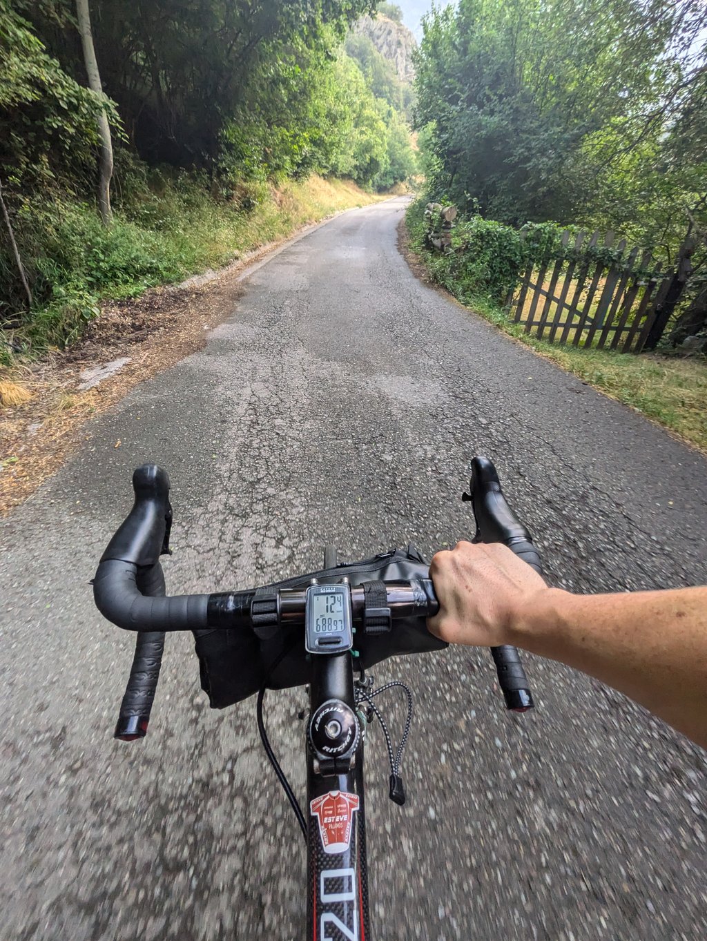
If you want to upload your photos, you need to create an account. It only takes 1 minute and it's completely free.

  • Receive free climbfinder goodies for your reviews & photos.
  • Create a bucket list and check off conquered climbs.
  • Add missing climbs.
Continue with GoogleContinue with Google Continue with FacebookContinue with Facebook Continue with AppleContinue with Apple Sign up with email
By signing up you agree to our terms of service and confirm that you have read our privacy & content policy.

Reviews (1)

5.0
4.0
3.0
2.0
1.0
aqcycling
1 y 4.0
This is an automatic translation, the original language is: Dutch. Show original

An easy climb that climbs gently along a stream as you pass a few sleepy hamlets. If you want a real challenge: from the refugio, the road continues unpaved to emerge all the way up Pla de Beret. The road is passable, although I wouldn't want to try it on a road bike. But on some thicker tyres it is fine. Do expect the occasional 4x4 on the narrow road. Because you ride on the south side of the stream, the unpaved section is largely shaded.
Eventually you slowly drive out of the forest and the valley opens up with beautiful views until you emerge at the northernmost car park of Pla de Beret and you are back on tarmac.

Een makkelijke klim die rustig langs een riviertje klimt terwijl je een paar slaperige gehuchtjes passeert. Als je een echt uitdaging wilt: vanaf de refugio gaat de weg onverhard door om helemaal op Pla de Beret uit te komen. De weg is goed te berijden, hoewel ik het niet op een racefiets zou willen proberen. Maar op wat dikkere banden is het prima te doen. Verwacht wel een enkele 4x4 op de smalle weg. Omdat je aan de zuidkant van de beek rijdt, ligt het onverharde deel voor een groot deel in de schaduw.
Uiteindelijk rij je langzaam het bos uit en opent het dal zich met mooi vergezichten totdat je op de noordelijkste parkeerplaats van Pla de Beret uitkomt en je weer op het asfalt zit.

Dashboard

Climbing times

5 mph 02:00:16
7 mph 01:25:09
9 mph 01:06:21
12 mph 00:49:51

Road surface condition

0% 0% 0%
Based on 0 votes
Share your knowledge. What was the road condition during your ascent?

Traffic

0% 0% 0%
Based on 0 votes
Your experience counts. How much traffic did you encounter during the climb?

Frequently Asked Questions

You don't need special gearing for Refugio del Fornet from Esterri d'Aneu. The slope isn't long or steep enough to require much shifting down. You can conquer this climb on power alone. However, a compact gearing system with a smallest front chainring of 34 and largest rear sprocket of 28 or 30 is always nice if you enjoy cycling uphill. This helps maintain a smooth cadence.

Refugio del Fornet from Esterri d'Aneu is a 3rd-category climb. Almost anyone can handle this climb, as long as you have a bike with climbing gears. If you have little training, you will probably need to shift down significantly. For experienced riders, Refugio del Fornet from Esterri d'Aneu is not a problem.

Refugio del Fornet from Esterri d'Aneu is 10 mi long.

The average gradient of Refugio del Fornet from Esterri d'Aneu is 2.9%.

Refugio del Fornet from Esterri d'Aneu has a steepest segment with an average gradient of 9.2%.

The summit of Refugio del Fornet from Esterri d'Aneu is at 4498 ft.

At a slow pace of 5 mph, it takes about 02:00:16 to climb Refugio del Fornet from Esterri d'Aneu. At 7 mph the time is 01:25:09, and at 9 mph 01:06:21. For the fastest cyclists, 00:49:51 is an achievable time.

Refugio del Fornet from Esterri d'Aneu is located in the region Catalonia in Spain.

This page is better in the app

Climbfinder app
Climbfinder
(Free)
Open