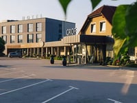
Prelaz Jezerski Vrh / Seebergsattel from Tupaliče is a climb in the region Slovenia. It is 16.8 mi long and bridges 2510 ft of vertical ascent with an average gradient of 2.8%, resulting in a difficulty score of 382. The top of the ascent is located at 3993 ft above sea level. Climbfinder users shared 3 reviews of this climb and uploaded 5 photos.
Road names: Tupaliče, 210, Potoče & Prelaz Jezerski Vrh
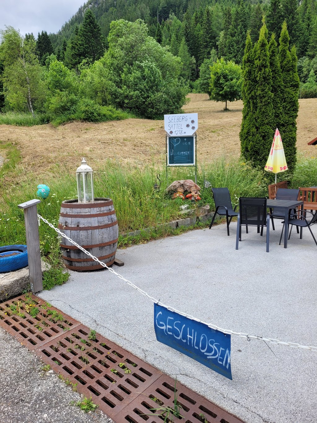
3.0 by fakirsesselThis is an automatic translation, the original language is: German.A beautiful climb that is less spectacular in the western sections. Even at the top, the gradient is quite moderate at seven per cent; in places a beautiful view of the Grintovec. Road in good condition, very wooded. No breathtaking views at the top of the pass. Café is only open Thursdays to Sundays in the 2025 season. I went up on a Monday morning. There was very little traffic.... read more
Welcome! Please activate your account if you would like to share something. Look for the verification email in your inbox.
If you want to upload your photos, you need to create an account. It only takes 1 minute and it's completely free.
A beautiful climb that is less spectacular in the western sections. Even at the top, the gradient is quite moderate at seven per cent; in places a beautiful view of the Grintovec. Road in good condition, very wooded. No breathtaking views at the top of the pass. Café is only open Thursdays to Sundays in the 2025 season. I went up on a Monday morning. There was very little traffic.
Ein schöner, im weoiten Teilen wenig spektakulärer Aufstieg. Auch oben mit sieben Prozent recht moderat; teilweise ein schöner Blick auf den Grintovec. Straße im guten Zudtand, sehr waldreich. Oben am Pass kein atemberaubender Ausblick. Café hat jedenfalls in der Saison 2025 nur Donnerstags bis Sonntags offen. Bin an einem Montag vormittag hoch. Es gab nur wenig Verkehr.
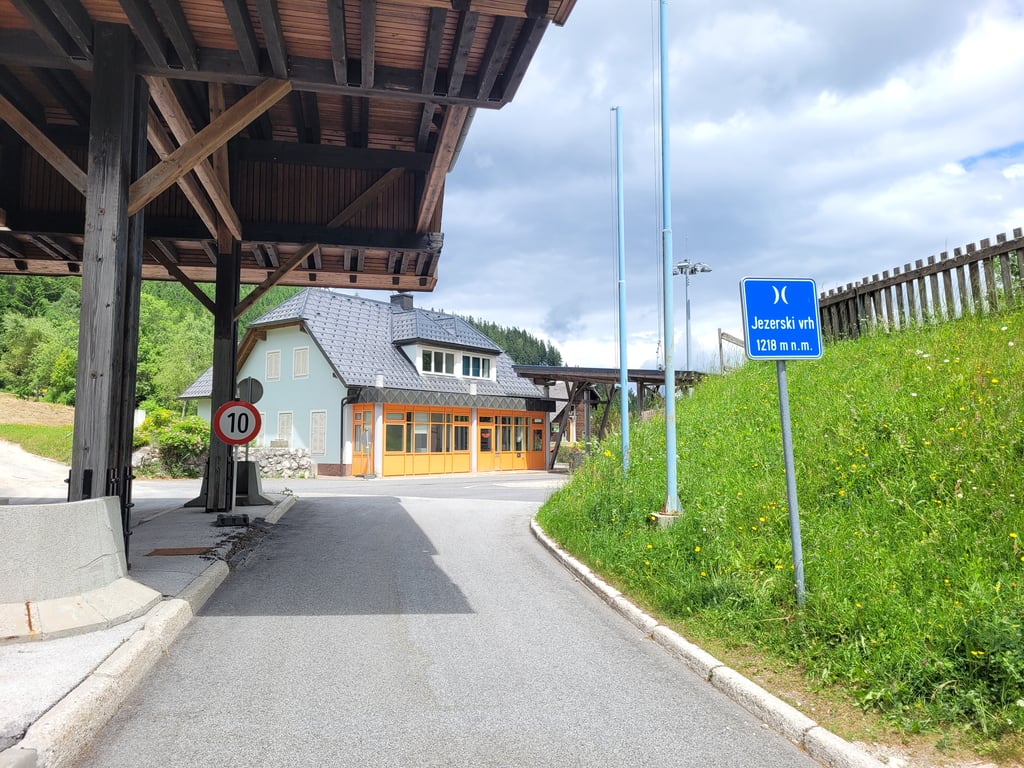
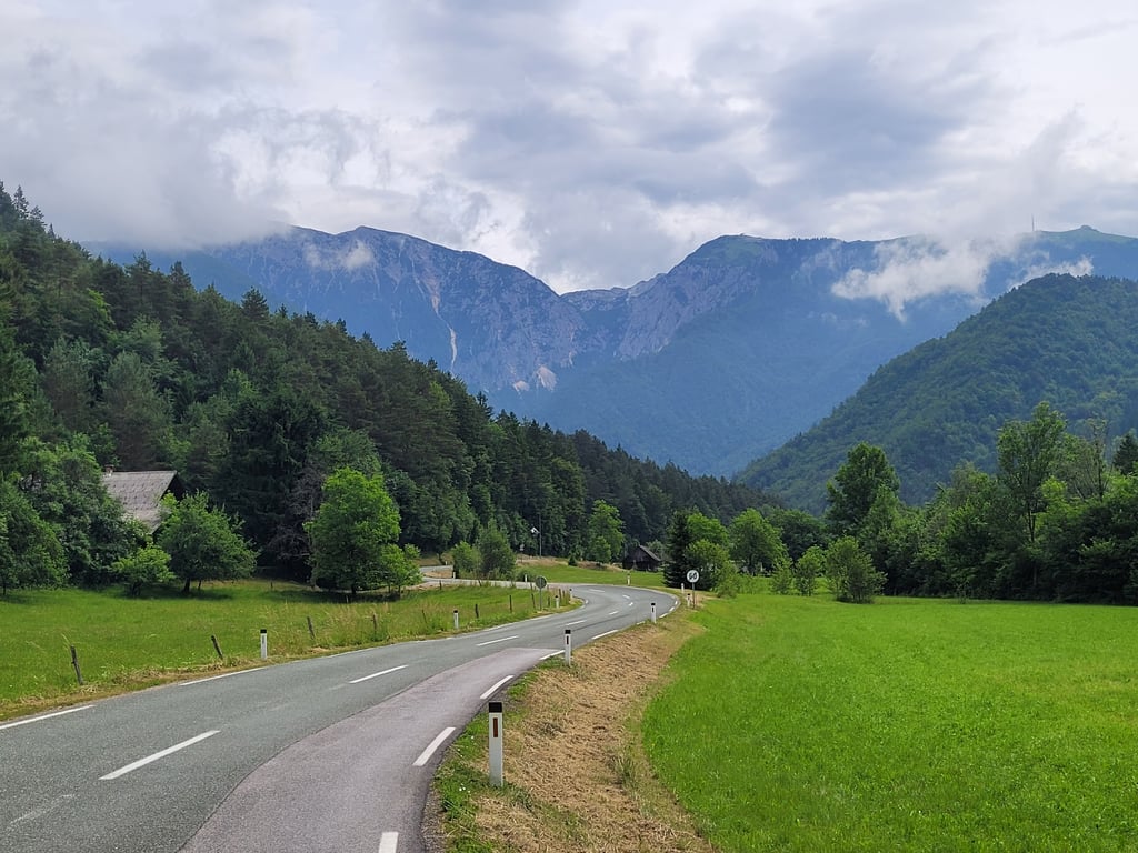
Nice, long climb, mostly gradually up along the little river Kokra. You follow it for about 20 km up the fairly narrow valley. So don't expect beautiful views here, but do expect good road surface. This part is easy to do on the outside. At Zgornje Jezersko the valley widens and you get a view of the surrounding high(r) mountains through a beautiful panorama. After a church (St. Andrej) you enter the forest and the road gets steeper (with hairpin bends) but nowhere really tough. After just under 5 km you will reach the 'saddle' at the border at the top. (N.B. no col, so no views here either.) The main road then dives down towards Bad Eisenkappel.
Leuke, lange klim, grotendeels geleidelijk omhoog langs het riviertje de Kokra. Dat volg je zo'n 20 km lang door het vrij nauwe dal omhoog. Verwacht hier dus geen mooie vergezichten, wèl prima wegdek. Dit stuk is i.h.a. goed op het buitenblad te doen. Bij Zgornje Jezersko verbreedt het dal zich en krijg je zicht op de omringende hoge(re) bergen middels een prachtig panorama. Na een kerkje (St. Andrej) kom je in het bos te fietsen en wordt het steiler (met haarspeldbochten) maar nergens echt zwaar. Na een kleine 5 km ben je boven bij het 'zadel' aan de grens. (N.B. geen col, dus ook hier geen vergezichten.) De doorgaande weg duikt dan naar beneden richting Bad Eisenkappel.
It's a really long climb, but it's not steep.
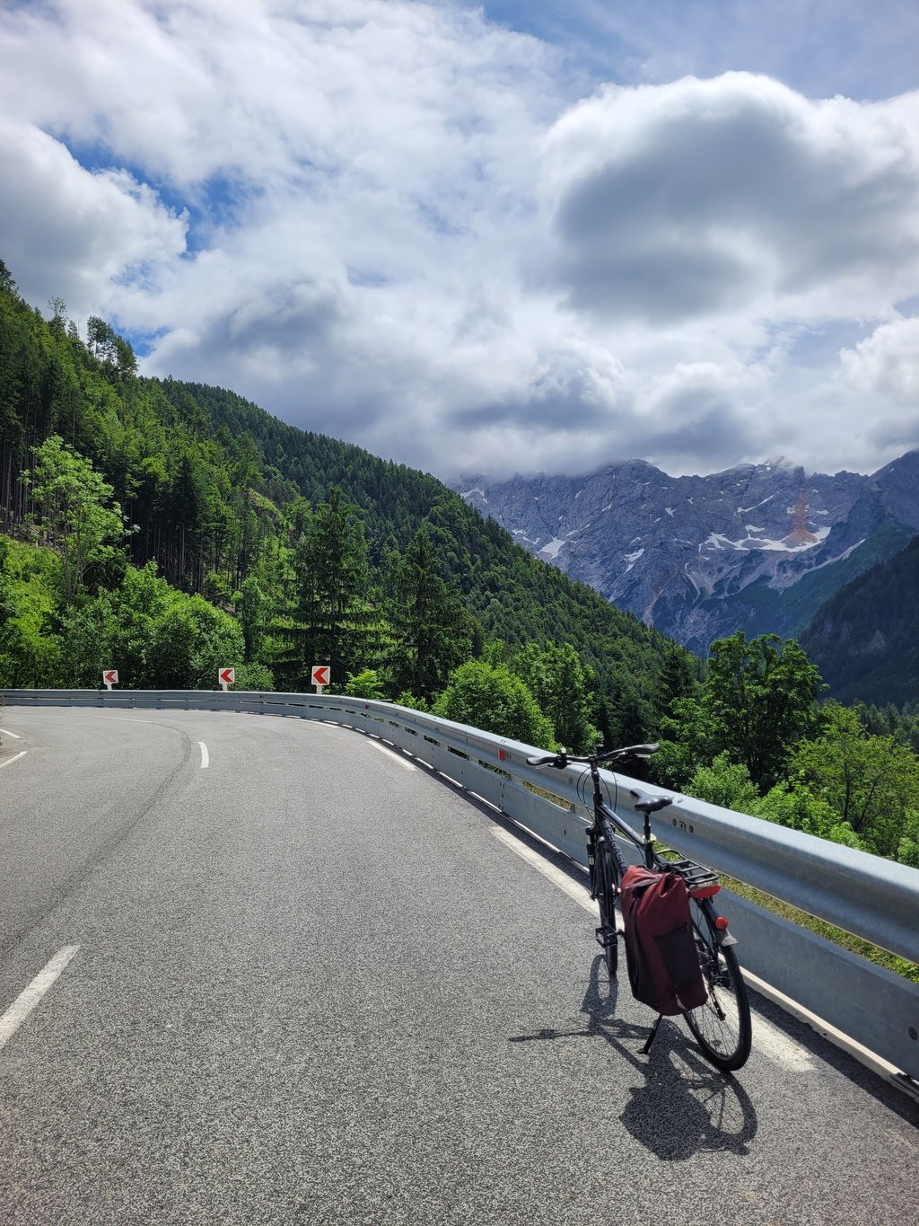
The views are beautiful, especially towards the top.
However, the road is very coarse and the vibration made our hands and feet numb.
The headwind on the descent was a bit annoying, but I guess we were just unlucky.
Still, worth the visit.
| 5 mph | 03:22:47 |
| 7 mph | 02:23:33 |
| 9 mph | 01:51:52 |
| 12 mph | 01:24:03 |
This page is better in the app