View on map
© MapLibre | OpenStreetMap contributors
1%
2%
4%
6%
8%
10%
12%
15%
20%

Preischeid from Dornauelsmuehle

4.3
3 reviews | Elevation profile | 2 photos
Tips nearby
Preischeid from Dornauelsmuehle
transparant thumb
transparant thumb
transparant thumb
transparant thumb
transparant thumb
transparant thumb
Your achievable time
Calculating based on your best performances...
Relaxed
Maximum
W/kg
W/kg
W/kg
Analyze your climbing performance
Detailed insight into your climbing performance & automatically check off climbs
Based on your best performances.
Your best attempt:
Number of attempts:
Elevation profile Preischeid from Dornauelsmuehle

Statistics

Difficulty points 173
Length 1.5 mi
Average gradient 8%
Steepest segment 13.2%
Total ascent 623 ft

Short recap

Hidden gem
3 hairpin turns
#93 toughest climb of Eifel
#100 average steepest climb of Rhineland-Palatinate
Feedback about this climb?
Show climbs nearby Export to GPS device

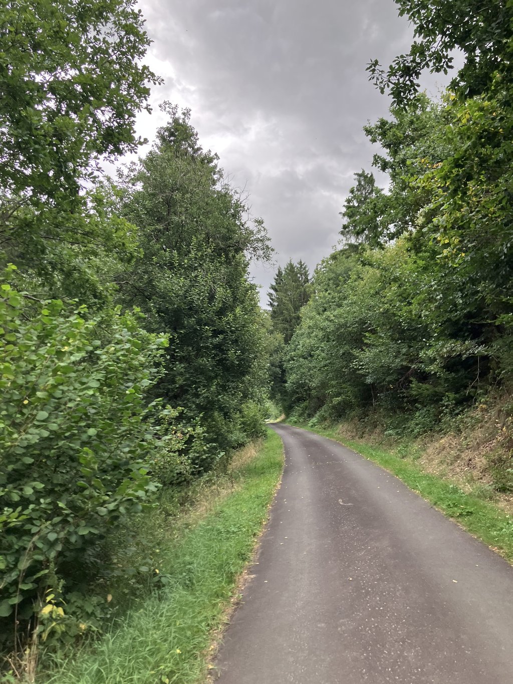
Preischeid from Dornauelsmuehle is a climb in the region Eifel. It is 1.5 mi long and bridges 623 ft of vertical ascent with an average gradient of 8%, resulting in a difficulty score of 173. The top of the ascent is located at 1486 ft above sea level. Climbfinder users shared 3 reviews of this climb and uploaded 2 photos.

Road name: Hauptstraße

4.0 by _superver
This is an automatic translation, the original language is: Dutch.
Hidden gem. Once descended and now climbed. The forest is false flat but oh so steep. Near the hamlet, you come out of the forest and it is really steep! No further traffic and excellent tarmac. Listening to nature :)... read more

Photos (2)

Preischeid from Dornauelsmuehle
transparant thumb
transparant thumb
transparant thumb
transparant thumb

Your uploads (max 4)

Welcome! Please activate your account if you would like to share something. Look for the verification email in your inbox.

If you want to upload your photos, you need to create an account. It only takes 1 minute and it's completely free.

  • Receive free climbfinder goodies for your reviews & photos.
  • Create a bucket list and check off conquered climbs.
  • Add missing climbs.
Continue with GoogleContinue with Google Continue with FacebookContinue with Facebook Continue with AppleContinue with Apple Sign up with email
By signing up you agree to our terms of service and confirm that you have read our privacy & content policy.

Reviews (3)

5.0
4.0
3.0
2.0
1.0
_superver
9 Mo 4.0
This is an automatic translation, the original language is: Dutch. Show original

Hidden gem. Once descended and now climbed. The forest is false flat but oh so steep. Near the hamlet, you come out of the forest and it is really steep!

No further traffic and excellent tarmac. Listening to nature :)

Verborgen juweel. Ooit al eens afgedaald en nu geklommen. Het bos is vals plat maar oh zo steil. Vlakbij het gehuchtje kom je het bos uit en dat is écht steil!

Geen verkeer verder en prima asfalt. Lekker luisteren naar de natuur :)

Dashboard
mcompaan
3 y 5.0
This is an automatic translation, the original language is: Dutch. Show original

Indeed first via main road along the Our. Then over loop/bicycle bridge and then you come to (car-free) road. Nice climb, varied nature.

Inderdaad eerst via hoofdweg langs de Our. Daarna over loop/fietsbrug en dan kom je op (autovrije) weg. Mooie klim, gevarieerd natuur.

Preischeid from Dornauelsmuehle
Dashboard
Ullrich97
3 y 4.0
This is an automatic translation, the original language is: Dutch. Show original

Indeed a hidden gem. Hard to find, you have to cross the Our from the main road along the Our by an old stone bridge, you can cycle, and then immediately on the other side, in Germany, the climb begins. A steep start with nice hairpins, a brisk middle section with a hefty bouncer, and a false flat last section when you're out of the woods and see what you've suddenly bridged.

Inderdaad een verborgen juweel. Moeilijk te vinden, je moet vanaf de hoofdweg langs de Our bij een oude stenen brug de Our oversteken, kan fietsend, en dan begint direct aan de overkant, in Duitsland, de klim. Een steil begin met mooie haarspelden, een flink pittig middenstuk met een forse uitsmijter, en een vals plat laatste stuk als je uit de bossen bent en ziet wat je ineens hebt overbrugd.

Dashboard

Climbing times

5 mph 00:17:47
7 mph 00:12:35
9 mph 00:09:48
12 mph 00:07:22

Road surface condition

100% 0% 0%
Based on 2 votes
Share your knowledge. What was the road condition during your ascent?

Traffic

100% 0% 0%
Based on 2 votes
Your experience counts. How much traffic did you encounter during the climb?

Frequently Asked Questions

Preischeid from Dornauelsmuehle is a challenging ascent. For this type of climbing, we recommend mountain gearing, specifically a compact system. This means a small front chainring of 34 teeth, combined with a rear cassette where, depending on your level, strength, and experience, you choose a sprocket with 30, 32, or even 34 teeth. Remember that a smooth cadence is always more efficient!

Preischeid from Dornauelsmuehle is a 3rd-category climb. Almost anyone can handle this climb, as long as you have a bike with climbing gears. If you have little training, you will probably need to shift down significantly. For experienced riders, Preischeid from Dornauelsmuehle is not a problem.

Preischeid from Dornauelsmuehle is 1.5 mi long.

The average gradient of Preischeid from Dornauelsmuehle is 8%.

Preischeid from Dornauelsmuehle has a steepest segment with an average gradient of 13.2%.

The summit of Preischeid from Dornauelsmuehle is at 1486 ft.

At a slow pace of 5 mph, it takes about 00:17:47 to climb Preischeid from Dornauelsmuehle. At 7 mph the time is 00:12:35, and at 9 mph 00:09:48. For the fastest cyclists, 00:07:22 is an achievable time.

Preischeid from Dornauelsmuehle is located in the region Rhineland-Palatinate in Germany.

This page is better in the app

Climbfinder app
Climbfinder
(Free)
Open