Porliod from Villair is a climb in the region Aosta Valley. It is 14.8 mi long and bridges 4505 ft of vertical ascent with an average gradient of 5.8%, resulting in a difficulty score of 993. The top of the ascent is located at 6204 ft above sea level. Climbfinder users shared 1 review/story of this climb and uploaded 9 photos.
This is an automatic translation, the original language is: Dutch.
Perfectly combined with the nice climb to Blavy (see CF) with which I started the cycling day (September 2025).
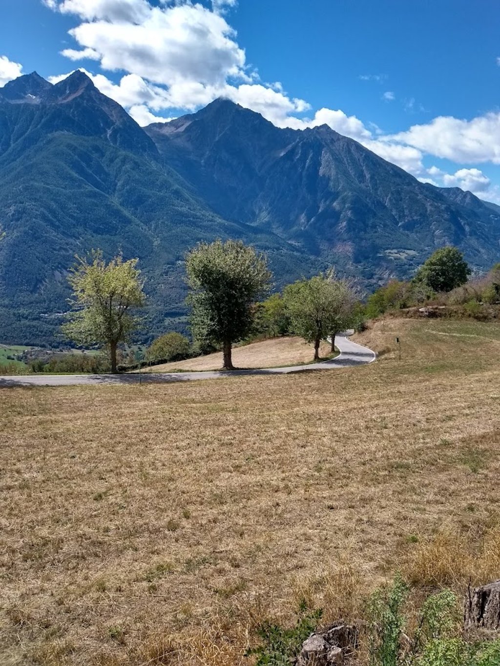
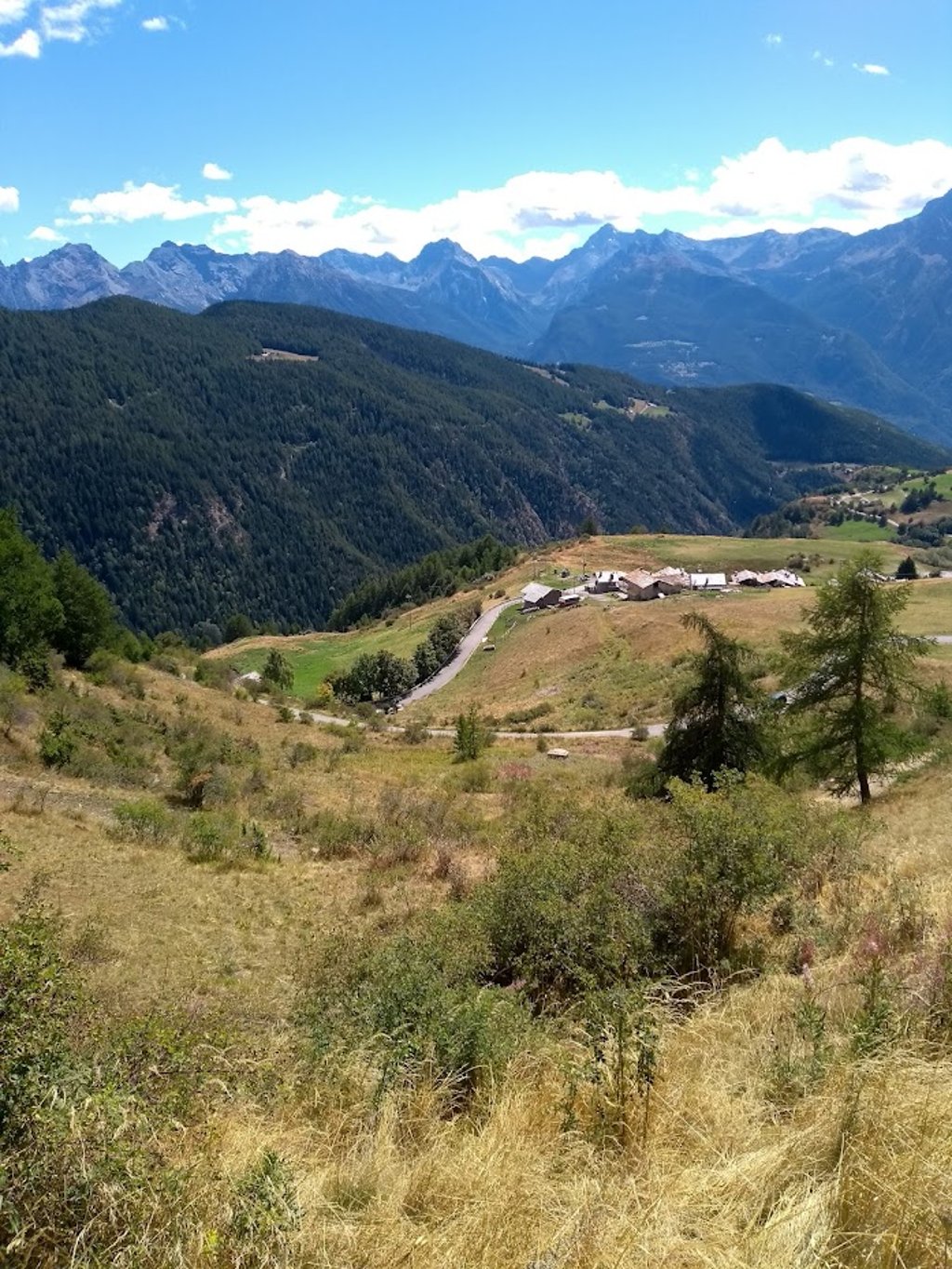
Afterwards descended to Villair to end up on the secondary road (SR37) for a second ascent on a nice winding route through small villages up the north flank of the wide Aosta Valley back up. As you gain altitude, the snow-capped peaks of the Gran Paradiso National Park squeak across the valley.
Gradually, habitation and hence traffic becomes scarcer. The road narrows, passes through ...read more
Photos (9)
Welcome! Please activate your account if you would like to share something. Look for the verification email in your inbox.
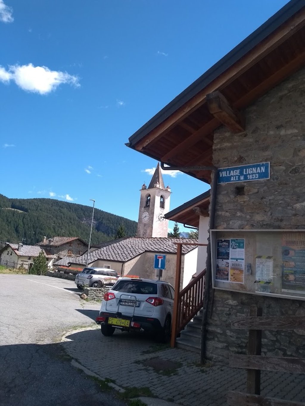
This is an automatic translation, the original language is: Dutch.
Show original
Perfectly combined with the nice climb to Blavy (see CF) with which I started the cycling day (September 2025).
Afterwards descended to Villair to end up on the secondary road (SR37) for a second ascent on a nice winding route through small villages up the north flank of the wide Aosta Valley back up. As you gain altitude, the snow-capped peaks of the Gran Paradiso National Park squeak across the valley.
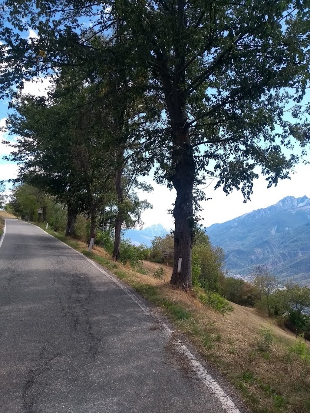
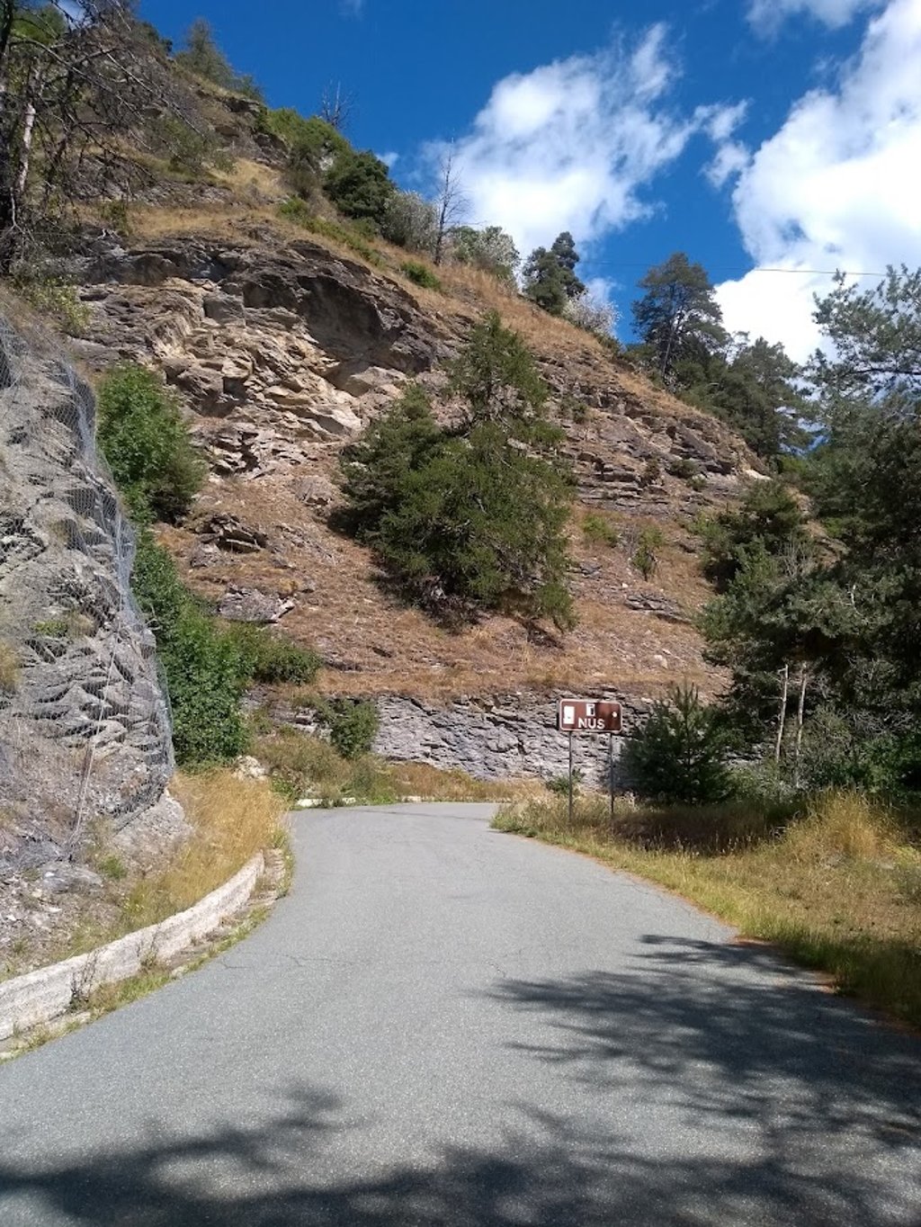
Gradually, habitation and hence traffic becomes scarcer. The road narrows, passes through alpine meadows, regularly dives into the forest, there are hairpin turns and the occasional descent to cycle across a river gorge.
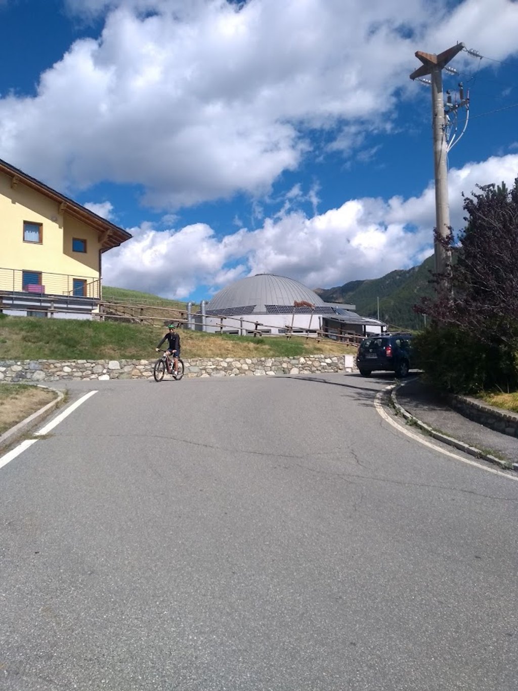
In Lignal-St.Barthélemy (1633m), where there is also an Astronomical Observatory, you join the shorter but steeper route that left from Nus.
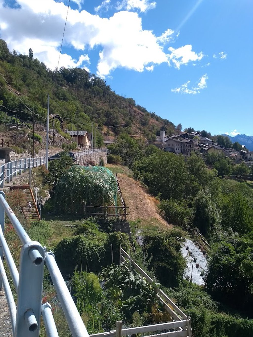
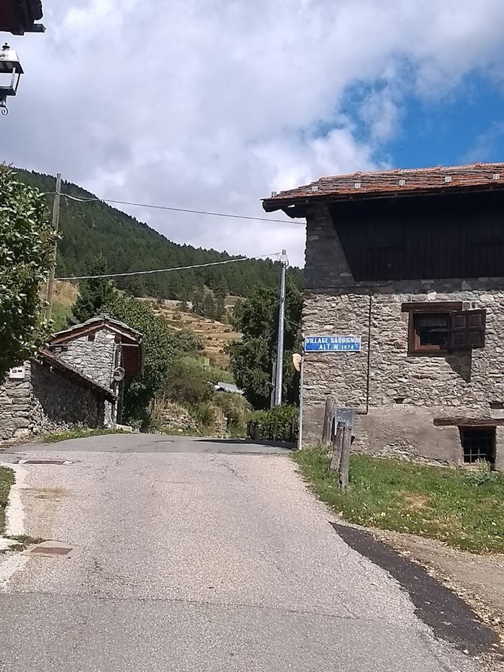
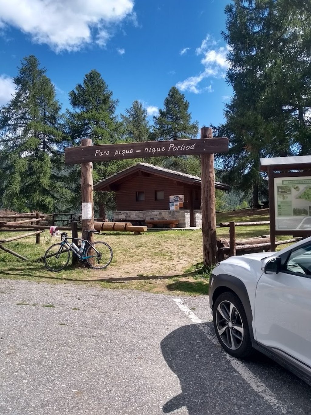
The last still tough joint kilometres go through small villages ( Saquignod 1675m / Venoz 1750m) to end somewhat sobering at the highest point (1891m) at a car park with rest area / playground and spring. The road continues downhill for a while until last village of Porliod.
There is a refuge (food&drink) a short summit distance away.
Rather long, and therefore not to be underestimated, irregular climbing route without extreme percentages but with many hairpin turns and panoramic views, on the northern flank of the Aosta valley.
Road surface is fine and especially in the second part there is hardly any traffic!
Perfect te combineren met de mooie klim naar Blavy (zie CF) waarmee ik de fietsdag startte (september 2025).
Nadien afgedaald naar Villair om op de secundaire weg (SR37) te belanden voor een tweede beklimming op een mooie kronkelende route door kleine dorpjes de noord flank van het brede Aostadal terug naar omhoog. Naarmate je hoogte wint komen ook de besneeuwde toppen van het Nationaal Park Gran Paradiso piepen aan de overkant van de vallei.
Geleidelijk wordt de bewoning en dus ook het verkeer schaarser. De weg versmalt, gaat door alpenweiden, duikt regelmatig het bos in, er zijn haarspeldbochten en af en toe een afdaling om een rivierkloof over te fietsen.
In Lignal-St.Barthélemy (1633m), waar ook een Astronomisch Observatorium staat, vervoeg je de kortere doch steilere route die vertrok uit Nus.
De laatste nog pittige gezamenlijke kilometers gaan nog door kleine dorpjes ( Saquignod 1675m / Venoz 1750m) om wat ontnuchterend te eindigen op het hoogste punt (1891m) aan een parking met rustplaats / speeltuin en bron. De weg loopt nog even bergaf door tot laatste dorp Porliod.
Er is een refuge (eten&drinken) op korte top afstand.
Vrij lange, en daarom niet te onderschatten, onregelmatige klimroute zonder extreme percentages maar met vele haarspeldbochten en panoramische vergezichten, op de noordflank van de Aosta vallei.
Wegdek is prima en zeker in het tweede deel is er amper verkeer!
You don't need special gearing for Porliod from Villair. The slope isn't long or steep enough to require much shifting down. You can conquer this climb on power alone. However, a compact gearing system with a smallest front chainring of 34 and largest rear sprocket of 28 or 30 is always nice if you enjoy cycling uphill. This helps maintain a smooth cadence.
Porliod from Villair belongs to the Hors Catégorie, the top category. These are legendary and very tough climbs. A solid cycling condition, experience, and a good climbing gear ratio are essential to maintain a smooth cadence and complete the climb comfortably.
Porliod from Villair is 14.8 mi long.
The average gradient of Porliod from Villair is 5.8%.
Porliod from Villair has a steepest segment with an average gradient of 10.8%.
The summit of Porliod from Villair is at 6204 ft.
At a slow pace of 5 mph, it takes about 02:58:25 to climb Porliod from Villair. At 7 mph the time is 02:06:18, and at 9 mph 01:38:26. For the fastest cyclists, 01:13:57 is an achievable time.
Porliod from Villair is located in the region Aosta Valley in Italy.