View on map
© MapLibre | OpenStreetMap contributors
1%
2%
4%
6%
8%
10%
12%
15%
20%

Pont-de-Nant from Bex

5.0
1 review/story | Elevation profile | 4 photos
Tips nearby
Pont-de-Nant from Bex
transparant thumb
transparant thumb
transparant thumb
transparant thumb
Your achievable time
Calculating based on your best performances...
Relaxed
Maximum
W/kg
W/kg
W/kg
Analyze your climbing performance
Detailed insight into your climbing performance & automatically check off climbs
Based on your best performances.
Your best attempt:
Number of attempts:
Elevation profile Pont-de-Nant from Bex

Statistics

Difficulty points 754
Length 5.2 mi
Average gradient 9.1%
Steepest segment 14.5%
Total ascent 2516 ft

Short recap

4 hairpin turns
#23 toughest climb of Vaud
#30 most elevation gain of Vaud
#41 longest climb of Vaud
#26 average steepest climb of Vaud
Feedback about this climb?
Show climbs nearby Export to GPS device

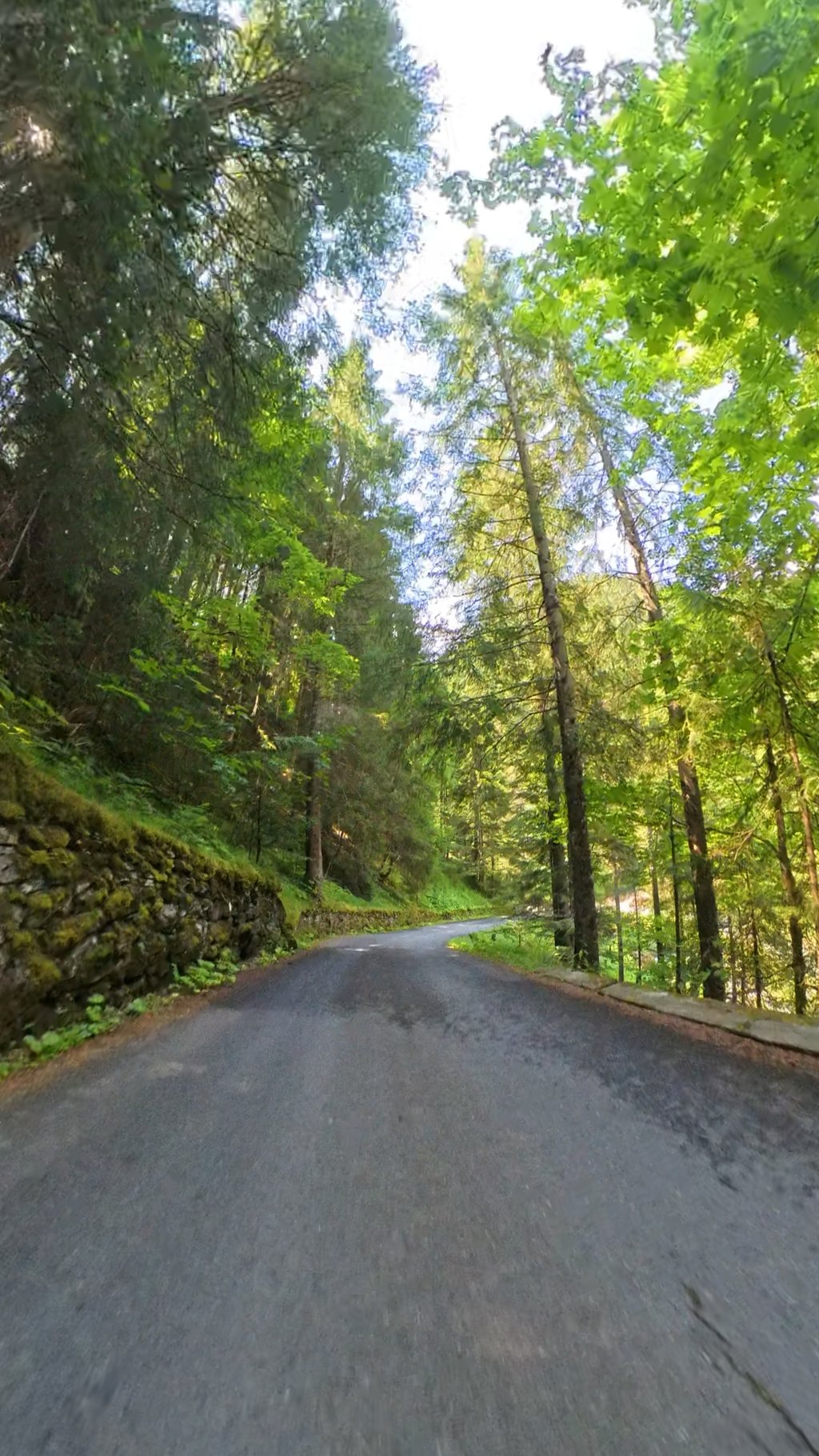
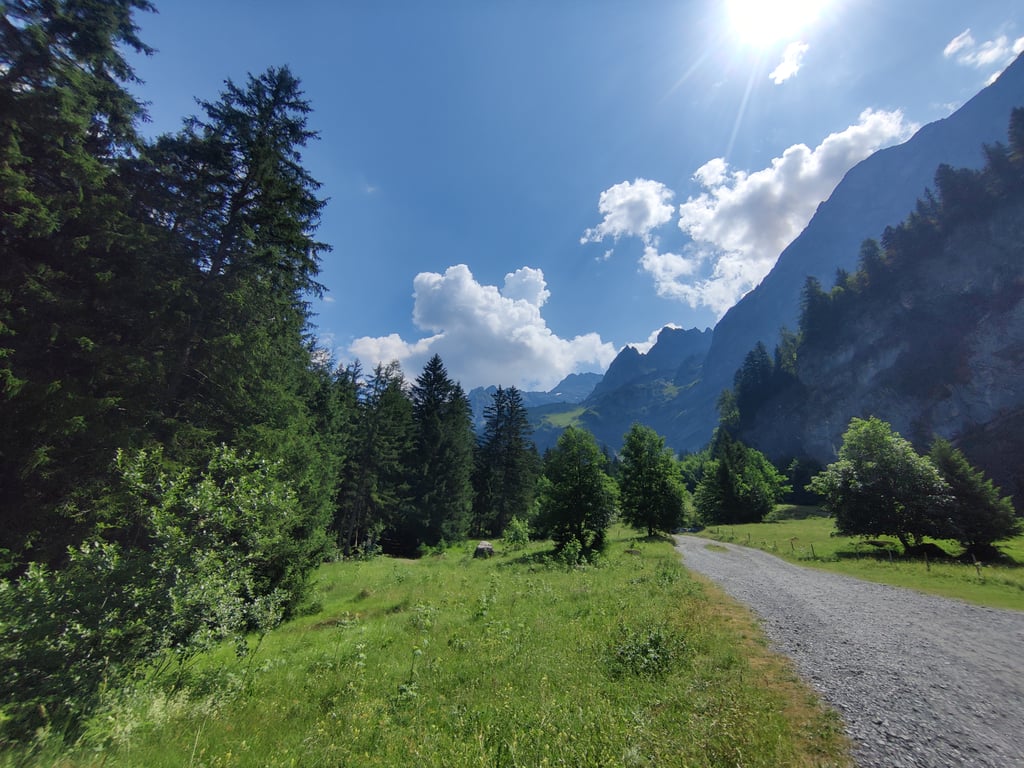
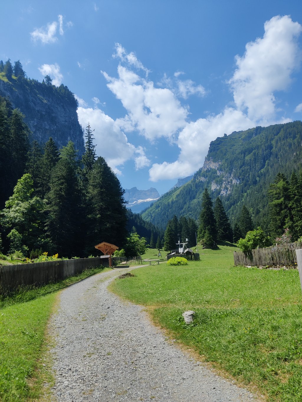
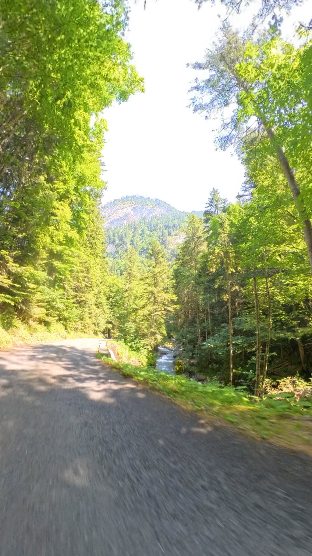
Pont-de-Nant from Bex is a climb in the region Vaud. It is 5.2 mi long and bridges 2516 ft of vertical ascent with an average gradient of 9.1%, resulting in a difficulty score of 754. The top of the ascent is located at 4108 ft above sea level. Climbfinder users shared 1 review/story of this climb and uploaded 4 photos.

Road names: Route des Plans & Route du Pont-de-Nant

5.0 by ebnch
This is an automatic translation, the original language is: French.
A climb through the forest, without too much traffic. The last section is on a very pretty narrow road along the river. From the village of Les Plans, it's easy to reach Gryon via a small road, if you wish to descend via another road or make another ascent (Col de la Croix, Alps des Chaux).... read more

Photos (4)

Pont-de-Nant from Bex
transparant thumb
transparant thumb

Your uploads (max 4)

Welcome! Please activate your account if you would like to share something. Look for the verification email in your inbox.

If you want to upload your photos, you need to create an account. It only takes 1 minute and it's completely free.

  • Receive free climbfinder goodies for your reviews & photos.
  • Create a bucket list and check off conquered climbs.
  • Add missing climbs.
Continue with GoogleContinue with Google Continue with FacebookContinue with Facebook Continue with AppleContinue with Apple Sign up with email
By signing up you agree to our terms of service and confirm that you have read our privacy & content policy.

Reviews (1)

5.0
4.0
3.0
2.0
1.0
ebnch
11 Mo 5.0 via the Climbfinder app
This is an automatic translation, the original language is: French. Show original

A climb through the forest, without too much traffic. The last section is on a very pretty narrow road along the river. From the village of Les Plans, it's easy to reach Gryon via a small road, if you wish to descend via another road or make another ascent (Col de la Croix, Alps des Chaux).

Montée dans la forêt, sans trop de circulations. Le dernier tronçon de fait sur une route étroite très jolie le long de la rivière. Depuis le village des Plans, on peut facilement rejoindre Gryon par une petite route, si l'on souhaite descendre par une autre route ou faire une autre ascension (col de la croix, alpes des Chaux)

Dashboard

Climbing times

5 mph 01:03:08
7 mph 00:44:42
9 mph 00:34:50
12 mph 00:26:10

Road surface condition

100% 0% 0%
Based on 1 vote
Share your knowledge. What was the road condition during your ascent?

Traffic

100% 0% 0%
Based on 1 vote
Your experience counts. How much traffic did you encounter during the climb?

Frequently Asked Questions

Pont-de-Nant from Bex is a challenging ascent. For this type of climbing, we recommend mountain gearing, specifically a compact system. This means a small front chainring of 34 teeth, combined with a rear cassette where, depending on your level, strength, and experience, you choose a sprocket with 30, 32, or even 34 teeth. Remember that a smooth cadence is always more efficient!

Pont-de-Nant from Bex is a first-category climb: long and tough. Do not underestimate this climb. Many famous Tour de France cols fall into this category. Prepare for a long, challenging ride. Only well-trained riders will reach the top smoothly. Make sure you have a road bike with climbing gears and enough training; otherwise, it will be a struggle.

Pont-de-Nant from Bex is 5.2 mi long.

The average gradient of Pont-de-Nant from Bex is 9.1%.

Pont-de-Nant from Bex has a steepest segment with an average gradient of 14.5%.

The summit of Pont-de-Nant from Bex is at 4108 ft.

At a slow pace of 5 mph, it takes about 01:03:08 to climb Pont-de-Nant from Bex. At 7 mph the time is 00:44:42, and at 9 mph 00:34:50. For the fastest cyclists, 00:26:10 is an achievable time.

Pont-de-Nant from Bex is located in the region Vaud in Switzerland.

This page is better in the app

Climbfinder app
Climbfinder
(Free)
Open