View on map
© MapLibre | OpenStreetMap contributors
1%
2%
4%
6%
8%
10%
12%
15%
20%

Pëttenerbësch from Pettingen

3.0
1 review/story | Elevation profile | 5 photos
Tips nearby
Pëttenerbësch from Pettingen
transparant thumb
transparant thumb
transparant thumb
Your achievable time
Calculating based on your best performances...
Relaxed
Maximum
W/kg
W/kg
W/kg
Analyze your climbing performance
Detailed insight into your climbing performance & automatically check off climbs
Based on your best performances.
Your best attempt:
Number of attempts:
Elevation profile Pëttenerbësch from Pettingen

Statistics

Difficulty points 31
Length 0.9 mi
Average gradient 4.4%
Steepest segment 6%
Total ascent 220 ft
Feedback about this climb?
Show climbs nearby Export to GPS device

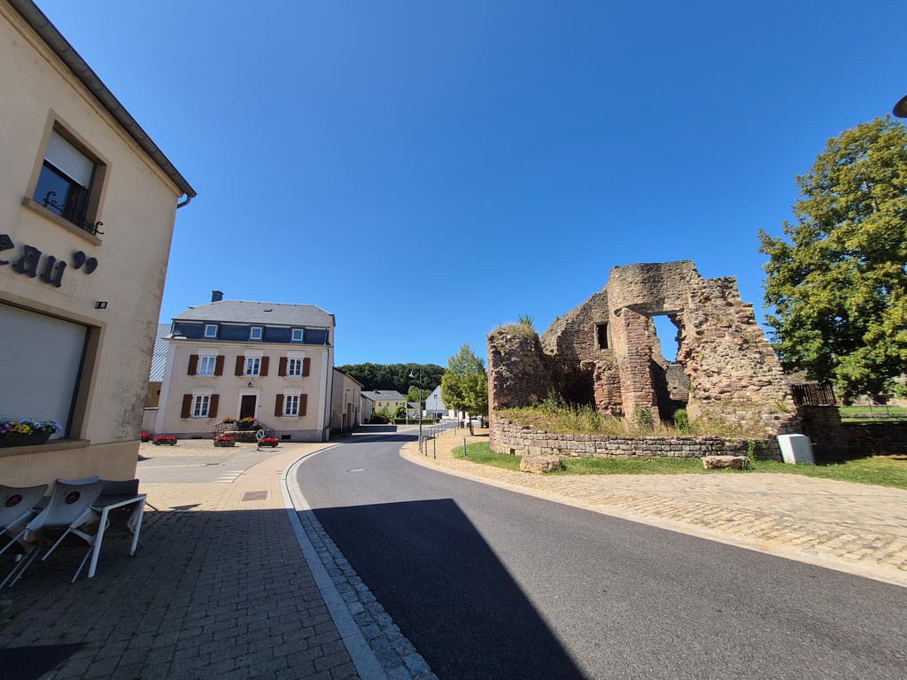
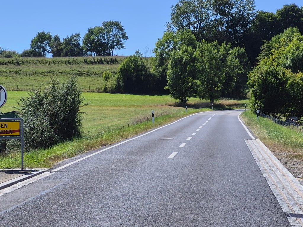
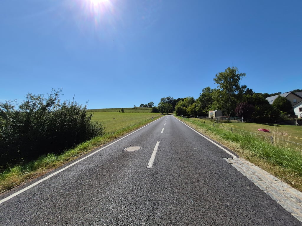
Pëttenerbësch from Pettingen is a climb in the region Valleys of the Mamer and Eisch / Valley of the Seven Castles. It is 0.9 mi long and bridges 220 ft of vertical ascent with an average gradient of 4.4%, resulting in a difficulty score of 31. The top of the ascent is located at 938 ft above sea level. Climbfinder users shared 1 review/story of this climb and uploaded 5 photos.

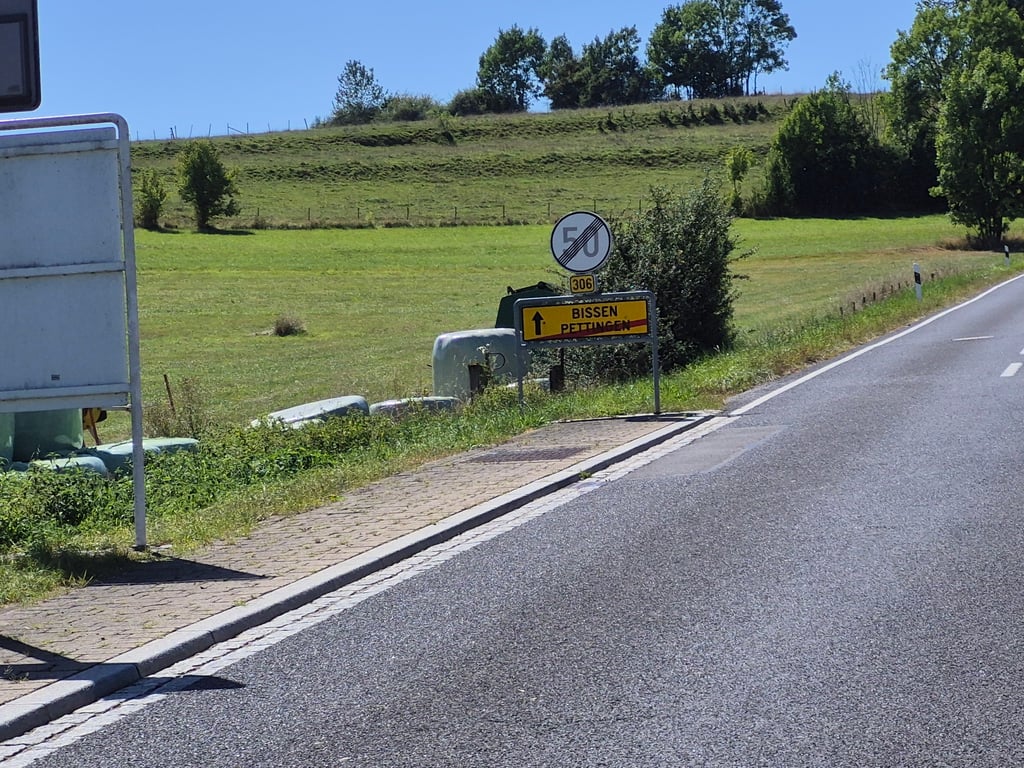
Road name: Rue du Château (CR 306)
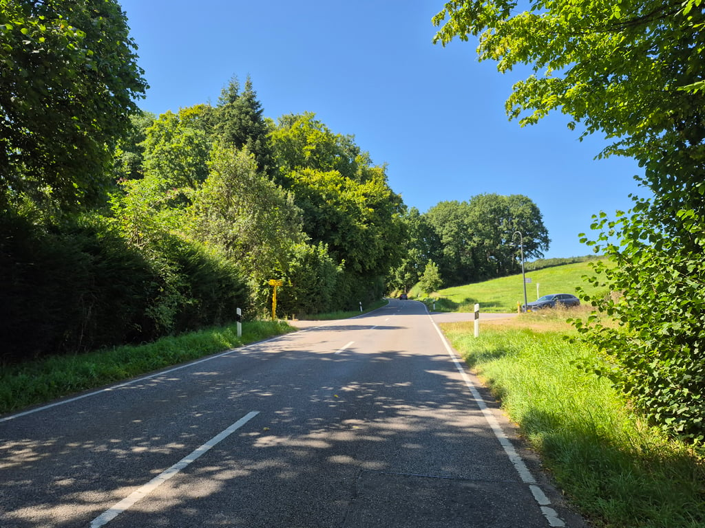
3.0 by elbowboy
This is an automatic translation, the original language is: German.
Harmonious ascent on a wide, well-paved road. Lots of traffic though, not an exceptional view. Can be ridden, but not a highlight. However, the ruins of the moated castle at the bottom are very beautiful... read more

Photos (5)

Pëttenerbësch from Pettingen
transparant thumb

Your uploads (max 4)

Welcome! Please activate your account if you would like to share something. Look for the verification email in your inbox.

If you want to upload your photos, you need to create an account. It only takes 1 minute and it's completely free.

  • Receive free climbfinder goodies for your reviews & photos.
  • Create a bucket list and check off conquered climbs.
  • Add missing climbs.
Continue with GoogleContinue with Google Continue with FacebookContinue with Facebook Continue with AppleContinue with Apple Sign up with email
By signing up you agree to our terms of service and confirm that you have read our privacy & content policy.

Reviews (1)

5.0
4.0
3.0
2.0
1.0
elbowboy
9 Mo 3.0 via the Climbfinder app
This is an automatic translation, the original language is: German. Show original

Harmonious ascent on a wide, well-paved road. Lots of traffic though, not an exceptional view. Can be ridden, but not a highlight. However, the ruins of the moated castle at the bottom are very beautiful

Harmonischer Anstieg auf einer breiten gut asphaltierten Straße. Allerdings viel Verkehr, kein außergewöhnlicher Blick. Kann man mal fahren, aber kein Highlight. Die Ruine der Wasserburg unten ist allerdings sehr schön

Pëttenerbësch from Pettingen
Dashboard

Climbing times

5 mph 00:11:24
7 mph 00:08:04
9 mph 00:06:17
12 mph 00:04:43

Road surface condition

0% 0% 0%
Based on 0 votes
Share your knowledge. What was the road condition during your ascent?

Traffic

0% 0% 0%
Based on 0 votes
Your experience counts. How much traffic did you encounter during the climb?

Frequently Asked Questions

You don't need special gearing for Pëttenerbësch from Pettingen. The slope isn't long or steep enough to require much shifting down. You can conquer this climb on power alone. However, a compact gearing system with a smallest front chainring of 34 and largest rear sprocket of 28 or 30 is always nice if you enjoy cycling uphill. This helps maintain a smooth cadence.

Pëttenerbësch from Pettingen falls into the 5th category. With good fitness, you can ride it up with speed and power. If you have less training, shift down and climb smoothly.

Pëttenerbësch from Pettingen is 0.9 mi long.

The average gradient of Pëttenerbësch from Pettingen is 4.4%.

Pëttenerbësch from Pettingen has a steepest segment with an average gradient of 6%.

The summit of Pëttenerbësch from Pettingen is at 938 ft.

At a slow pace of 5 mph, it takes about 00:11:24 to climb Pëttenerbësch from Pettingen. At 7 mph the time is 00:08:04, and at 9 mph 00:06:17. For the fastest cyclists, 00:04:43 is an achievable time.

Pëttenerbësch from Pettingen is located in the region Valleys of the Mamer and Eisch / Valley of the Seven Castles in Luxembourg.

This page is better in the app

Climbfinder app
Climbfinder
(Free)
Open