View on map
© MapLibre | OpenStreetMap contributors
1%
2%
4%
6%
8%
10%
12%
15%
20%

Passo Pinei / Panidersattel from Castelrotto / Kastelruth

4.0
2 reviews | Elevation profile | 4 photos
Tips nearby
Passo Pinei / Panidersattel from Castelrotto / Kastelruth
transparant thumb
transparant thumb
transparant thumb
transparant thumb
Your achievable time
Calculating based on your best performances...
Relaxed
Maximum
W/kg
W/kg
W/kg
Analyze your climbing performance
Detailed insight into your climbing performance & automatically check off climbs
Based on your best performances.
Your best attempt:
Number of attempts:
Elevation profile Passo Pinei / Panidersattel from Castelrotto / Kastelruth

Statistics

Difficulty points 330
Length 3.4 mi
Average gradient 7.2%
Steepest segment 13.9%
Total ascent 1306 ft
Feedback about this climb?
Show climbs nearby Export to GPS device

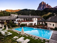
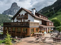
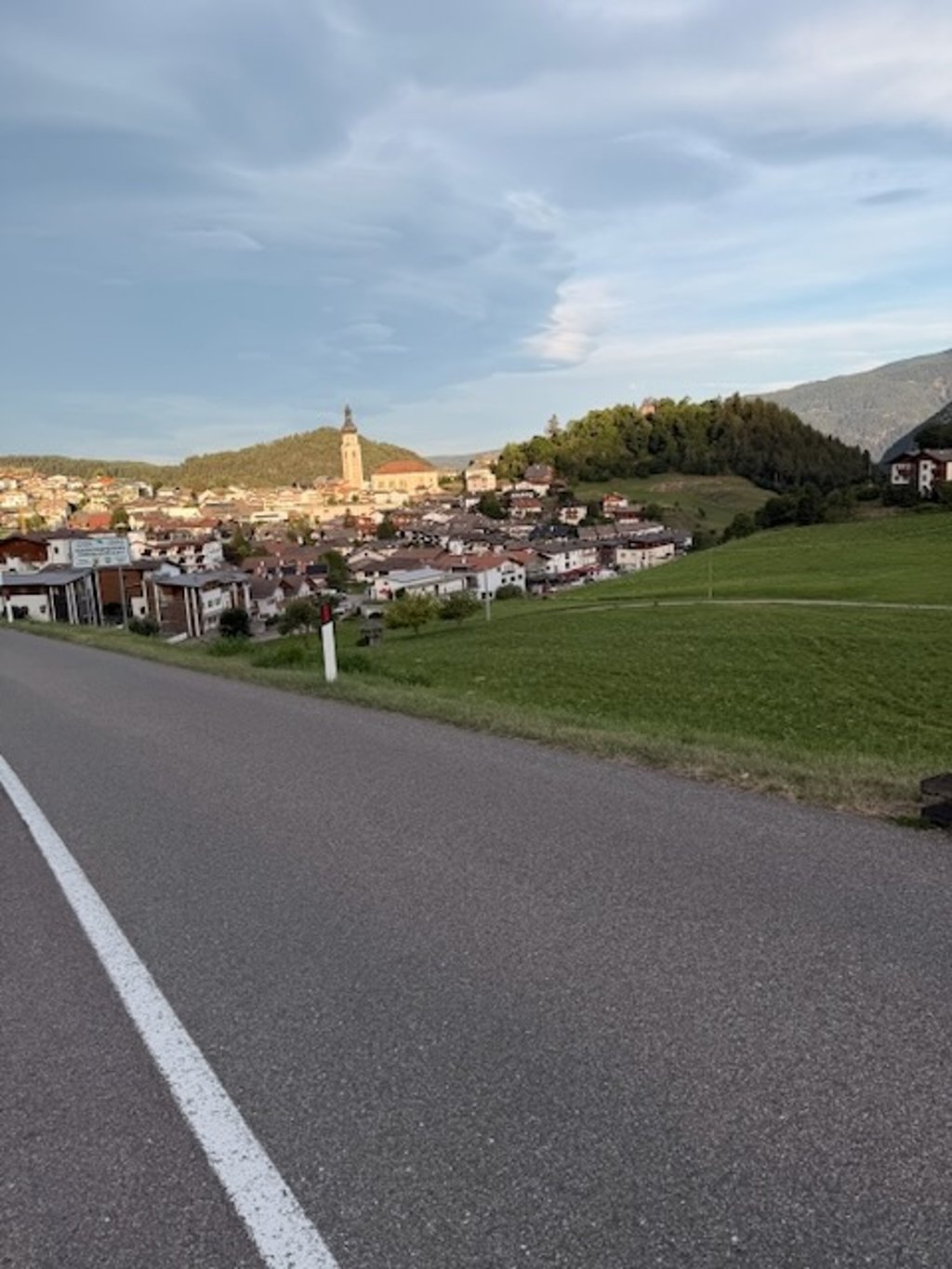
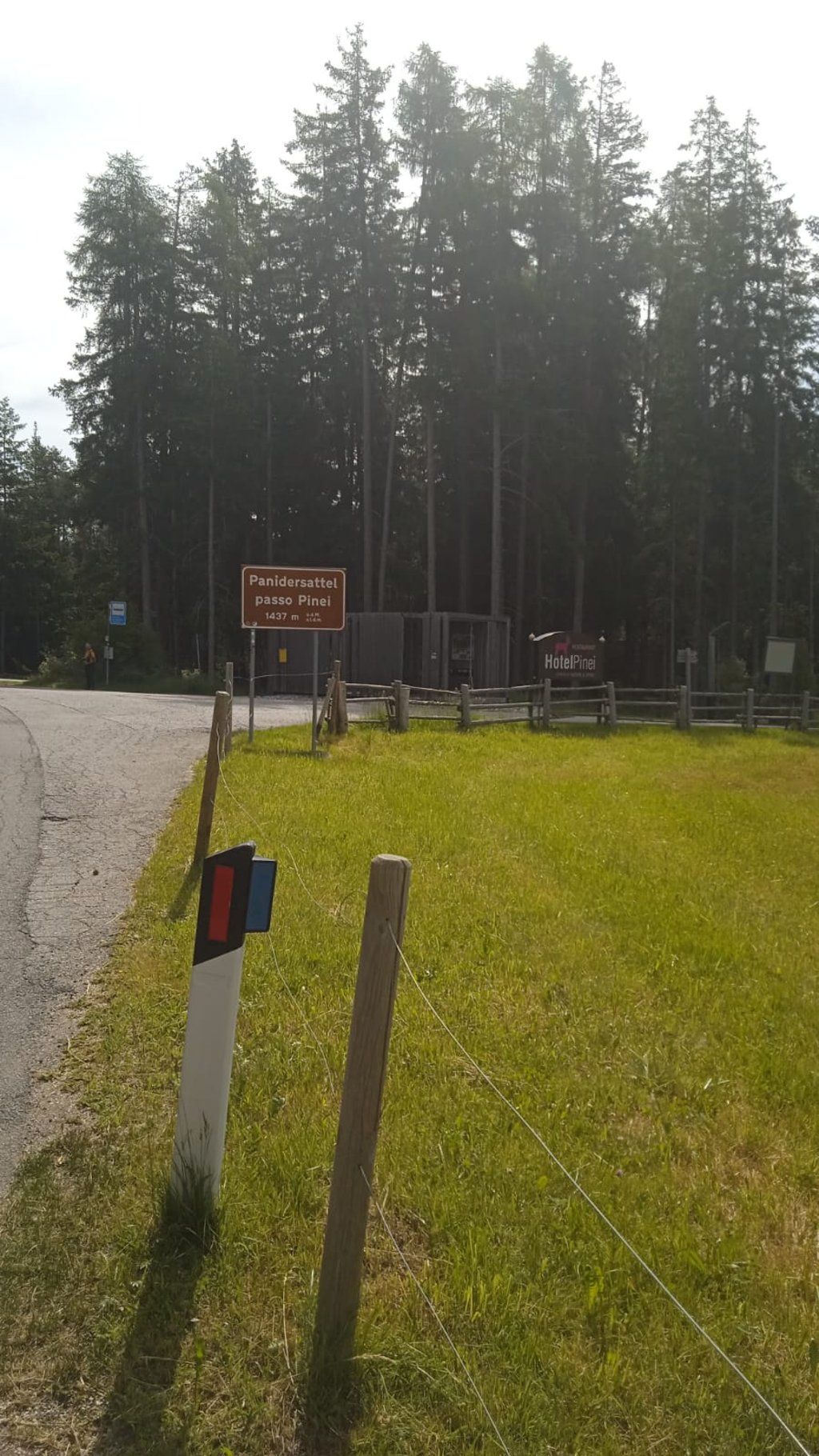
Passo Pinei / Panidersattel from Castelrotto / Kastelruth is a climb in the region Dolomites. It is 3.4 mi long and bridges 1306 ft of vertical ascent with an average gradient of 7.2%, resulting in a difficulty score of 330. The top of the ascent is located at 4738 ft above sea level. Climbfinder users shared 2 reviews of this climb and uploaded 4 photos.

Road names: Paniderstraße - Via Panider & LS/SP64
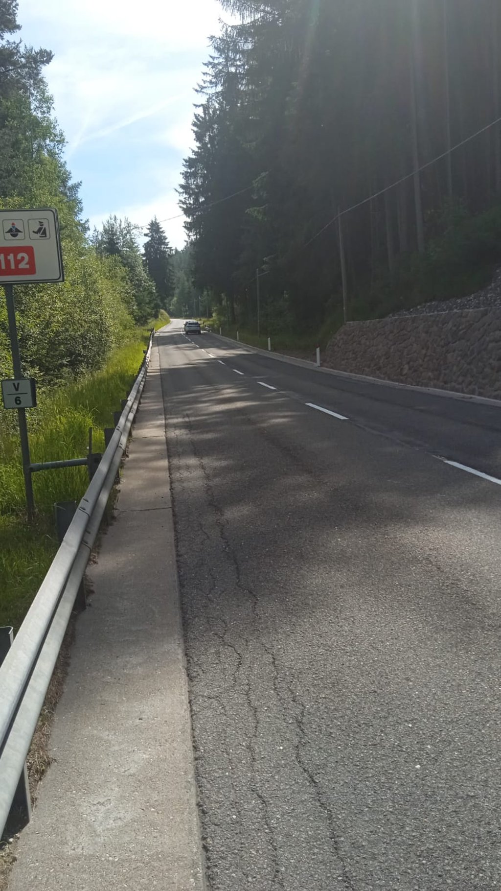
4.0 by Mierk
This is an automatic translation, the original language is: Dutch.
Nice climb, the steepest part is right at the front in Castelrotto. After that, there are a few bits where it hits the 10% mark. Quite a lot of traffic, but the road is very wide, so plenty of room. It is also fun to go down this one, because it is quite straight and you can speed up a lot if you want to. The road surface is fine, a few cracks here and there, but you can easily get around them.... read more

Photos (4)

Passo Pinei / Panidersattel from Castelrotto / Kastelruth
transparant thumb
transparant thumb

Your uploads (max 4)

Welcome! Please activate your account if you would like to share something. Look for the verification email in your inbox.

If you want to upload your photos, you need to create an account. It only takes 1 minute and it's completely free.
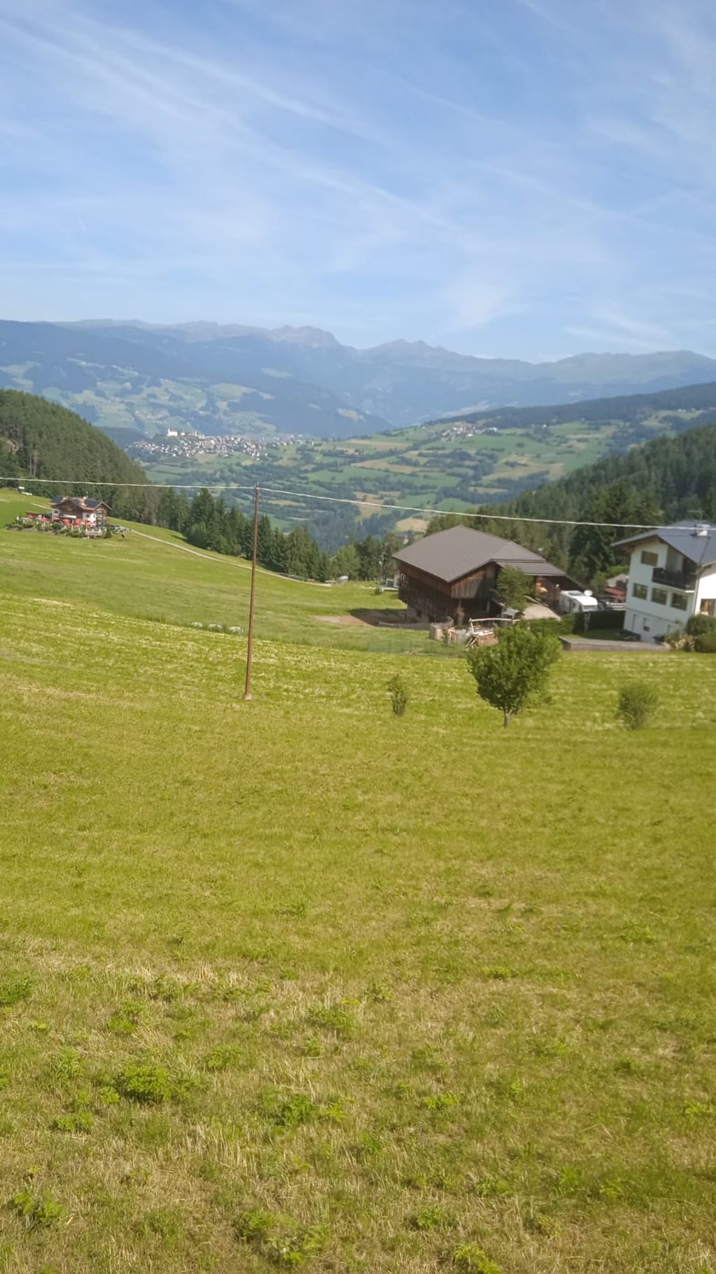
  • Receive free climbfinder goodies for your reviews & photos.
  • Create a bucket list and check off conquered climbs.
  • Add missing climbs.
Continue with GoogleContinue with Google Continue with FacebookContinue with Facebook Continue with AppleContinue with Apple Sign up with email
By signing up you agree to our terms of service and confirm that you have read our privacy & content policy.

Reviews (2)

5.0
4.0
3.0
2.0
1.0
David_Bianucci
11 Mo 4.0
This is an automatic translation, the original language is: Italian. Show original

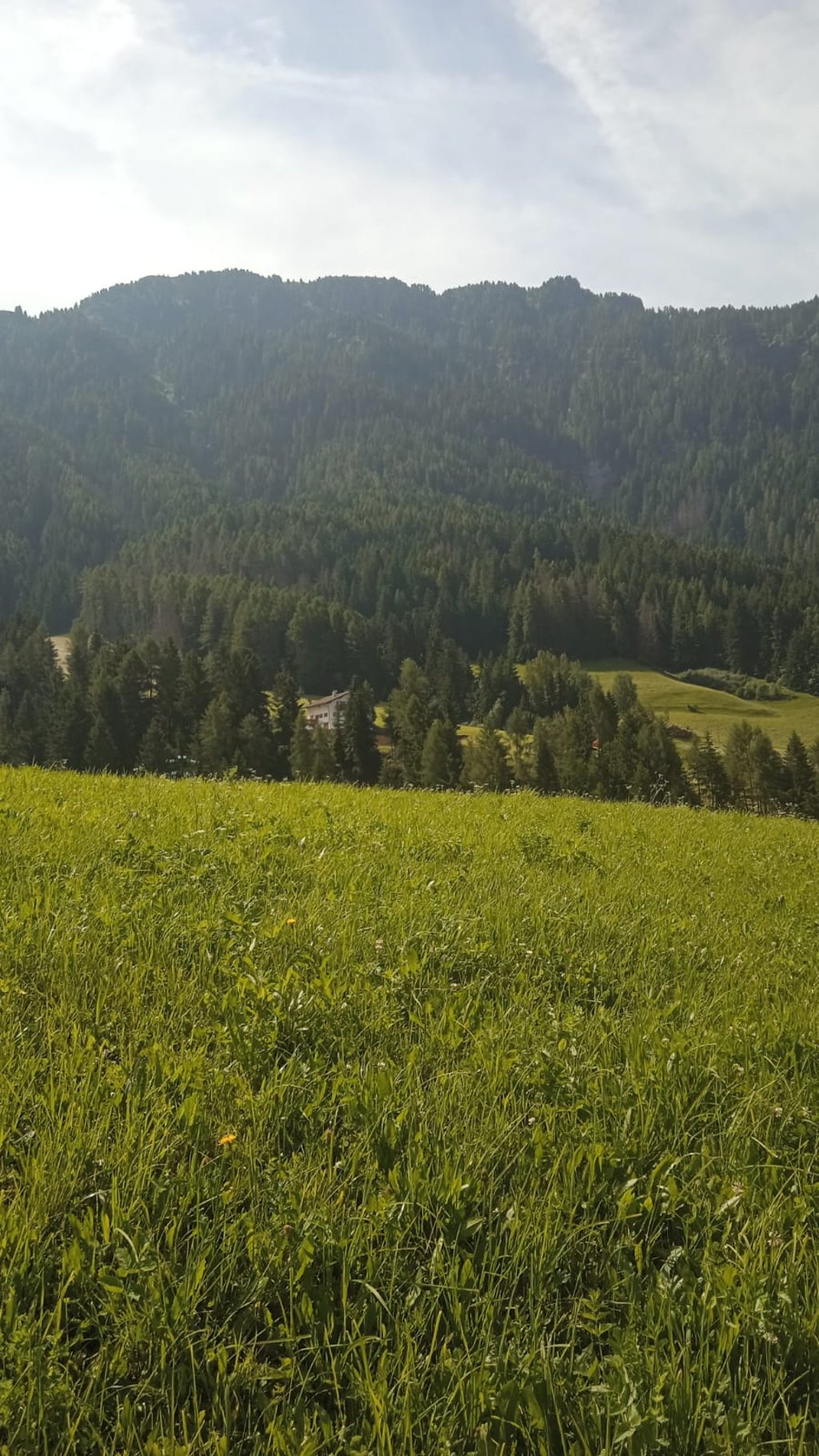
Mierk's review is perfect. The hardest points are near Castelrotto and one kilometre from the pass. It's a fairly short climb with no particularly difficult sections. The traffic, even heavy traffic, is quite annoying but fortunately the state road is very wide. The best part of this climb is the descent! One of the most fun I've ever had. Beautiful scenery, wide bends, good visibility and perfect asphalt make it possible to descend without applying the brakes too much and without getting into dangerous encounters.

La recensione di Mierk é perfetta. I punti più duri sono vicino a Castelrotto e a un chilometro dal passo. É una salita abbastanza breve e senza passaggi particolarmente difficili. Il traffico, anche quello pesante, é piuttosto fastidioso ma fortunatamente la sede statale é molto larga. Il meglio di questa salita lo si gode... in discesa! Una delle più divertenti che abbia mai fatto. Bel panorama, curve ampie, bella visibilità e asfalto perfetto consentono di scendere senza tirare troppo i freni e senza incidere in incontri pericolosi.

Dashboard
Mierk
3 y 4.0
This is an automatic translation, the original language is: Dutch. Show original

Nice climb, the steepest part is right at the front in Castelrotto. After that, there are a few bits where it hits the 10% mark. Quite a lot of traffic, but the road is very wide, so plenty of room. It is also fun to go down this one, because it is quite straight and you can speed up a lot if you want to. The road surface is fine, a few cracks here and there, but you can easily get around them.

Leuke klim, het steilste stukje zit gelijk vooraan in Castelrotto. Daarna nog een paar stukjes waar het de 10% aantikt. Redelijk wat verkeer, maar de weg is erg breed, dus voldoende ruimte. Ook leuk om deze af te dalen, omdat het vrij rechte stukken zijn kun je als je wilt flink wat vaart maken. Het wegdek is prima, een paar scheuren hier en daar, maar daar kun je makkelijk omheen.

Dashboard

Climbing times

5 mph 00:41:09
7 mph 00:29:08
9 mph 00:22:42
12 mph 00:17:03

Road surface condition

50% 50% 0%
Based on 2 votes
Share your knowledge. What was the road condition during your ascent?

Traffic

0% 50% 50%
Based on 2 votes
Your experience counts. How much traffic did you encounter during the climb?

Frequently Asked Questions

Passo Pinei / Panidersattel can be cycled from 3 sides. Passo Pinei / Panidersattel from Ortisei / Sankt Ulrich is the most popular side, but the summit can also be reached via Passo Pinei / Panidersattel from Passua / Passberg & Passo Pinei / Panidersattel from Castelrotto / Kastelruth.

Passo Pinei / Panidersattel from Castelrotto / Kastelruth is a challenging ascent. For this type of climbing, we recommend mountain gearing, specifically a compact system. This means a small front chainring of 34 teeth, combined with a rear cassette where, depending on your level, strength, and experience, you choose a sprocket with 30, 32, or even 34 teeth. Remember that a smooth cadence is always more efficient!

Passo Pinei / Panidersattel from Castelrotto / Kastelruth is a serious climb and falls into the 2nd category. With a good basic fitness level, even without much cycling experience, you can complete this climb just fine. However, a bike with climbing gears is a must. Without experience or training, it will be really tough – but that’s part of the challenge!

Passo Pinei / Panidersattel from Castelrotto / Kastelruth is 3.4 mi long.

The average gradient of Passo Pinei / Panidersattel from Castelrotto / Kastelruth is 7.2%.

Passo Pinei / Panidersattel from Castelrotto / Kastelruth has a steepest segment with an average gradient of 13.9%.

The summit of Passo Pinei / Panidersattel from Castelrotto / Kastelruth is at 4738 ft.

At a slow pace of 5 mph, it takes about 00:41:09 to climb Passo Pinei / Panidersattel from Castelrotto / Kastelruth. At 7 mph the time is 00:29:08, and at 9 mph 00:22:42. For the fastest cyclists, 00:17:03 is an achievable time.

Passo Pinei / Panidersattel from Castelrotto / Kastelruth is located in the region Bolzano in Italy.

This page is better in the app

Climbfinder app
Climbfinder
(Free)
Open