Pachołek via Tatrzańska is a climb in the region Pomerania. It is 0.4 mi long and bridges 217 ft of vertical ascent with an average gradient of 9.9%, resulting in a difficulty score of 91. The top of the ascent is located at 341 ft above sea level. Climbfinder users shared 1 review/story of this climb and uploaded 2 photos.
This is an automatic translation, the original language is: English.
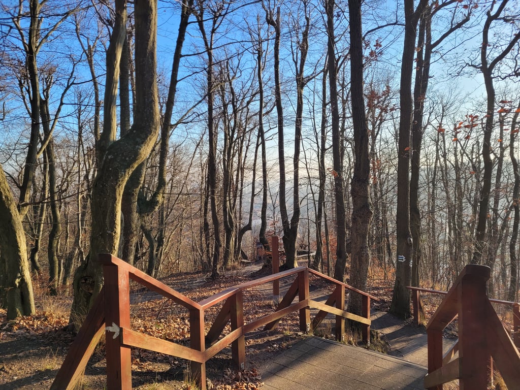
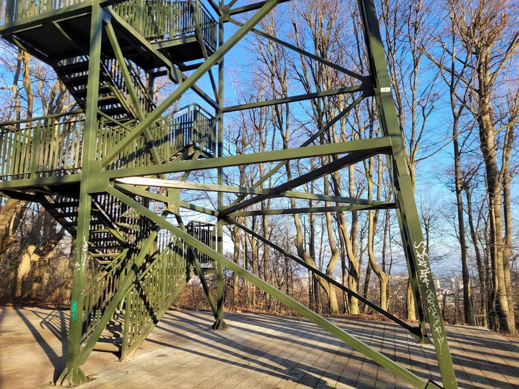
Steepest climb in the area, cobbled all the way up with a sidewalk for the first couple hundred meters, with a very nice lookout tower on the top of the hill....read more
Photos (2)
Welcome! Please activate your account if you would like to share something. Look for the verification email in your inbox.
Steepest climb in the area, cobbled all the way up with a sidewalk for the first couple hundred meters, with a very nice lookout tower on the top of the hill.
Share your knowledge. What was the road condition during your ascent?
Traffic
100% 0% 0%
Based on 1 vote
Your experience counts. How much traffic did you encounter during the climb?
Frequently Asked Questions
You don't need special gearing for Pachołek via Tatrzańska. The slope isn't long or steep enough to require much shifting down. You can conquer this climb on power alone. However, a compact gearing system with a smallest front chainring of 34 and largest rear sprocket of 28 or 30 is always nice if you enjoy cycling uphill. This helps maintain a smooth cadence.
Pachołek via Tatrzańska is a 4th-category climb. A sprint to the top is usually not an option, and untrained riders will definitely feel it in their legs. For trained cyclists, it is a great training climb.
Pachołek via Tatrzańska is 0.4 mi long.
The average gradient of Pachołek via Tatrzańska is 9.9%.
Pachołek via Tatrzańska has a steepest segment with an average gradient of 14.1%.
The summit of Pachołek via Tatrzańska is at 341 ft.
At a slow pace of 5 mph, it takes about 00:05:01 to climb Pachołek via Tatrzańska. At 7 mph the time is 00:03:33, and at 9 mph 00:02:46. For the fastest cyclists, 00:02:04 is an achievable time.
Pachołek via Tatrzańska is located in the region Pomerania in Poland.