| 2 hairpin turns |
| #37 toughest climb of Lower Rhine |
| #68 most elevation gain of Lower Rhine |
| #64 average steepest climb of Grand Est |
Ordon from Hersbach is a climb in the region Lower Rhine. It is 1.3 mi long and bridges 679 ft of vertical ascent with an average gradient of 10.2%, resulting in a difficulty score of 222. The top of the ascent is located at 1650 ft above sea level. Climbfinder users shared 2 reviews of this climb and uploaded 2 photos.
Road names: Rue de la Gosse, La Petite Rue de la Gosse & Route du Cimetière Militaire
3.0 by PierreGdrThis is an automatic translation, the original language is: French.The climb is almost identical to the one starting from Wisches. It’s steep right from the start, so you need to find your rhythm quickly without pushing yourself too hard.The climb eases off afterward but remains consistently challenging, especially since the road surface is in poorer condition on the second half of the ascent. From the summit, you can continue on to the Col des Deux Donons, then the Col du Donon, or the Cote de l’Engin if you’re riding a gravel bike.... read more
Welcome! Please activate your account if you would like to share something. Look for the verification email in your inbox.
If you want to upload your photos, you need to create an account. It only takes 1 minute and it's completely free.
The climb is almost identical to the one starting from Wisches. It’s steep right from the start, so you need to find your rhythm quickly without pushing yourself too hard.The climb eases off afterward but remains consistently challenging, especially since the road surface is in poorer condition on the second half of the ascent. From the summit, you can continue on to the Col des Deux Donons, then the Col du Donon, or the Cote de l’Engin if you’re riding a gravel bike.
Montée quasi identique à celle qui monte depuis wisches. Ça grimpé fort dès le debut il faut vite trouver son rythme sans se mettre dans le rouge.La montée est moins raide ensuite mais reste régulière dans la difficulté surtout que le revêtement est moins bon sur la deuxième partie de l ascension.Possibilte de pousser depuis le sommet sur le col des deux donons puis celui du Donon ou de la cote de l engin si vous etes en gravel.
As with the east side (from Wisches), the climb is steep (10%) but without the 13% passages.
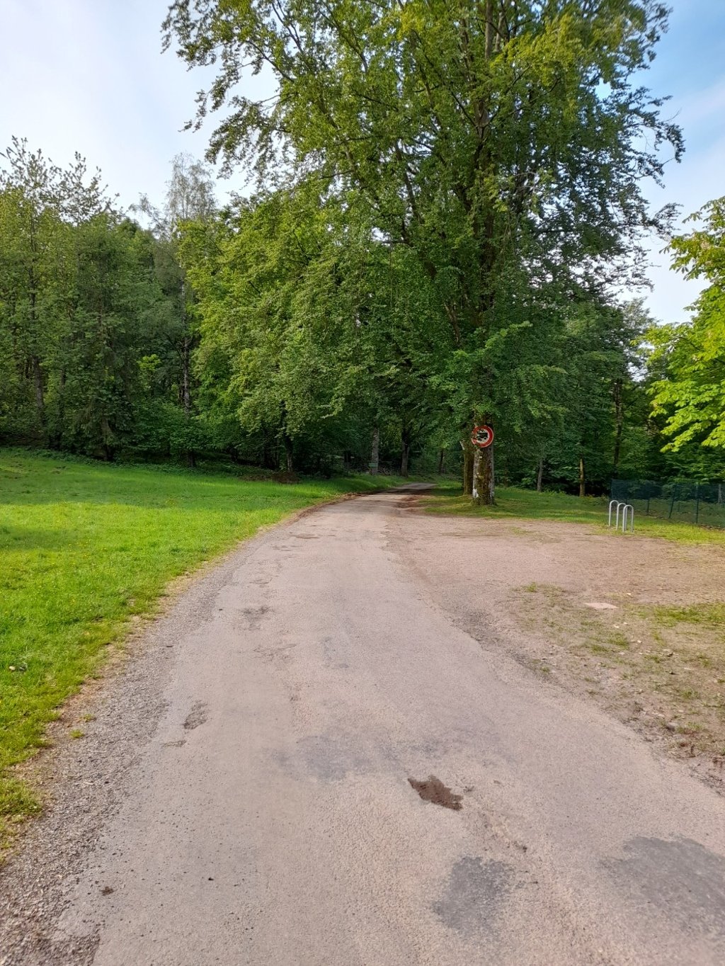
The ascent takes place mainly in forest. The surface of this small forest road is good in the first km, but degraded in the second. Take care on the descent.
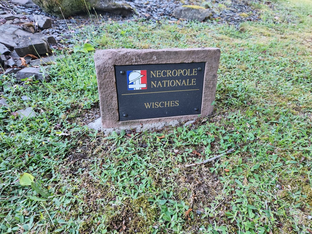
No particular view at the summit, apart from the military cemetery.
Comme pour le côté est (depuis Wisches), la montée raide (10%) mais sans les passages à 13%.
L'ascension se déroule essentiellement en forêt. Le revêtement de cette petite route forestière est bon dans le premier km, mais dégradé dans le second. Prudence donc à la descente.
Pas de vue particulière au sommet, hormis le cimetière militaire.
| 5 mph | 00:15:09 |
| 7 mph | 00:10:44 |
| 9 mph | 00:08:22 |
| 12 mph | 00:06:17 |
This page is better in the app