View on map
© MapLibre | OpenStreetMap contributors
1%
2%
4%
6%
8%
10%
12%
15%
20%

Nijverheidsstraat Rotse

2.0
3 reviews | Elevation profile | 4 photos
Tips nearby
Nijverheidsstraat Rotse
transparant thumb
transparant thumb
transparant thumb
transparant thumb
Your achievable time
Calculating based on your best performances...
Relaxed
Maximum
W/kg
W/kg
W/kg
Analyze your climbing performance
Detailed insight into your climbing performance & automatically check off climbs
Based on your best performances.
Your best attempt:
Number of attempts:
Elevation profile Nijverheidsstraat Rotse

Statistics

Difficulty points 9
Length 0.4 mi
Average gradient 3.4%
Steepest segment 6.2%
Total ascent 66 ft
Feedback about this climb?
Show climbs nearby Export to GPS device

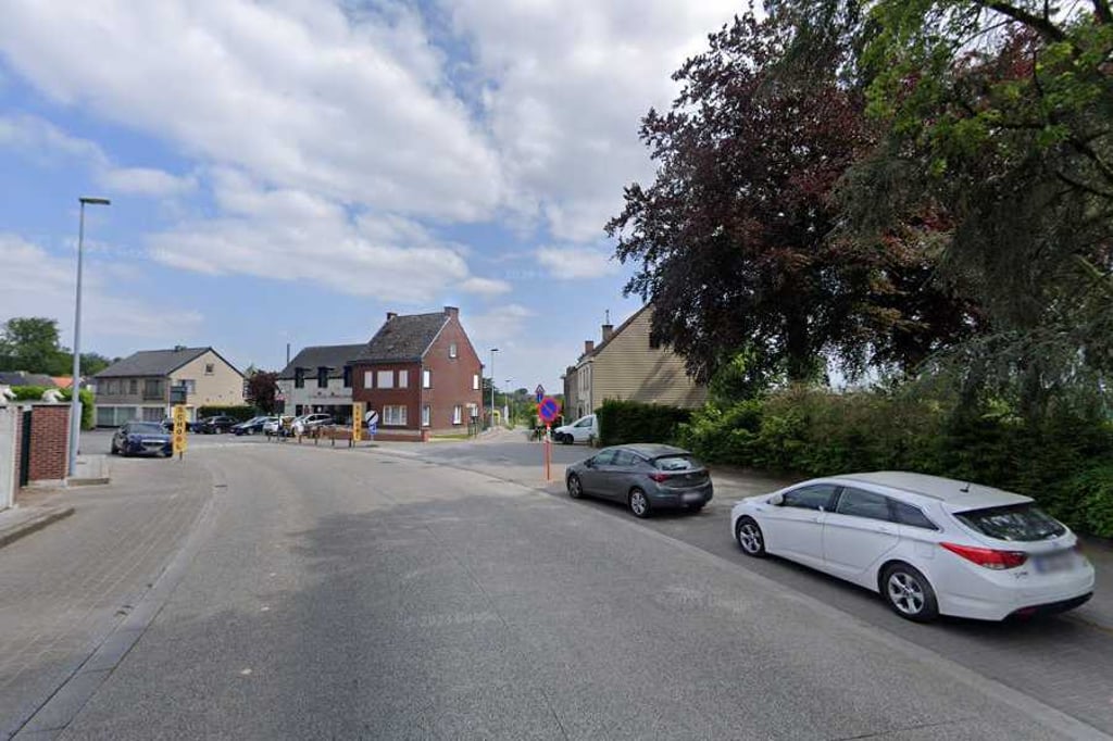
Nijverheidsstraat Rotse is a climb in the region Flemish Ardennes. It is 0.4 mi long and bridges 66 ft of vertical ascent with an average gradient of 3.4%, resulting in a difficulty score of 9. The top of the ascent is located at 108 ft above sea level. Climbfinder users shared 3 reviews of this climb and uploaded 4 photos.

Road name: Nijverheidsstraat
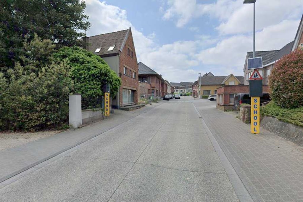
2.0 by Maikel1989
This is an automatic translation, the original language is: Dutch.
Short nod. Busy road so not very pleasant. You can start it with a lot of speed considering it starts right after a short descent.... read more

Photos (4)

Nijverheidsstraat Rotse
transparant thumb
transparant thumb

Your uploads (max 4)

Welcome! Please activate your account if you would like to share something. Look for the verification email in your inbox.

If you want to upload your photos, you need to create an account. It only takes 1 minute and it's completely free.

  • Receive free climbfinder goodies for your reviews & photos.
  • Create a bucket list and check off conquered climbs.
  • Add missing climbs.
Continue with GoogleContinue with Google Continue with FacebookContinue with Facebook Continue with AppleContinue with Apple Sign up with email
By signing up you agree to our terms of service and confirm that you have read our privacy & content policy.

Reviews (3)

5.0
4.0
3.0
2.0
1.0
Maikel1989
1 y 2.0
This is an automatic translation, the original language is: Dutch. Show original

Short nod. Busy road so not very pleasant. You can start it with a lot of speed considering it starts right after a short descent.

Kort knikje. Drukke weg dus niet heel aangenaam. Je kan er met veel snelheid aan beginnen gezien het direct na een korte afdaling begint.

Dashboard
BikerJohan
1 y 2.0
This is an automatic translation, the original language is: Dutch. Show original

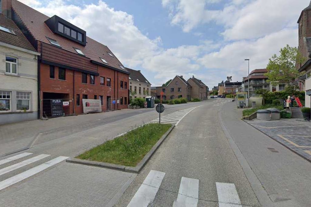
Short and not too difficult climb in Dikkelvenne. Most of the ascent is in the first part. If you're ready for something to eat: then roll out and have a bite at one of the eateries on the Market Square in Gavere.

Kort en niet te moeilijk klimmetje in Dikkelvenne. De meeste stijging zit in het eerste deel.. Ben je aan iets te eten toe: dan lekker uitbollen en op de Markt in Gavere bij één van de eetgelegenheden een hapje eten.

Dashboard
pkempenaers
2 y 2.0
This is an automatic translation, the original language is: Dutch. Show original

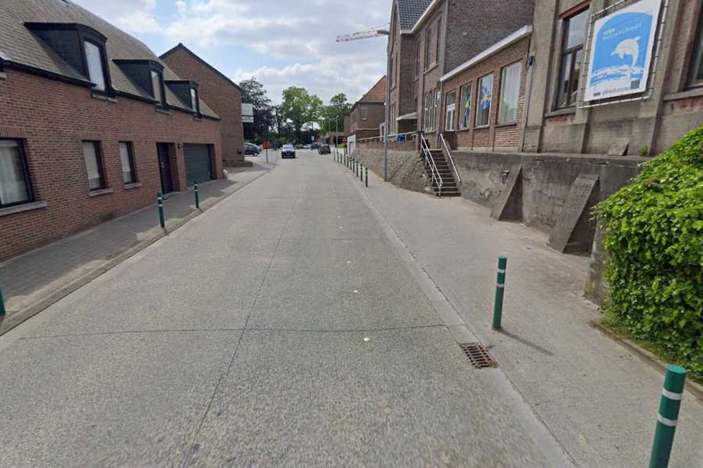
You ride here on what should pass for a cycle path, but is not one. You start it at a pack speed, but still have the ability to get on the pedals in the second section, but mainly to gain speed and not because it is necessary.

Je rijdt hier op wat moet doorgaan voor een fietspad, maar er geen is. Je begint er aan met een pak snelheid, maar hebt toch wel nog de mogelijkheid om op de pedalen te gaan staan in het tweede stuk, maar dan toch vooral om snelheid te maken en niet omdat het nodig is.

Dashboard

Climbing times

5 mph 00:04:28
7 mph 00:03:10
9 mph 00:02:28
12 mph 00:01:51

Road surface condition

0% 0% 0%
Based on 0 votes
Share your knowledge. What was the road condition during your ascent?

Traffic

0% 0% 0%
Based on 0 votes
Your experience counts. How much traffic did you encounter during the climb?

Frequently Asked Questions

You don't need special gearing for Nijverheidsstraat Rotse. The slope isn't long or steep enough to require much shifting down. You can conquer this climb on power alone. However, a compact gearing system with a smallest front chainring of 34 and largest rear sprocket of 28 or 30 is always nice if you enjoy cycling uphill. This helps maintain a smooth cadence.

Nijverheidsstraat Rotse is not tough enough to be assigned a mountain category. This means that even untrained cyclists can reach the top without any problems on this climb.

Nijverheidsstraat Rotse is 0.4 mi long.

The average gradient of Nijverheidsstraat Rotse is 3.4%.

Nijverheidsstraat Rotse has a steepest segment with an average gradient of 6.2%.

The summit of Nijverheidsstraat Rotse is at 108 ft.

At a slow pace of 5 mph, it takes about 00:04:28 to climb Nijverheidsstraat Rotse. At 7 mph the time is 00:03:10, and at 9 mph 00:02:28. For the fastest cyclists, 00:01:51 is an achievable time.

Nijverheidsstraat Rotse is located in the region East Flanders in Belgium.

This page is better in the app

Climbfinder app
Climbfinder
(Free)
Open