| #8 toughest climb of Schelde-Durme |
| #6 most elevation gain of Schelde-Durme |
| #11 longest climb of Schelde-Durme |
| #27 average steepest climb of Schelde-Durme |
Munteberg from Zink is a climb in the region Oost-Vlaamse bloemenstreek. It is 0.5 mi long and bridges 79 ft of vertical ascent with an average gradient of 2.7%, resulting in a difficulty score of 10. The top of the ascent is located at 154 ft above sea level. Climbfinder users shared 7 reviews of this climb and uploaded 4 photos.
Road name: Zink
2.0 by YoachjeThis is an automatic translation, the original language is: Dutch.Boring and not special. It is basically false flat all the time and on the main track, only the end is steep and can be tricky for the legs. In parallel, there are much nicer little mountains. The Stuivenberg forest (the wall of Munte) is a much nicer mountain if you have a gravel or MTB XC. It is steep and unpaved. Choose that instead of this one .... read more
Welcome! Please activate your account if you would like to share something. Look for the verification email in your inbox.
If you want to upload your photos, you need to create an account. It only takes 1 minute and it's completely free.
Boring and not special. It is basically false flat all the time and on the main track, only the end is steep and can be tricky for the legs. In parallel, there are much nicer little mountains. The Stuivenberg forest (the wall of Munte) is a much nicer mountain if you have a gravel or MTB XC. It is steep and unpaved. Choose that instead of this one .
Saai en niet speciaal. Het is eigenlijk vals plat de hele tijd en op de grote baan, alleen het einde is steil en kan lastig zijn voor de benen. Parallel zijn er veel leukere bergjes. Het stuivenbergbos (de muur van Munte) is een veel leukere berg als je een gravel of MTB XC hebt. Het is steil en onverhard. Kies die in plaats van deze .
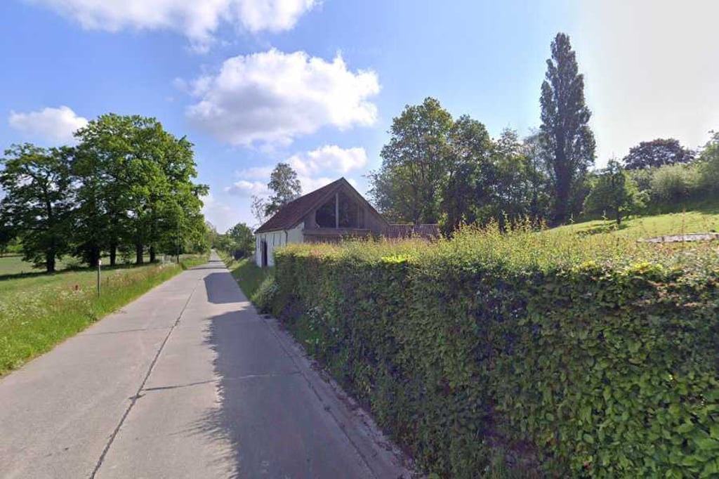
Nice warm-up. I usually do this as a descent coming from the cobbles of the Biest (recommended), but up along here is also quite pleasant. Never gets really steep but the scenery is just pleasant. Make sure you have enough speed left for the cobbles in the village otherwise you'll drive into a pub.
Leuk opwarmertje. Ik doe deze meestal als afdaling komende van de kasseien van de Biest (aanrader), maar omhoog langs hier is ook best aangenaam. Wordt nooit echt steil maar de omgeving is gewoon aangenaam. Zie dat je genoeg snelheid over hebt voor de kasseitjes in het dorp anders rij je zo een café binnen.
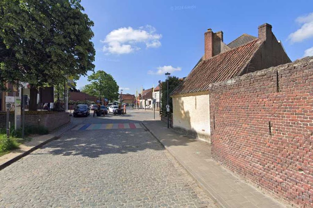
Nice climb in Flemish country. It starts gently and after about 500 metres it briefly rises to max 7%. After this, the climb flattens out. At the end, it's a nice cobblestone climb to leave Munte again.
Leuke klim in het Vlaamse heuvelland. Het begint rustig en na ca. 500 meter loopt het over 200 meter even op tot max. 7%. Hierna vlakt de klim af. Aan het einde nog even lekker over de kasseien dokkeren om Munte weer te verlaten.
Nice climb to get to the centre of Munte. Not very steep and a good warm-up. I always ride up via the Asselkouter.
Leuke klim om naar het centrum van Munte te gaan. Niet super steil en een goed opwarmertje. Zelf rij ik wel altijd via de Asselkouter naar boven.
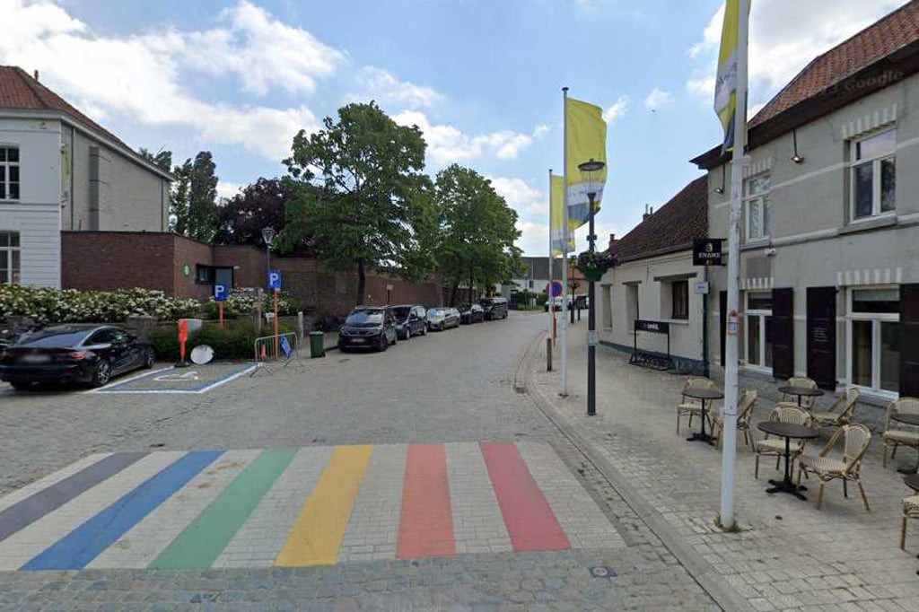
Fine climb with a nice ending where you arrive on the cobblestones of the village square. Quite wide but car-free.
Fijne klim met een mooi slot waarbij je arriveert op de kasseitjes van het dorpsplein. Vrij breed maar toch autoluw.
Nice little climb in this region, definitely recommended! Once you get to the top, you end up on cobblestones and it is better to stop immediately for a terrace...
Tof klimmetje in deze regio, zeker een aanrader! Eenmaal boven kom je op kasseien terecht en kan je dan maar beter direct stoppen voor een terrasje...
Nice climb! Nice road, not too steep...
Pay attention that the baker of Munte does not pass you on his carrier bicycle...
Leuk klimmetje! Mooi wegdek, niet te steil...
Let wel op dat de bakker van Munte je niet voorbijsteekt op zijn bakfiets...
| 5 mph | 00:06:35 |
| 7 mph | 00:04:40 |
| 9 mph | 00:03:38 |
| 12 mph | 00:02:43 |
This page is better in the app