Mulderswegske from Thull is a climb in the region South Limburg. It is 0.7 mi long and bridges 105 ft of vertical ascent with an average gradient of 3%, resulting in a difficulty score of 14. The top of the ascent is located at 338 ft above sea level. Climbfinder users shared 5 reviews of this climb and uploaded 18 photos.
Road name: Mulderswegske
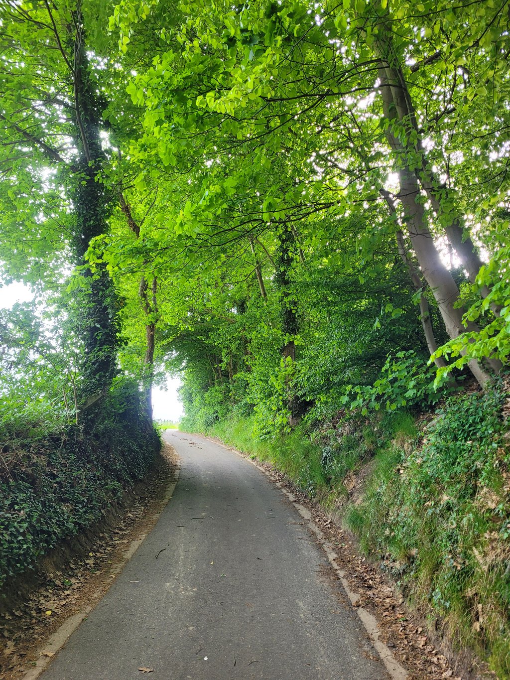
3.0 by JarinThis is an automatic translation, the original language is: Dutch.The climb doesn't amount to much; only when you enter a forest at three-quarters of the climb does it pick up a bit over about 150 metres. However, the climb is in a beautiful rural setting and worth a diversion for that reason alone. Fine road surface too.... read more
Welcome! Please activate your account if you would like to share something. Look for the verification email in your inbox.
If you want to upload your photos, you need to create an account. It only takes 1 minute and it's completely free.
The climb doesn't amount to much; only when you enter a forest at three-quarters of the climb does it pick up a bit over about 150 metres. However, the climb is in a beautiful rural setting and worth a diversion for that reason alone. Fine road surface too.
De klim stelt niet zoveel voor; pas wanneer je op driekwart van de klim een bos inrijdt trekt de klim over ongeveer 150 meter wat aan. De klim ligt echter in een prachtige landelijke omgeving en is alleen daarom al een omweg waard. Prima wegdek ook.
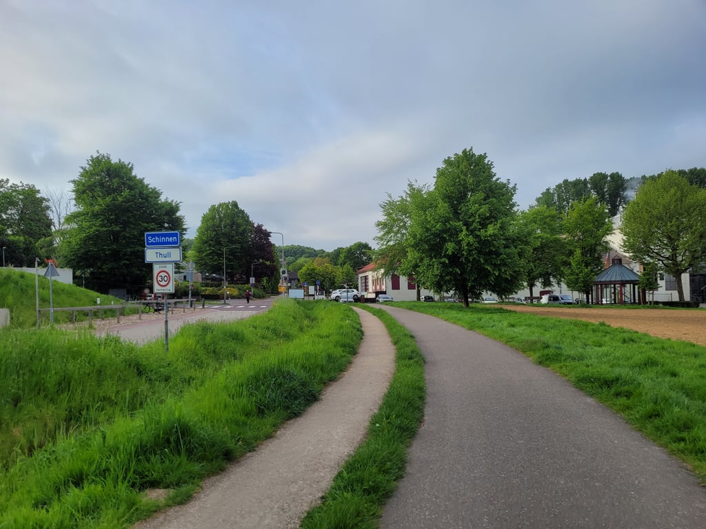
Nice climb it the outskirts of Schinnen/Thull. The climb starts at the junction near the Alfa brewery. The first few hundred metres it goes up like flax flat. After the right/left turn follows a steeper bit but then it flattens out until the top just before Hommerterweg.
Leuke klim het het buitengebied van Schinnen/Thull. De klim start op de kruising bij de Alfa-brouwerij. De eerste paar honderd meter loopt het als vlas plat omhoog. Na de rechts/links bocht volgt een steiler stukje maar daarna vlakt het tot de top vlak voor de Hommerterweg af.
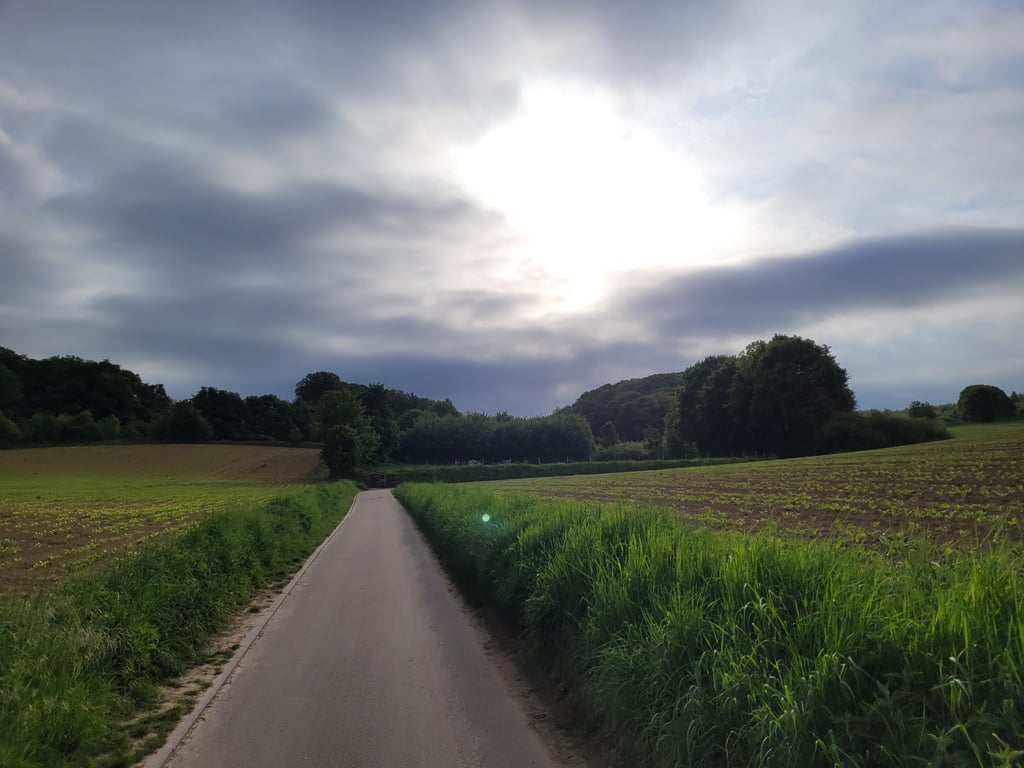
A climb on a beautiful road (prohibited for motorized traffic) which is quite versatile. You start at the Alfa-brewery after which you immediately turn into the road which runs leisurely up through a valley and past a war memorial. After a right turn you go up along a dam and after the next turn you dive into a steep hollow road. When you leave this road you continue to the highest point. Nice view to the back into the valley. Good asphalt.
Een klim over een prachtig weggetje (verboden voor gemotoriseerd verkeer) wat nog best veelzijdig is. Je start bij de Alfa-brouwerij waarna je meteen het weggetje ingaat wat relaxed door een dal naar boven loopt en langs een oorlogsmonument komt. Na een haakse bocht naar rechts ga je langs een dam omhoog en na de volgende bocht duik je een steile holle weg in. Bij het verlaten daarvan nog even door naar het hoogste punt. Mooi uitzicht naar achteren het dal in. Goed asfalt.
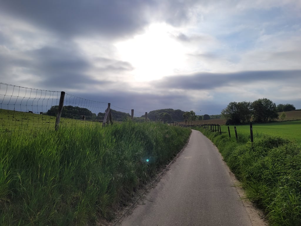
Indeed a nice little road. The Schinnen area has improved its cycling infrastructure in recent years. Motorized traffic is not allowed on this road, so it is an oasis of peace and quiet. Because of the two sharp bends it is difficult to follow it all the way.
Inderdaad een mooi weggetje. De omgeving Schinnen heeft sowieso de afgelopen jaren goed haar fiets-infrastructuur verbeterd. Gemotoriseerd verkeerd mag en kan in deze weg trouwens niet door, dus een oase van rust. Vanwege de twee scherpe bochten is het wel lastig om hem volledig door te trekken.
A hidden gem indeed! After the left turn it gets a bit steeper, but it never becomes really difficult. Because of the course and the location I can recommend the Mulderwegske to everyone.
Met recht een verborgen juweeltje! Na de bocht naar links wordt het iets steiler, maar geen moment wordt het echt moeilijk. Vanwege het verloop en de ligging kan ik iedereen het Mulderwegske aanbevelen.
| 5 mph | 00:07:57 |
| 7 mph | 00:05:37 |
| 9 mph | 00:04:23 |
| 12 mph | 00:03:17 |
This page is better in the app