View on map
© MapLibre | OpenStreetMap contributors
1%
2%
4%
6%
8%
10%
12%
15%
20%

Monte di Sovere from Fiorano al Serio

4.5
2 reviews | Elevation profile | 4 photos
Tips nearby
Monte di Sovere from Fiorano al Serio
transparant thumb
transparant thumb
transparant thumb
transparant thumb
Your achievable time
Calculating based on your best performances...
Relaxed
Maximum
W/kg
W/kg
W/kg
Analyze your climbing performance
Detailed insight into your climbing performance & automatically check off climbs
Based on your best performances.
Your best attempt:
Number of attempts:
Elevation profile Monte di Sovere from Fiorano al Serio

Statistics

Difficulty points 733
Length 8.8 mi
Average gradient 5.9%
Steepest segment 14.4%
Total ascent 2769 ft

Short recap

10 hairpin turns
#16 toughest climb of Bergamo
#16 most elevation gain of Bergamo
#90 longest climb of Lombardy
Feedback about this climb?
Show climbs nearby Export to GPS device

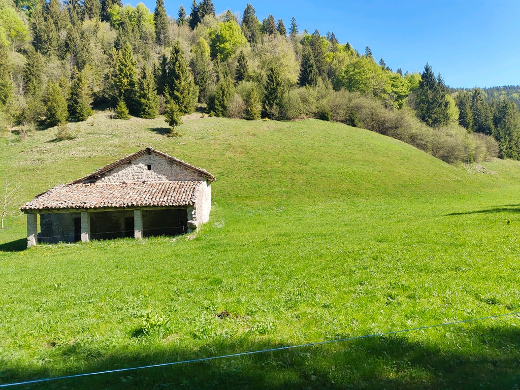
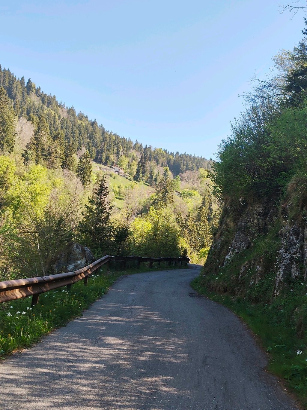
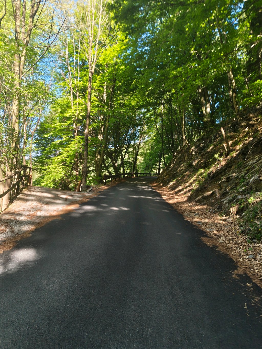
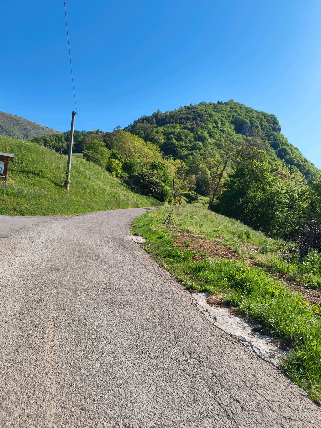
Monte di Sovere from Fiorano al Serio is a climb in the region Bergamo. It is 8.8 mi long and bridges 2769 ft of vertical ascent with an average gradient of 5.9%, resulting in a difficulty score of 733. The top of the ascent is located at 4045 ft above sea level. Climbfinder users shared 2 reviews of this climb and uploaded 4 photos.

Road names: Via Lungo Romna, Via Campone / Via Roma, Via Roma, Via Provinciale, Via Giosuè Carducci, Via Fontanella & Via Opifici

4.0 by EmaAmo
This is an automatic translation, the original language is: Italian.
A beautiful climb in a secluded environment without traffic, with hard climbs interspersed with others for recovery. If tackled on a mountain-bike, it is possible to continue with nice circular tours in the Farno - Formico - Sparavera area.... read more

Photos (4)

Monte di Sovere from Fiorano al Serio
transparant thumb
transparant thumb

Your uploads (max 4)

Welcome! Please activate your account if you would like to share something. Look for the verification email in your inbox.

If you want to upload your photos, you need to create an account. It only takes 1 minute and it's completely free.

  • Receive free climbfinder goodies for your reviews & photos.
  • Create a bucket list and check off conquered climbs.
  • Add missing climbs.
Continue with GoogleContinue with Google Continue with FacebookContinue with Facebook Continue with AppleContinue with Apple Sign up with email
By signing up you agree to our terms of service and confirm that you have read our privacy & content policy.

Reviews (2)

5.0
4.0
3.0
2.0
1.0
DiegoB14
1 Mo 5.0 via the Climbfinder app
This is an automatic translation, the original language is: Italian. Show original

Beautiful views, tough climb both for the gradients and for the quality and type of asphalt. On arrival refuge run by ANPI and views from Adamello to Lake Iseo.

Bellissimi panorami, salita dura sia per le pendenze sia per la qualità e tipologia dell'asfalto. All'arrivo rifugio gestito dall'ANPI e panorami dall'Adamello al lago d'Iseo

Monte di Sovere from Fiorano al Serio
Dashboard
EmaAmo
10 Mo 4.0
This is an automatic translation, the original language is: Italian. Show original

A beautiful climb in a secluded environment without traffic, with hard climbs interspersed with others for recovery. If tackled on a mountain-bike, it is possible to continue with nice circular tours in the Farno - Formico - Sparavera area.

Bella salita in ambiente isolato senza traffico, con strappi duri intervallati ad altri di recupero. Se affrontata in mountain-bike è possibile proseguire con bei giri ad anello nella zona Farno - Formico - Sparavera.

Dashboard

Climbing times

5 mph 01:46:37
7 mph 01:15:29
9 mph 00:58:49
12 mph 00:44:11

Road surface condition

0% 100% 0%
Based on 2 votes
Share your knowledge. What was the road condition during your ascent?

Traffic

100% 0% 0%
Based on 2 votes
Your experience counts. How much traffic did you encounter during the climb?

Frequently Asked Questions

You don't need special gearing for Monte di Sovere from Fiorano al Serio. The slope isn't long or steep enough to require much shifting down. You can conquer this climb on power alone. However, a compact gearing system with a smallest front chainring of 34 and largest rear sprocket of 28 or 30 is always nice if you enjoy cycling uphill. This helps maintain a smooth cadence.

Monte di Sovere from Fiorano al Serio is a first-category climb: long and tough. Do not underestimate this climb. Many famous Tour de France cols fall into this category. Prepare for a long, challenging ride. Only well-trained riders will reach the top smoothly. Make sure you have a road bike with climbing gears and enough training; otherwise, it will be a struggle.

Monte di Sovere from Fiorano al Serio is 8.8 mi long.

The average gradient of Monte di Sovere from Fiorano al Serio is 5.9%.

Monte di Sovere from Fiorano al Serio has a steepest segment with an average gradient of 14.4%.

The summit of Monte di Sovere from Fiorano al Serio is at 4045 ft.

At a slow pace of 5 mph, it takes about 01:46:37 to climb Monte di Sovere from Fiorano al Serio. At 7 mph the time is 01:15:29, and at 9 mph 00:58:49. For the fastest cyclists, 00:44:11 is an achievable time.

Monte di Sovere from Fiorano al Serio is located in the region Bergamo in Italy.

This page is better in the app

Climbfinder app
Climbfinder
(Free)
Open