Monte delle Piume is a climb in the region Colli Berici. It is 1.1 mi long and bridges 476 ft of vertical ascent with an average gradient of 8%, resulting in a difficulty score of 130. The top of the ascent is located at 548 ft above sea level. Climbfinder users shared 1 review/story of this climb and uploaded 4 photos.
This is an automatic translation, the original language is: Italian.
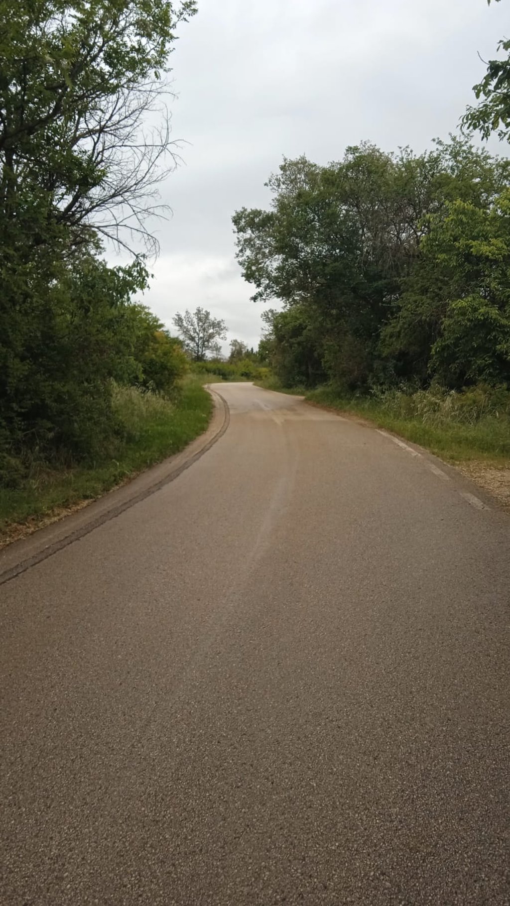
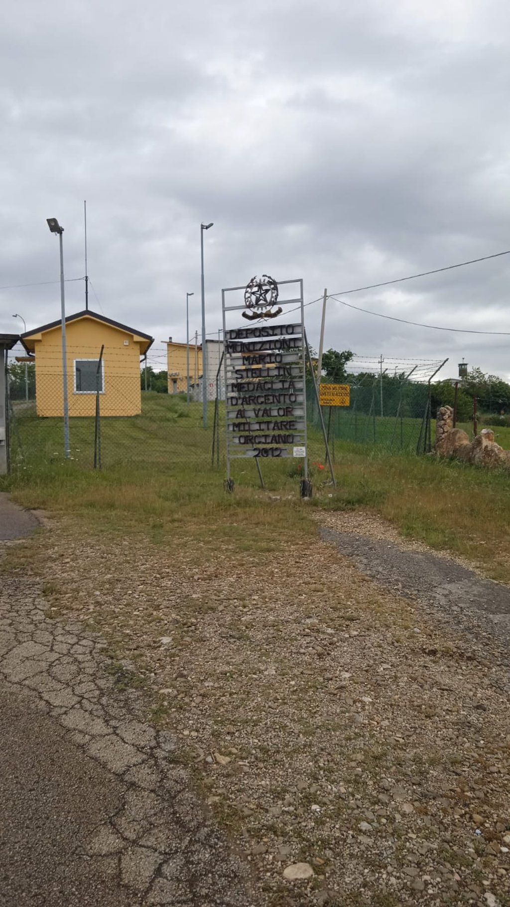
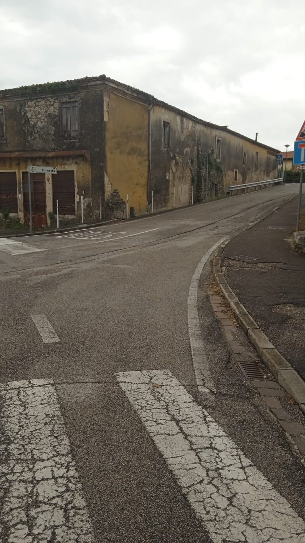
Start in the centre of Orgiano and take Via del Fornetto. At the beginning there are some challenging stretches, but these are interspersed with easier segments. The final part is constant on relatively easy gradients and on very good asphalt. The climb comes to an abrupt halt when you arrive at the ammunition depot, at whose gate you must turn your bike around and head back.
The road is wide, many sections are surrounded by fields and therefore exposed to the wind and sun. All in all, a short ...read more
Photos (4)
Welcome! Please activate your account if you would like to share something. Look for the verification email in your inbox.
This is an automatic translation, the original language is: Italian.
Show original
Start in the centre of Orgiano and take Via del Fornetto. At the beginning there are some challenging stretches, but these are interspersed with easier segments. The final part is constant on relatively easy gradients and on very good asphalt. The climb comes to an abrupt halt when you arrive at the ammunition depot, at whose gate you must turn your bike around and head back.
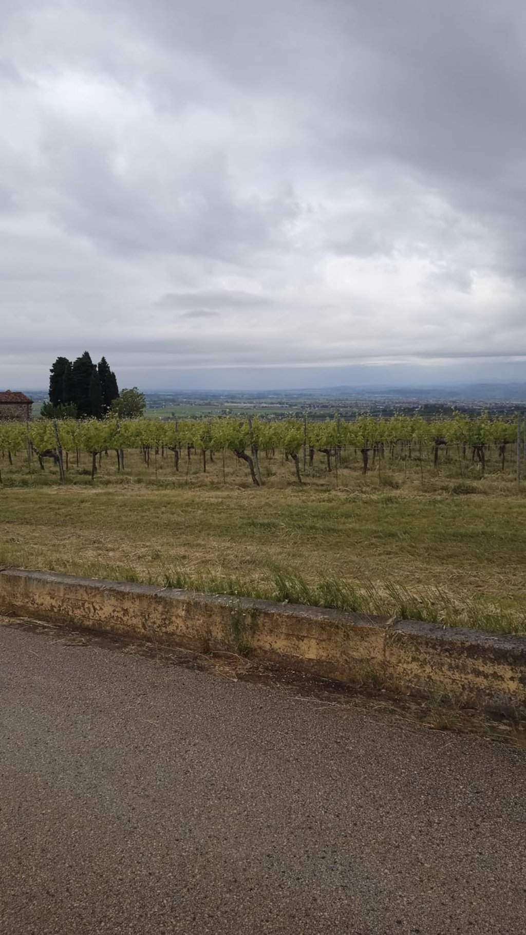
The road is wide, many sections are surrounded by fields and therefore exposed to the wind and sun. All in all, a short ramp that in terms of difficulty and setting has no particularly attractive features.
Si parte del centro di Orgiano e si prende via del Fornetto. All'inizio c'è qualche tratto impegnativo, intervallato però da segmenti più agevoli. La parte finale è costante su pendenze relativamente facili e su asfalto molto buono. La salita si interrompe bruscamente quando si arriva al deposito munizioni, al cui cancello si deve girare la bici e tornare indietro.
La strada è ampia, molti tratti sono circondati da campi e quindi esposti al vento e al sole. Nel complesso una rampetta breve che per difficoltà e ambientazione non ha peculiarità particolarmente attraenti.
Share your knowledge. What was the road condition during your ascent?
Traffic
0% 0% 0%
Based on 0 votes
Your experience counts. How much traffic did you encounter during the climb?
Frequently Asked Questions
You don't need special gearing for Monte delle Piume. The slope isn't long or steep enough to require much shifting down. You can conquer this climb on power alone. However, a compact gearing system with a smallest front chainring of 34 and largest rear sprocket of 28 or 30 is always nice if you enjoy cycling uphill. This helps maintain a smooth cadence.
Monte delle Piume is a 4th-category climb. A sprint to the top is usually not an option, and untrained riders will definitely feel it in their legs. For trained cyclists, it is a great training climb.
Monte delle Piume is 1.1 mi long.
The average gradient of Monte delle Piume is 8%.
Monte delle Piume has a steepest segment with an average gradient of 13%.
The summit of Monte delle Piume is at 548 ft.
At a slow pace of 5 mph, it takes about 00:13:41 to climb Monte delle Piume. At 7 mph the time is 00:09:41, and at 9 mph 00:07:33. For the fastest cyclists, 00:05:40 is an achievable time.
Monte delle Piume is located in the region Vicenza in Italy.