| Beautiful scenery |
| #25 toughest climb of Belgian Luxembourg |
| #73 most elevation gain of Belgium |
| #17 longest climb of Haute Ardenne |
| #38 average steepest climb of Haute Ardenne |
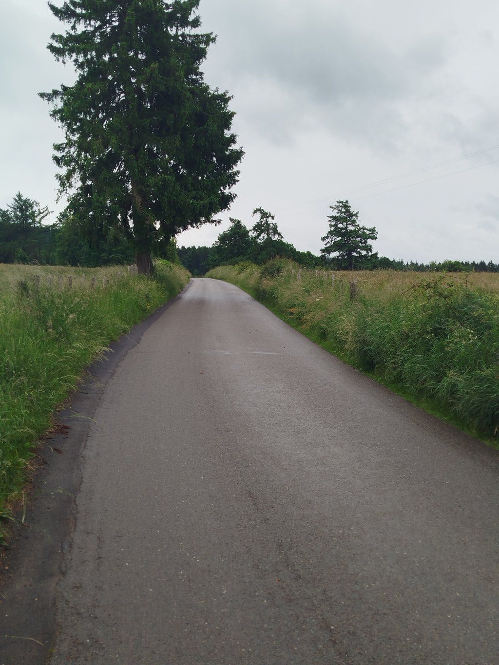
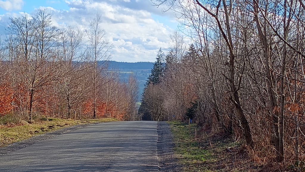
Mont-le-Soie is a climb in the region Haute Ardenne. It is 2.4 mi long and bridges 784 ft of vertical ascent with an average gradient of 6.1%, resulting in a difficulty score of 163. The top of the ascent is located at 1844 ft above sea level. Climbfinder users shared 12 reviews of this climb and uploaded 10 photos.
by NondedjuThis is an automatic translation, the original language is: Dutch.In the descent, I got clattered on the balls! Since then I'm not doing well.... read more

Welcome! Please activate your account if you would like to share something. Look for the verification email in your inbox.
If you want to upload your photos, you need to create an account. It only takes 1 minute and it's completely free.
Beautiful, typical Ardennes climb that nicely demonstrates why cycling is so much fun here. The long, even stretches through woods and open landscape give a wonderful rhythm, and despite the constant gradient it remains mainly a quiet, "walking" climb without vicious surprises. Ideal to get in while testing yourself in a beautiful setting.
Prachtige, typisch Ardense klim die mooi laat zien waarom fietsen hier zo genieten is. De lange, gelijkmatige stroken door bos en open landschap geven een heerlijk ritme, en ondanks de constante helling blijft het vooral een rustige, “lopende” klim zonder venijnige verrassingen. Ideaal om in te komen én jezelf toch goed te testen in een schitterende omgeving.
Nice training climb and also a great climb to start a week of cycling in the Ardennes! You can easily stay at Center Parcs
Mooie trainingsklim en ook een mooie klim voor een weekje fietsen in de ardennen te beginnen! Je kan makkelijk verblijven in Center Parcs
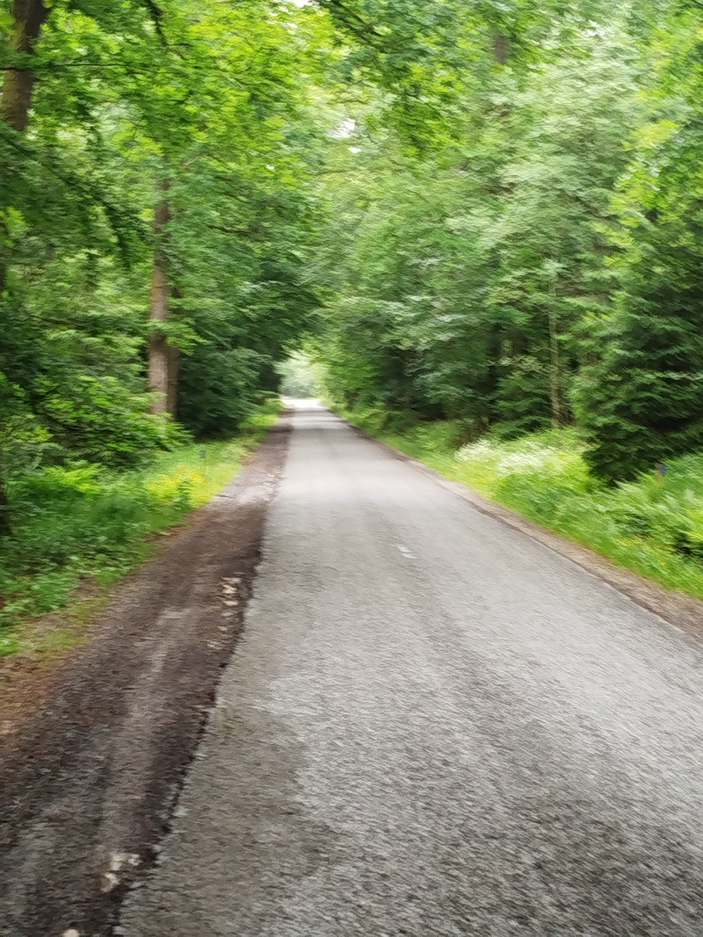
Fantastic climb! The first 2km I held back a bit because I didn't want to blow myself up. After that it went smoothly though. Really enjoying the forest. Lovely!
Fantastische klim! De eerst 2km een beetje ingehouden want ik wou me niet opblazen. Daarna ging het vlotjes hoor. Echt genieten in het bos gewoon. Heerlijk!
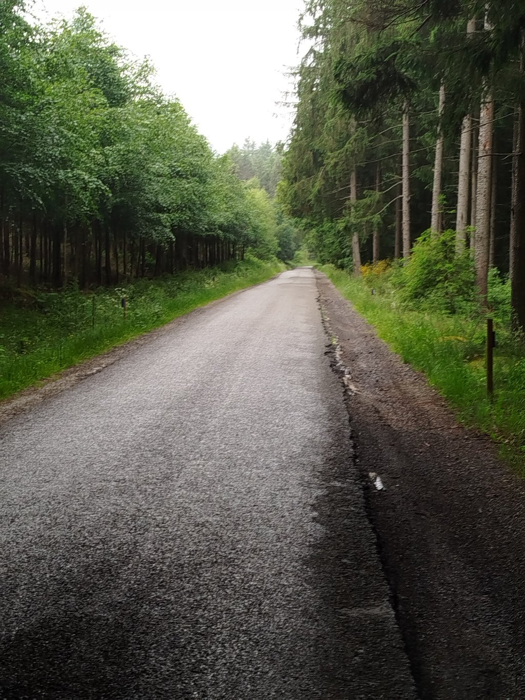
A long and quite difficult climb, especially the first part. In fact, this side is divided into three parts: the first, of intermediate difficulty with passages at 7%, a slight flat, then the second part, really difficult with a passage at 10% for 500 m, then the third part, bcp more rolling (between 3 and 5% of average) until the top, crossing a forest.
Une longue montée assez difficile, surtout la première partie. En réalité, cette côté se divise en trois parties : la première, de difficulté intermédiaire avec des passages à 7%, un léger replat, puis alors la deuxième partie, vraiment difficile avec un passage à 10% pendant 500 m, puis la troisième partie, bcp plus roulante (entre 3 et 5% de moyenne) jusqu'au sommet, en traversant une forêt.
Long climb in the woods, quite difficult. Has been part of Tilff-Bastogne-Tilff for the last few years, replacing the climb of Spineux/Wanne.
Longue côte dans les bois, assez difficile. A fait partie de Tilff-Bastogne-Tilff ces dernières années, en remplacement de la côte de Spineux/Wanne.
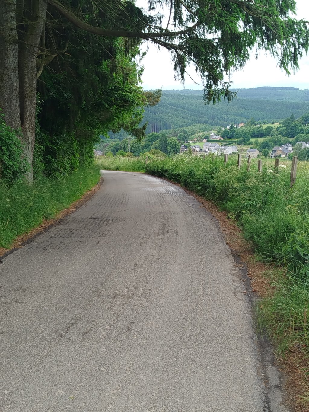
Long climb where it is especially the first 2km hard to push. After 1km there is a less steep part, where you can catch your breath. The last part goes through the forest. In summer you will be accompanied by a swarm of flies. The descent is fun, but you have to be careful with the crossroads.
Lange klim waarbij het vooral de eerste 2km flink doorduwen is. Na 1km is er een minder steil stukje, waar je even op adem kunt komen. Het laatste deel gaat door het bos. In de zomer wordt je dan vergezeld van een flinke zwerm vliegen. De afdaling is leuk, maar wel opletten geblazen met de kruispuntjes.
This side of the Mont de Soie is much longer than the other side that the riders of Liège-Bastogne-Liège take, but it is not very difficult. Not much traffic, nice road overall and very pleasant to ride in the woods.
Ce côté-ci du Mont de Soie est nettement plus long que l'autre versant que les coureurs de Liège-Bastogne-Liège empruntent, ceci-dit, ce n'est pas très difficile. Peu de trafic, belle route dans l'ensemble et très agréable de rouler dans les bois.
Great climb, nice to keep going a bit longer and get into your cadence. Descend afterwards is also nice and there is not that much traffic so you can go easy on yourself.
Prima klim gehad, lekker wat langer doorgaan en goed in je cadans komen. Afdaling erna is ook fijn en verkeer valt mee dus je kunt rustig je gang gaan.
In the descent, I got clattered on the balls! Since then I'm not doing well.
In de afdaling flink op mijn ballen gekletst ! Sindsdien gaat het niet goed met mij
Definitely a must for the fans of longer running climbs. Combine it with the Côte de Werhai during a tour. At the stables it looks like you're there, but it's still a bit of a long climb, when the road turns right into the forest there is a final bend.
Voor de liefhebbers van wat langere lopende klimmen zeker een aanrader. Tijdens een rondje goed te combineren met de Côte de Werhai. Bij de manege lijkt het dat je er bent, maar het is hier nog even doorfietsen, als de weg rechts het bos indraait zit er nog een laatste knikje.
Good climb. It is not really boring, you ride through the woods with some bends. Road is also good and there is little traffic.
Prima klim. Echt saai is het ook niet, je rijdt toch door het bos met wat bochtjes. Weg is bovendien prima en er is weinig verkeer.
Nice climb, nice runner. Too bad they recently sprinkled the asphalt with gravel, which makes it hard to watch out for in the descent.
Leuke klim, lekkere loper. Jammer dat ze recent het asfalt hebben overstrooit met grind, wat zeker in de afdaling goed opletten is.
| 5 mph | 00:29:28 |
| 7 mph | 00:20:51 |
| 9 mph | 00:16:15 |
| 12 mph | 00:12:12 |
This page is better in the app