Tips nearby


Mont Derrière from Col du Marais is a climb in the region Annecy. It is 2.7 mi long and bridges 1194 ft of vertical ascent with an average gradient of 8.2%, resulting in a difficulty score of 325. The top of the ascent is located at 3967 ft above sea level. Climbfinder users shared 2 reviews of this climb and uploaded 8 photos.
Road names: Route du Mont & Chemin de Plan Bois
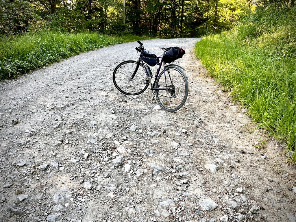
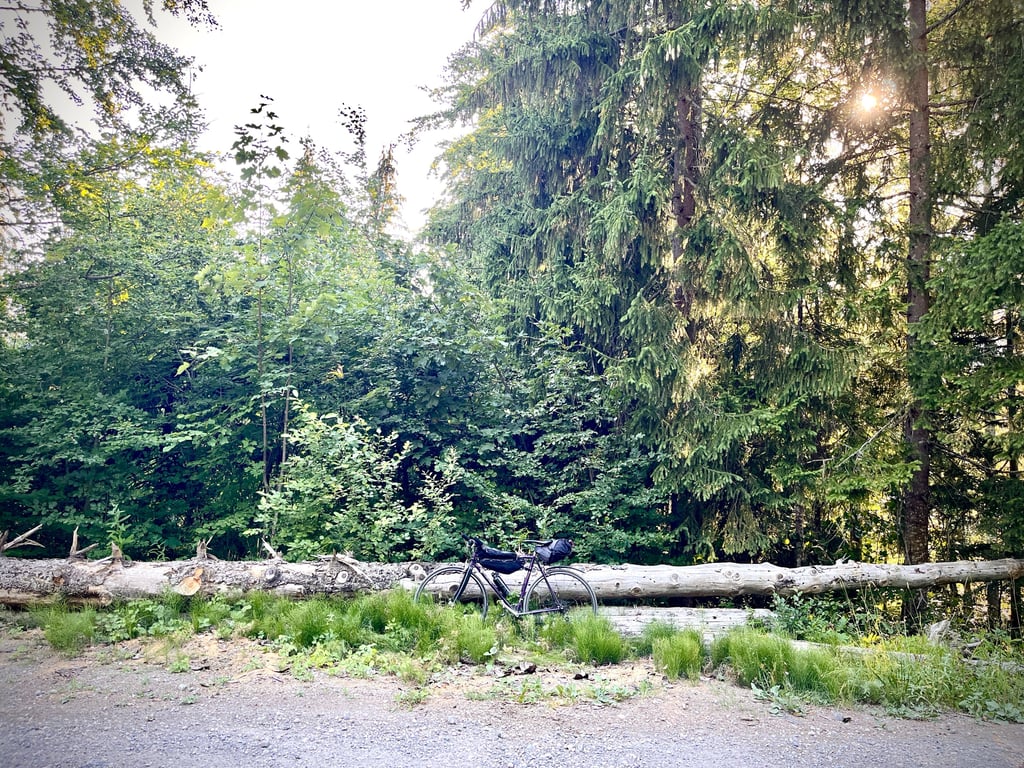
3.0 by CromagnonThis is an automatic translation, the original language is: French.Total frustration! No “Mont Derrière” sign!!! That’s the sign I was looking for! According to the GPS, our Mont Derrière (well, for now, it’s mostly just my own behind) is located on this tree stump (photo). Well… Warning: the last 800 meters are a pretty tough gravel trail. The descent is done trial-style, standing on the bike and on the brakes. The rest of the route is on a good, deserted road with some pretty steep grades. A short stretch through the forest. A proper gravel fini... read more

Welcome! Please activate your account if you would like to share something. Look for the verification email in your inbox.
If you want to upload your photos, you need to create an account. It only takes 1 minute and it's completely free.
 Continue with Google
 Continue with Facebook
 Continue with Apple
Sign up with email
Continue with Apple
Sign up with email
Total frustration!
No “Mont Derrière” sign!!!
That’s the sign I was looking for!
According to the GPS, our Mont Derrière (well, for now, it’s mostly just my own behind) is located on this tree stump (photo). Well…
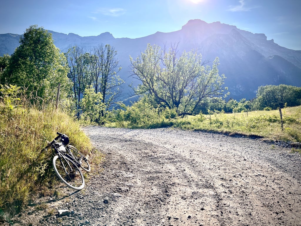
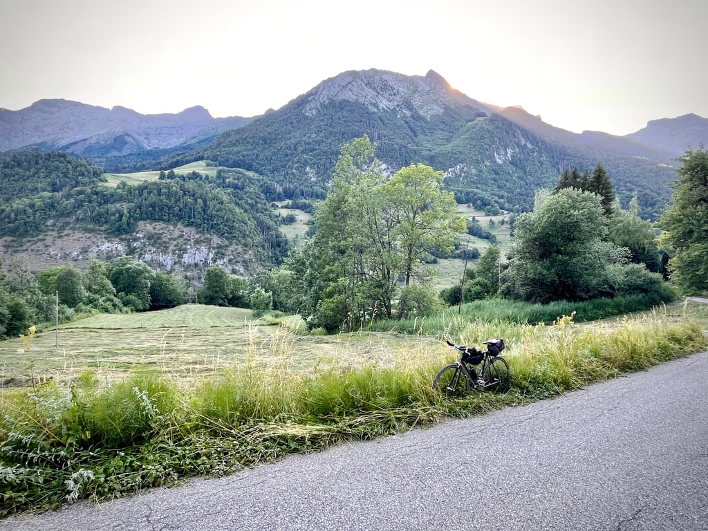
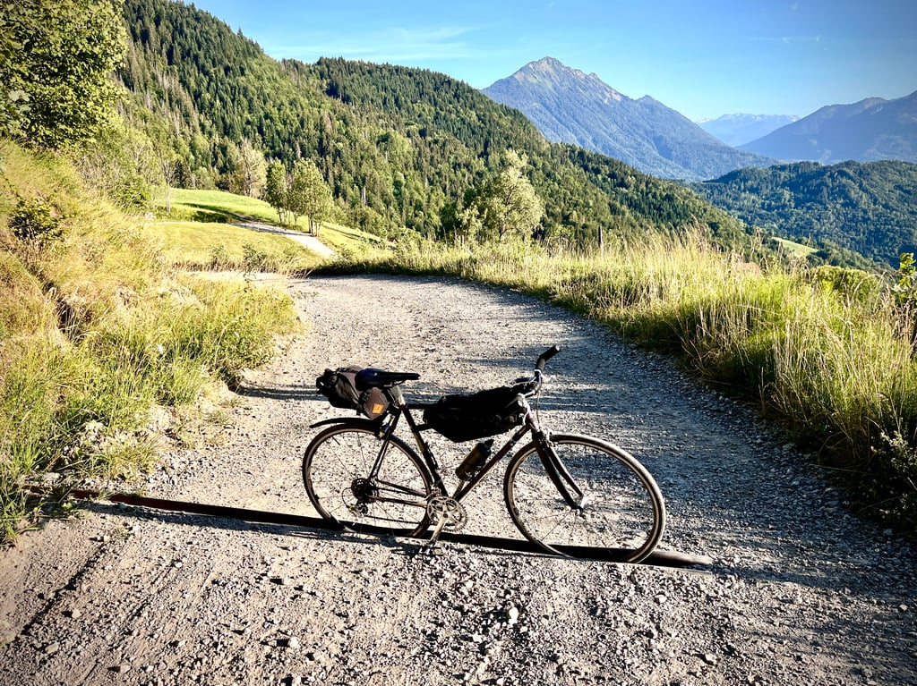
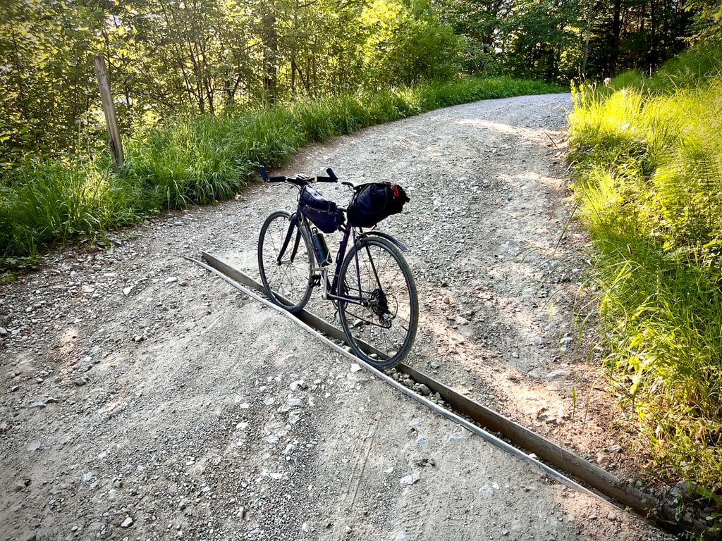
Warning: the last 800 meters are a pretty tough gravel trail. The descent is done trial-style, standing on the bike and on the brakes. The rest of the route is on a good, deserted road with some pretty steep grades. A short stretch through the forest. A proper gravel finish. Nothing spectacular to see along the way, but it’s a varied and really fun climb. Mr. Mayor, please put up a “Mont Derrière” sign for us! Thanks.
Frustration intégrale !
Pas de panneau « Mont Derrière » !!!
C’est ce panneau que je chassais !
Selon le gps, notre Mont Derrière (enfin, pour le moment, il s’agit surtout de mon derrière à moi) se situe sur ce tronc d’arbre (photo). Bon…
Attention, les 800 derniers mètres sont un chemin gravel assez difficile. La descente se fait en mode trial, debout sur le vélo et sur les freins. Le reste s’effectue sur une bonne route déserte avec des pourcentages plutôt solides. Un petit passage en forêt. Une fin bien gravel. Rien de transcendant à voir en chemin, mais c’est une ascension variée et bien sympa. Monsieur le Maire, posez-nous un panneau « Mont Derrière » ! Merci.
There are many small hamlets on the Rte linking St Ferréol to Thônes.
Last year Éric and I did most of the route between St Ferréol and Le Marais, including this one, which is only 3.5km long. The profile seems to match the terrain.
IL y a beaucoup de petits Hameaux sur la Rte reliant St Ferréol à Thônes.
L'an dernier on a fait avec Éric une majorité entre St Ferréol et Le Marais dont celui-ci, la Rte praticable en vélo de Rte ne fait que 3,5KM. Le profil semble conforme au terrain.
| 5 mph | 00:33:08 |
| 7 mph | 00:23:27 |
| 9 mph | 00:18:16 |
| 12 mph | 00:13:44 |
This page is better in the app