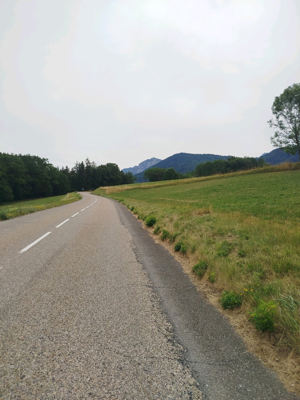
| Beautiful scenery |
| 6 hairpin turns |
| #58 most elevation gain of Haute Savoie |
| #26 longest climb of Haute Savoie |
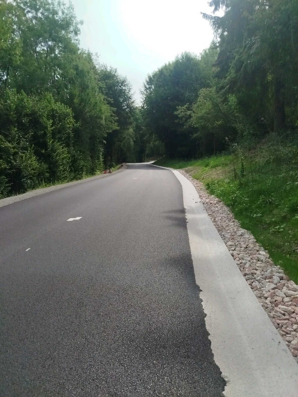
Mont Chalon / Thollon les Mémises from Lac Léman is a climb in the region Haute Savoie. It is 8.4 mi long and bridges 2195 ft of vertical ascent with an average gradient of 5%, resulting in a difficulty score of 426. The top of the ascent is located at 3455 ft above sea level. Climbfinder users shared 2 reviews of this climb and uploaded 4 photos.
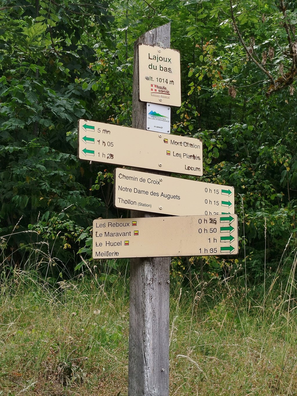
Road names: Route du Chef-Lieu, Route de Rys, Route de Thollon & D 24
4.0 by MaxJ90This is an automatic translation, the original language is: French.Nice climb on a road in good condition. Sometimes a bit too much traffic. Ascent in 2 main stages. 1st part long and steady between 5 and 7 % to the hamlet of Laprau. A 2km fold before the final section. 2km steeper at the end at around 8% before reaching the station.... read more
Welcome! Please activate your account if you would like to share something. Look for the verification email in your inbox.
If you want to upload your photos, you need to create an account. It only takes 1 minute and it's completely free.
Très belle ascension du Mont Chalon, on part de Lugrin et les 7 premiers kilomètres sont très agréables (réguliers et sans partie difficile) avec des épingles.
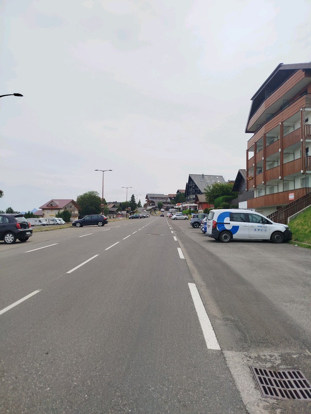
Le reste de la montée est un peu plus anecdotique avec des portions beaucoup plus simples hormis celle avant d'atteindre la station.
Le paysage de la montée est très plaisant (entre le Lac Léman au début, la forêt, les chaînes de montagnes et la station). Il y a tout de même un peu de circulation durant la montée, mais rien de dérangeant.
Nice climb on a road in good condition. Sometimes a bit too much traffic. Ascent in 2 main stages. 1st part long and steady between 5 and 7 % to the hamlet of Laprau. A 2km fold before the final section. 2km steeper at the end at around 8% before reaching the station.
Belle montée sur une route en bonne état. Parfois un peu beaucoup de passage. Montée en 2 temps majeurs. 1ère partie longue et régulière entre 5 et 7 % jusqu'au hameau de Laprau. Replat de 2km avant la partie finale. 2km plus raide sur la fin vers 8% avant d'atteindre la station.
| 5 mph | 01:41:03 |
| 7 mph | 01:11:32 |
| 9 mph | 00:55:45 |
| 12 mph | 00:41:53 |
This page is better in the app