Middenweg is a climb in the region Kroondomein Het Loo. It is 0.5 mi long and bridges 115 ft of vertical ascent with an average gradient of 4.3%, resulting in a difficulty score of 21. The top of the ascent is located at 282 ft above sea level. Climbfinder users shared 4 reviews of this climb and uploaded 14 photos.
This is an automatic translation, the original language is: Dutch.
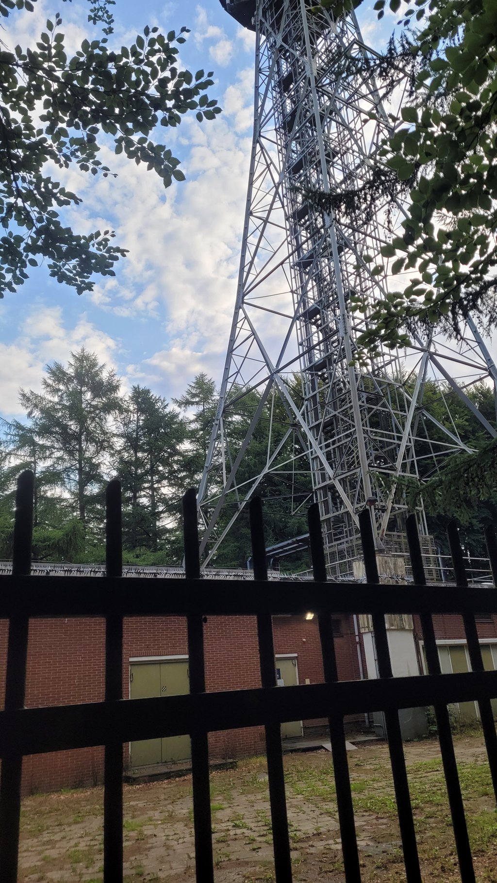
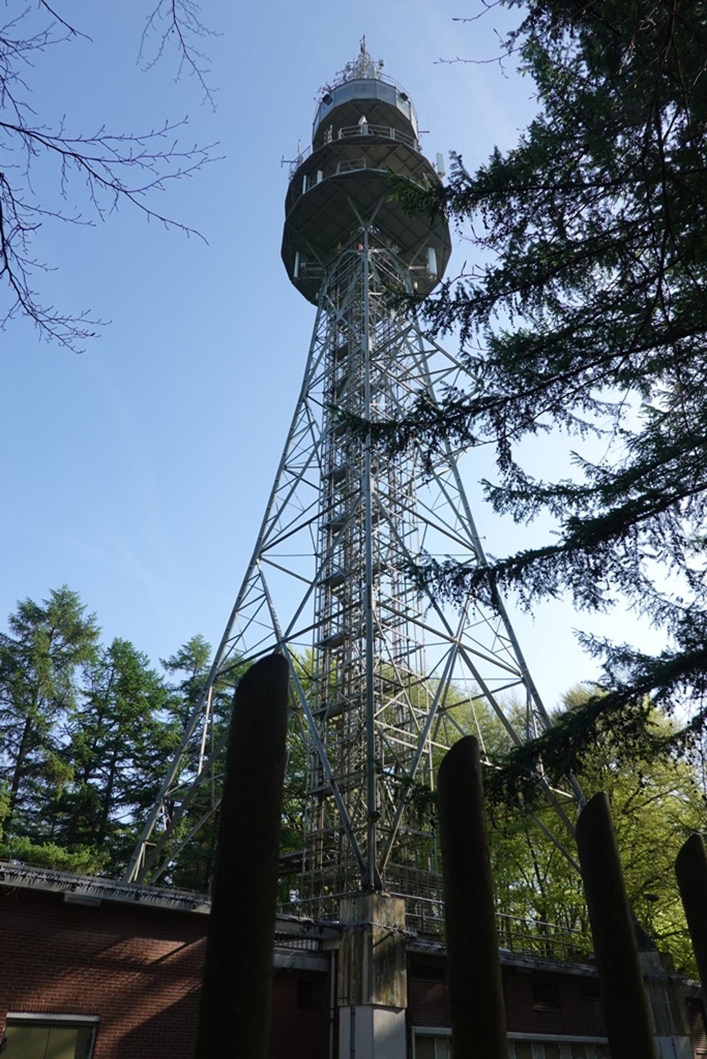
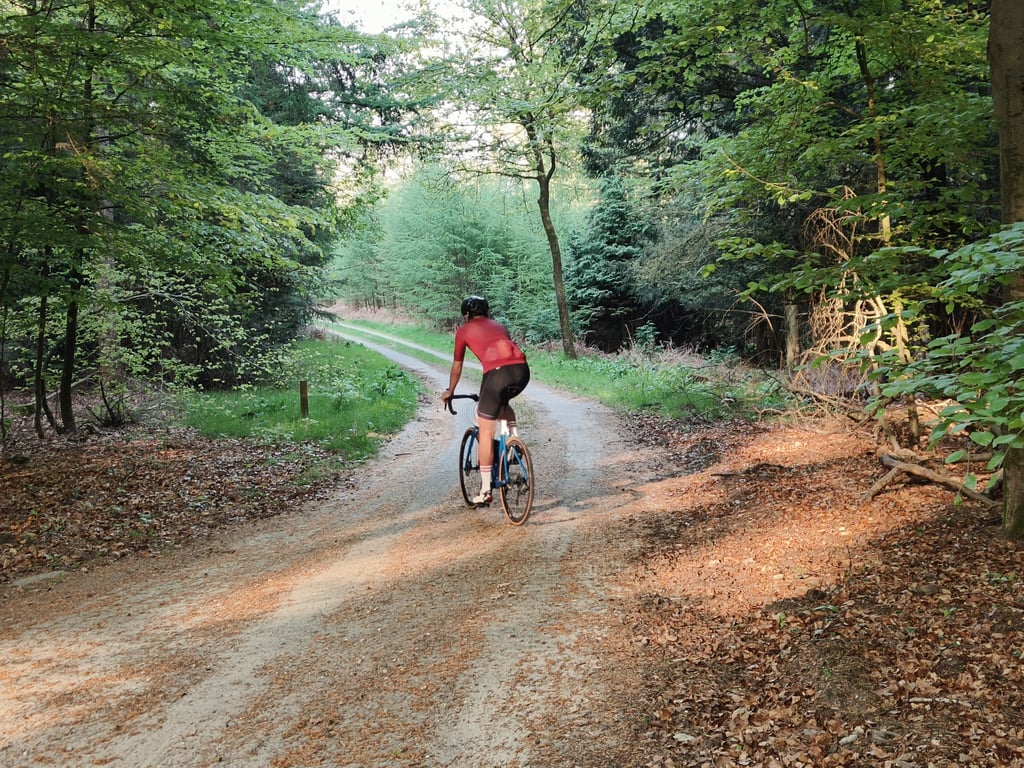
Nice bit of climbing with serious percentages for this part of the Veluwe. Halfway, just before the steep section to the end, I did get mistaken about the loose sand in the bend, I almost made a slide in my enthusiasm to ride on at speed. At the top, apart from the transmitter mast and a dixie, there is little to see, but it is a special bit....read more
Photos (14)
Welcome! Please activate your account if you would like to share something. Look for the verification email in your inbox.
This is an automatic translation, the original language is: Dutch.
Show original
Nice bit of climbing with serious percentages for this part of the Veluwe. Halfway, just before the steep section to the end, I did get mistaken about the loose sand in the bend, I almost made a slide in my enthusiasm to ride on at speed. At the top, apart from the transmitter mast and a dixie, there is little to see, but it is a special bit.
Mooi stukje klimmen met serieuze percentages voor dit deel van de Veluwe. Halverwege, vlak voor het steile stuk naar het eind, verkeek ik me wel op het mulle zand in de bocht, ik maakte bijna een schuiver in mijn enthousiasme om op snelheid door te rijden. Bovenaan is behalve de zendmast en een dixie weinig te zien, maar het is wel een bijzonder stukje.
This is an automatic translation, the original language is: Dutch.
Show original
He's cute! Still, a serious warning. It can be crowded, as it is a frequently used first section of the local MTB route, with the MTB riders often cycling up the full width of the road. So pay very close attention on the descent. Also, down at the T-junction, you come out onto the very busy Apeldoorn Otterlo cycle route. Approach that at walking pace.
Hij is leuk! Toch een serieuze waarschuwing. Hij kan wel degelijk druk zijn, is namelijk een vaak gebruikt eerste deel van de lokale MTB route, waarbij de MTB-ers vaak omhoog over de hele breedte van de weg fietsen. Let dus in de afdaling erg goed op. Ook kom je beneden bij de T-splitsing uit op de erg drukke fietsroute Apeldoorn Otterlo. Benader die stapvoets.
This is an automatic translation, the original language is: Dutch.
Show original
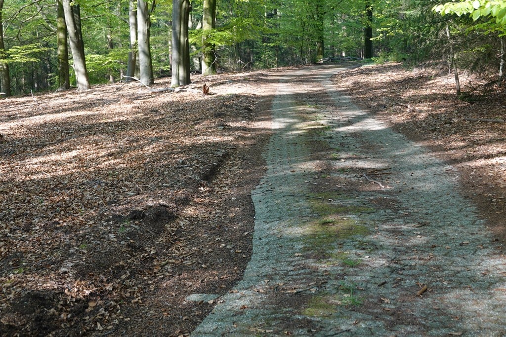
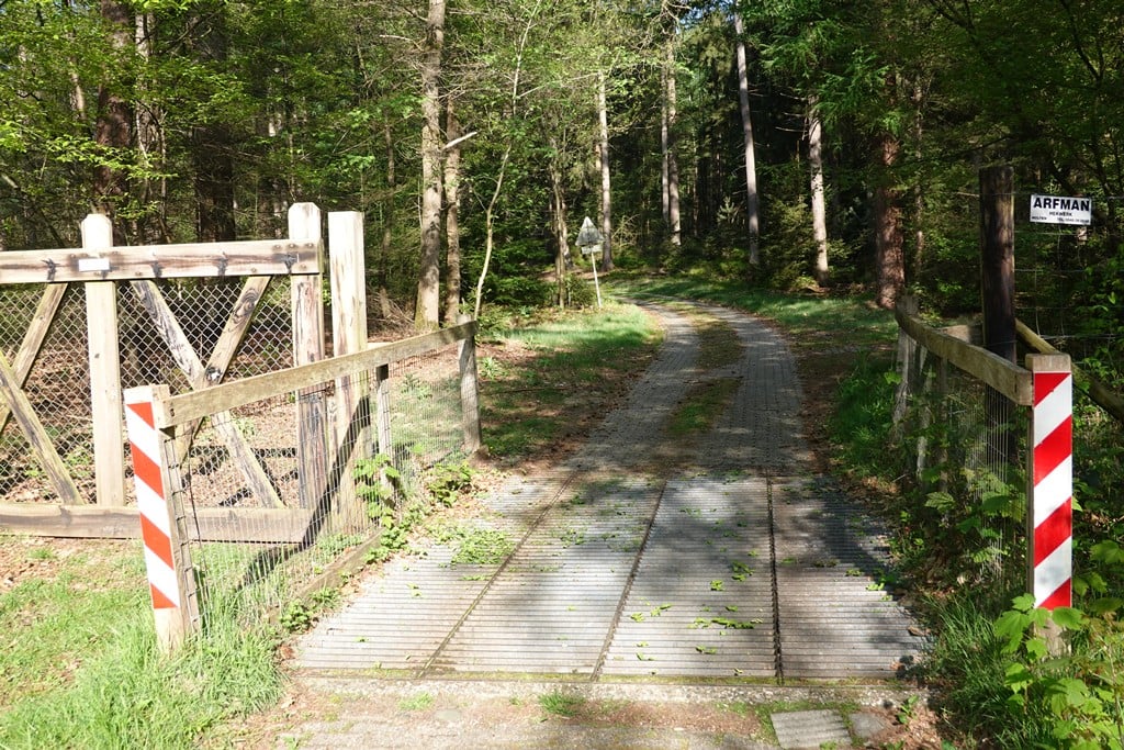
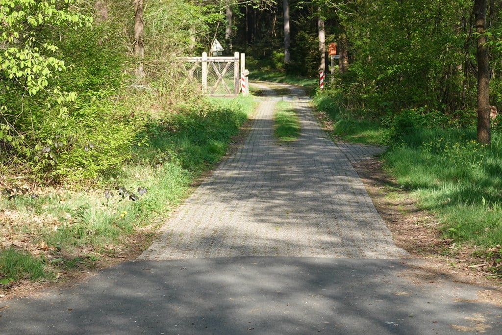
Four stars for a climb to a transmitter mast? Yes, because you won't find anyone here, it's completely hidden, quite a lot of altimeters for this part of the Veluwe and oddly enough, I liked that strange road surface. Nice twist in it too. Just watch out for two things: the pothole in front of the spring grid at the start and the right-angled bend with lots of loose sand in the middle.
Vier sterren voor een klim naar een zendmast? Ja, want je vindt hier niemand, het is compleet verborgen, flink wat hoogtemeters voor dit deel van de Veluwe en gek genoeg vond ik dat vreemde wegdek wel wat hebben. Mooie slinger zit er ook nog in. Pas wel op voor twee dingen: de kuil voor het veerooster in het begin en de haakse bocht met veel mul zand in het midden.
This is an automatic translation, the original language is: Dutch.
Show original
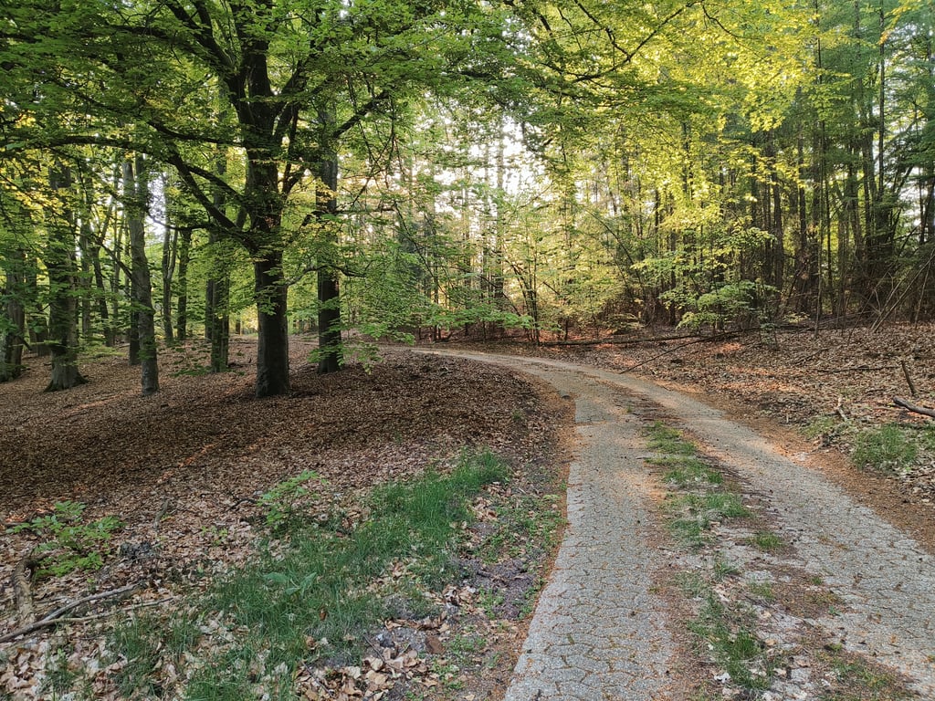
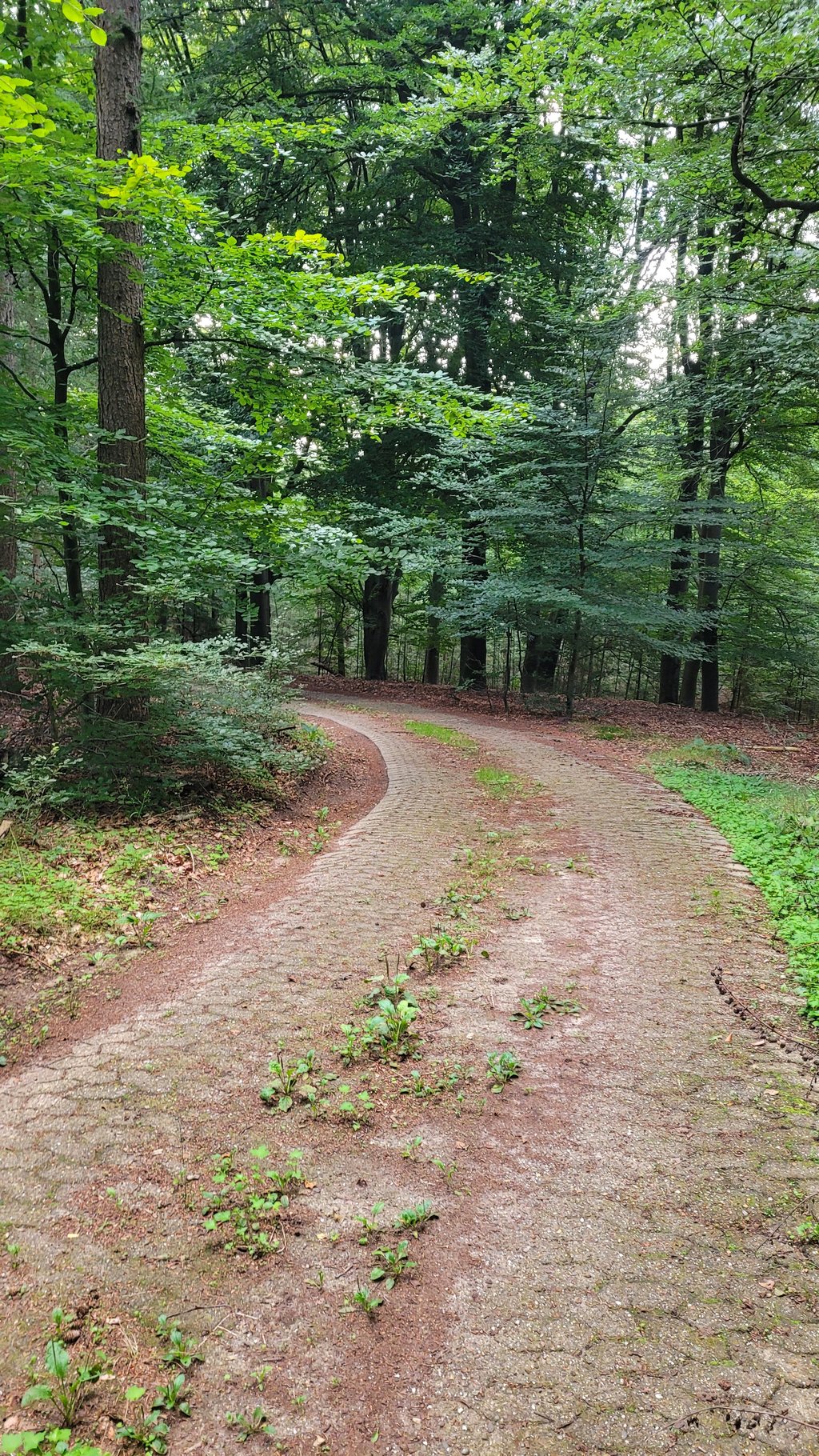
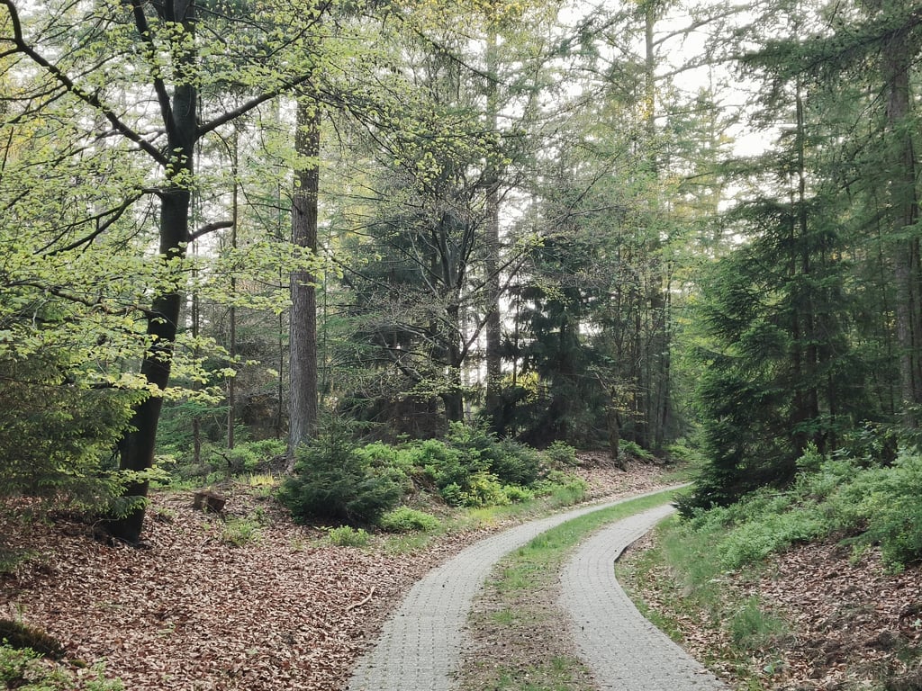
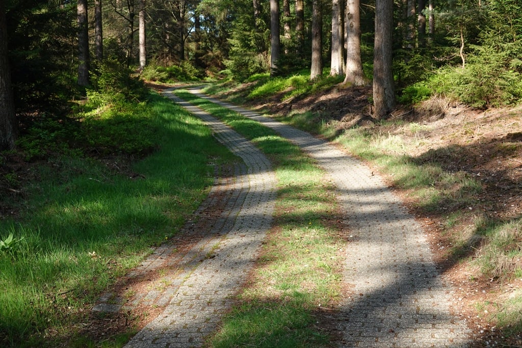
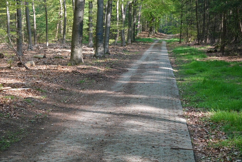
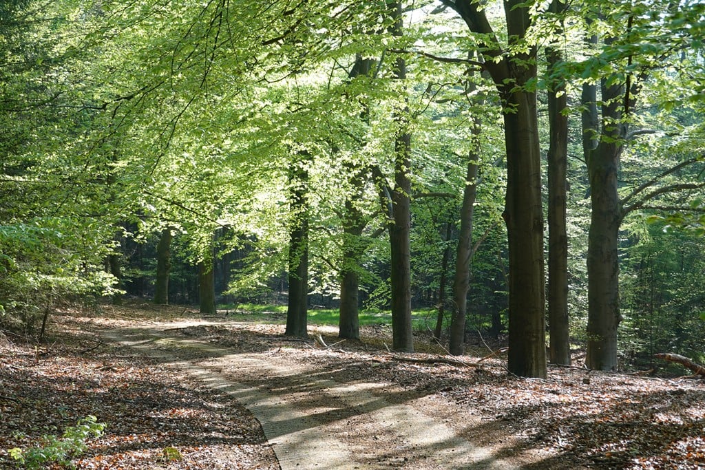
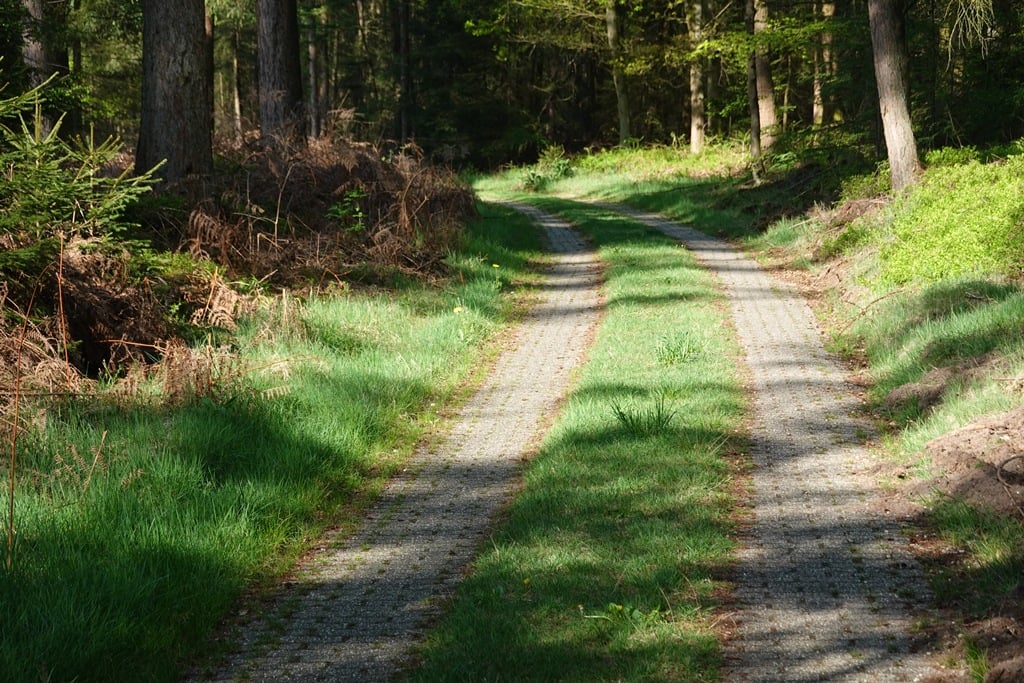
A cobbled road into the forest to a broadcast station that is obviously and fortunately on a hill. The cobbles are in pretty good shape but the middle of the road is grass - but next to it are two clean tracks. The first section meanders nicely and climbs reasonably well. This is followed by a straight section that descends very slightly - until you turn right and the road goes up again. However, the most fun part comes further up as there the percentages go up very steeply (rare for this area) while the road runs nicely along the slope until the entrance to the transmitting station. The whole climb is through the forest and the chances of meeting anyone are nil.
Een klinkerweggetje het bos in naar een zendstation dat uiteraard en gelukkig op een heuvel ligt. De klinkers liggen er redelijk goed bij maar het midden van het weggetje is wel gras - maar daarnaast zijn twee schone sporen. Het eerste deel slingert aardig en loopt redelijk omhoog. Daarna volgt een recht stuk dat heel lichtjes daalt - totdat je rechtsaf gaat en de weg weer omhoog loopt. Het leukste deel komt echter verderop want daar gaan de percentages heel flink omhoog (zeldzaam voor dit gebied) terwijl het weggetje leuk langs de helling loopt tot de ingang van het zendstation. De hele klim loopt door het bos en de kans dat je iemand tegenkomt is nihil.
Share your knowledge. What was the road condition during your ascent?
Traffic
50% 0% 50%
Based on 2 votes
Your experience counts. How much traffic did you encounter during the climb?
Frequently Asked Questions
You don't need special gearing for Middenweg. The slope isn't long or steep enough to require much shifting down. You can conquer this climb on power alone. However, a compact gearing system with a smallest front chainring of 34 and largest rear sprocket of 28 or 30 is always nice if you enjoy cycling uphill. This helps maintain a smooth cadence.
Middenweg is not tough enough to be assigned a mountain category. This means that even untrained cyclists can reach the top without any problems on this climb.
Middenweg is 0.5 mi long.
The average gradient of Middenweg is 4.3%.
Middenweg has a steepest segment with an average gradient of 8.3%.
The summit of Middenweg is at 282 ft.
At a slow pace of 5 mph, it takes about 00:06:11 to climb Middenweg. At 7 mph the time is 00:04:22, and at 9 mph 00:03:24. For the fastest cyclists, 00:02:33 is an achievable time.