Merlenbach is a climb in the region Cologne. It is 1.5 mi long and bridges 466 ft of vertical ascent with an average gradient of 5.9%, resulting in a difficulty score of 102. The top of the ascent is located at 2067 ft above sea level. Climbfinder users shared 1 review/story of this climb and uploaded 5 photos.
This is an automatic translation, the original language is: Dutch.
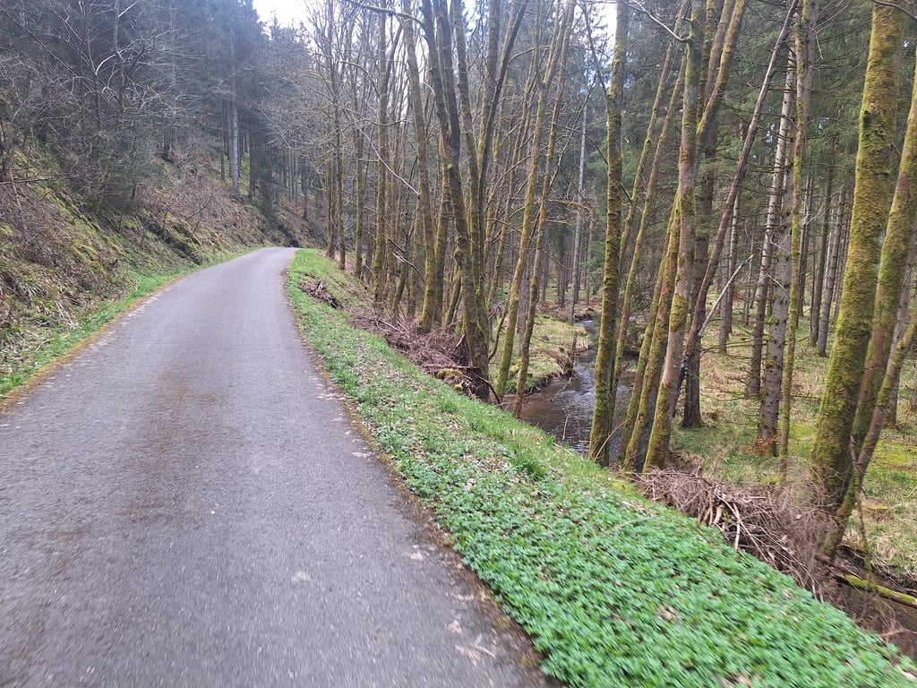
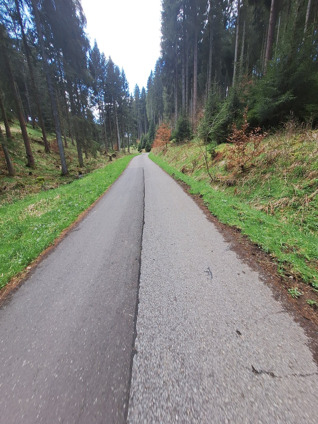
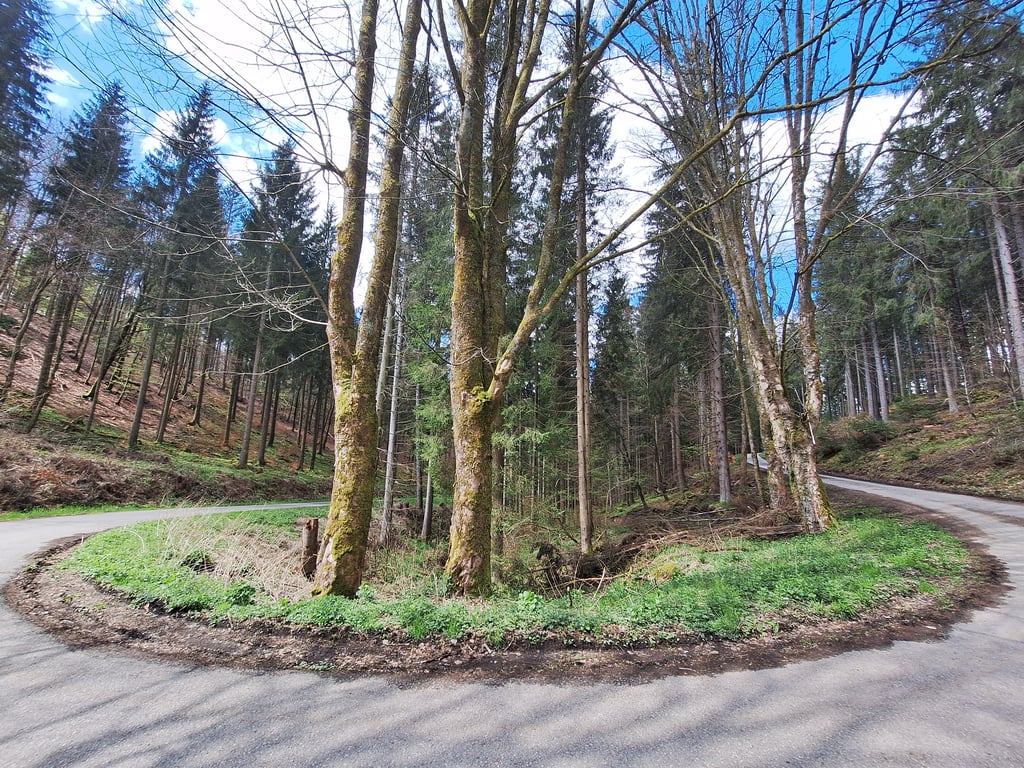
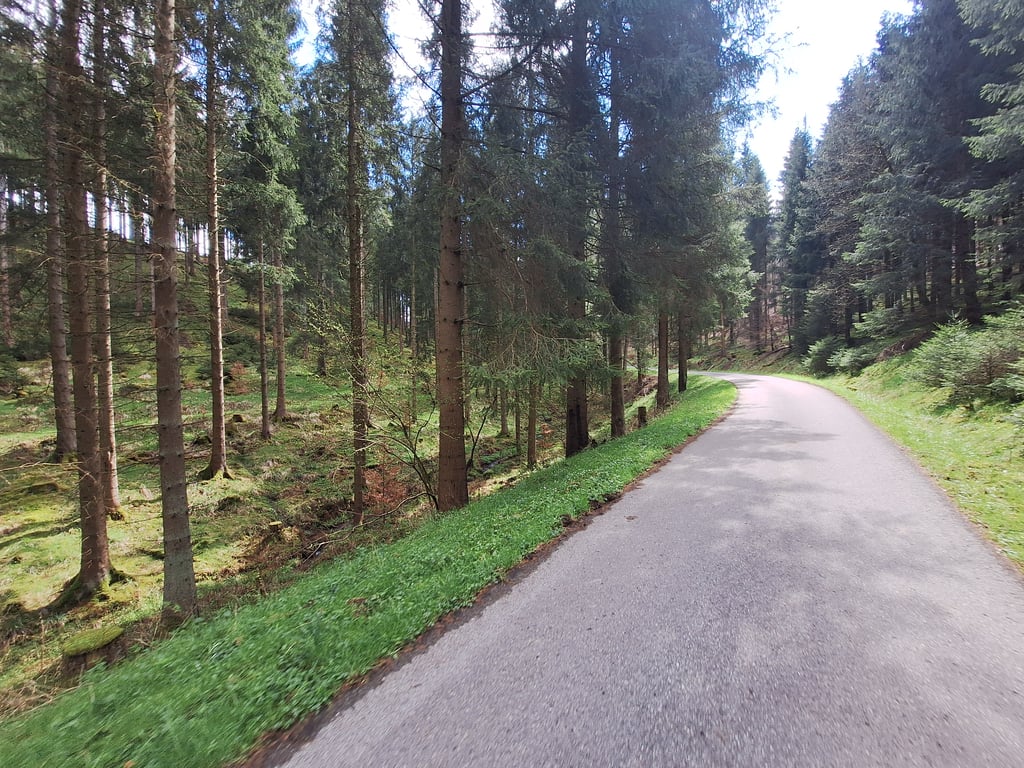
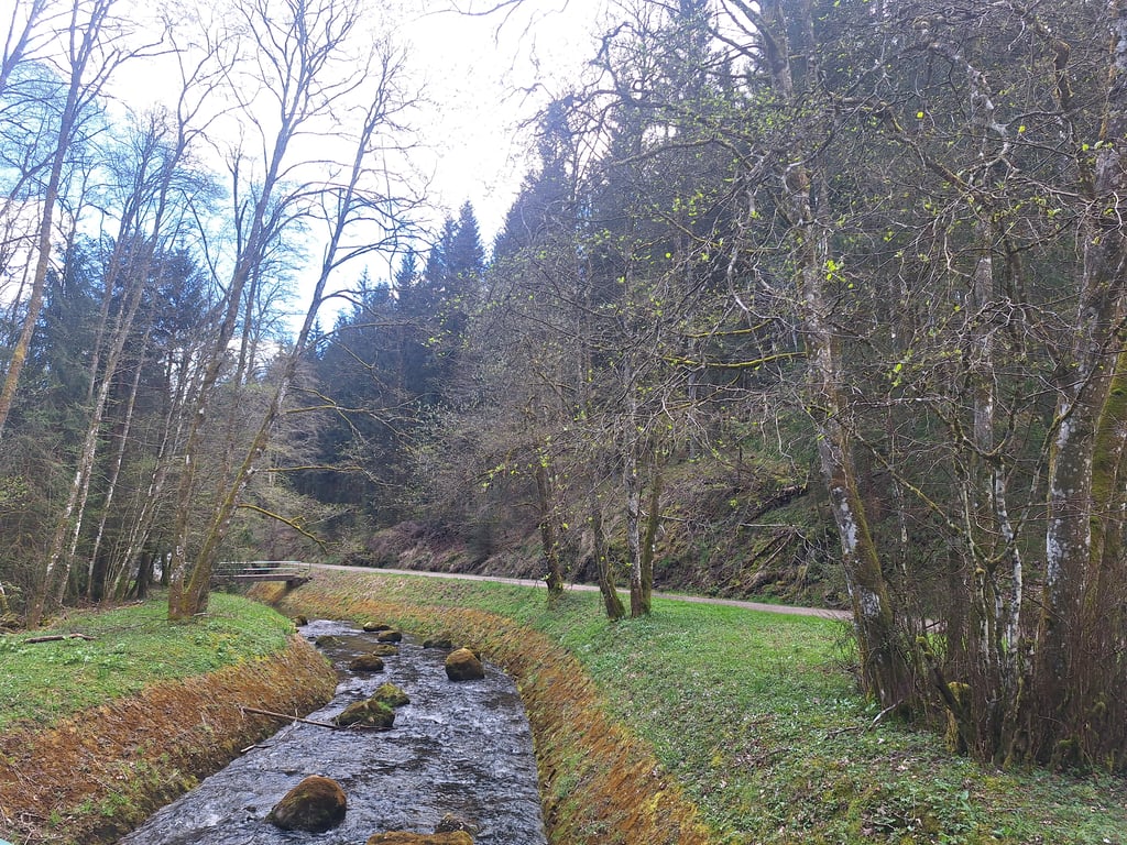
Very nice climb through the forest. Especially the first part (up to the hairpin bend) along the streams and brooks is enjoyable. The road surface is fine and it is very quiet (only accessible to pedestrians and cyclists?).
You can ride a nice loop along the lake. From Hellenthal, you then ride first up to the dam and then along the north side of the lake to the climb. The stretch from the dam to the climb has a relatively rough road surface which is not very pleasant cycling. The descent aft...read more
Photos (5)
Welcome! Please activate your account if you would like to share something. Look for the verification email in your inbox.
This is an automatic translation, the original language is: Dutch.
Show original
Very nice climb through the forest. Especially the first part (up to the hairpin bend) along the streams and brooks is enjoyable. The road surface is fine and it is very quiet (only accessible to pedestrians and cyclists?).
You can ride a nice loop along the lake. From Hellenthal, you then ride first up to the dam and then along the north side of the lake to the climb. The stretch from the dam to the climb has a relatively rough road surface which is not very pleasant cycling. The descent after the climb back towards Hellenthal was (like the climb) well paved.
Hele mooie klim door het bos. Vooral het eerste deel (tot aan de haarspeldbocht) langs de beekjes en stroompjes is genieten. Het wegdek is prima en het is zeer rustig (alleen toegankelijk voor voetgangers en fietsers?).
Je kunt een mooi rondje langs het meer rijden. Vanaf Hellenthal rijdt je dan eerst omhoog naar de dam en dan langs de noordkant van het meer naar de klim. Het stuk vanaf de dam tot aan de klim heeft een relatief ruw wegdek wat niet heel aangenaam fietst. De afdaling na de klim terug richting Hellenthal was (net als de klim) goed geasfalteerd.
Share your knowledge. What was the road condition during your ascent?
Traffic
100% 0% 0%
Based on 1 vote
Your experience counts. How much traffic did you encounter during the climb?
Frequently Asked Questions
You don't need special gearing for Merlenbach. The slope isn't long or steep enough to require much shifting down. You can conquer this climb on power alone. However, a compact gearing system with a smallest front chainring of 34 and largest rear sprocket of 28 or 30 is always nice if you enjoy cycling uphill. This helps maintain a smooth cadence.
Merlenbach is a 4th-category climb. A sprint to the top is usually not an option, and untrained riders will definitely feel it in their legs. For trained cyclists, it is a great training climb.
Merlenbach is 1.5 mi long.
The average gradient of Merlenbach is 5.9%.
Merlenbach has a steepest segment with an average gradient of 9.6%.
The summit of Merlenbach is at 2067 ft.
At a slow pace of 5 mph, it takes about 00:17:59 to climb Merlenbach. At 7 mph the time is 00:12:44, and at 9 mph 00:09:55. For the fastest cyclists, 00:07:27 is an achievable time.