Löschemer Kapelle from Wasserliesch via Löschemerstrasse is a climb in the region Hunsrück. It is 1.8 mi long and bridges 686 ft of vertical ascent with an average gradient of 7.2%, resulting in a difficulty score of 209. The top of the ascent is located at 1125 ft above sea level. Climbfinder users shared 2 reviews of this climb and uploaded 8 photos.
Road names: Marktplatz & Löschemer Straße
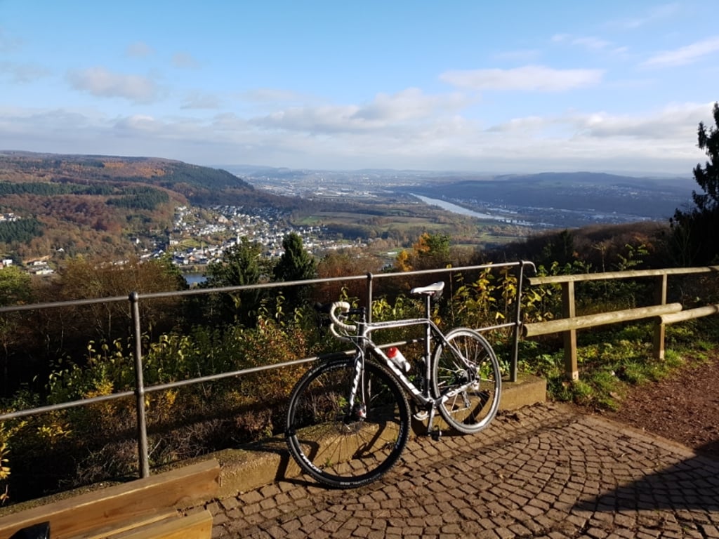
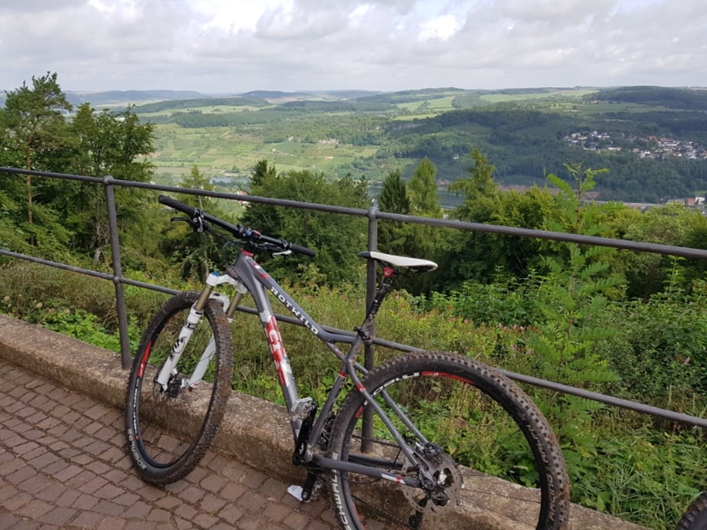
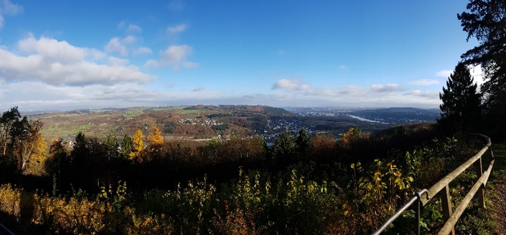
4.0 by elbowboyThis is an automatic translation, the original language is: German.The route to Löschemer Kapelllchen is definitely worthwhile. Ideally via the Roman road in Wasserliesch, then either via the Angelborn (turn right), where it is less steep overall and you reach the chapel via the orchid reserve, or straight on (last section a little steeper, 10%+) a little shorter. The last kilometre is the same on both routes. Wonderful view of Trier and the Moselle from the chapel. Average asphalt but easy to cycle on a road bike. Hardly any car traffic. Very beautiful scen... read more

Welcome! Please activate your account if you would like to share something. Look for the verification email in your inbox.
If you want to upload your photos, you need to create an account. It only takes 1 minute and it's completely free.
The route to Löschemer Kapelllchen is definitely worthwhile. Ideally via the Roman road in Wasserliesch, then either via the Angelborn (turn right), where it is less steep overall and you reach the chapel via the orchid reserve, or straight on (last section a little steeper, 10%+) a little shorter. The last kilometre is the same on both routes. Wonderful view of Trier and the Moselle from the chapel. Average asphalt but easy to cycle on a road bike. Hardly any car traffic. Very beautiful scenery!
Die Strecke zum Löschemer Kapelllchen lohnt sich auf jeden Fall. Idealerweise über die Römerstraße in Wasserliesch, dann entweder über den Angelborn (rechts ab), wo es insgesamt weniger steil ist und man über das Orchideen Schutzgebiet an die Kapelle gelangt oder geradeaus (letzter Teil etwas steiler, 10%+) etwas kürzer. Der letzte Kilometer ist bei beiden Strecken gleich. Vom Kapellchen wunderbarer Blick auf Trier und die Mosel. Asphalt mittelmäßig aber gut mit dem Rennrad befahrbar. Kaum Autoverkehr. Landschaftlich sehr schön !
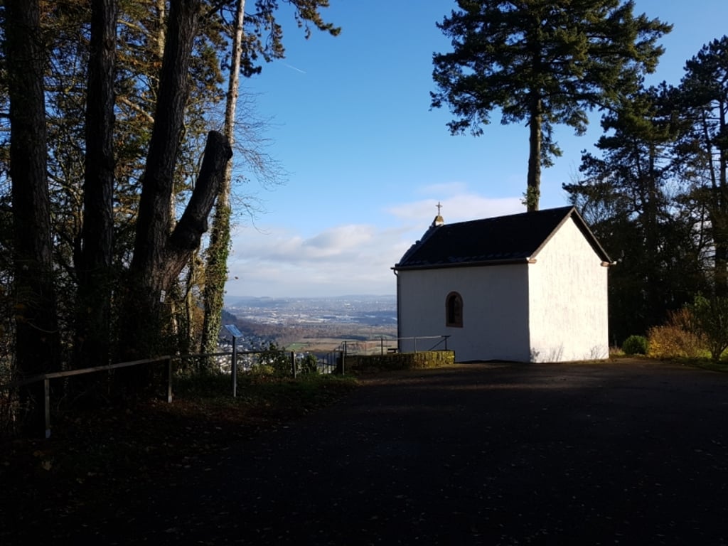
The path up to the Löschem Chapel is rewarded with great views. The first few metres through Wasserliesch pass under a railway bridge and then there is a steep climb. After a section through the forest, you pass meadows and climb for half a kilometre at 10%. Shortly before the last car park, turn left to reach the chapel, which is quite flat. But be careful: a few roots have lifted the tarmac here. You should drive slowly here. The view of Konz and Trier is legendary. You should take some time to enjoy the view.
Der Weg hinauf zur Löschemer Kapelle wird mit tollen Aussichten belohnt. Die ersten Meter durch Wasserliesch gehen unter einer Eisenbahnsbrücke hindurch und dann kommt auch schon ein starker Anstieg. Nach einem Stück durch den Wald kommt man an Wiesen vorbei und geht es über einen halben Kilometer mit 10% hoch. Kurz vor dem letzten Parkplatz biegt man links ab, um recht flach zur Kapelle zu kommen. Aber Achtung: hier haben ein paar Wurzeln die Teerdecke angehoben. Hier sollte man langsam fahren. Die Aussicht auf Konz und Trier ist legendär. Man sollte sich etwas Zeit nehmen, um des Ausblick zu genießen.
| 5 mph | 00:21:42 |
| 7 mph | 00:15:22 |
| 9 mph | 00:11:58 |
| 12 mph | 00:09:00 |
This page is better in the app