Lettenberg from Kemmel is a climb in the region West-Flemish Hills. It is 0.5 mi long and bridges 125 ft of vertical ascent with an average gradient of 4.9%, resulting in a difficulty score of 22. The top of the ascent is located at 318 ft above sea level. Climbfinder users shared 5 reviews of this climb and uploaded 5 photos.
This is an automatic translation, the original language is: Dutch.
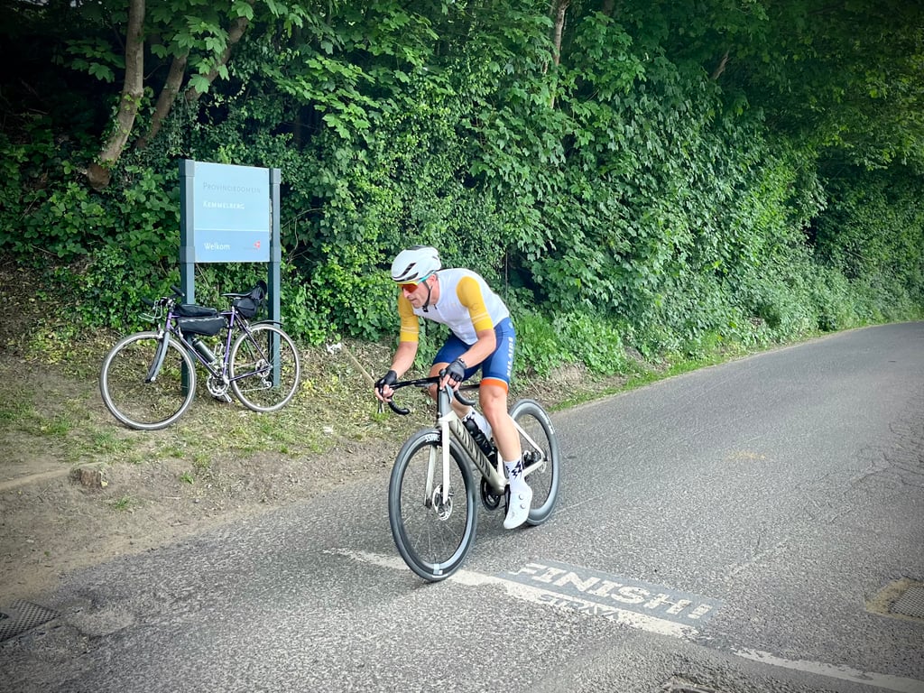
Short climb behind the Kemmelberg through the forest. Smooth start but with another punchy final section that just surprises you. Beautiful, quiet surroundings and good asphalt, especially a nice extra after the Kemmel....read more
Photos (5)
Welcome! Please activate your account if you would like to share something. Look for the verification email in your inbox.
This is an automatic translation, the original language is: Dutch.
Show original
Short climb behind the Kemmelberg through the forest. Smooth start but with another punchy final section that just surprises you. Beautiful, quiet surroundings and good asphalt, especially a nice extra after the Kemmel.
Korte klim achter de Kemmelberg door het bos. Glooiend begin maar met nog een pittig slotstuk dat je net verrast. Mooie, rustige omgeving en goed asfalt, vooral een leuk extraatje na de Kemmel.
This is an automatic translation, the original language is: French.
Show original
I got lost looking for the way to Mont Kemmel...
But, as it climbs a bit everywhere around here, I got there. If I've understood correctly, it's the Baneberg, but a lot of Berg...
In any case, the road is nice and you meet a lot of cyclists. It's short and intense.
Je me suis perdu en cherchant le chemin du Mont Kemmel…
Mais, comme ça grimpe un peu partout par ici, je suis arrivé là. Si j’ai bien compris, c’est le Baneberg, mais, beaucoup de Berg…
En tout cas, la route est sympathique et on croise beaucoup de cyclistes. C’est court et intense.
Share your knowledge. What was the road condition during your ascent?
Traffic
100% 0% 0%
Based on 1 vote
Your experience counts. How much traffic did you encounter during the climb?
Frequently Asked Questions
You don't need special gearing for Lettenberg from Kemmel. The slope isn't long or steep enough to require much shifting down. You can conquer this climb on power alone. However, a compact gearing system with a smallest front chainring of 34 and largest rear sprocket of 28 or 30 is always nice if you enjoy cycling uphill. This helps maintain a smooth cadence.
Lettenberg from Kemmel is not tough enough to be assigned a mountain category. This means that even untrained cyclists can reach the top without any problems on this climb.
Lettenberg from Kemmel is 0.5 mi long.
The average gradient of Lettenberg from Kemmel is 4.9%.
Lettenberg from Kemmel has a steepest segment with an average gradient of 8.5%.
The summit of Lettenberg from Kemmel is at 318 ft.
At a slow pace of 5 mph, it takes about 00:05:46 to climb Lettenberg from Kemmel. At 7 mph the time is 00:04:04, and at 9 mph 00:03:10. For the fastest cyclists, 00:02:23 is an achievable time.
Lettenberg from Kemmel is located in the region Westhoek in Belgium.