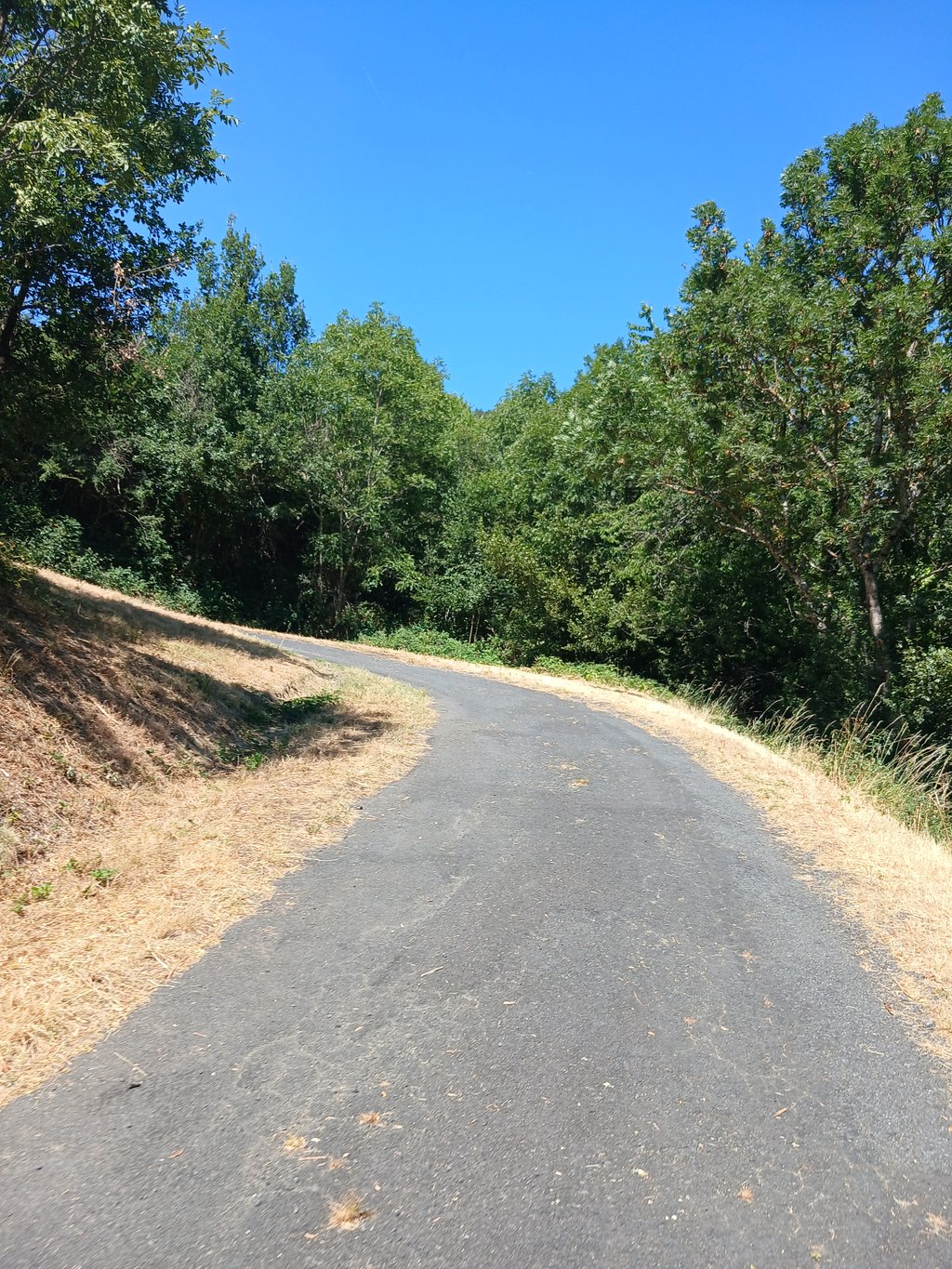
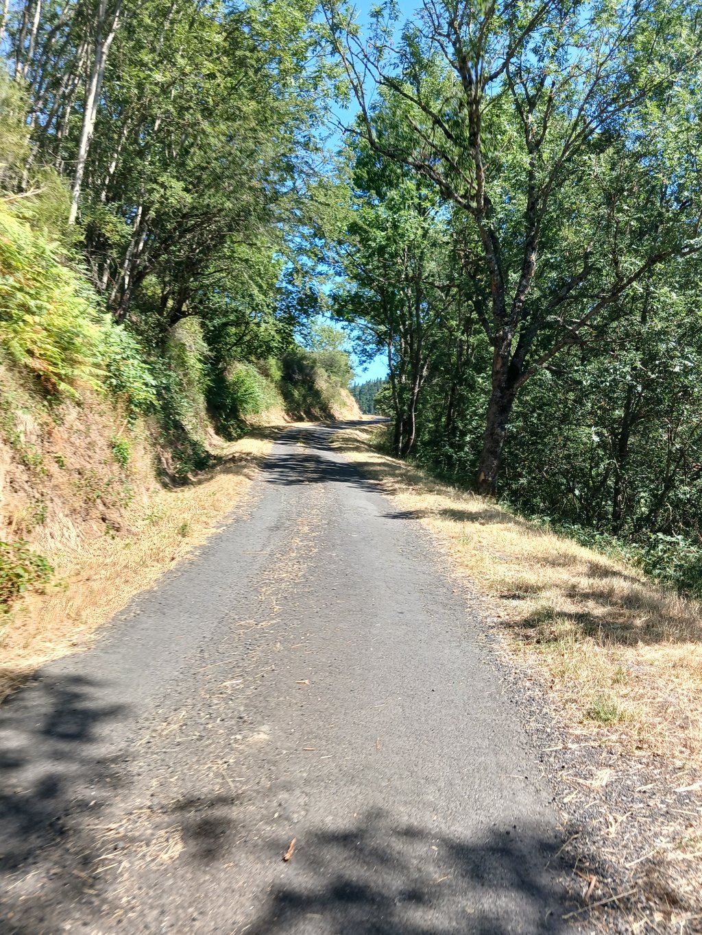
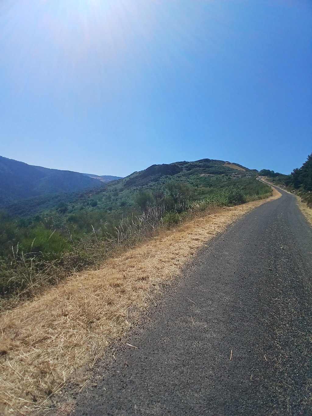
Lesbinières from Desges is a climb in the region Haute-Loire. It is 3.7 mi long and bridges 1217 ft of vertical ascent with an average gradient of 6.2%, resulting in a difficulty score of 377. The top of the ascent is located at 3533 ft above sea level. Climbfinder users shared 1 review/story of this climb and uploaded 3 photos.
This is an automatic translation, the original language is: Dutch.
What a brutal climb. You ride all the way to the end of the valley, along a small stream. Then you start a very steep climb that lasts more than 5 km. It’s best to stay in the saddle, because there’s a lot of gravel on the road, and it gets even steeper, especially in the turns. Descending is strongly discouraged! Once you see the village, you’ll have one last little hill to tackle, after which you can ride out onto the flatter section. A wooded area with a few beautiful views....read more
Photos (3)
Welcome! Please activate your account if you would like to share something. Look for the verification email in your inbox.
This is an automatic translation, the original language is: Dutch.
Show original
What a brutal climb. You ride all the way to the end of the valley, along a small stream. Then you start a very steep climb that lasts more than 5 km. It’s best to stay in the saddle, because there’s a lot of gravel on the road, and it gets even steeper, especially in the turns. Descending is strongly discouraged! Once you see the village, you’ll have one last little hill to tackle, after which you can ride out onto the flatter section. A wooded area with a few beautiful views.
Wat een beest van een klim. Je rijdt helemaal tot het einde van het dal, langs een klein riviertje. Dan begin je voor meer dan 5km zeer steil te klimmen. Blijven zitten is wel de boodschap, want er ligt veel gravel op het wegdek en zeker in de bochten wordt het nog veel steiler. Afdalen valt sterk af te raden! Als je het dorpje ziet moet je nog een laatste bultje over en kan je nadien uitrijden op het vlakkere einde. Beboste omgeving met een paar mooie zichten.
Share your knowledge. What was the road condition during your ascent?
Traffic
0% 0% 0%
Based on 0 votes
Your experience counts. How much traffic did you encounter during the climb?
Frequently Asked Questions
Lesbinières from Desges is a challenging ascent. For this type of climbing, we recommend mountain gearing, specifically a compact system. This means a small front chainring of 34 teeth, combined with a rear cassette where, depending on your level, strength, and experience, you choose a sprocket with 30, 32, or even 34 teeth. Remember that a smooth cadence is always more efficient!
Lesbinières from Desges is a serious climb and falls into the 2nd category. With a good basic fitness level, even without much cycling experience, you can complete this climb just fine. However, a bike with climbing gears is a must. Without experience or training, it will be really tough – but that’s part of the challenge!
Lesbinières from Desges is 3.7 mi long.
The average gradient of Lesbinières from Desges is 6.2%.
Lesbinières from Desges has a steepest segment with an average gradient of 24.9%.
The summit of Lesbinières from Desges is at 3533 ft.
At a slow pace of 5 mph, it takes about 00:44:37 to climb Lesbinières from Desges. At 7 mph the time is 00:31:35, and at 9 mph 00:24:36. For the fastest cyclists, 00:18:29 is an achievable time.
Lesbinières from Desges is located in the region Haute-Loire in France.


 Continue with Google
 Continue with Facebook
 Continue with Apple
