View on map
© MapLibre | OpenStreetMap contributors
1%
2%
4%
6%
8%
10%
12%
15%
20%

Plan du Mont from Les Cernix via Les Villes Dessus

3.7
3 reviews | Elevation profile | 11 photos
Tips nearby
Plan du Mont from Les Cernix via Les Villes Dessus
Your achievable time
Calculating based on your best performances...
Relaxed
Maximum
W/kg
W/kg
W/kg
Analyze your climbing performance
Detailed insight into your climbing performance & automatically check off climbs
Based on your best performances.
Your best attempt:
Number of attempts:
Elevation profile Plan du Mont from Les Cernix via Les Villes Dessus

Statistics

Difficulty points 558
Length 4.4 mi
Average gradient 8.5%
Steepest segment 11.9%
Total ascent 1988 ft

Short recap

Beautiful scenery
Hidden gem
21 hairpin turns
#53 average steepest climb of Savoie
Feedback about this climb?
Show climbs nearby Export to GPS device

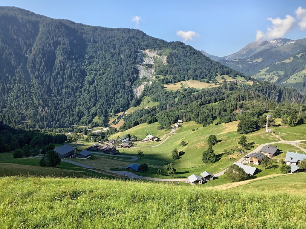
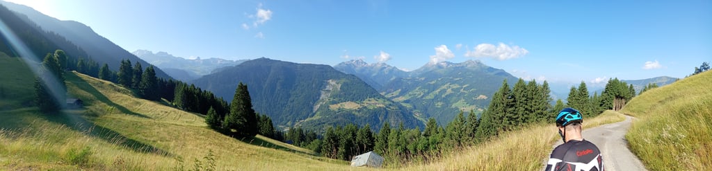
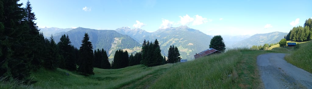
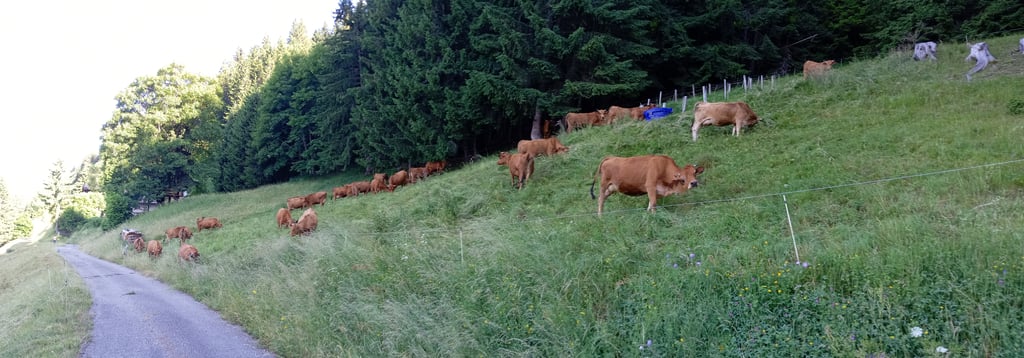
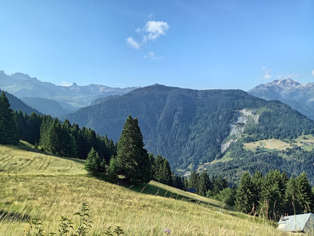
Plan du Mont from Les Cernix via Les Villes Dessus is a climb in the region Savoie. It is 4.4 mi long and bridges 1988 ft of vertical ascent with an average gradient of 8.5%, resulting in a difficulty score of 558. The top of the ascent is located at 4859 ft above sea level. Climbfinder users shared 3 reviews of this climb and uploaded 11 photos.

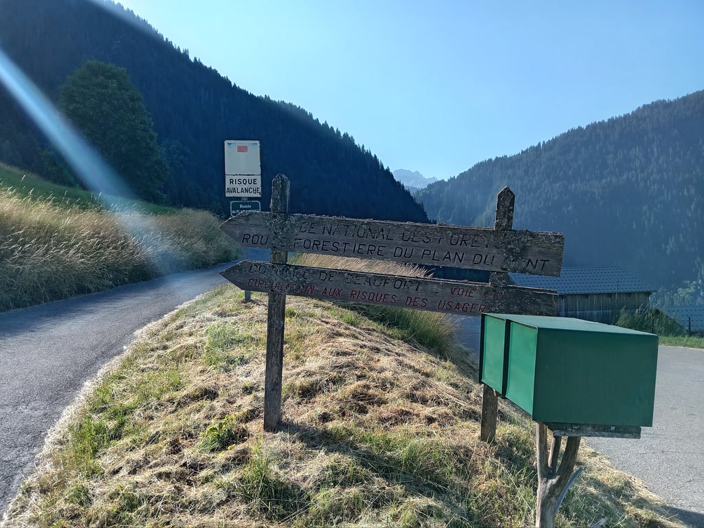
Road names: Route des Villes & Route du Plan du Mont
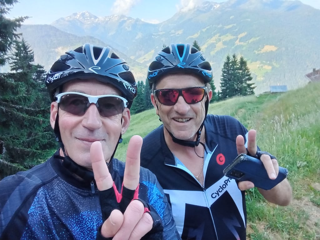
This is an automatic translation, the original language is: French.
Made on 24 June 2025 in the fresh air from Beaufort. Like most of the climbs in the sector, this one really starts in the heart of the village of Beaufort. This adds another 2.7 km and a bit more ascent. The Rte is fine until it intersects with the Rte de Plan du Mont, where the steep gradients begin. The magnificent scenery of the Beaufortain and the many switchbacks make you forget the harshness of the effort. On the way back to the valley, you can do the loop via Les Curtillets. ... read more

Photos (11)

Plan du Mont from Les Cernix via Les Villes Dessus
transparant thumb

Your uploads (max 4)

Welcome! Please activate your account if you would like to share something. Look for the verification email in your inbox.

If you want to upload your photos, you need to create an account. It only takes 1 minute and it's completely free.

  • Receive free climbfinder goodies for your reviews & photos.
  • Create a bucket list and check off conquered climbs.
  • Add missing climbs.
Continue with GoogleContinue with Google Continue with FacebookContinue with Facebook Continue with AppleContinue with Apple Sign up with email
By signing up you agree to our terms of service and confirm that you have read our privacy & content policy.

Reviews (3)

5.0
4.0
3.0
2.0
1.0
sergenavetat
11 Mo 4.0
This is an automatic translation, the original language is: French. Show original

Made on 24 June 2025 in the fresh air from Beaufort.
Like most of the climbs in the sector, this one really starts in the heart of the village of Beaufort.
This adds another 2.7 km and a bit more ascent.
The Rte is fine until it intersects with the Rte de Plan du Mont, where the steep gradients begin.
The magnificent scenery of the Beaufortain and the many switchbacks make you forget the harshness of the effort.
On the way back to the valley, you can do the loop via Les Curtillets.

Fait le 24 juin 2025 à la fraîche depuis Beaufort.
Cette montée comme la plupart de celles du secteur commence réellement au cœur du village de Beaufort.
Ce qui ajoute 2,7 km supplémentaire et un peu plus de dénivelé.
La Rte est bonne jusqu'à l'intersection avec celle de Plan du Mont où commence les forts pourcenatges.
Les paysages magnifiques du Beaufortain ainsi que les très nombreux lacets font oublier la rudesse de l'effort.
Possibilité pour le retour dans la vallée de faire la boucle par les Curtillets .

Plan du Mont from Les Cernix via Les Villes Dessus
Dashboard
HerrWeed
1 y 4.0

A must climb if you're in the area. 21 tight, hairpin turns. Beautiful ride.

Dashboard
Fun
2 y 3.0

Hard climb where the first kilometers are the easiest.

Plan du Mont from Les Cernix via Les Villes Dessus
Dashboard

Climbing times

5 mph 00:53:37
7 mph 00:37:58
9 mph 00:29:35
12 mph 00:22:13

Road surface condition

0% 0% 0%
Based on 0 votes
Share your knowledge. What was the road condition during your ascent?

Traffic

0% 0% 0%
Based on 0 votes
Your experience counts. How much traffic did you encounter during the climb?

Frequently Asked Questions

Plan du Mont from Les Cernix via Les Villes Dessus is a challenging ascent. For this type of climbing, we recommend mountain gearing, specifically a compact system. This means a small front chainring of 34 teeth, combined with a rear cassette where, depending on your level, strength, and experience, you choose a sprocket with 30, 32, or even 34 teeth. Remember that a smooth cadence is always more efficient!

Plan du Mont from Les Cernix via Les Villes Dessus is a serious climb and falls into the 2nd category. With a good basic fitness level, even without much cycling experience, you can complete this climb just fine. However, a bike with climbing gears is a must. Without experience or training, it will be really tough – but that’s part of the challenge!

Plan du Mont from Les Cernix via Les Villes Dessus is 4.4 mi long.

The average gradient of Plan du Mont from Les Cernix via Les Villes Dessus is 8.5%.

Plan du Mont from Les Cernix via Les Villes Dessus has a steepest segment with an average gradient of 11.9%.

The summit of Plan du Mont from Les Cernix via Les Villes Dessus is at 4859 ft.

At a slow pace of 5 mph, it takes about 00:53:37 to climb Plan du Mont from Les Cernix via Les Villes Dessus. At 7 mph the time is 00:37:58, and at 9 mph 00:29:35. For the fastest cyclists, 00:22:13 is an achievable time.

Plan du Mont from Les Cernix via Les Villes Dessus is located in the region Savoie in France.

This page is better in the app

Climbfinder app
Climbfinder
(Free)
Open