Tips nearby


| Beautiful scenery |
| Hidden gem |
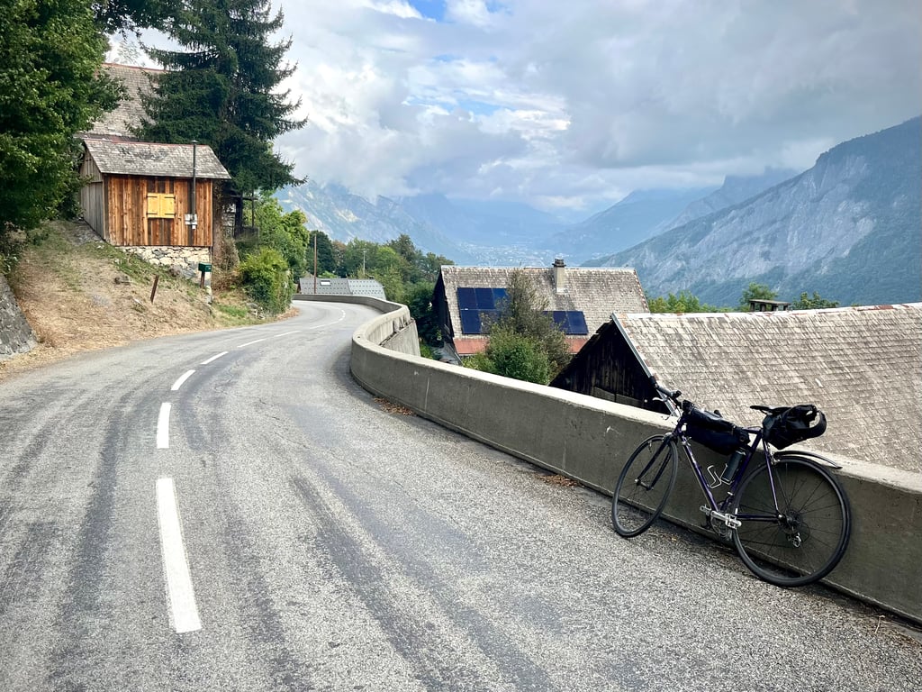
| 19 hairpin turns |
| #46 toughest climb of La Maurienne |
| #38 most elevation gain of La Maurienne |
| #37 longest climb of La Maurienne |
| #47 average steepest climb of La Maurienne |
Léard from Saint Jean de Maurienne is a climb in the region La Maurienne. It is 6.9 mi long and bridges 2635 ft of vertical ascent with an average gradient of 7.2%, resulting in a difficulty score of 606. The top of the ascent is located at 4560 ft above sea level. Climbfinder users shared 4 reviews of this climb and uploaded 31 photos.
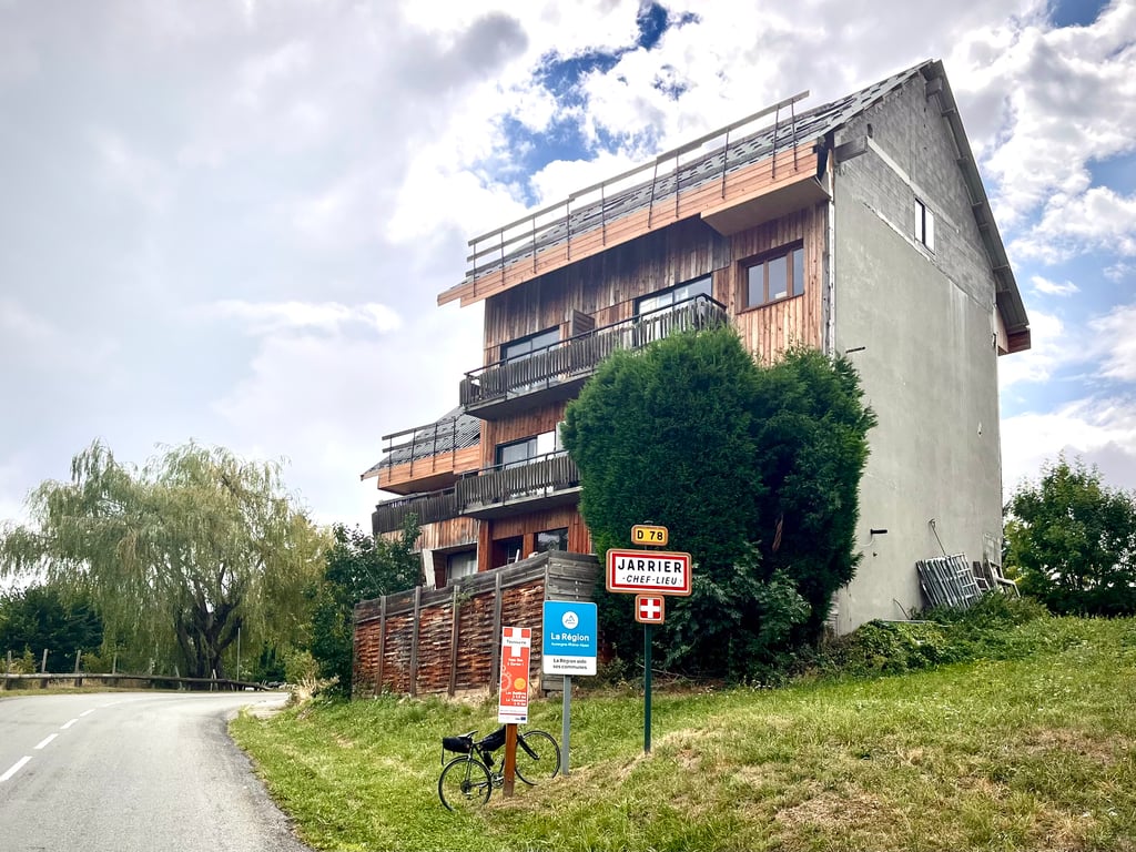
Road name: D78d
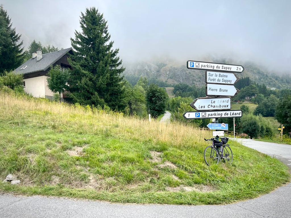
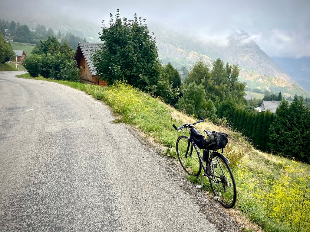
2.0 by CromagnonThis is an automatic translation, the original language is: French.I didn't really enjoy the climb. It must be said that today is a day of rain and mist... The road is good. The bends are pleasant. Most of the climb has gentle gradients, but there are occasional short but steep ramps. I was rather bored: after all, there's not much to see over the 12km! In fact, the signs say "parking de Léard"... It's one of those climbs that leaves you with no memory.... read more
Welcome! Please activate your account if you would like to share something. Look for the verification email in your inbox.
If you want to upload your photos, you need to create an account. It only takes 1 minute and it's completely free.
I didn't really enjoy the climb.
It must be said that today is a day of rain and mist...
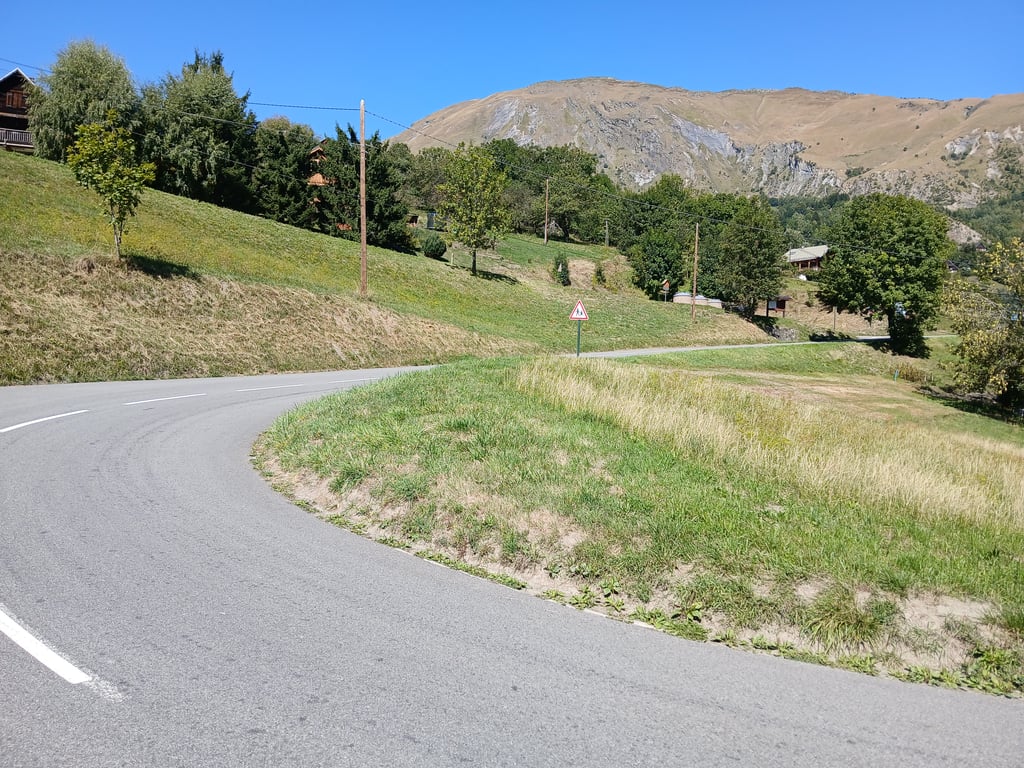
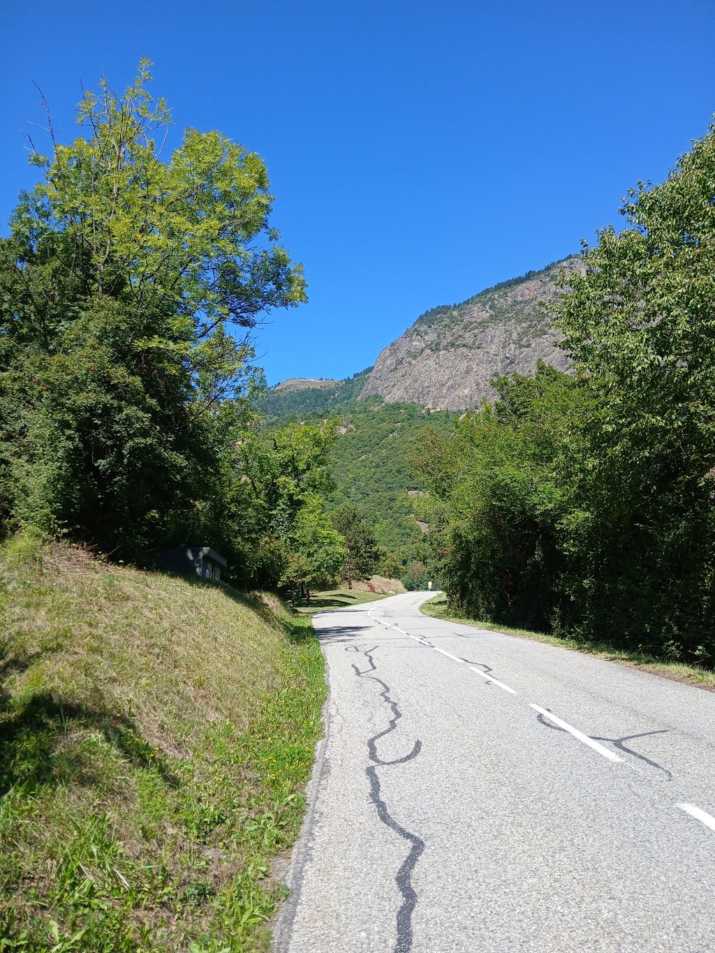
The road is good. The bends are pleasant. Most of the climb has gentle gradients, but there are occasional short but steep ramps.
I was rather bored: after all, there's not much to see over the 12km!
In fact, the signs say "parking de Léard"...
It's one of those climbs that leaves you with no memory.
Je n’ai pas franchement apprécié cette montée.
Il faut dire qu’aujourd’hui était un jour de pluie et de brume…
La route est bonne. Les virages sont plaisants. La majeure partie de l’ascension propose des pourcentages doux, parfois ponctués de petites rampes courtes mais bien pentues.
Je me suis plutôt ennuyé : il n’y a tout de même pas grand chose d’ébouriffant à voir pendant ces 12km !
D’ailleurs, les panneaux indiquent « parking de Léard »…
Une de ces côtes qui ne laissent aucun souvenir.
Nice climb of the same steepness as the well-known cols in the region, but of a different type, through streets between houses on the hill. If gravel bike, you have the option to continue climbing on a gravel road up to the Chapelle des Chambeaux at 1706m, passing beautiful landscapes for mountain walks.
Toffe beklimming van dezelfde steiltegraad als de bekende cols in de streek, maar van een ander type, door straten tussen woningen op de heuvel. Indien gravelfiets heb je de mogelijkheid om over een gravelweg verder te klimmen tot aan de Chapelle des Chambeaux op 1706m, langs mooie landschappen voor bergwandelingen.
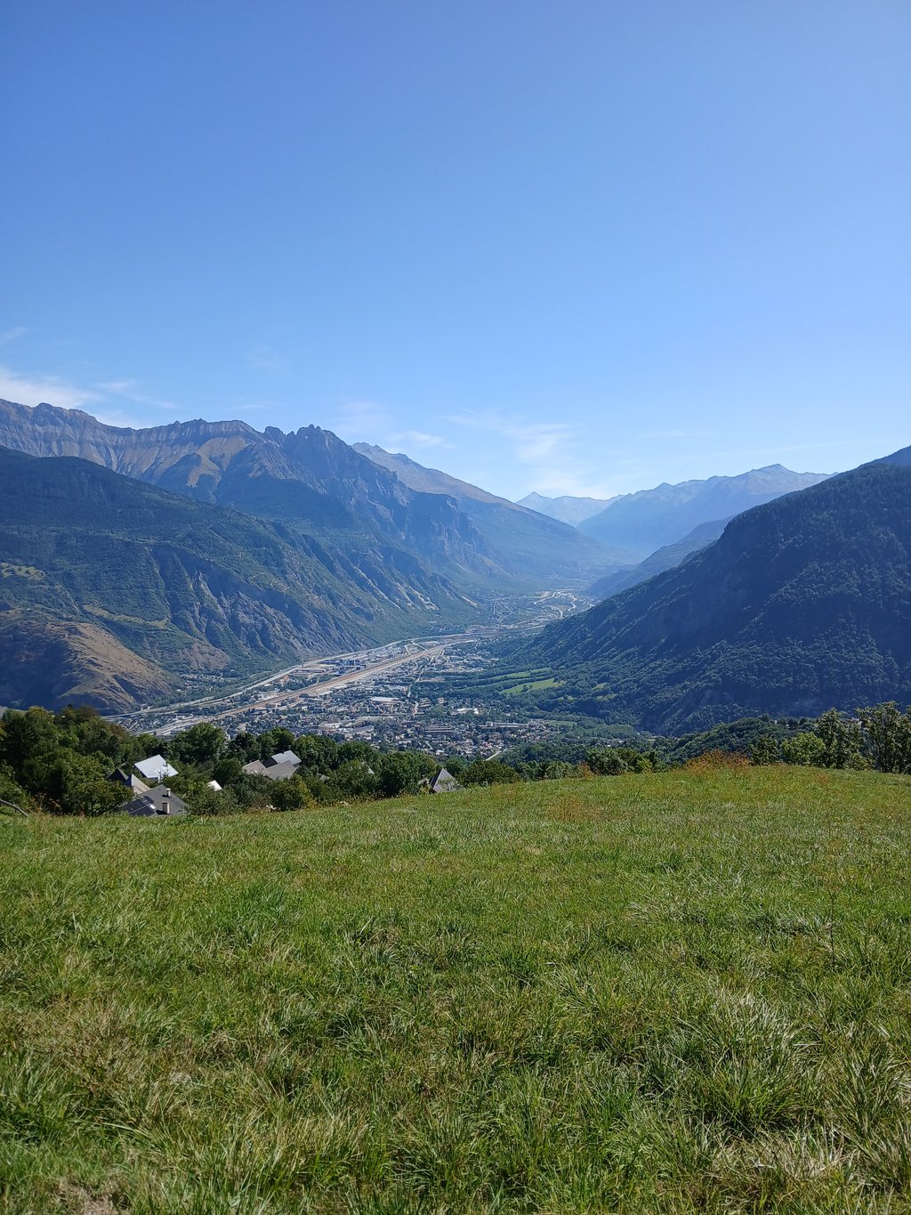
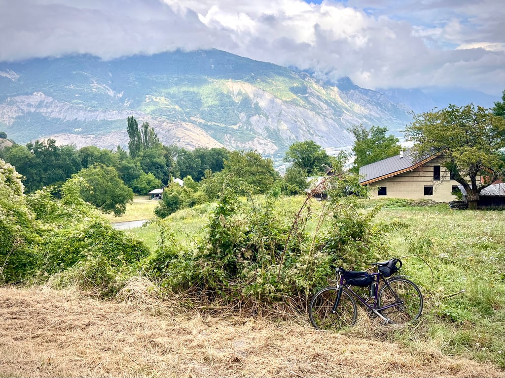
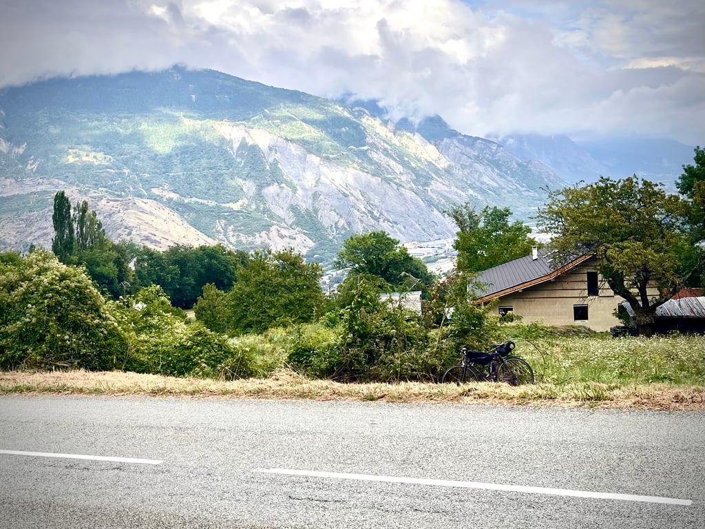
A nice climb that gets harder in the middle. Stunning views from the top over the Maurienne valley. Water fountain near the top opposite the chapel.
Done on Thursday, July 29, 2021
On the first part we take one of the variants of the climb to La Toussuire.
The part in red on the map until the exit of Jarrier is complicated with passages well above the average slope ( 11 to 14 % )
Then the gradients soften until the final part which is located on a large parking lot for hikes, equipped with toilets and fresh water.
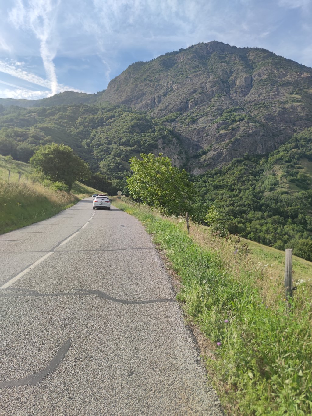
Very few shaded parts, the sun hits hard from the morning, the car traffic is moderate until the Bottières crossing and then quiet.
I wanted to go up to the end of the Sapey road, but with a road bike it's not possible because sometimes it's only a dirt road.
You will have to wait until the exit of Jarrier to enjoy beautiful landscapes, especially on the Aiguilles d'Arves and the Maurienne valley.
For the practical side: Departure from Hermillon, Rte de la cascade, Parking opposite the Town Hall along the Torrent, Drinking water basin, Toilets opposite on the other bank and especially that allows a warm-up of approximately 2Km.
Good road and prudence
Fait le jeudi 29 juillet 2021
Sur la première partie on emprunte l’une des variantes de la montée à la Toussuire.
La partie en rouge sur la carte jusqu’à la sortie de Jarrier est compliquée avec des passages bien au-dessus de la pente moyenne ( 11 à 14 % )
Ensuite les pourcentages s’adoucissent jusqu’au final qui se situe sur un grand parking de départ de randos,équipé de toilettes et eau fraîche.
Très peu de parties ombragées, le soleil cogne dur dès le matin, la circulation automobile est modérée jusqu’au croisement des Bottières et ensuite calme.
J’ai voulu monter jusqu’à la fin de la route du Sapey, mais en vélo de route ce n’est guère possible car parfois ce n’est qu’un chemin de terre.
Il faudra patienter jusqu’à la sortie de Jarrier pour bénéficier de beaux paysages, notamment sur les aiguilles d’Arves et la vallée de la Maurienne.
Pour le côté pratique : Départ de Hermillon, Rte de la cascade, Parking en face la Mairie le long du Torrent, Bassin d’eau potable, Toilettes en face sur l’autre rive et surtout cela permet un échauffement d’environ 2Km.
Bonne route et prudence
| 5 mph | 01:23:18 |
| 7 mph | 00:58:58 |
| 9 mph | 00:45:57 |
| 12 mph | 00:34:31 |
This page is better in the app