Tips nearby


| 13 hairpin turns |
| #56 toughest climb of La Maurienne |
| #52 most elevation gain of La Maurienne |
| #48 longest climb of La Maurienne |
| #51 average steepest climb of La Maurienne |
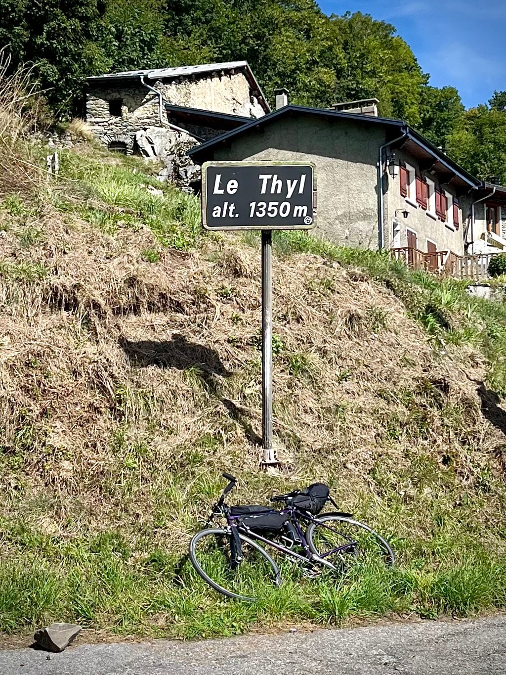
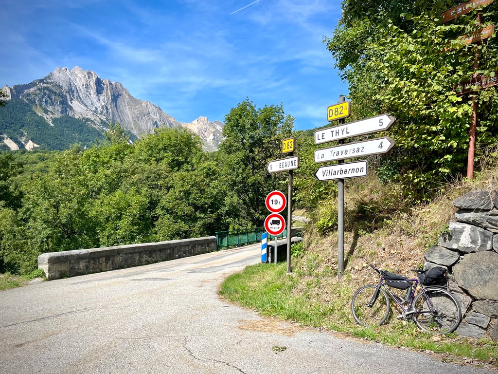
Le Thyl from Saint-Michel-de-Maurienne is a climb in the region La Maurienne. It is 5.6 mi long and bridges 2100 ft of vertical ascent with an average gradient of 7.1%, resulting in a difficulty score of 498. The top of the ascent is located at 4459 ft above sea level. Climbfinder users shared 1 review/story of this climb and uploaded 5 photos.
Road names: D215B, D82 & D82A
3.0 by CromagnonThis is an automatic translation, the original language is: French.The road is not extremely exciting, although it does offer views of Saint-Michel and the valley. It's in good condition and climbs quite decently. The climb then twists and turns through a rather boring wooded environment. Not much left to see. The village of Le Thyl, at 1350m, is very pretty and very authentic. The locals were born here and are happy to talk about their lives before global warming.... read more
Welcome! Please activate your account if you would like to share something. Look for the verification email in your inbox.
If you want to upload your photos, you need to create an account. It only takes 1 minute and it's completely free.
The road is not extremely exciting, although it does offer views of Saint-Michel and the valley. It's in good condition and climbs quite decently.
The climb then twists and turns through a rather boring wooded environment. Not much left to see.
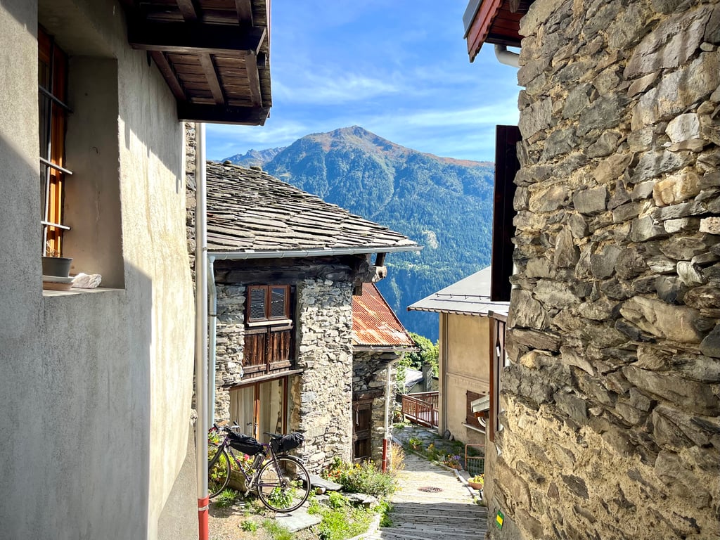
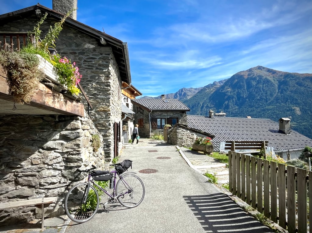
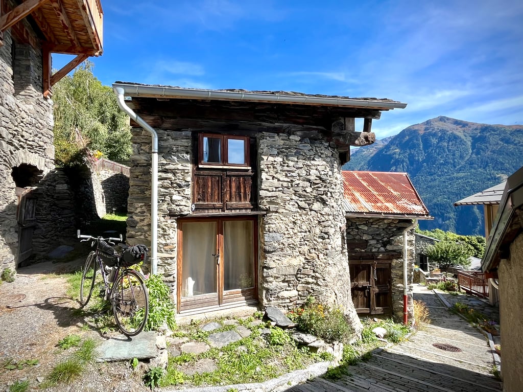
The village of Le Thyl, at 1350m, is very pretty and very authentic.
The locals were born here and are happy to talk about their lives before global warming.
La route n’est pas extrêmement emballante bien qu’elle offre des vues sur Saint-Michel et la vallée. Elle est en bon état et elle grimpe plutôt décemment.
Ensuite, la montée se poursuit par des lacets dans un environnement boisé un peu ennuyeux. Plus grand chose à voir.
Le village du Thyl, situé à 1350m, est bien mignon et sacrément authentique.
Les habitants y sont nés et racontent volontiers leurs vies avant le réchauffement climatique.
| 5 mph | 01:07:52 |
| 7 mph | 00:48:03 |
| 9 mph | 00:37:26 |
| 12 mph | 00:28:08 |
This page is better in the app