Le Pinet d'Uriage from Uriage les Bains is a climb in the region Grenoble. It is 4 mi long and bridges 1302 ft of vertical ascent with an average gradient of 6.2%, resulting in a difficulty score of 284. The top of the ascent is located at 2651 ft above sea level. Climbfinder users shared 3 reviews of this climb and uploaded 2 photos.
Road names: Route d'Uriage, Route de Saint-Nizier, D 280 & Route de Pinet
2.0 by eulmattThis is an automatic translation, the original language is: French.The main access route to the Belledonne Balcons via Uriage runs through a residential area with heavy traffic. The road is wide and in good condition. The most challenging part is the fairly steep lower section and the final few hundred meters leading to the finish at Le Pinet. Not particularly interesting unless you’re continuing on to the Belledonne Balconies loop.... read more
Welcome! Please activate your account if you would like to share something. Look for the verification email in your inbox.
If you want to upload your photos, you need to create an account. It only takes 1 minute and it's completely free.
The main access route to the Belledonne Balcons via Uriage runs through a residential area with heavy traffic. The road is wide and in good condition. The most challenging part is the fairly steep lower section and the final few hundred meters leading to the finish at Le Pinet. Not particularly interesting unless you’re continuing on to the Belledonne Balconies loop.
Accès principal au balcons de Belledonne par Uriage, la montée évolue en zone habitée avec un trafic automobile soutenu. Route large et revêtement de bonne qualité. L'effort se concentre sur le pied, assez pentu, et les derniers hectomètres à l'arrivée au Pinet. Pas vraiment d'intérêt si vous n'enchaînez pas avec le circuit des balcons de Belledonne.
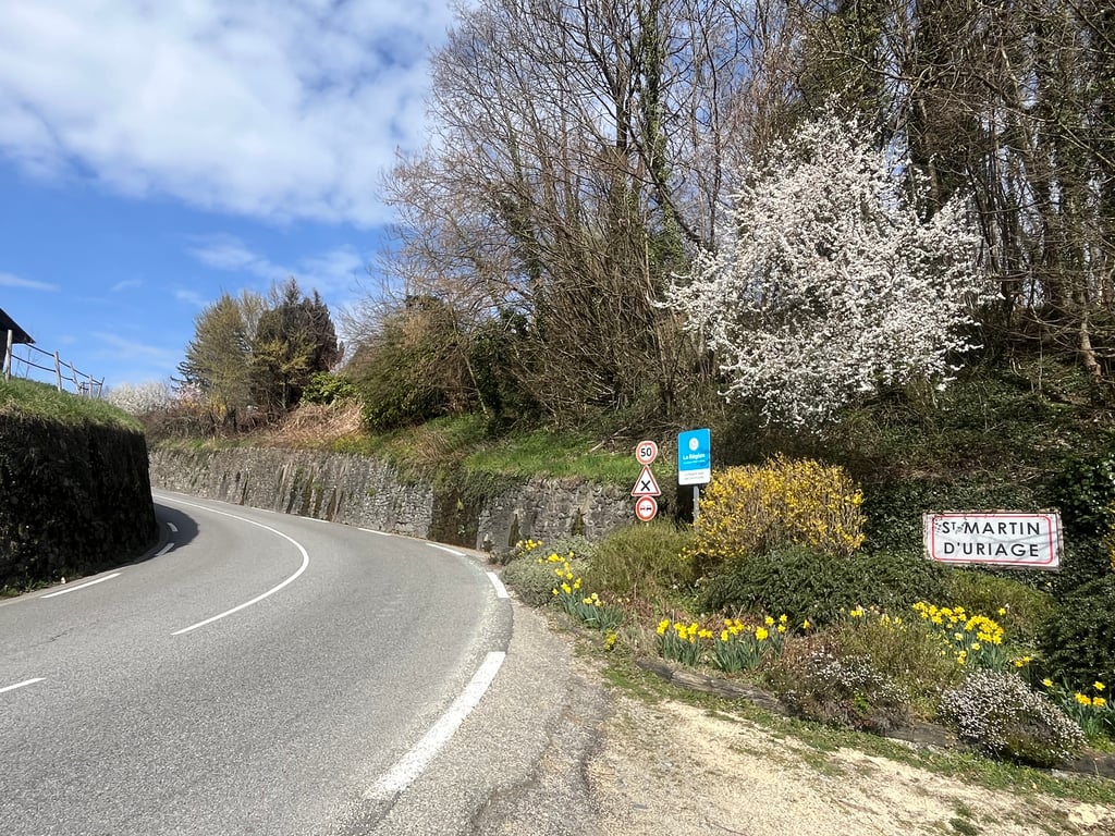
The first part of the climb to Saint Martin d’Uriage is quite busy, although there’s a nice chateau to look at. After the village it’s much quieter. Pleasant climb, but not special.
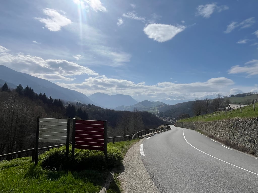
A climb of great contrasts, which includes the first three kilometres of the ascent to Chamrousse, but which branches off at Saint-Martin-d'Uriage onto the Balcon de Belledonne road. The road is wide and busy for the first three kilometres, then quieter and more rural. Those who prefer to avoid motor traffic as much as possible will find this end of the Balcon de Belledonne easier to reach via Venon or Murianette.
At Pinet d'Uriage, you can head back towards Chamrousse along the Seiglières forest road (which is sometimes in poor condition).
Ascension très contrastée qui comprend les trois premiers kilomètres de la montée vers Chamrousse, mais qui bifurque à Saint-Martin-d'Uriage sur la route du Balcon de Belledonne. La route est large et très fréquentée sur ses trois premiers kilomètres, plus calme et champêtre ensuite. Ceux qui préfèrent éviter au maximum le trafic automobile préfèrent accéder à cette extrémité du balcon de Belledonne par Venon ou Murianette.
Au Pinet d'Uriage, il est possible de repartir vers Chamrousse en empruntant la route forestière des Seiglières (parfois en mauvais état).
| 5 mph | 00:48:22 |
| 7 mph | 00:34:14 |
| 9 mph | 00:26:41 |
| 12 mph | 00:20:02 |
This page is better in the app