Le Moutaret via Route de Détrier is a climb in the region Grenoble. It is 1.8 mi long and bridges 682 ft of vertical ascent with an average gradient of 7.1%, resulting in a difficulty score of 160. The top of the ascent is located at 1824 ft above sea level. Climbfinder users shared 3 reviews of this climb and uploaded 4 photos.
Road name: Route de Détrier
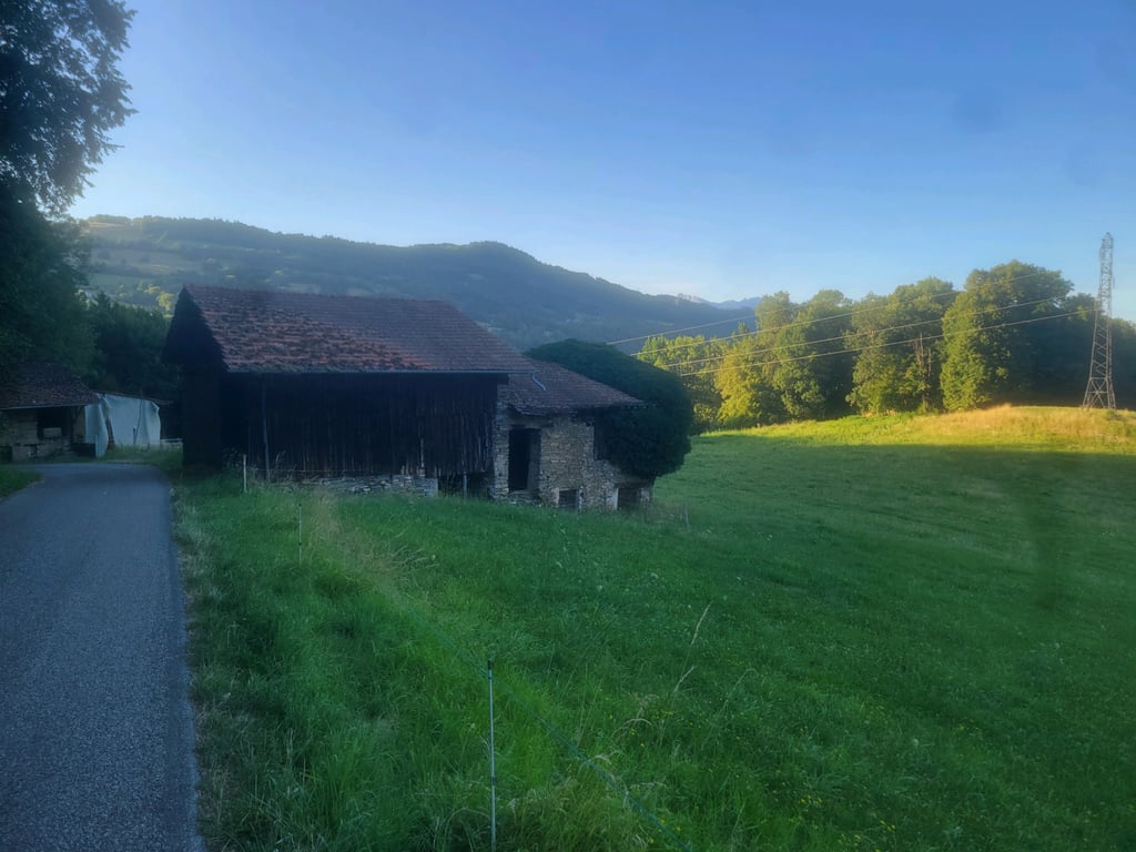
3.0 by JohThis is an automatic translation, the original language is: French.A short but scenic and shaded climb. The descent back to Allevard, on the other hand, isn't particularly interesting.... read more
Welcome! Please activate your account if you would like to share something. Look for the verification email in your inbox.
If you want to upload your photos, you need to create an account. It only takes 1 minute and it's completely free.
A short but scenic and shaded climb. The descent back to Allevard, on the other hand, isn't particularly interesting.
Montée courte mais jolie et ombragée. La redescente vers Allevard n'a pas spécialement d'intérêt en revanche
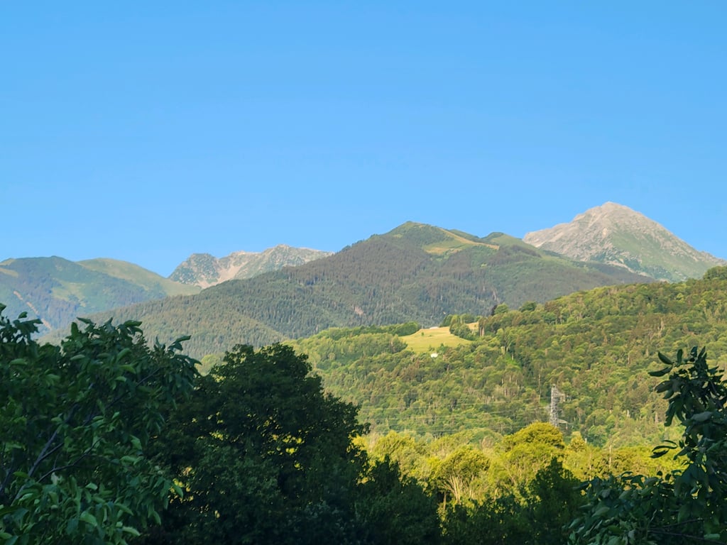
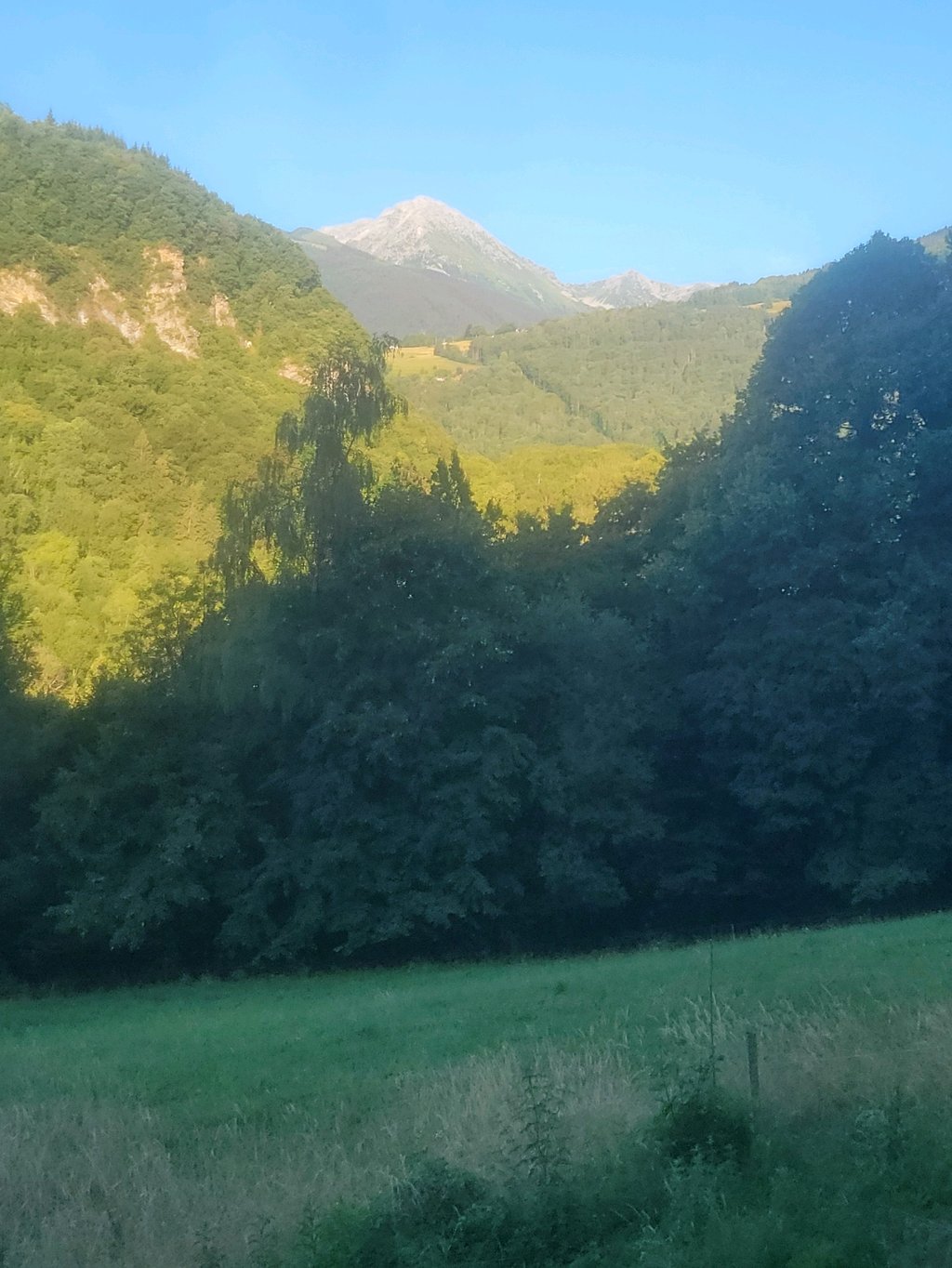
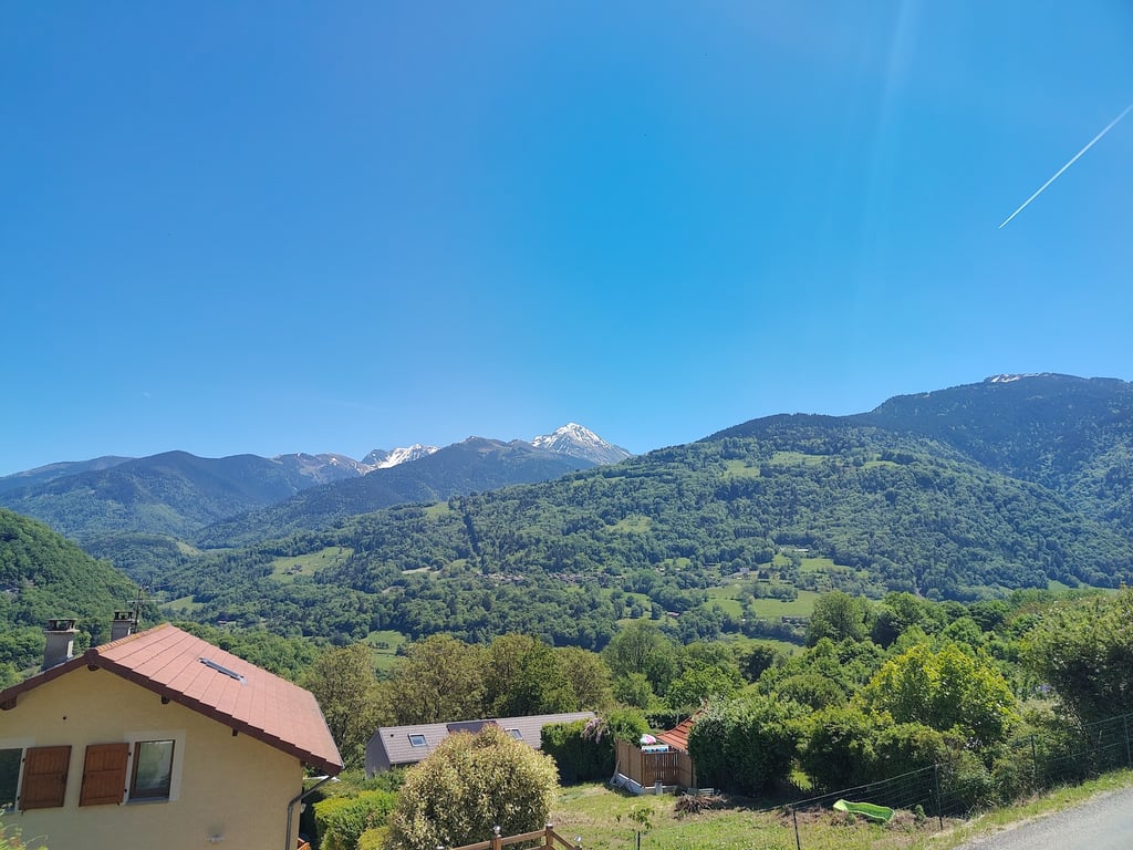
A quiet, pleasant little road, often shaded, but narrow and in fair condition. Nice view of the Grands Moulins and Val Pelouse.
Petite route calme et agréable, souvent ombragée, mais étroite et au revêtement moyen. Jolie vue sur les Grands Moulins et Val Pelouse.
Relatively short, steady ascent on a pleasant, little-used road. Beautiful views of the Belledonne mountain range.
An interesting alternative to the departmental road between La Rochette and Allevard, which is much busier.
Montée relativement courte et régulière sur une petite route peu fréquentée et très agréable. Belle vue sur la chaîne de Belledonne.
Alternative intéressante à la départementale entre La Rochette et Allevard, beaucoup plus passante.
| 5 mph | 00:22:05 |
| 7 mph | 00:15:38 |
| 9 mph | 00:12:11 |
| 12 mph | 00:09:09 |
This page is better in the app