View on map
© MapLibre | OpenStreetMap contributors
1%
2%
4%
6%
8%
10%
12%
15%
20%

Łapszanka from Osturňa

4.7
3 reviews | Elevation profile | 6 photos
Łapszanka from Osturňa
transparant thumb
transparant thumb
Your achievable time
Calculating based on your best performances...
Relaxed
Maximum
W/kg
W/kg
W/kg
Analyze your climbing performance
Detailed insight into your climbing performance & automatically check off climbs
Based on your best performances.
Your best attempt:
Number of attempts:
Elevation profile Łapszanka from Osturňa

Statistics

Difficulty points 202
Length 2.3 mi
Average gradient 6.4%
Steepest segment 13.1%
Total ascent 781 ft

Short recap

Beautiful scenery
#24 toughest climb of Podhôľno-magurská oblasť
#31 most elevation gain of Podhôľno-magurská oblasť
#37 longest climb of Podhôľno-magurská oblasť
#58 average steepest climb of Slovakia
Feedback about this climb?
Show climbs nearby Export to GPS device

Łapszanka from Osturňa is a climb in the region Podhôľno-magurská oblasť. It is 2.3 mi long and bridges 781 ft of vertical ascent with an average gradient of 6.4%, resulting in a difficulty score of 202. The top of the ascent is located at 3176 ft above sea level. Climbfinder users shared 3 reviews of this climb and uploaded 6 photos.

Road name: Do Doliny

This is an automatic translation, the original language is: Polish.
Very difficult start, then many places with possible rest. Beautiful views at the end of the most difficult section... read more

Photos (6)

Łapszanka from Osturňa

Your uploads (max 4)

Welcome! Please activate your account if you would like to share something. Look for the verification email in your inbox.

If you want to upload your photos, you need to create an account. It only takes 1 minute and it's completely free.

  • Receive free climbfinder goodies for your reviews & photos.
  • Create a bucket list and check off conquered climbs.
  • Add missing climbs.
Continue with GoogleContinue with Google Continue with FacebookContinue with Facebook Continue with AppleContinue with Apple Sign up with email
By signing up you agree to our terms of service and confirm that you have read our privacy & content policy.

Reviews (3)

5.0
4.0
3.0
2.0
1.0
SZCZEPOMVDP
10 Mo 5.0
This is an automatic translation, the original language is: Polish. Show original

Very difficult start, then many places with possible rest. Beautiful views at the end of the most difficult section

Bardzo trudny początek, później wiele miejsc z możliwym odpoczynkiem. Piękne widoki na końcu najtrudniejszego odcinka

Dashboard
Kajfasz666
11 Mo 5.0
This is an automatic translation, the original language is: Polish. Show original

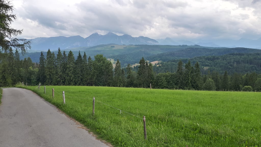
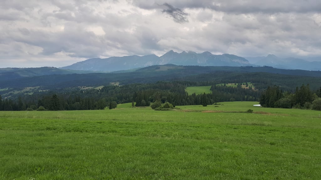
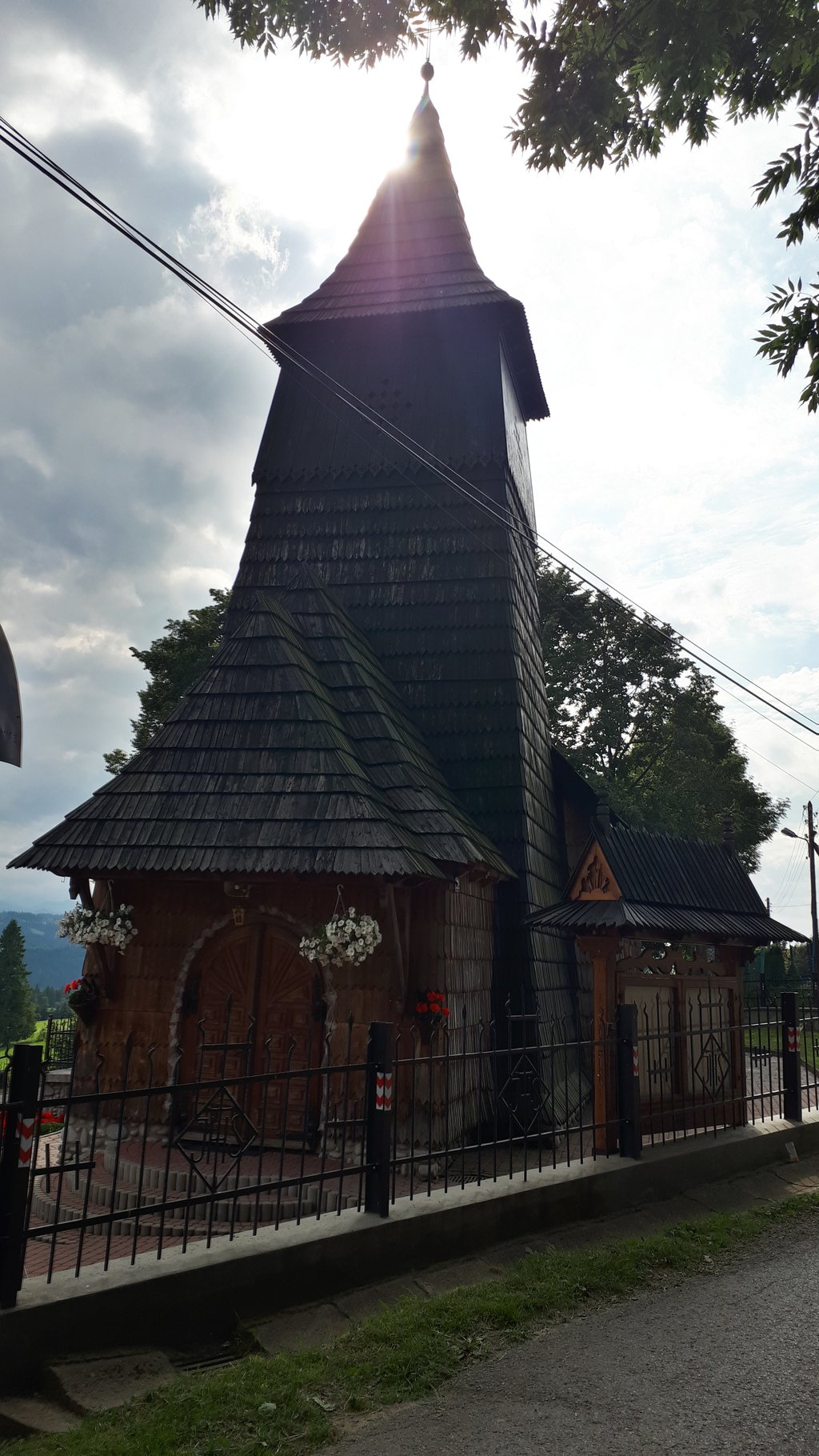
Osturnia is a magical place. The driveway too - superb but narrow asphalt that it's hard to pass a car, although not many cars go there. It is steep. Views some of the best in the Tatras!

Osturnia jest magicznym miejscem. Podjazd też - asfalt super ale wąski, że ciężko się minąć z autem, choć nie jeździ ich tam dużo. Jest stromo. Widoki jedne z najlepszych w Tatrach!

Dashboard
jlneverdie
1 y 4.0
This is an automatic translation, the original language is: Polish. Show original

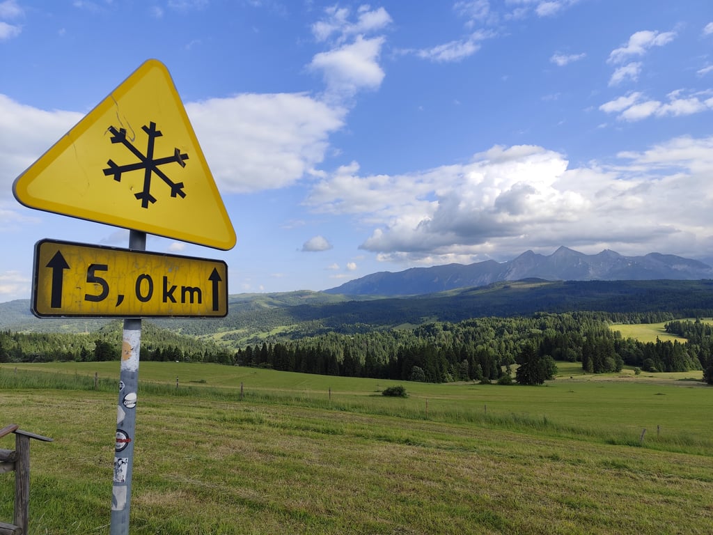
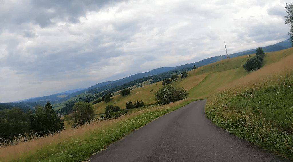
Start quite strong, with gradients reaching over 10%, Narrow tarmac road with minimal traffic. Very nice views along the way and on the summit.

Początek dosyć mocny, z nachyleniem dochodzącym powyżej 10%, Wąska asfaltowa droga, z minimalnym ruchem samochodowym. Bardzo ładne widoki po drodze i na szczycie.

Łapszanka from Osturňa
Dashboard

Climbing times

5 mph 00:27:46
7 mph 00:19:40
9 mph 00:15:19
12 mph 00:11:30

Road surface condition

33% 67% 0%
Based on 3 votes
Share your knowledge. What was the road condition during your ascent?

Traffic

100% 0% 0%
Based on 3 votes
Your experience counts. How much traffic did you encounter during the climb?

Frequently Asked Questions

Łapszanka can be cycled from 4 sides. Łapszanka from Łapsze Wyżne is the most popular side, but the summit can also be reached via Łapszanka from Jurgów via Potok Wojtyczków, Łapszanka from Jurgów via Potok Grocholów & Łapszanka from Osturňa.

Łapszanka from Osturňa is a challenging ascent. For this type of climbing, we recommend mountain gearing, specifically a compact system. This means a small front chainring of 34 teeth, combined with a rear cassette where, depending on your level, strength, and experience, you choose a sprocket with 30, 32, or even 34 teeth. Remember that a smooth cadence is always more efficient!

Łapszanka from Osturňa is a 3rd-category climb. Almost anyone can handle this climb, as long as you have a bike with climbing gears. If you have little training, you will probably need to shift down significantly. For experienced riders, Łapszanka from Osturňa is not a problem.

Łapszanka from Osturňa is 2.3 mi long.

The average gradient of Łapszanka from Osturňa is 6.4%.

Łapszanka from Osturňa has a steepest segment with an average gradient of 13.1%.

The summit of Łapszanka from Osturňa is at 3176 ft.

At a slow pace of 5 mph, it takes about 00:27:46 to climb Łapszanka from Osturňa. At 7 mph the time is 00:19:40, and at 9 mph 00:15:19. For the fastest cyclists, 00:11:30 is an achievable time.

Łapszanka from Osturňa is located in the region in Slovakia.

This page is better in the app

Climbfinder app
Climbfinder
(Free)
Open