Landtong De Punt is a climb in the region South Holland. It is 0.4 mi long and bridges 62 ft of vertical ascent with an average gradient of 3.3%, resulting in a difficulty score of 7. The top of the ascent is located at 79 ft above sea level. Climbfinder users shared 1 review/story of this climb and uploaded 7 photos.
This is an automatic translation, the original language is: Dutch.
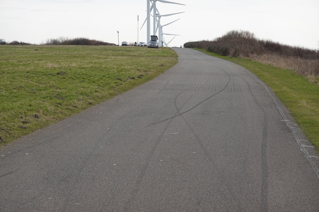
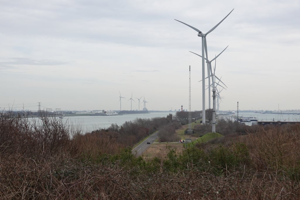
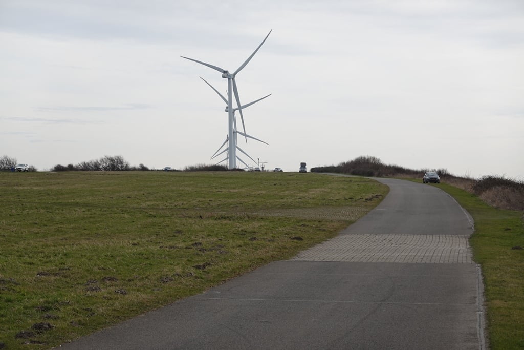
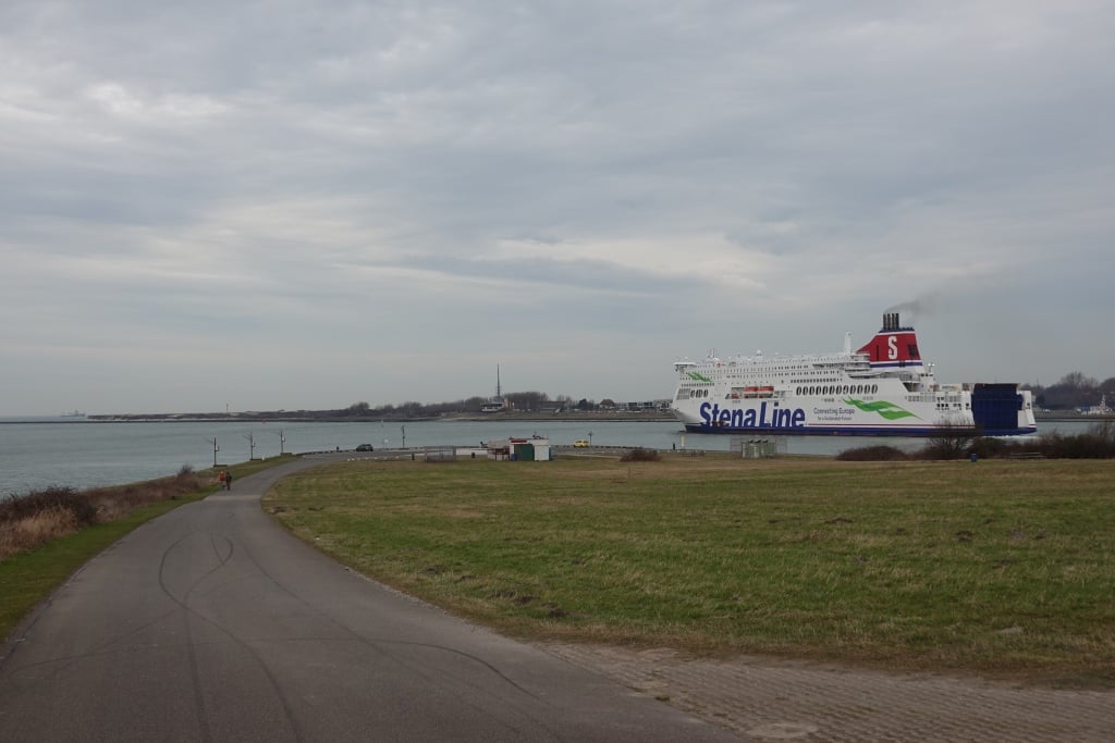
A climb at the end of a long, long cycle path where you will be facing the wind anyway as you have to return via the same road. Yet certainly not boring as there is much to see on the way and the first part can possibly be done via a nature reserve.
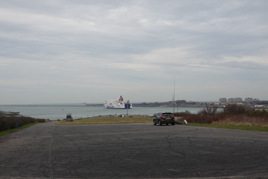
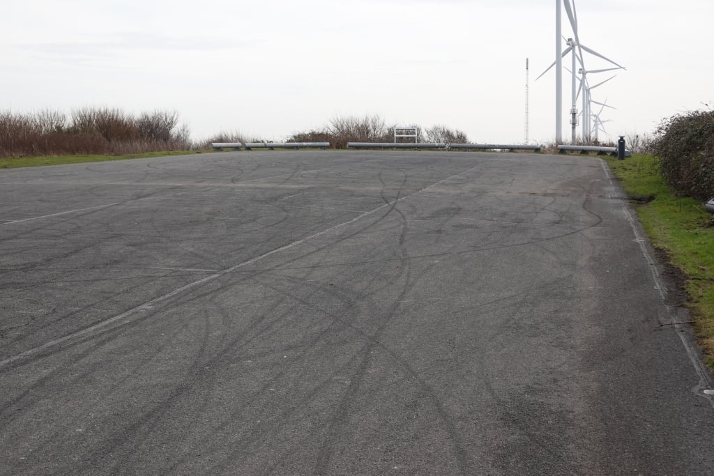
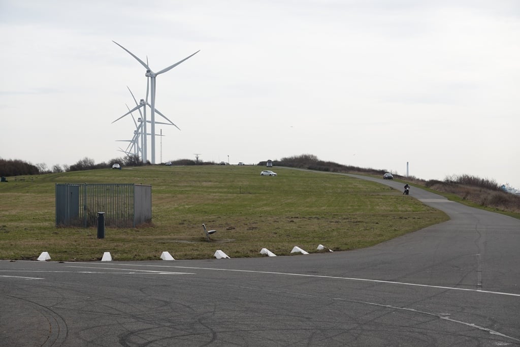
The climb itself goes to a parking place on a hill with a view. The car park itself also slopes so you have to go all the way to the end to get all the altimeters. Worth a diversion? Well, it is a big diversions. So you have to feel like it. But def...read more
Photos (7)
Welcome! Please activate your account if you would like to share something. Look for the verification email in your inbox.
This is an automatic translation, the original language is: Dutch.
Show original
A climb at the end of a long, long cycle path where you will be facing the wind anyway as you have to return via the same road. Yet certainly not boring as there is much to see on the way and the first part can possibly be done via a nature reserve.
The climb itself goes to a parking place on a hill with a view. The car park itself also slopes so you have to go all the way to the end to get all the altimeters. Worth a diversion? Well, it is a big diversions. So you have to feel like it. But definitely fun to do.
Een klim aan het eind van een lang, lang fietspad waar je hoe dan ook de wind tegen zal hebben aangezien je over dezelfde weg weer terug moet. Toch zeker niet saai want er valt veel te zien onderweg en het eerste deel kan evt. via een natuurgebiedje.
De klim zelf gaat naar een parkeerplaats op een bult met uitzicht. De parkeerplaats zelf helt ook dus je moet helemaal naar het eind om alle hoogtemeters mee te pakken. Een omweg waard? Tja het is wel meteen een heel flinke omweg dan. Je moet er dus wel ff zin in hebben. Maar zeker grappig om te doen.
Share your knowledge. What was the road condition during your ascent?
Traffic
0% 0% 0%
Based on 0 votes
Your experience counts. How much traffic did you encounter during the climb?
Frequently Asked Questions
You don't need special gearing for Landtong De Punt. The slope isn't long or steep enough to require much shifting down. You can conquer this climb on power alone. However, a compact gearing system with a smallest front chainring of 34 and largest rear sprocket of 28 or 30 is always nice if you enjoy cycling uphill. This helps maintain a smooth cadence.
Landtong De Punt is not tough enough to be assigned a mountain category. This means that even untrained cyclists can reach the top without any problems on this climb.
Landtong De Punt is 0.4 mi long.
The average gradient of Landtong De Punt is 3.3%.
Landtong De Punt has a steepest segment with an average gradient of 4.4%.
The summit of Landtong De Punt is at 79 ft.
At a slow pace of 5 mph, it takes about 00:04:18 to climb Landtong De Punt. At 7 mph the time is 00:03:02, and at 9 mph 00:02:22. For the fastest cyclists, 00:01:47 is an achievable time.