| Hidden gem |
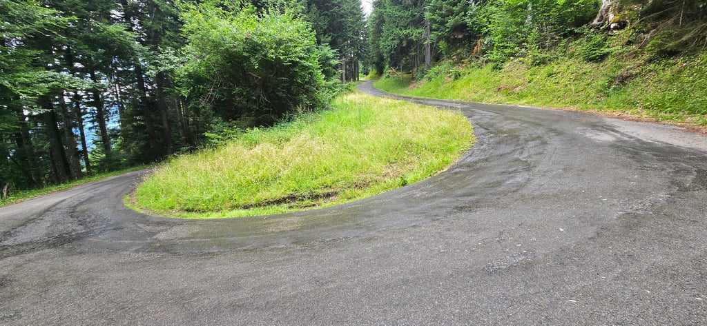
| 10 hairpin turns |
| #20 toughest climb of Haute Savoie |
| #19 most elevation gain of Haute Savoie |
| #49 longest climb of Haute Savoie |
La Mouille Rosse from Taninges is a climb in the region Haute Savoie. It is 6.8 mi long and bridges 2776 ft of vertical ascent with an average gradient of 7.7%, resulting in a difficulty score of 799. The top of the ascent is located at 4872 ft above sea level. Climbfinder users shared 1 review/story of this climb and uploaded 5 photos.
Road name: CV12
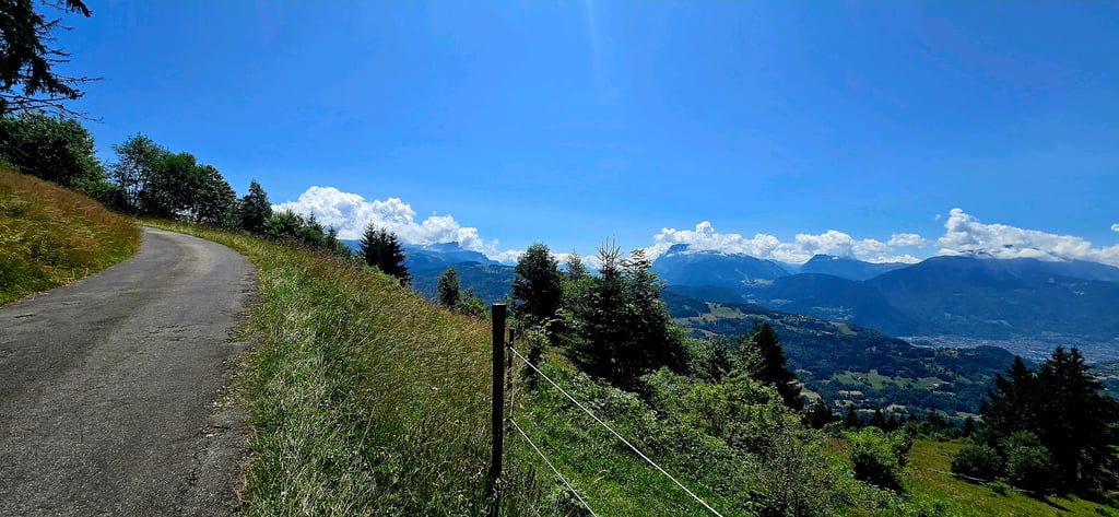
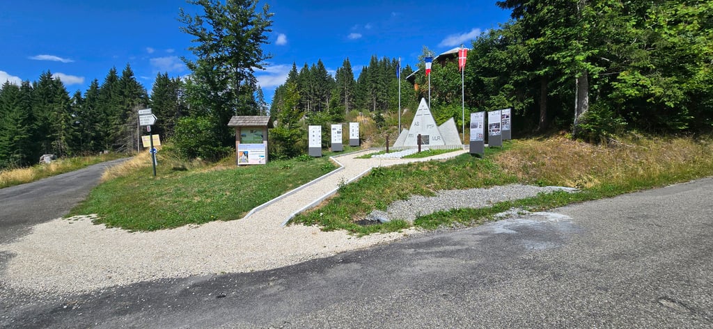
3.0 by SimonD86This is an automatic translation, the original language is: English.Once turned off the main road from Taninges to Les Gets this is a nice quiet road, well surfaced. Starts steep away from the main road though, around 3 or 4 km of hard work through the trees. Great views if the valley below when the tress this too. It eventually opens out into a small village and a monument. It's a shame the road runs out after this but if you have an mtb it's possible to ride (and maybe push a little) all the way along the track to join up with Col de joux plan eventu... read more
Welcome! Please activate your account if you would like to share something. Look for the verification email in your inbox.
If you want to upload your photos, you need to create an account. It only takes 1 minute and it's completely free.
 Continue with Google
 Continue with Facebook
 Continue with Apple
Sign up with email
Continue with Apple
Sign up with email
Once turned off the main road from Taninges to Les Gets this is a nice quiet road, well surfaced. Starts steep away from the main road though, around 3 or 4 km of hard work through the trees. Great views if the valley below when the tress this too. It eventually opens out into a small village and a monument. It's a shame the road runs out after this but if you have an mtb it's possible to ride (and maybe push a little) all the way along the track to join up with Col de joux plan eventually.
| 5 mph | 01:22:38 |
| 7 mph | 00:58:30 |
| 9 mph | 00:45:35 |
| 12 mph | 00:34:15 |
This page is better in the app