View on map
© MapLibre | OpenStreetMap contributors
1%
2%
4%
6%
8%
10%
12%
15%
20%

La Mouchonnière from Ambly

3.0
1 review/story | Elevation profile | 1 photo
Tips nearby
La Mouchonnière from Ambly
transparant thumb
transparant thumb
transparant thumb
transparant thumb
transparant thumb
transparant thumb
transparant thumb
Your achievable time
Calculating based on your best performances...
Relaxed
Maximum
W/kg
W/kg
W/kg
Analyze your climbing performance
Detailed insight into your climbing performance & automatically check off climbs
Based on your best performances.
Your best attempt:
Number of attempts:
Elevation profile La Mouchonnière from Ambly

Statistics

Difficulty points 62
Length 0.7 mi
Average gradient 6.8%
Steepest segment 11.6%
Total ascent 253 ft
Feedback about this climb?
Show climbs nearby Export to GPS device

La Mouchonnière from Ambly is a climb in the region Forest of Saint-Hubert. It is 0.7 mi long and bridges 253 ft of vertical ascent with an average gradient of 6.8%, resulting in a difficulty score of 62. The top of the ascent is located at 1043 ft above sea level. Climbfinder users shared 1 review/story of this climb and uploaded 1 photo.

Road names: Rue d' Ambly
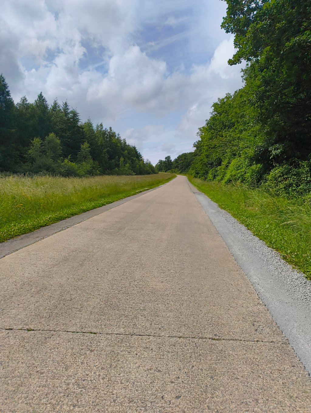
3.0 by N_M
This is an automatic translation, the original language is: Dutch.
This Cotacol seems like a quiet road, but there is still some through traffic between Ambly and Hargimont/Marloie. So you will probably cross some cars's, but it is still a nice climb and connecting road, even by bike.... read more

Photos (1)

La Mouchonnière from Ambly
transparant thumb
transparant thumb
transparant thumb
transparant thumb
transparant thumb

Your uploads (max 4)

Welcome! Please activate your account if you would like to share something. Look for the verification email in your inbox.

If you want to upload your photos, you need to create an account. It only takes 1 minute and it's completely free.

  • Receive free climbfinder goodies for your reviews & photos.
  • Create a bucket list and check off conquered climbs.
  • Add missing climbs.
Continue with GoogleContinue with Google Continue with FacebookContinue with Facebook Continue with AppleContinue with Apple Sign up with email
By signing up you agree to our terms of service and confirm that you have read our privacy & content policy.

Reviews (1)

5.0
4.0
3.0
2.0
1.0
N_M
11 Mo 3.0 via the Climbfinder app
This is an automatic translation, the original language is: Dutch. Show original

This Cotacol seems like a quiet road, but there is still some through traffic between Ambly and Hargimont/Marloie. So you will probably cross some cars's, but it is still a nice climb and connecting road, even by bike.

Deze Cotacol lijkt een rustig wegje, maar er is toch wat doorgaand verkeer tussen Ambly en Hargimont/Marloie. Je zal dus wellicht enkele auto's kruisen, maar het blijft wel een mooi beklimming en verbindingsweg, ook met de fiets.

Dashboard

Climbing times

5 mph 00:08:32
7 mph 00:06:02
9 mph 00:04:42
12 mph 00:03:32

Road surface condition

0% 0% 0%
Based on 0 votes
Share your knowledge. What was the road condition during your ascent?

Traffic

0% 0% 0%
Based on 0 votes
Your experience counts. How much traffic did you encounter during the climb?

Frequently Asked Questions

You don't need special gearing for La Mouchonnière from Ambly. The slope isn't long or steep enough to require much shifting down. You can conquer this climb on power alone. However, a compact gearing system with a smallest front chainring of 34 and largest rear sprocket of 28 or 30 is always nice if you enjoy cycling uphill. This helps maintain a smooth cadence.

La Mouchonnière from Ambly falls into the 5th category. With good fitness, you can ride it up with speed and power. If you have less training, shift down and climb smoothly.

La Mouchonnière from Ambly is 0.7 mi long.

The average gradient of La Mouchonnière from Ambly is 6.8%.

La Mouchonnière from Ambly has a steepest segment with an average gradient of 11.6%.

The summit of La Mouchonnière from Ambly is at 1043 ft.

At a slow pace of 5 mph, it takes about 00:08:32 to climb La Mouchonnière from Ambly. At 7 mph the time is 00:06:02, and at 9 mph 00:04:42. For the fastest cyclists, 00:03:32 is an achievable time.

La Mouchonnière from Ambly is located in the region Forest of Saint-Hubert in Belgium.

This page is better in the app

Climbfinder app
Climbfinder
(Free)
Open