La Chapelle Blanche from Les Mollettes is a climb in the region Grenoble. It is 2.8 mi long and bridges 712 ft of vertical ascent with an average gradient of 4.8%, resulting in a difficulty score of 113. The top of the ascent is located at 1572 ft above sea level. Climbfinder users shared 1 review/story of this climb and uploaded 4 photos.
Road names: Route Ambroise Croizat, Route de Les Mollettes, Route des Mollettes & Rue Amélie Gex
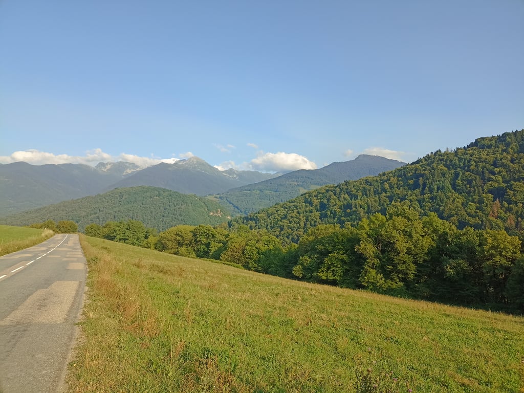
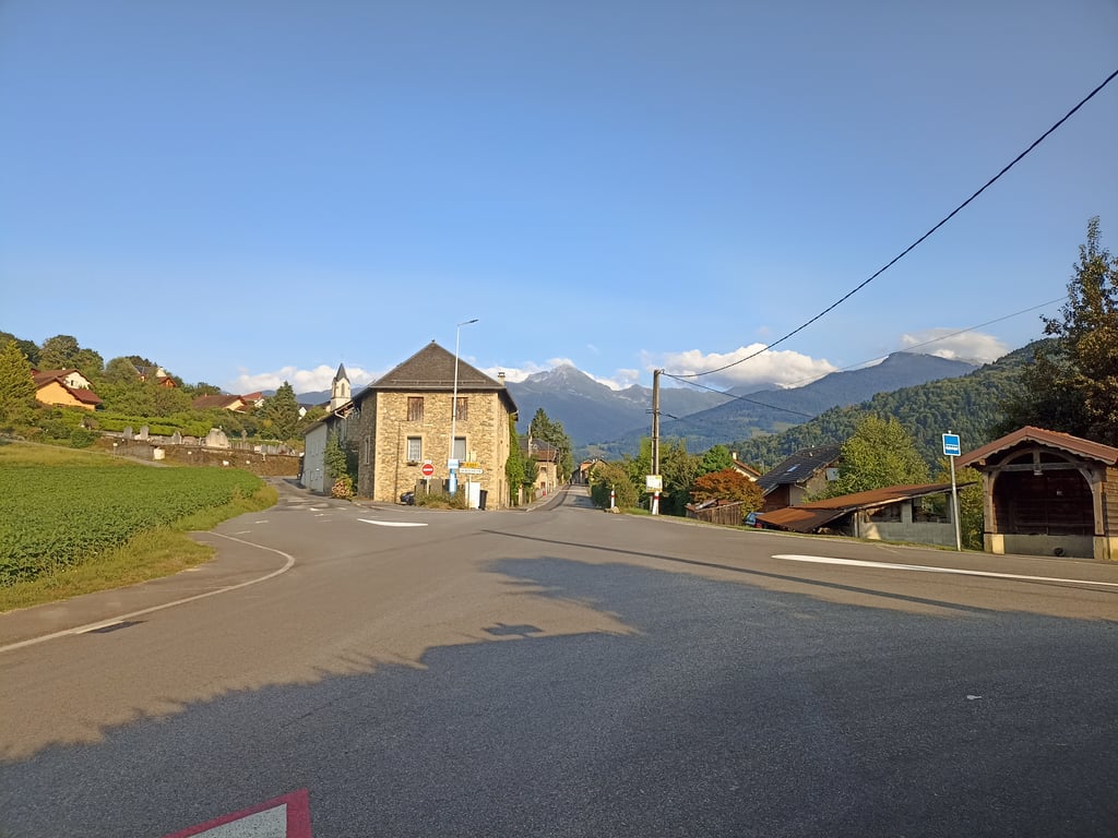
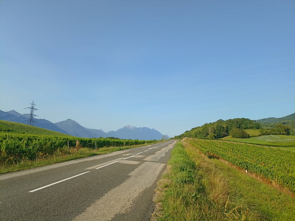
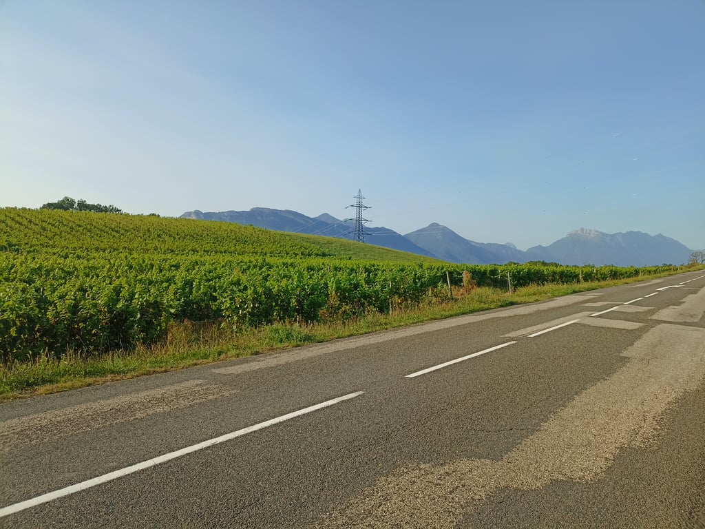
2.0 by Seb38This is an automatic translation, the original language is: French.A pleasant, gentle climb on a decent surface. The route starts in the forest and then winds through vineyards before reaching the village. Lovely views of the Combe de Savoie, Chartreuse, Bauges and Belledonne on the way down to La Rochette. If possible, avoid the hours when you return from work, when there may be little more traffic.... read more
Welcome! Please activate your account if you would like to share something. Look for the verification email in your inbox.
If you want to upload your photos, you need to create an account. It only takes 1 minute and it's completely free.
A pleasant, gentle climb on a decent surface. The route starts in the forest and then winds through vineyards before reaching the village. Lovely views of the Combe de Savoie, Chartreuse, Bauges and Belledonne on the way down to La Rochette. If possible, avoid the hours when you return from work, when there may be little more traffic.
Montée agréable et calme, en pente plutôt douce sur un revêtement correct. Départ en forêt puis on évolue dans les vignes avant d'arriver au village. Jolie vue sur la Combe de Savoie, la Chartreuse, les Bauges, puis Belledonne si on redescend sur La Rochette. Eviter si possible les heures de retour du travail où il peut y avoir à peine plus de circulation.
| 5 mph | 00:33:59 |
| 7 mph | 00:24:03 |
| 9 mph | 00:18:45 |
| 12 mph | 00:14:05 |
This page is better in the app