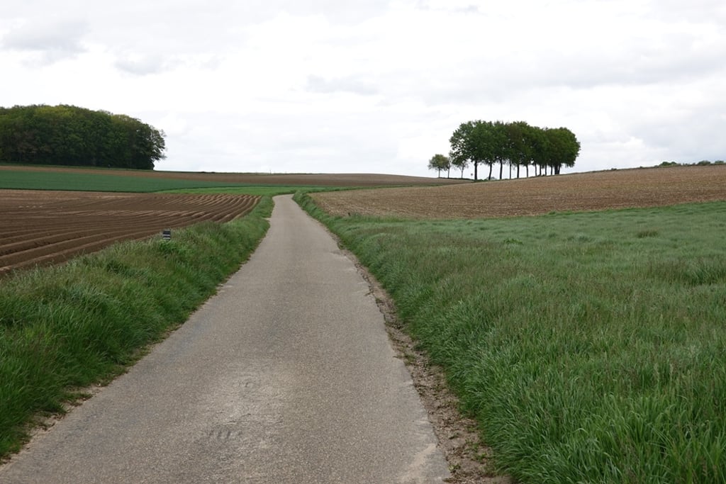
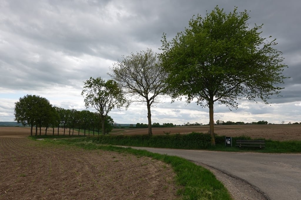
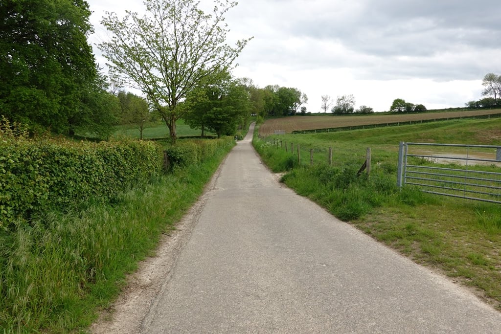
Klingeleberg via Bosschenhuizen is a climb in the region South Limburg. It is 1.4 mi long and bridges 233 ft of vertical ascent with an average gradient of 3.1%, resulting in a difficulty score of 28. The top of the ascent is located at 650 ft above sea level. Climbfinder users shared 2 reviews of this climb and uploaded 8 photos.
Road names: Stampstraat, Bosschenhuizerweg, Bosschenhuizen, Weegerweg & Klingeleberg-west
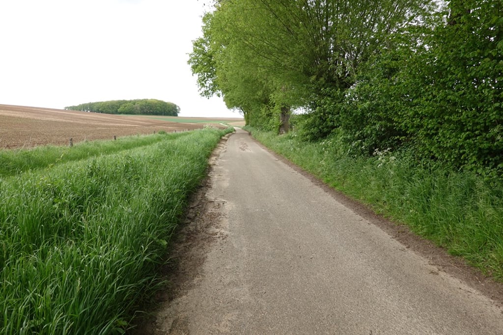
3.0 by FedorThis is an automatic translation, the original language is: Dutch.From Simpelveld, it goes up via an excellent road until you reach some houses again. Here at the chapel, keep right twice where it goes up for a while. After a short but quite steep descent, it goes up through beautiful surroundings, slightly winding up to the T-junction at the end. The first part is also beautiful in terms of scenery and from the top there are nice views to the rear.... read more

Welcome! Please activate your account if you would like to share something. Look for the verification email in your inbox.
If you want to upload your photos, you need to create an account. It only takes 1 minute and it's completely free.
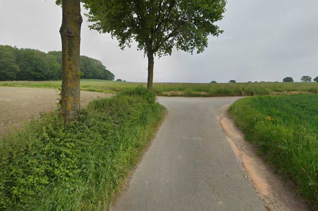
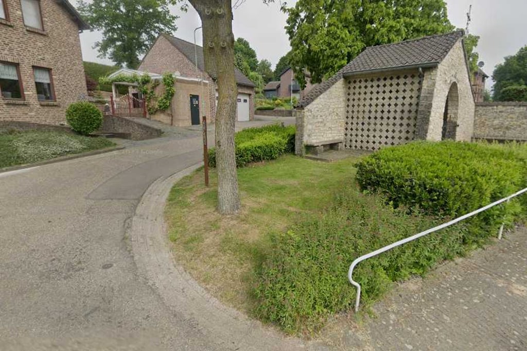
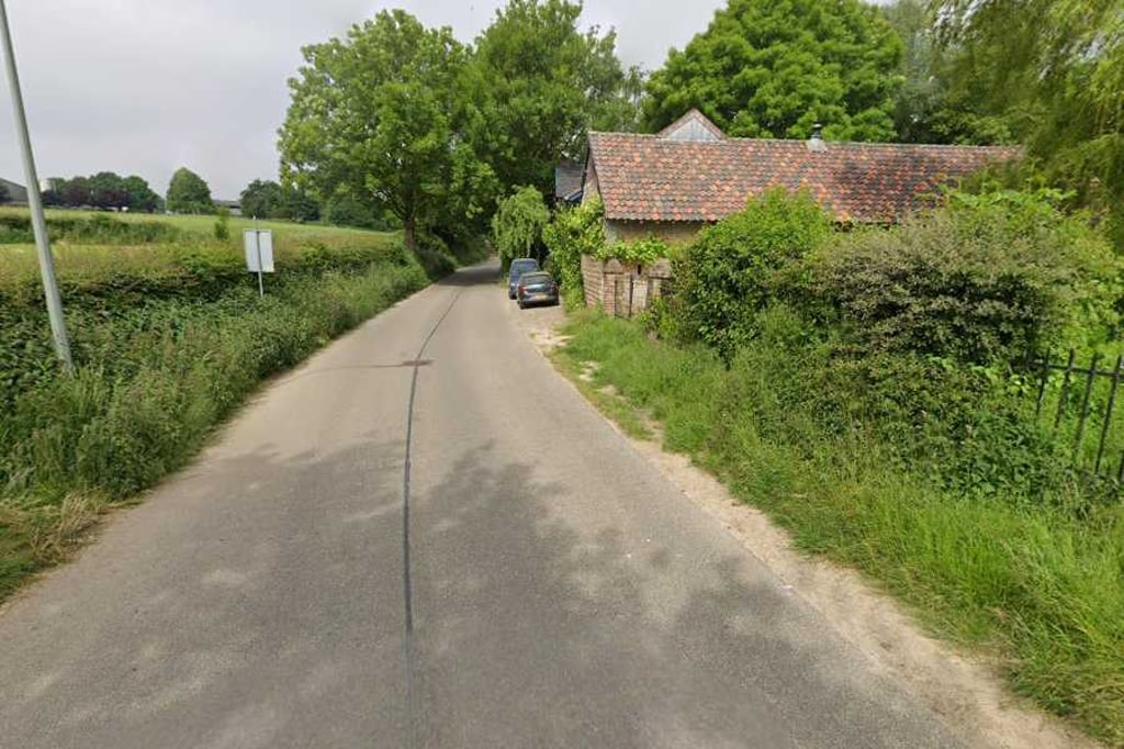
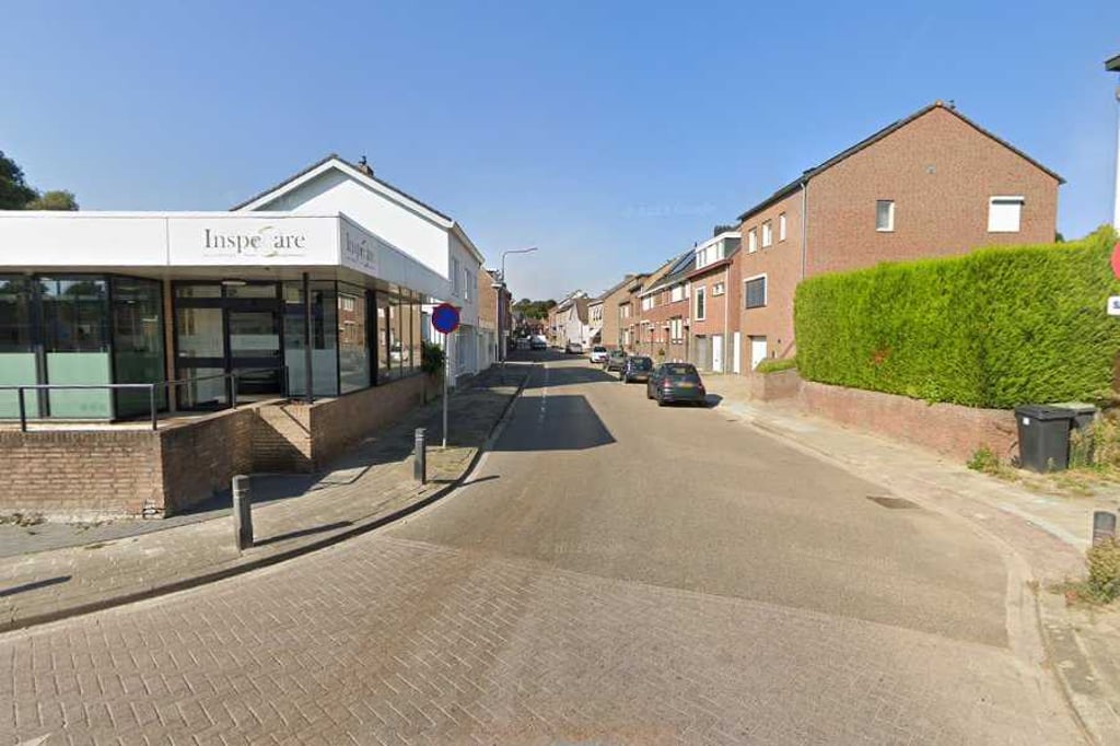
From Simpelveld, it goes up via an excellent road until you reach some houses again. Here at the chapel, keep right twice where it goes up for a while. After a short but quite steep descent, it goes up through beautiful surroundings, slightly winding up to the T-junction at the end. The first part is also beautiful in terms of scenery and from the top there are nice views to the rear.
Vanuit Simpelveld gaat het via een uitstekende weg omhoog tot je weer bij wat huizen komt. Hier bij de kapel twee keer rechts aanhouden waarbij het even lekker oploopt. Na een korte maar best steile afdaling gaat het door een mooie omgeving licht slingerend omhoog tot de T-splitsing op het eind. Ook het eerste deel is qua omgeving fraai en vanaf de top mooi uitzicht naar achteren.
Variation of the climb from Klingeleberg via Katzerweg. The climb starts at the same point on Stampstraat and goes up to Bosschenhuizen. For this climb, in Bosschenhuizen you do not turn right at the first junction onto Katzerweg but continue straight ahead and follow the road around the hamlet. From the junction with Katzerweg, you then follow Weegerweg again towards the summit. With this variation, you gain 12 extra altitude metres compared to the climb via the Katzerweg.
Variant op de klim van de Klingeleberg via Katzerweg. De klim start op hetzelfde punt op de Stampstraat en gaat omhoog naar Bosschenhuizen. Voor deze klim ga je in Bosschenhuizen niet op de eerste splitsing rechtsaf de Katzerweg op maar rij je rechtdoor en volg je de weg om het buurtschap heen. Vanaf de splitsing met de Katzerweg volg je dan weer de Weegerweg richting top. Met deze variant pak je 12 extra hoogtemeters t.o.v. de klim via de Katzerweg.
| 5 mph | 00:17:25 |
| 7 mph | 00:12:20 |
| 9 mph | 00:09:36 |
| 12 mph | 00:07:13 |
This page is better in the app