View on map
© MapLibre | OpenStreetMap contributors
1%
2%
4%
6%
8%
10%
12%
15%
20%

Keigatbos from Ursel

1.4
5 reviews | Elevation profile | 1 photo
Keigatbos from Ursel
transparant thumb
transparant thumb
transparant thumb
transparant thumb
transparant thumb
transparant thumb
transparant thumb
Your achievable time
Calculating based on your best performances...
Relaxed
Maximum
W/kg
W/kg
W/kg
Analyze your climbing performance
Detailed insight into your climbing performance & automatically check off climbs
Based on your best performances.
Your best attempt:
Number of attempts:
Elevation profile Keigatbos from Ursel

Statistics

Difficulty points 3
Length 0.3 mi
Average gradient 2.3%
Steepest segment 4%
Total ascent 39 ft

Short recap

#13 toughest climb of Meetjesland
#13 most elevation gain of Meetjesland
#12 longest climb of Meetjesland
#4 average steepest climb of Meetjesland
Feedback about this climb?
Show climbs nearby Export to GPS device

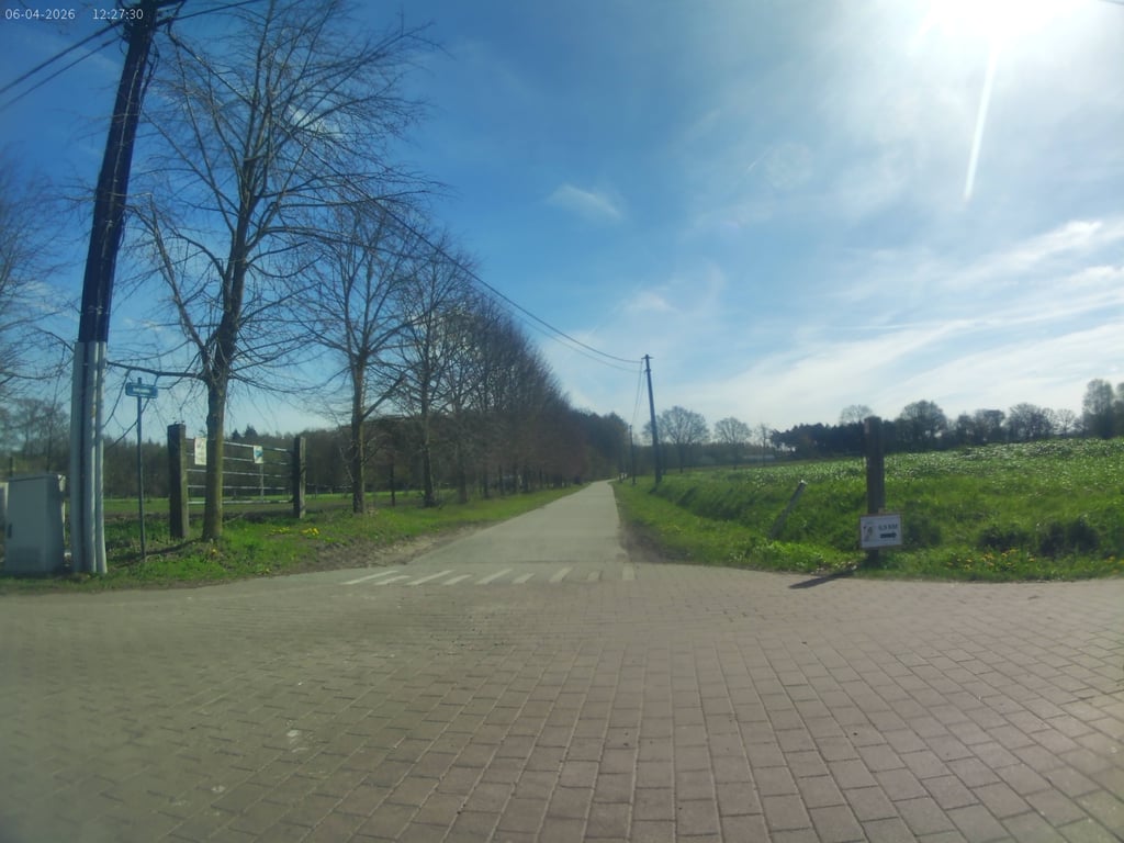
Keigatbos from Ursel is a climb in the region Meetjesland. It is 0.3 mi long and bridges 39 ft of vertical ascent with an average gradient of 2.3%, resulting in a difficulty score of 3. The top of the ascent is located at 85 ft above sea level. Climbfinder users shared 5 reviews of this climb and uploaded 1 photo.

Road name: Keigatstraat

1.0 by LarsG13
This is an automatic translation, the original language is: Dutch.
Not tough, when you get to the top you have to ride on a bad track so definitely not recommended... read more

Photos (1)

Keigatbos from Ursel
transparant thumb
transparant thumb
transparant thumb
transparant thumb
transparant thumb

Your uploads (max 4)

Welcome! Please activate your account if you would like to share something. Look for the verification email in your inbox.

If you want to upload your photos, you need to create an account. It only takes 1 minute and it's completely free.

  • Receive free climbfinder goodies for your reviews & photos.
  • Create a bucket list and check off conquered climbs.
  • Add missing climbs.
Continue with GoogleContinue with Google Continue with FacebookContinue with Facebook Continue with AppleContinue with Apple Sign up with email
By signing up you agree to our terms of service and confirm that you have read our privacy & content policy.

Reviews (5)

5.0
4.0
3.0
2.0
1.0
LarsG13
10 Mo 1.0
This is an automatic translation, the original language is: Dutch. Show original

Not tough, when you get to the top you have to ride on a bad track so definitely not recommended

Niet zwaar, als je boven komt, moet je op een slechte baan rijden dus zeker geen aanrader

Dashboard
Maikel1989
10 Mo 2.0
This is an automatic translation, the original language is: Dutch. Show original

Cool little climb. Not tough in itself but is one of the few uphill sections in the area. Nice mix of forest and open meadows. Pity you can't continue at the top (unless with the gravel bike).

Tof klimmetje. Op zich niet zwaar maar is één van de weinige oplopende stukken in de omgeving. Mooie mix van bos en open weiland. Jammer dat je boven niet door kan (tenzij met de gravelfiets)

Dashboard
Pieter394
1 y 1.0
This is an automatic translation, the original language is: Dutch. Show original

Once you get on the pedals properly, and before you know it you are at the top. When you get to the top: either turn back or ride a bad gravel strip. Not a topper

Eens goed op de trappers staan, en voor je het weet sta je boven. Als je boven bent: ofwel terugdraaien ofwel een slechte gravelstrook te rijden. Geen topper

Dashboard
pkempenaers
2 y 1.0
This is an automatic translation, the original language is: Dutch. Show original

Didn't realise I had done the slope until I reached the "gravel road". Rather an off than a recommend.

Had pas door dat ik de helling gedaan had toen ik op de "gravelweg" kwam. Eerder een af dan een aanrader.

Dashboard
WouterDK
3 y 2.0
This is an automatic translation, the original language is: Dutch. Show original

Small climb to just bang on well. Watch out after the bend, the road turns into a very poorly maintained gravel road here

Klein klimmetje om gewoon goed op door te knallen. Opgelet na de bocht, de weg gaat hier over in een zeer slecht onderhouden gravelweg

Dashboard

Climbing times

5 mph 00:03:48
7 mph 00:02:41
9 mph 00:02:06
12 mph 00:01:34

Road surface condition

0% 0% 0%
Based on 0 votes
Share your knowledge. What was the road condition during your ascent?

Traffic

0% 0% 0%
Based on 0 votes
Your experience counts. How much traffic did you encounter during the climb?

Frequently Asked Questions

You don't need special gearing for Keigatbos from Ursel. The slope isn't long or steep enough to require much shifting down. You can conquer this climb on power alone. However, a compact gearing system with a smallest front chainring of 34 and largest rear sprocket of 28 or 30 is always nice if you enjoy cycling uphill. This helps maintain a smooth cadence.

Keigatbos from Ursel is not tough enough to be assigned a mountain category. This means that even untrained cyclists can reach the top without any problems on this climb.

Keigatbos from Ursel is 0.3 mi long.

The average gradient of Keigatbos from Ursel is 2.3%.

Keigatbos from Ursel has a steepest segment with an average gradient of 4%.

The summit of Keigatbos from Ursel is at 85 ft.

At a slow pace of 5 mph, it takes about 00:03:48 to climb Keigatbos from Ursel. At 7 mph the time is 00:02:41, and at 9 mph 00:02:06. For the fastest cyclists, 00:01:34 is an achievable time.

Keigatbos from Ursel is located in the region East Flanders in Belgium.

This page is better in the app

Climbfinder app
Climbfinder
(Free)
Open