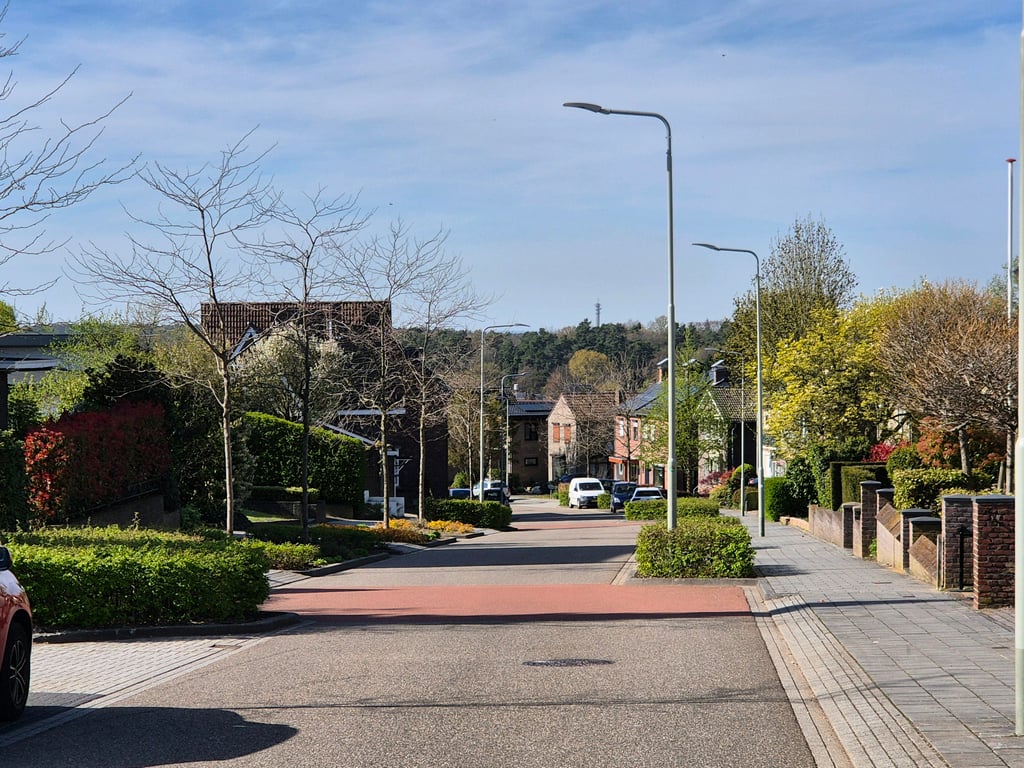
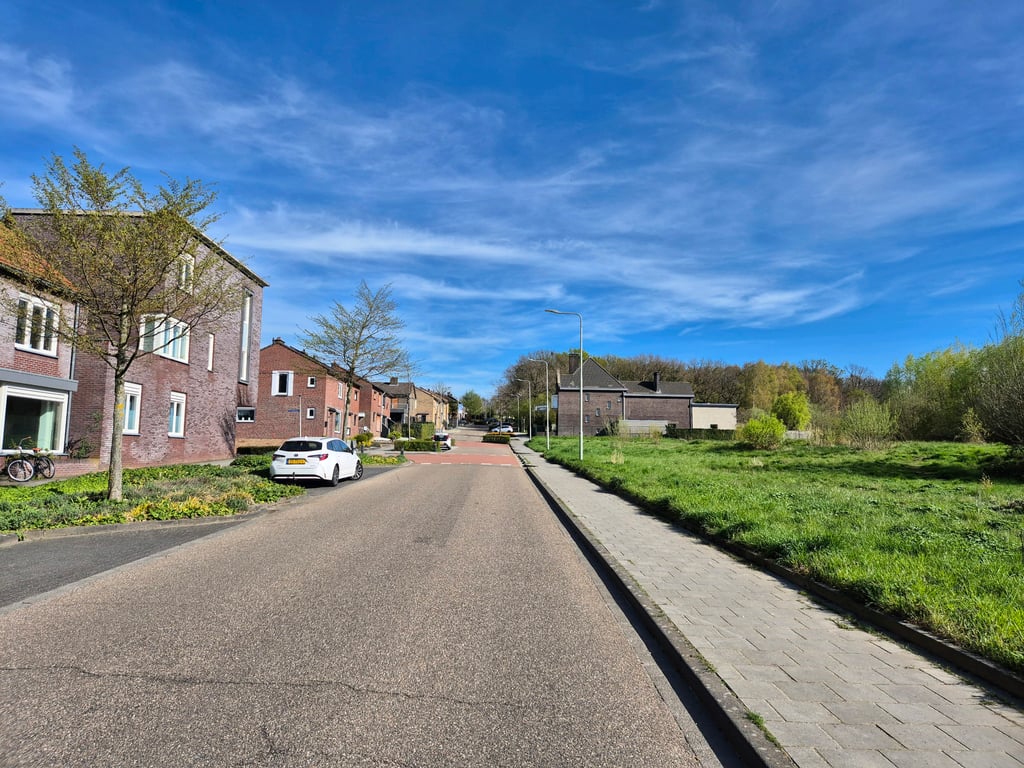
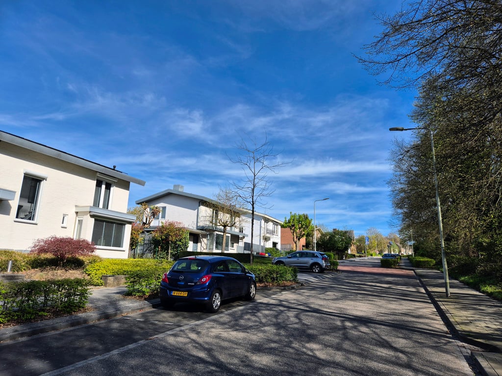
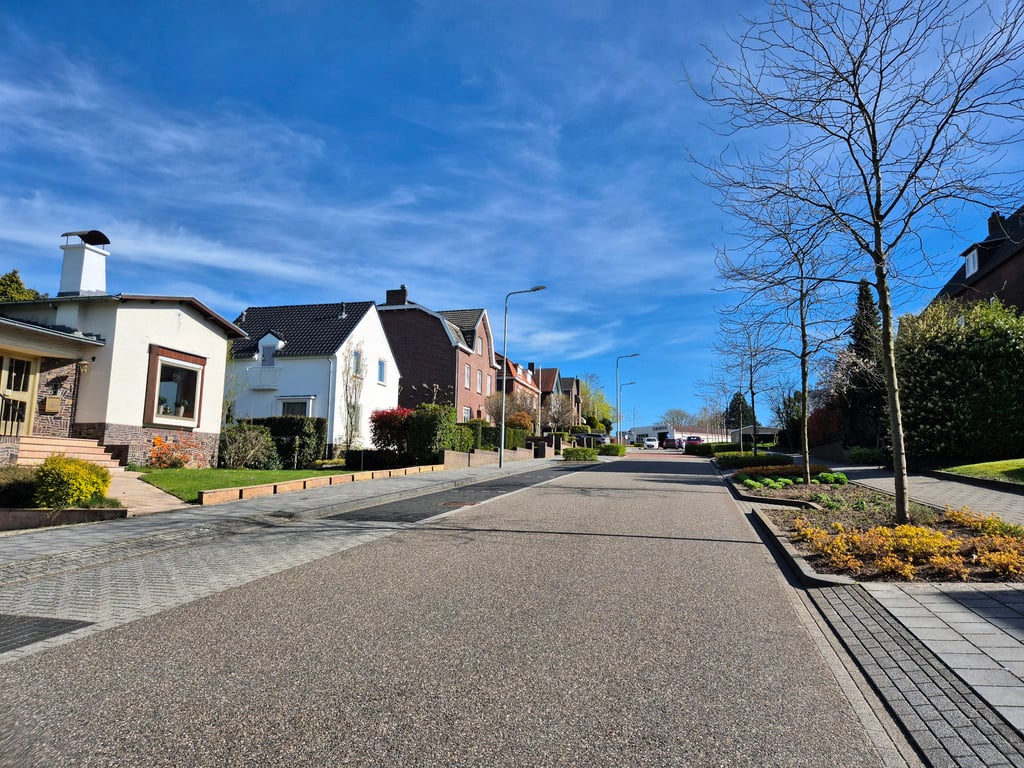
Kakert is a climb in the region South Limburg. It is 0.5 mi long and bridges 128 ft of vertical ascent with an average gradient of 4.6%, resulting in a difficulty score of 20. The top of the ascent is located at 495 ft above sea level. Climbfinder users shared 2 reviews of this climb and uploaded 12 photos.
Road names: Kakertsweg & Streperplein
2.0 by TjaartThis is an automatic translation, the original language is: Dutch.Good asphalt. Along and through residential area with on the right in the beginning meadows and a forest. Quite some traffic. Climb gradually, and not particularly.... read more
Welcome! Please activate your account if you would like to share something. Look for the verification email in your inbox.
If you want to upload your photos, you need to create an account. It only takes 1 minute and it's completely free.
Good asphalt. Along and through residential area with on the right in the beginning meadows and a forest. Quite some traffic. Climb gradually, and not particularly.
Goed asfalt. Langs en door woonwijk met rechts in het begin weiden en een bos. Redelijk wat verkeer. Klim geleidelijk, en niet bijzonder.
A nice climb on good asphalt. The road does zigzag a bit because sometimes there are parking places on the left and sometimes on the right. On the right hand side most of the route is forest or meadow, but further on there are no real views.
Een aardige klim over goed asfalt. Wel zigzagt de weg enigszins omdat er soms links en soms rechts parkeerplaatsen zijn. Aan de rechterkant is het grootste deel van de route bos of weiland, maar verder zijn er niet echt uitzichten.
| 5 mph | 00:06:24 |
| 7 mph | 00:04:32 |
| 9 mph | 00:03:32 |
| 12 mph | 00:02:39 |
This page is better in the app