Jeugrubbe via Vaesrader Wienweg is a climb in the region South Limburg. It is 0.7 mi long and bridges 128 ft of vertical ascent with an average gradient of 3.5%, resulting in a difficulty score of 19. The top of the ascent is located at 377 ft above sea level. Climbfinder users shared 2 reviews of this climb and uploaded 8 photos.
Road names: Vaesraderweg, Vaesrader Wienweg & Jeugrubbenweg
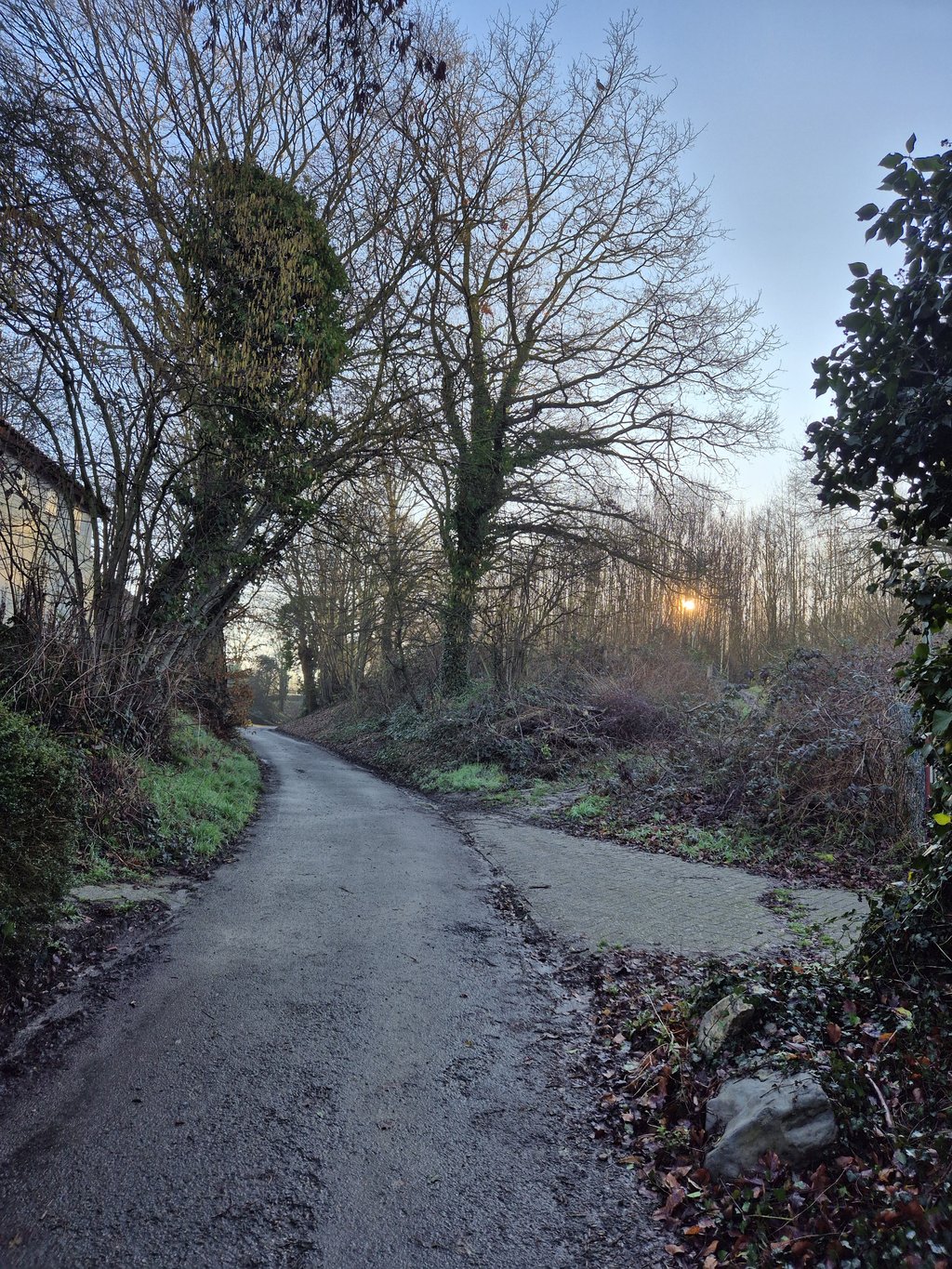
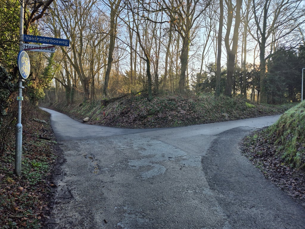
3.0 by BikerJohanThis is an automatic translation, the original language is: Dutch.Coming from Kathagen, take the first road on the right (Vaesraderweg). After about 300 metres, keep right at the Y-junction and leave the built-up area. After this you have had the first steep stretch at the junction with the road on the left. You then take a hollow road to the viaduct over the Parkstadring. There follows a second steeper section to the top at the transmitter mast.... read more

Welcome! Please activate your account if you would like to share something. Look for the verification email in your inbox.
If you want to upload your photos, you need to create an account. It only takes 1 minute and it's completely free.
Coming from Kathagen, take the first road on the right (Vaesraderweg). After about 300 metres, keep right at the Y-junction and leave the built-up area. After this you have had the first steep stretch at the junction with the road on the left. You then take a hollow road to the viaduct over the Parkstadring. There follows a second steeper section to the top at the transmitter mast.
Komende vanaf Kathagen ga je de eerste weg rechtsaf (Vaesraderweg) op. Na ca. 300 meter houd je op de Y-splitsing rechts aan en rij je de bebouwing uit. Hierna heb je ij de splitsing met de weg links het eerste steile stuk gehad. Via een holle weg ga je dan naar het viaduct over de Parkstadring. Daar volgt nog een tweede steiler stuk tot aan de top bij de zendmast.
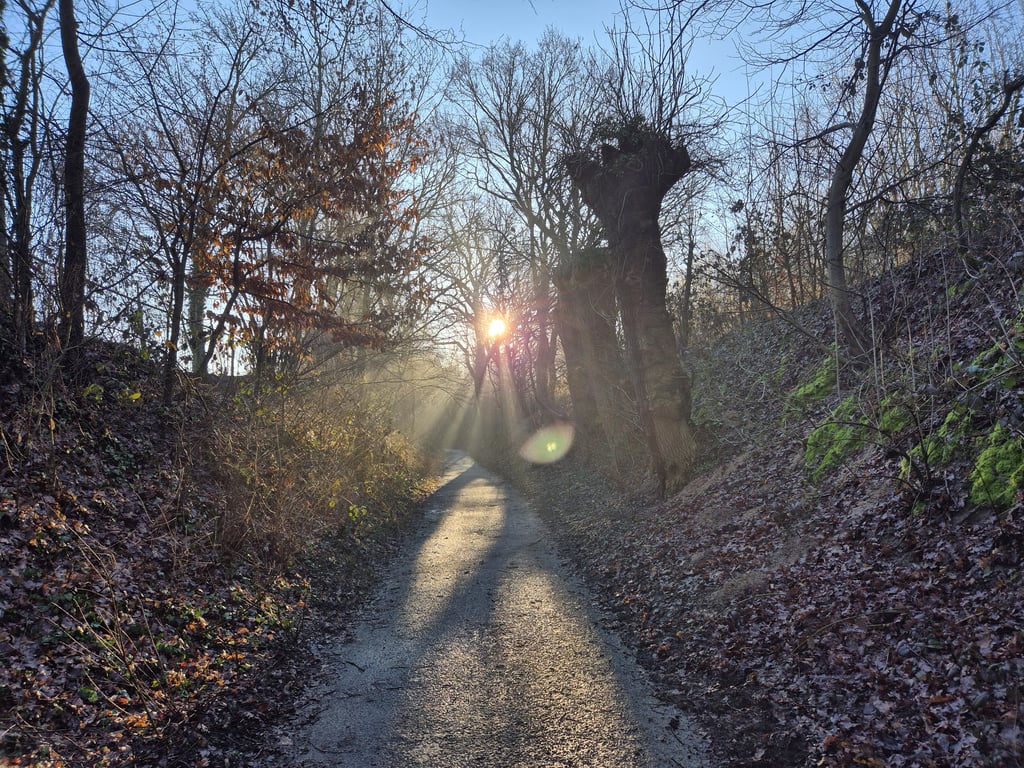
A varied climb where you have to estimate which road you should take. You drive into the village and keep right (except at a really descending road) after which you soon leave the houses behind you and a bike path / hollow road to enter. Further on turn right over the also ascending viaduct and further on turn right again for a short steep part to the top. The profile is right: the beginning and the end are relatively the toughest (but never really heavy). The quality of the asphalt varies but is nowhere bad. Most of the route you ride through the green.
Een gevarieerde klim waarbij het wel even inschatten is welke weg je moet nemen. Je rijdt het dorp in en houdt rechts aan (behalve bij een echt dalende weg) waarna je al snel de huizen achter je laat en een fietspad /holle weg induikt. Verderop rechtsaf over het eveneens stijgende viaduct en verderop weer rechtsaf een kort steil stukje tot de top. Het profiel klopt: het begin en het eind zijn relatief het pittigst (maar nooit echt zwaar). De asfaltkwaliteit varieert maar is nergens slecht. Het grootste deel van het traject rijd je door het groen.
| 5 mph | 00:08:15 |
| 7 mph | 00:05:51 |
| 9 mph | 00:04:33 |
| 12 mph | 00:03:25 |
This page is better in the app