| Cobbles |
| #63 toughest climb of Dijleland |
| #94 most elevation gain of Dijleland |
| #90 longest climb of Druivenstreek |
| #57 average steepest climb of Dijleland |
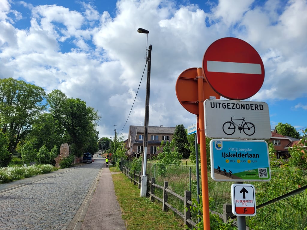
IJskelderlaan via Kouterstraat is a climb in the region Druivenstreek. It is 0.4 mi long and bridges 131 ft of vertical ascent with an average gradient of 6.5%, resulting in a difficulty score of 32. The top of the ascent is located at 302 ft above sea level. Climbfinder users shared 2 reviews of this climb and uploaded 3 photos.
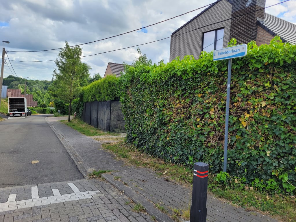
Road names: IJskelderlaan & Kouterstraat
4.0 by JarinThis is an automatic translation, the original language is: Dutch.Right at the start, a sign warns you that this is a 'spicy little mountain' and it is. The first section is still fairly gradual uphill, but you can already see in the distance that the road gets considerably steeper after the junction. Fortunately, the steepest part is not too long and the last part after the turn left is more false flat. Highly recommended!... read more
Welcome! Please activate your account if you would like to share something. Look for the verification email in your inbox.
If you want to upload your photos, you need to create an account. It only takes 1 minute and it's completely free.
Right at the start, a sign warns you that this is a 'spicy little mountain' and it is. The first section is still fairly gradual uphill, but you can already see in the distance that the road gets considerably steeper after the junction. Fortunately, the steepest part is not too long and the last part after the turn left is more false flat. Highly recommended!
Aan het begin wordt je meteen door een bord al gewaarschuwd dat dit een 'pittig bergske' is, en dat is het ook. Het eerste deel loopt nog redelijk geleidelijk omhoog maar in de verte zie je dan al dat de weg na de kruising flink steiler wordt. Gelukkig is het steilste stuk niet al te lang en is het laatste stuk na de afslag links meer vals plat. Vanuit de Kouterlaan kun je schuin doorsteken naar de Korenarenstraat, die heel geleidelijk--parallel aan de Brusselsesteenweg--stijgt en in het verleden ook als zodanig in het parcours van de Brabantse pijl is opgenomen geweest, Een aanrader!!
This was the usual route of this climb when the Brabant Arrow passed through (nowadays the race takes the Brusselsesteenweg (N4) with its spectacular "S").
It can be extended by the Korenarenstraat, which slopes gently up to the junction with the Van Oppemstraat, thus gaining another 20 metres of height. This is what the race did (turning left at the junction with the Losweg and then descending the N4) and what the "Brabant Arrow Cycle Route" does.
C'était le tracé habituel de cette montée lorsque la Flèche brabançonne passait par là (actuellement la course emprunte la Brusselsesteenweg (N4) et son spectaculaire « S »).
À noter qu'on peut la prolonger par la Korenarenstraat qui monte encore en pente douce presque jusqu'au croisement avec la Van Oppemstraat, et ainsi gagner encore une vingtaine de mètres de dénivellation. C'est d'ailleurs ce que faisait la course (qui obliquait à gauche au croisement avec la Losweg pour descendre ensuite la N4) et ce que fait la « Route cycliste Flèche brabançonne ».
| 5 mph | 00:04:37 |
| 7 mph | 00:03:16 |
| 9 mph | 00:02:32 |
| 12 mph | 00:01:54 |
This page is better in the app