| 6 hairpin turns |
| #59 toughest climb of Eifel |
| #83 most elevation gain of Rhineland-Palatinate |
| #83 longest climb of Rhineland-Palatinate |
Hungerberg from Wintersdorf is a climb in the region Eifel. It is 4.2 mi long and bridges 1007 ft of vertical ascent with an average gradient of 4.5%, resulting in a difficulty score of 198. The top of the ascent is located at 1329 ft above sea level. Climbfinder users shared 1 review/story of this climb and uploaded 4 photos.
Road names: Zum Katzbach & K 7
2.0 by elbowboyThis is an automatic translation, the original language is: German.The ascent begins in Wintersdorf, actually a little earlier than indicated here. There you already ride 2 "serpentines" and turn off behind the cemetery towards Udelfangen. From here, the tarmac gets much worse and is no longer very pleasant to ride on. After a few hundred metres, you reach a pavilion that offers a beautiful view of the Sûre valley. At first the climb is unprotected, then you pass through a wooded area, but the road conditions do not improve. In Udelfangen itself it i... read more
Welcome! Please activate your account if you would like to share something. Look for the verification email in your inbox.
If you want to upload your photos, you need to create an account. It only takes 1 minute and it's completely free.
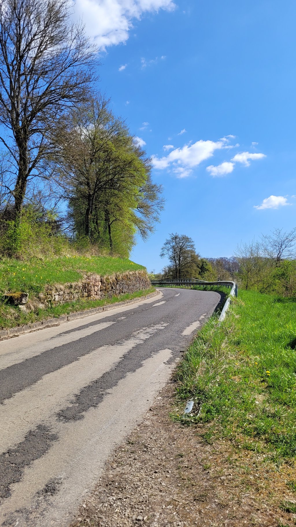
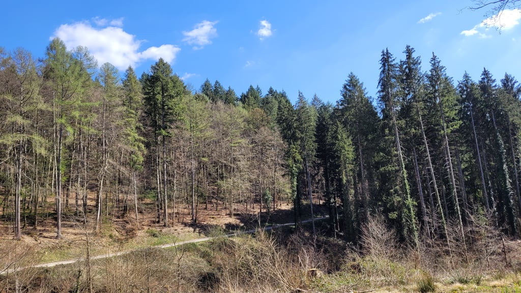
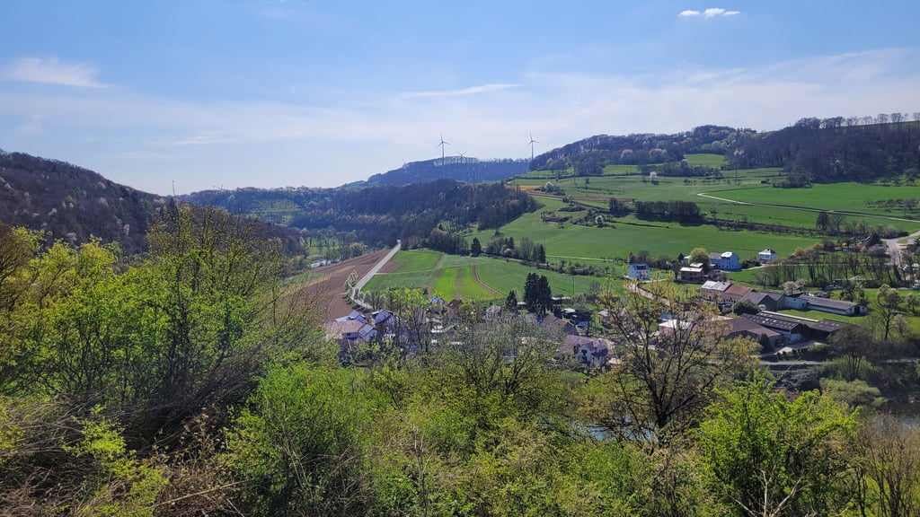
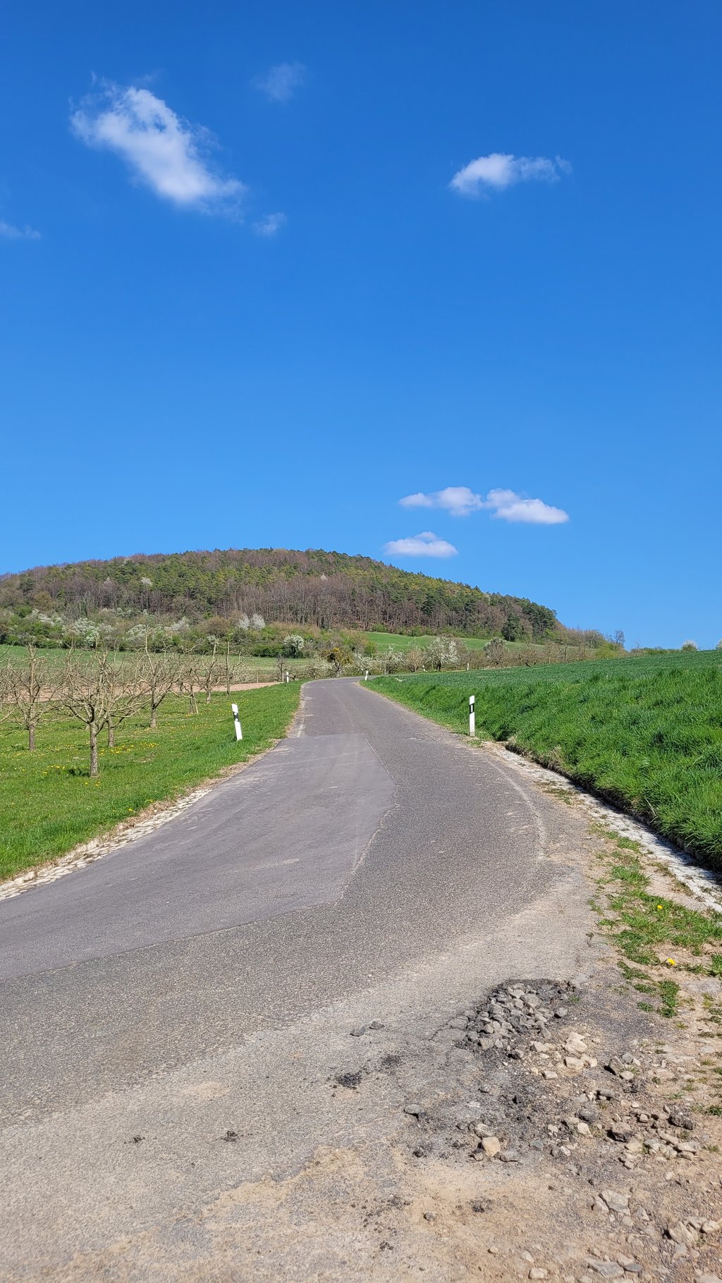
The ascent begins in Wintersdorf, actually a little earlier than indicated here. There you already ride 2 "serpentines" and turn off behind the cemetery towards Udelfangen. From here, the tarmac gets much worse and is no longer very pleasant to ride on. After a few hundred metres, you reach a pavilion that offers a beautiful view of the Sûre valley. At first the climb is unprotected, then you pass through a wooded area, but the road conditions do not improve. In Udelfangen itself it is rather flat. Then another moderate climb begins, this time on fairly good tarmac, until you reach the wind turbines. There is not too much car traffic.
Der Anstieg beginnt in Wintersdorf, eigentlich schon etwas früher als hier angegeben. Dort fährt man bereits 2 "Serpentinen" und fährt hinter den Friedhof Richtung Udelfangen ab. Ab hier wird der Asphalt sehr viel schlechter und ist nicht mehr sehr angenehm zu fahren. Nach einigen hundert Metern erreicht man einen Pavillon, der einen schönen Blick auf das Sauertal bietet. Zunächst liegt der Anstieg ungeschützt, danach durchfährt man ein Waldstück, allerdings werden die Straßenverhältnisse nicht besser. In Udelfangen selber ist es eher flach. Danach beginnt wieder ein moderater Anstieg, diesmal auf ziemlich gutem Asphalt, bis man die Windräder erreicht. Der Autoverkehr ist nicht übermäßig stark.
| 5 mph | 00:50:43 |
| 7 mph | 00:35:54 |
| 9 mph | 00:27:59 |
| 12 mph | 00:21:01 |
This page is better in the app