Horenbosweg is a climb in the region Hageland. It is 0.5 mi long and bridges 92 ft of vertical ascent with an average gradient of 3.8%, resulting in a difficulty score of 17. The top of the ascent is located at 259 ft above sea level. Climbfinder users shared 2 reviews of this climb and uploaded 4 photos.
Road name: Horenbosweg
3.0 by Glen_SolanaThis is an automatic translation, the original language is: Dutch.The first section in the Houwaartsebaan is negligible, not even worthy of a false flat. Then you have to turn right into the Horenbosweg. In the bend, I had to be careful as there was a lot of mud. It really is a concrete lane between the fields. In the distance you can see the "kink" lying there. It looks worse than it really is. A few times on the pedals and you're at the top. The steepest part is so short that it is not too hard. After the summit, the area has beautiful roads... read more
Welcome! Please activate your account if you would like to share something. Look for the verification email in your inbox.
If you want to upload your photos, you need to create an account. It only takes 1 minute and it's completely free.
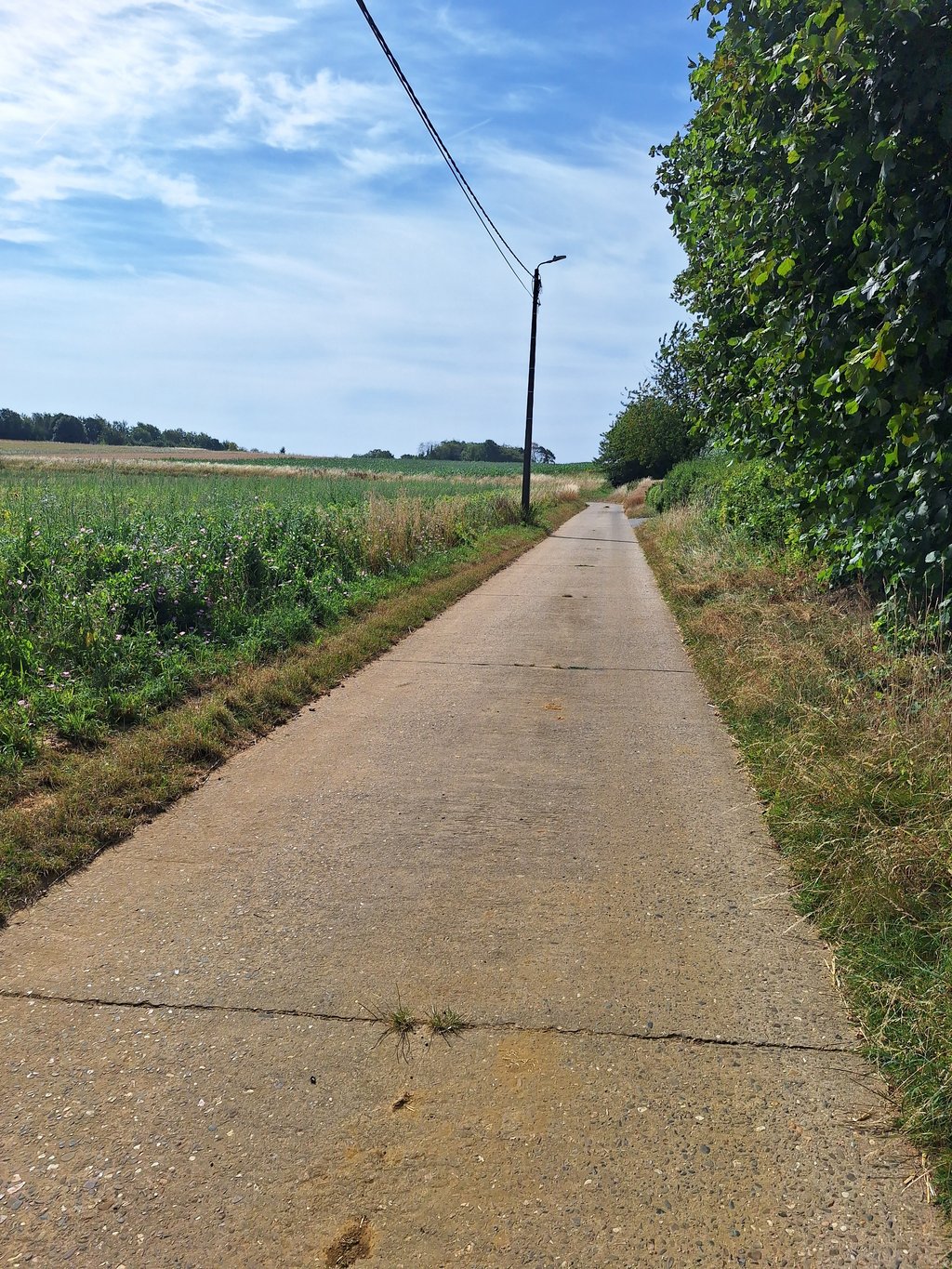
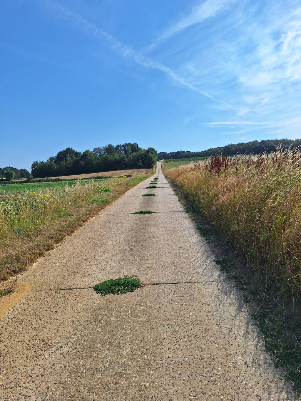
The first section in the Houwaartsebaan is negligible, not even worthy of a false flat. Then you have to turn right into the Horenbosweg. In the bend, I had to be careful as there was a lot of mud. It really is a concrete lane between the fields.
In the distance you can see the "kink" lying there. It looks worse than it really is. A few times on the pedals and you're at the top. The steepest part is so short that it is not too hard.
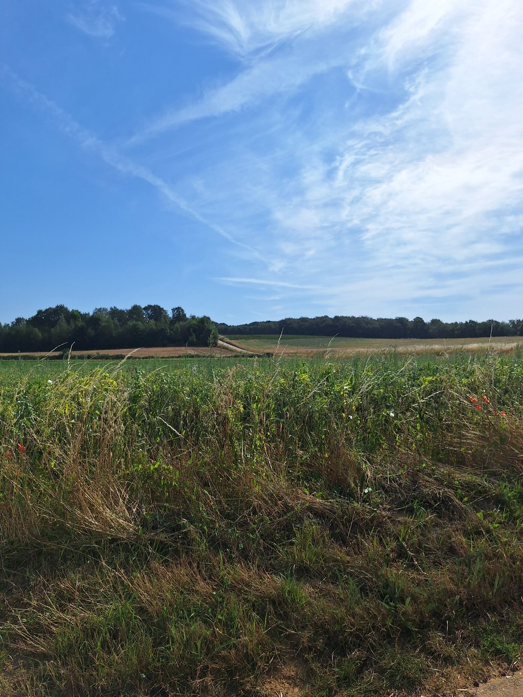
After the summit, the area has beautiful roads for cycling with fantastic views.
Het eerste gedeelte in de Houwaartsebaan is verwaarloosbaar, zelfs geen vals plat waardig. Dan moet je rechts de Horenbosweg in. In de bocht moest ik oppassen, want er lag veel modder. Het is echt een betonbaantje tussen de velden.
In de verte zie je het "knikje" liggen. Het ziet er erger uit dan hij werkelijk is. Enkele keren op de pedalen en je bent boven. Het steilste gedeelte is zo kort, dat het niet te zwaar is.
Na de top heb je in de omgeving mooie wegen om te fietsen met fantastische uitzichten.
Nice alternative with a solid uphill stretch at the end with about 10% but that is admittedly very short.
Leuk alternatief met op het einde een stevig oplopend stuk bij met ongeveer 10% maar dat is weliswaar heel kort.
| 5 mph | 00:05:37 |
| 7 mph | 00:03:58 |
| 9 mph | 00:03:05 |
| 12 mph | 00:02:19 |
This page is better in the app