| Famous climb |
| #36 toughest climb of West Flanders |
| #48 most elevation gain of West Flanders |
| #56 average steepest climb of West Flanders |
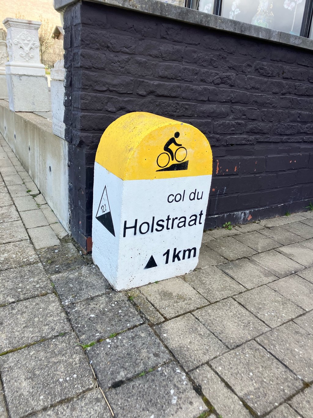
Holstraat is a climb in the region Leiestreek. It is 0.6 mi long and bridges 167 ft of vertical ascent with an average gradient of 4.9%, resulting in a difficulty score of 27. The top of the ascent is located at 269 ft above sea level. Climbfinder users shared 6 reviews of this climb and uploaded 9 photos.
Road name: Holstraat
3.0 by fhuvieThis is an automatic translation, the original language is: Dutch.Nice climb that feels a bit tricky mainly because of its length (approx. km). Once you get the right cadence it goes a lot smoother. Good climb to test yourself.... read more

Welcome! Please activate your account if you would like to share something. Look for the verification email in your inbox.
If you want to upload your photos, you need to create an account. It only takes 1 minute and it's completely free.
Nice climb that feels a bit tricky mainly because of its length (approx. km). Once you get the right cadence it goes a lot smoother. Good climb to test yourself.
Leuke klim die wat lastig aanvoelt vooral door de lengte (km ongeveer). Eens je de goeie cadans te pakken hebt loopt het wel een stuk vlotter. Goede klim om jezelf eens te testen.
A short but smooth climb in the Leie region. The run-up is fairly even, with a slightly steeper bit here and there which means you have to keep a good rhythm.
Halfway up it never really feels tough, but it keeps working constantly until a short steeper finish towards the top.
Not a particularly tough climb, but one that fits nicely into a workout to keep pace.
Een korte maar vlot oplopende klim in de Leiestreek. De aanloop is redelijk gelijkmatig, met hier en daar een iets steiler stukje waardoor je goed in het ritme moet blijven.
Halverwege voelt hij nooit echt zwaar, maar het blijft wel constant werken tot aan een kort steiler slot richting de top.
Geen uitgesproken lastige klim, maar wel eentje die mooi in een training past om tempo vast te houden.
Nice climb. In real life the percentages are harder than indicated here, also save some for the end because that's another short steep bit.
Leuke klim. In het echt zijn de percentages zwaarder dan hier aangegeven, spaar ook nog wat voor het einde want dat is nog een kort steil stukje.
Fine climb of about exactly one kilometre, slight differences in percentage, but it keeps running smoothly. Generally little traffic. I often use it as a gauge.
Fijne beklimming van ongeveer exact een kilometer, kleine verschilletjes qua percentage, maar hij blijft vlot lopen. Over het algemeen weinig verkeer. Ik gebruik hem vaak als graadmeter.
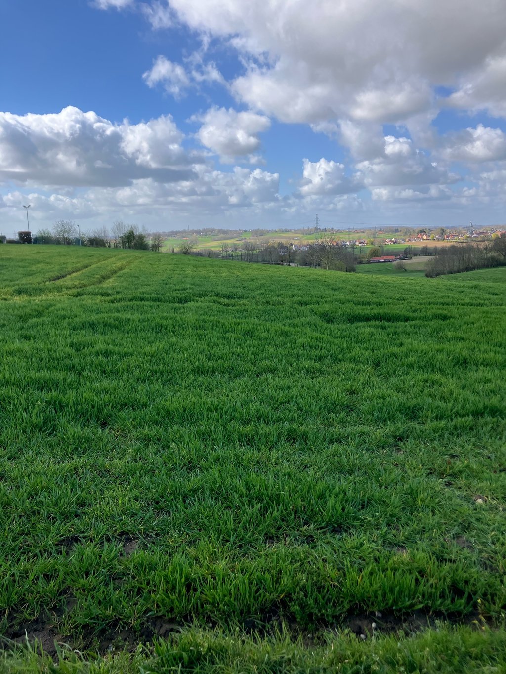
This is a fun climb to do. Very even and never super steep. At the top, there is a view and lots of options for continuing your trek.
Dit is een leuke klim om te doen. Heel gelijkmatig en nooit supersteil. Bovenaan is er een uitzicht en veel opties voor je tocht verder te zetten.
The only climb in the Leie region that has the privilege of being listed in the Cotacol encyclopedia (climb no. 41). Note that the first hectometre is rated at 10% average in that encyclopaedia, significantly higher than here. From experience, I think it is indeed closer to 10 % than 5 or 6 %.
La seule montée de la région de la Lys qui ait le privilège de figurer dans l'encyclopédie Cotacol (côte n° 41). À noter que le premier hectomètre est évalué à 10% de moyenne dans cette encyclopédie, soit nettement plus qu'ici. D'expérience, je pense qu'en effet il est plus proche de 10 % que 5 ou 6 %.
| 5 mph | 00:07:40 |
| 7 mph | 00:05:25 |
| 9 mph | 00:04:13 |
| 12 mph | 00:03:10 |
This page is better in the app