Tips nearby


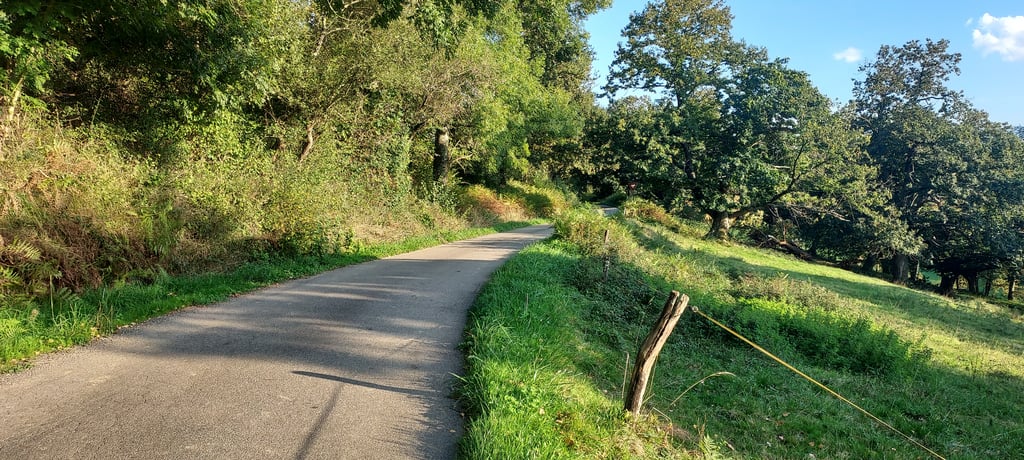
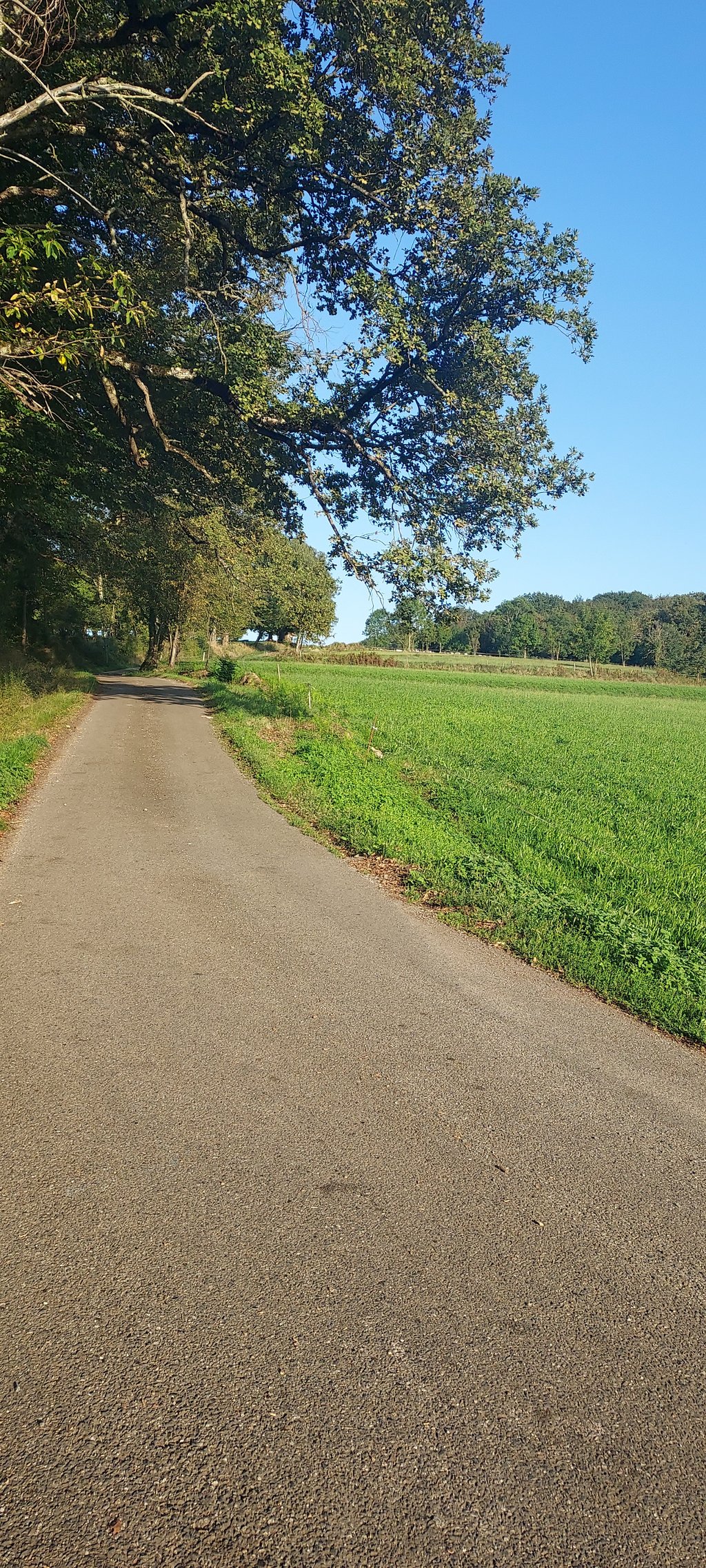
Hitte via Chemin de Caillavuris is a climb in the region Hautes-Pyrénées. It is 0.8 mi long and bridges 417 ft of vertical ascent with an average gradient of 9.4%, resulting in a difficulty score of 134. The top of the ascent is located at 1719 ft above sea level. Climbfinder users shared 1 review/story of this climb and uploaded 4 photos.
Road names: Chemin de Caillavuris & D 28
3.0 by HiFolkThis is an automatic translation, the original language is: French.You can start the climb by descending to the D85-D 119 A junction. The first 300 metres are tough. A short flat section to recover before crossing the junction with the D28 for the final part of the climb. Magnificent views of the Pyrenees at the summit in front of the white calvary (see photo).... read more
Welcome! Please activate your account if you would like to share something. Look for the verification email in your inbox.
If you want to upload your photos, you need to create an account. It only takes 1 minute and it's completely free.
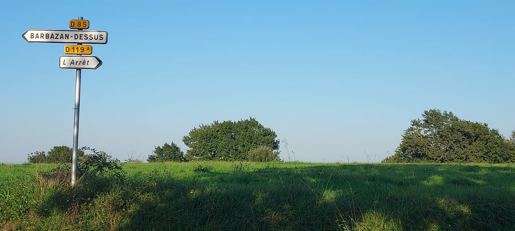
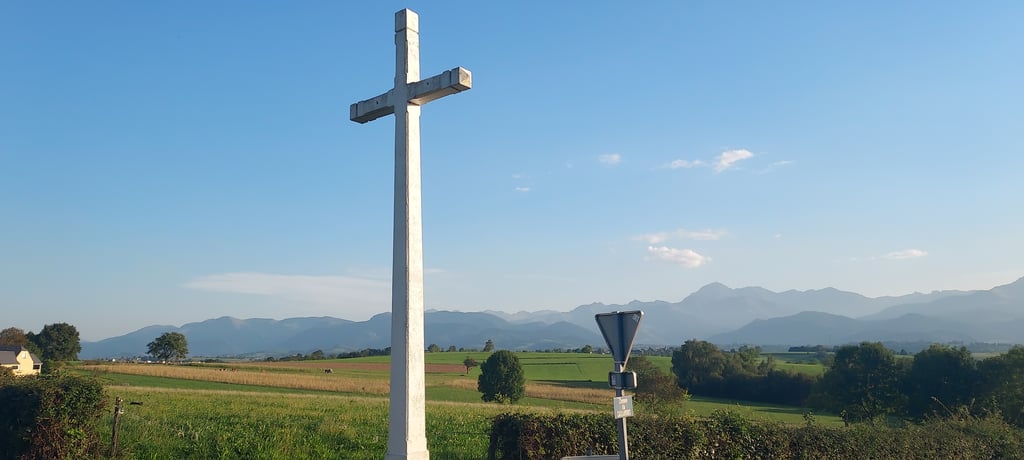
You can start the climb by descending to the D85-D 119 A junction. The first 300 metres are tough. A short flat section to recover before crossing the junction with the D28 for the final part of the climb. Magnificent views of the Pyrenees at the summit in front of the white calvary (see photo).
On peut commencer l'ascension par la descente au carrefour D85-D 119 A. Ensuite les 300 premiers mètres sont sévères. Petit plat pour récupérer puis on traverse le carrefour avec la D28 pour la partie finale de la montée. Magnifique vue au sommet sur la chaîne des pyrénées devant le calvaire blanc (voir photo).
| 5 mph | 00:10:08 |
| 7 mph | 00:07:11 |
| 9 mph | 00:05:35 |
| 12 mph | 00:04:12 |
This page is better in the app