View on map
© MapLibre | OpenStreetMap contributors
1%
2%
4%
6%
8%
10%
12%
15%
20%

Herbesthal from Lontzen

3.0
1 review/story | Elevation profile | 4 photos
Tips nearby
Herbesthal from Lontzen
transparant thumb
transparant thumb
transparant thumb
transparant thumb
Your achievable time
Calculating based on your best performances...
Relaxed
Maximum
W/kg
W/kg
W/kg
Analyze your climbing performance
Detailed insight into your climbing performance & automatically check off climbs
Based on your best performances.
Your best attempt:
Number of attempts:
Elevation profile Herbesthal from Lontzen

Statistics

Difficulty points 20
Length 1.8 mi
Average gradient 1.9%
Steepest segment 5.5%
Total ascent 180 ft
Feedback about this climb?
Show climbs nearby Export to GPS device

Herbesthal from Lontzen is a climb in the region Pays de Herve. It is 1.8 mi long and bridges 180 ft of vertical ascent with an average gradient of 1.9%, resulting in a difficulty score of 20. The top of the ascent is located at 869 ft above sea level. Climbfinder users shared 1 review/story of this climb and uploaded 4 photos.

Road names: Limburger Straße & Pfarrer Schwarz Straße
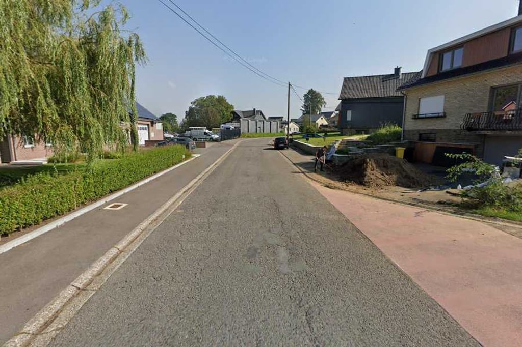
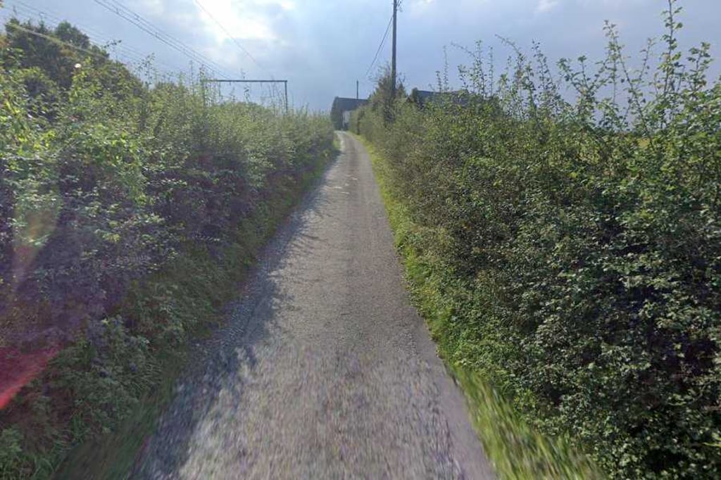
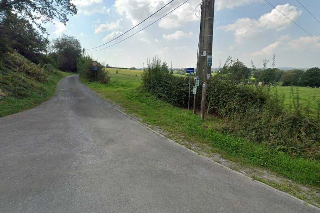
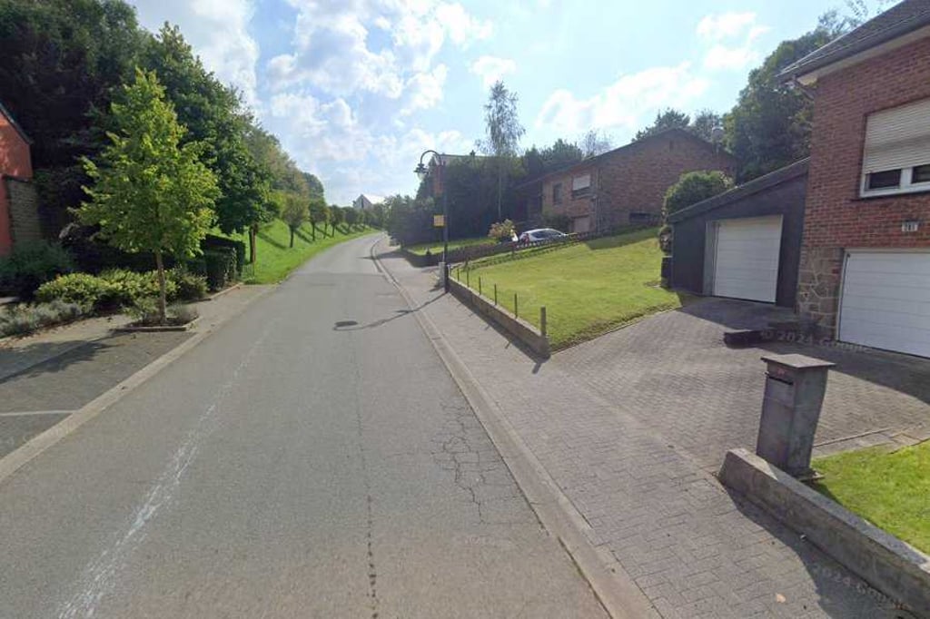
3.0 by BikerJohan
This is an automatic translation, the original language is: Dutch.
This climb starts in Lontzen at the same place as the climb Rabotrather Strasse via Breneresweg. For this climb, you turn right before the railway tunnel onto Pfarrer Schwarz Strasse and head to the top via Kirchstrasse in Herbesthal. The climb has fluctuating gradients. The first steepest part of the climb is midway at a white farmhouse on the right of the road. The second steepest part is in Herbesthal to the top thv the town hall.... read more

Photos (4)

Herbesthal from Lontzen
transparant thumb
transparant thumb

Your uploads (max 4)

Welcome! Please activate your account if you would like to share something. Look for the verification email in your inbox.

If you want to upload your photos, you need to create an account. It only takes 1 minute and it's completely free.

  • Receive free climbfinder goodies for your reviews & photos.
  • Create a bucket list and check off conquered climbs.
  • Add missing climbs.
Continue with GoogleContinue with Google Continue with FacebookContinue with Facebook Continue with AppleContinue with Apple Sign up with email
By signing up you agree to our terms of service and confirm that you have read our privacy & content policy.

Reviews (1)

5.0
4.0
3.0
2.0
1.0
BikerJohan
11 Mo 3.0
This is an automatic translation, the original language is: Dutch. Show original

This climb starts in Lontzen at the same place as the climb Rabotrather Strasse via Breneresweg. For this climb, you turn right before the railway tunnel onto Pfarrer Schwarz Strasse and head to the top via Kirchstrasse in Herbesthal. The climb has fluctuating gradients. The first steepest part of the climb is midway at a white farmhouse on the right of the road. The second steepest part is in Herbesthal to the top thv the town hall.

Deze klim start in Lontzen op dezelfde plaats als de klim Rabotrather Strasse via Breneresweg. Voor deze klim ga je voor het spoorwegtunneltje rechtsaf de Pfarrer Schwarz Strasse op en ga je via de Kirchstrasse in Herbesthal naar de top. De klim heeft fluctuerende stijgingspercentages. Het eerste steilste deel van de klim is halfverwege bij een witte boerderij rechts van de weg. Het tweede steilste deel is in Herbesthal naar de top thv het gemeentehuis.

Dashboard

Climbing times

5 mph 00:21:22
7 mph 00:15:07
9 mph 00:11:47
12 mph 00:08:51

Road surface condition

0% 0% 0%
Based on 0 votes
Share your knowledge. What was the road condition during your ascent?

Traffic

0% 0% 0%
Based on 0 votes
Your experience counts. How much traffic did you encounter during the climb?

Frequently Asked Questions

You don't need special gearing for Herbesthal from Lontzen. The slope isn't long or steep enough to require much shifting down. You can conquer this climb on power alone. However, a compact gearing system with a smallest front chainring of 34 and largest rear sprocket of 28 or 30 is always nice if you enjoy cycling uphill. This helps maintain a smooth cadence.

Herbesthal from Lontzen is not tough enough to be assigned a mountain category. This means that even untrained cyclists can reach the top without any problems on this climb.

Herbesthal from Lontzen is 1.8 mi long.

The average gradient of Herbesthal from Lontzen is 1.9%.

Herbesthal from Lontzen has a steepest segment with an average gradient of 5.5%.

The summit of Herbesthal from Lontzen is at 869 ft.

At a slow pace of 5 mph, it takes about 00:21:22 to climb Herbesthal from Lontzen. At 7 mph the time is 00:15:07, and at 9 mph 00:11:47. For the fastest cyclists, 00:08:51 is an achievable time.

Herbesthal from Lontzen is located in the region High Fens & East Cantons in Belgium.

This page is better in the app

Climbfinder app
Climbfinder
(Free)
Open