Heilig Landstichting via Sionsweg is a climb in the region Rijk van Nijmegen. It is 0.4 mi long and bridges 62 ft of vertical ascent with an average gradient of 3.3%, resulting in a difficulty score of 8. The top of the ascent is located at 174 ft above sea level. Climbfinder users shared 2 reviews of this climb and uploaded 10 photos.
Road name: Sionsweg
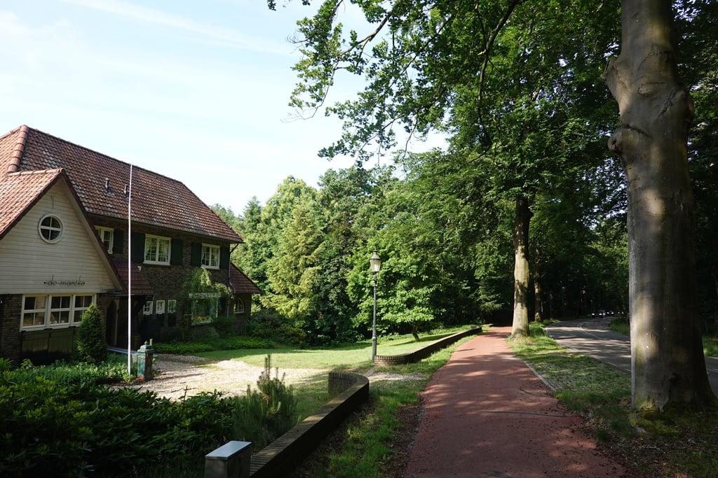
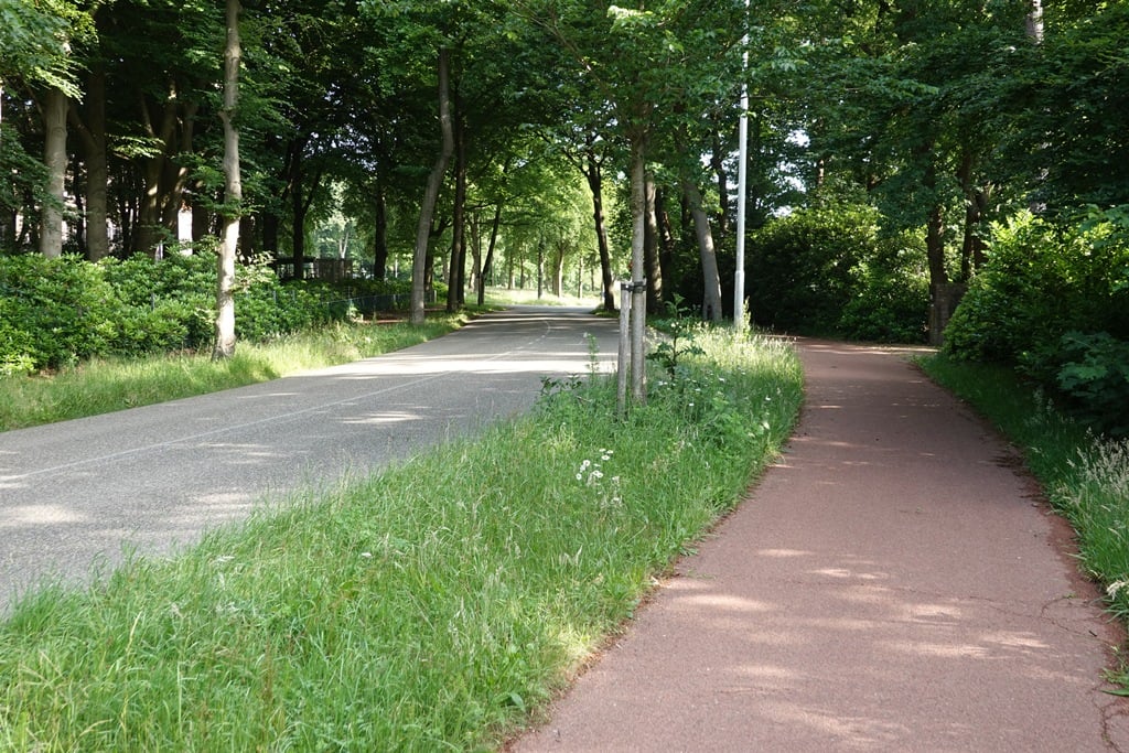
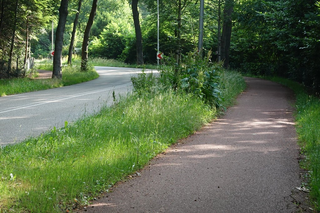
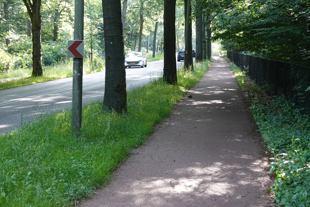
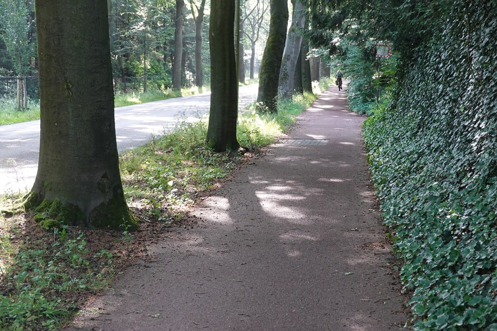
2.0 by FedorThis is an automatic translation, the original language is: Dutch.Over a somewhat narrow cycle path along an occasionally busy road up through the forest. Somehow, visually it doesn't seem to rise much but it does (easily seen near the house). But otherwise just a small climb for this area.... read more

Welcome! Please activate your account if you would like to share something. Look for the verification email in your inbox.
If you want to upload your photos, you need to create an account. It only takes 1 minute and it's completely free.
Over a somewhat narrow cycle path along an occasionally busy road up through the forest. Somehow, visually it doesn't seem to rise much but it does (easily seen near the house). But otherwise just a small climb for this area.
Over een ietwat smal fietspad langs een soms wat drukkere weg door het bos omhoog. Op de een of andere manier lijkt het visueel niet veel te stijgen maar dat doet het wel degelijk (goed te zien bij het huis). Maar verder maar een kleine klim voor dit gebied.
This climb is particularly special because you cycle along a few striking houses and at the end along the special Nebok monastery and restaurant Konbanwa (formerly Sionshof, in WW2 headquarters of the 82nd Airborne during Market Garden). The cycle path is rather narrow but freely lying and has good asphalt. Moreover, you cycle through the forest; not a punishment on a hot sunny day.
Deze klim is vooral bijzonder omdat je langs een paar markante woningen fietst en op het eind langs het bijzondere Neboklooster en restaurant Konbanwa (vroeger Sionshof, in WO2 hoofdkwartier van het 82nd Airborne tijdens Market Garden). Het fietspad is vrij smal maar vrij liggend en heeft goed asfalt. Bovendien fiets je door het bos; geen straf op een hete zonnige dag.
| 5 mph | 00:04:17 |
| 7 mph | 00:03:02 |
| 9 mph | 00:02:22 |
| 12 mph | 00:01:46 |
This page is better in the app