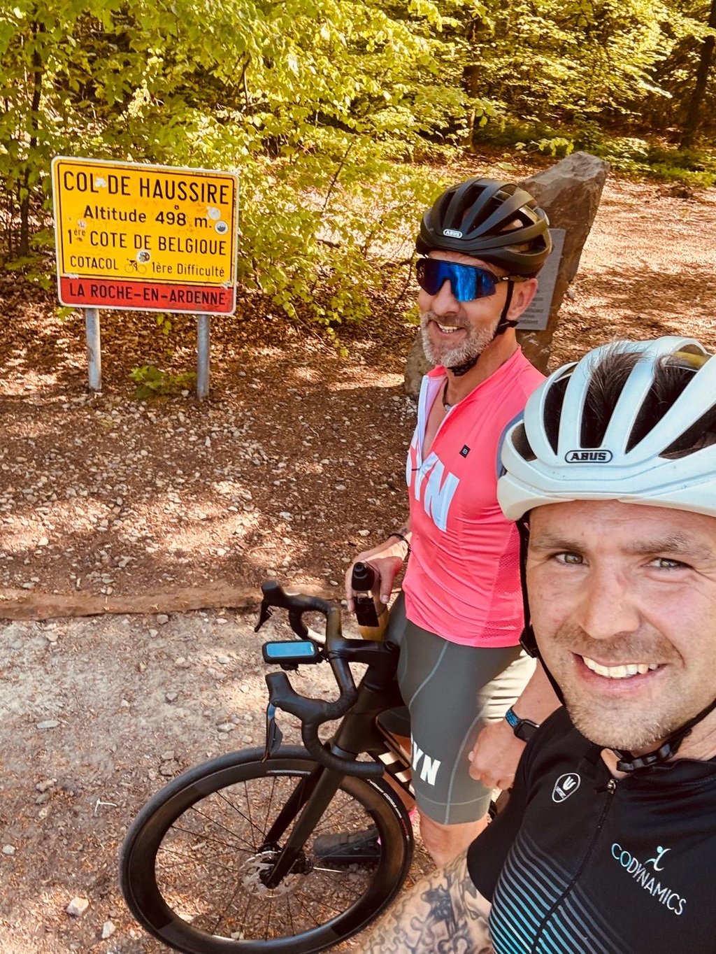
Col de Haussire West is a climb in the region Heart of the Ardennes. It is 3.5 mi long and bridges 912 ft of vertical ascent with an average gradient of 4.9%, resulting in a difficulty score of 149. The top of the ascent is located at 1634 ft above sea level. Climbfinder users shared 2 reviews of this climb and uploaded 2 photos.
Road names: N89 & Val du Pierreux
4.0 by PiekpionierThis is an automatic translation, the original language is: Dutch.A long, gradually ascending climb that feels fairly gentle in the first section, with a profile that’s easy to pace. After the right turn, the character changes and it becomes noticeably steeper and more selective. Compared to the other Haussire routes, this remains the most accessible version, though you’ll definitely still have to work hard on the second section to reach the top. ... read more
Welcome! Please activate your account if you would like to share something. Look for the verification email in your inbox.
If you want to upload your photos, you need to create an account. It only takes 1 minute and it's completely free.
A long, gradually ascending climb that feels fairly gentle in the first section, with a profile that’s easy to pace. After the right turn, the character changes and it becomes noticeably steeper and more selective. Compared to the other Haussire routes, this remains the most accessible version, though you’ll definitely still have to work hard on the second section to reach the top.
Een lange en geleidelijk opbouwende klim die in het eerste deel nog vrij vriendelijk aanvoelt met een goed te doseren profiel. Na de afslag naar rechts verandert het karakter en wordt het duidelijk steiler en selectiever. Vergeleken met de Haussire-varianten blijft dit de meest toegankelijke versie, al moet je op het tweede deel zeker nog werken tot boven.
This variant of the côte de Haussire can also be considered a more difficult variant of the côte de Samrée, with which the first four kilometres are shared.
Then you take a sharp right turn into the forest and the terrain changes completely: from a wide carriageway to a fairly narrow road, from busy to sparse, the impeccable asphalt becomes dubious... and the gradient increases dramatically. When the gradient becomes gentler, the summit is not far away.
Côte n°448 de l'encyclopédie Cotacol. On peut considérer cette variante de la côte de Haussire également comme une variante plus difficile de la côte de Samrée, avec laquelle les quatre premiers kilomètres sont communs.
Puis on prend un sec virage à droite pour entrer en pleine forêt et le terrain change complètement de nature : d'une chaussée large on passe à une route assez étroite, de fréquentée elle passe à clairsemée, l'asphalte impeccable devient douteux… et la pente augmente drastiquement (un hectomètre à 12% selon Cotacol et les deux suivants à 10%). Lorsqu'elle s'adoucit, le sommet n'est plus très loin : il reste environ un kilomètre à parcourir avec une pente irrégulière mais qui reste moins forte.
| 5 mph | 00:42:41 |
| 7 mph | 00:30:13 |
| 9 mph | 00:23:33 |
| 12 mph | 00:17:41 |
This page is better in the app