Gulpen is a climb in the region Pays de Herve. It is 0.2 mi long and bridges 52 ft of vertical ascent with an average gradient of 3.9%, resulting in a difficulty score of 6. The top of the ascent is located at 909 ft above sea level. Climbfinder users shared 1 review/story of this climb and uploaded 1 photo.
Road name: Gulpen
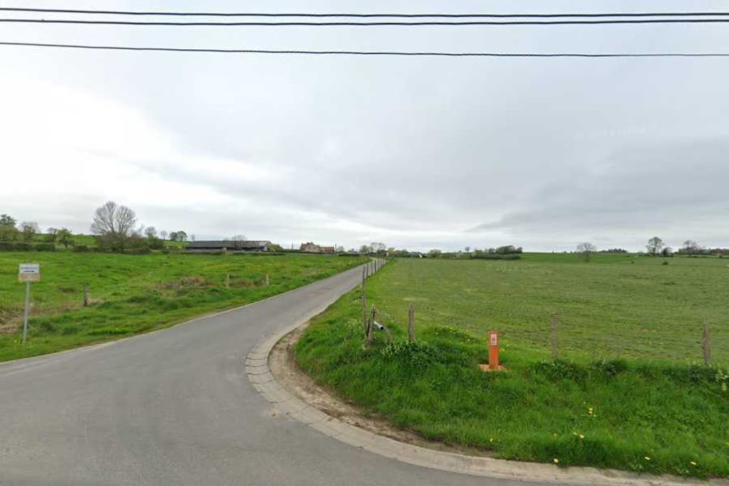
2.0 by BikerJohanThis is an automatic translation, the original language is: Dutch.Short climb on a dead-end side road from the road between Hombourg and Henri-Chapelle. Climb has styrak gradient of 3-4%.... read more
Welcome! Please activate your account if you would like to share something. Look for the verification email in your inbox.
If you want to upload your photos, you need to create an account. It only takes 1 minute and it's completely free.
Short climb on a dead-end side road from the road between Hombourg and Henri-Chapelle. Climb has styrak gradient of 3-4%.
Kort klimmetje op een doodlopend zijweggetje vanaf de weg tussen Hombourg en Henri-Chapelle. Klim heeft styrak stijgingspercentage van 3-4%.
| 5 mph | 00:03:00 |
| 7 mph | 00:02:08 |
| 9 mph | 00:01:39 |
| 12 mph | 00:01:14 |
This page is better in the app